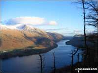
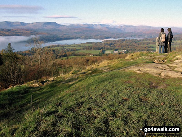
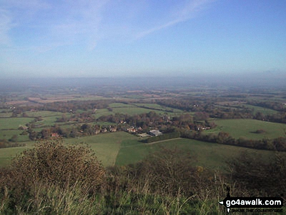
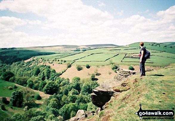
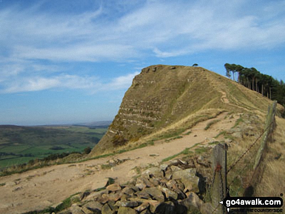
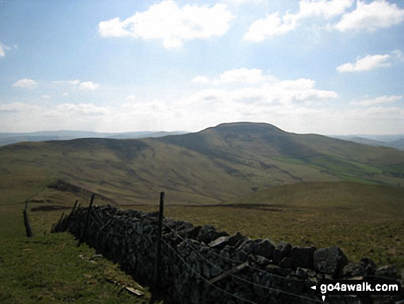
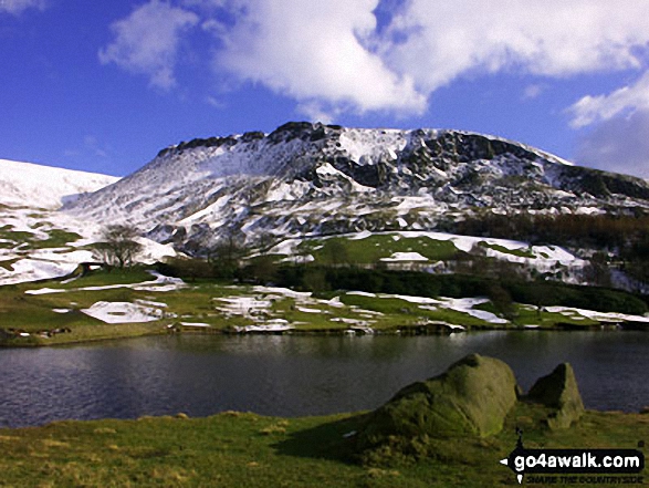
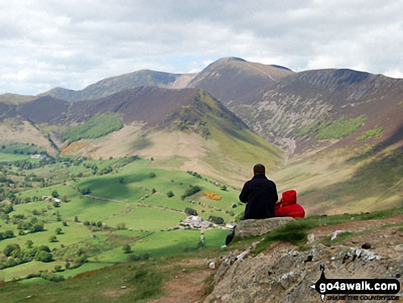
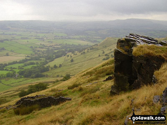
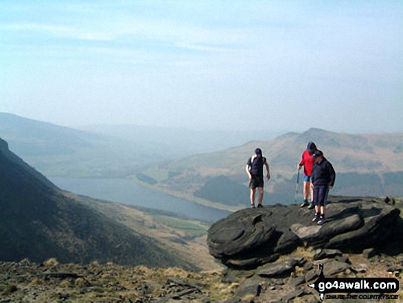
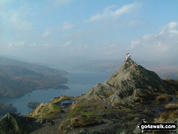
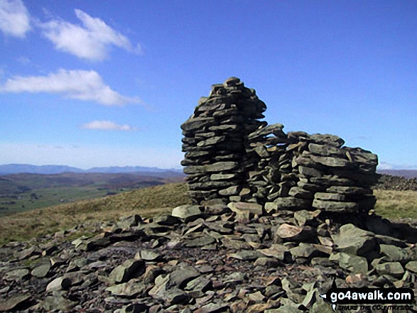
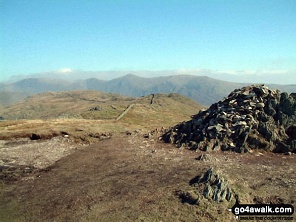
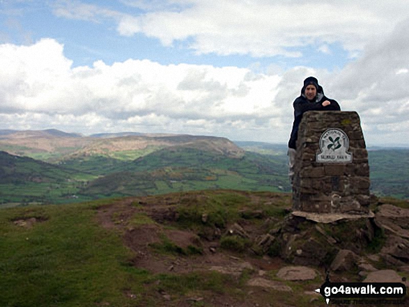
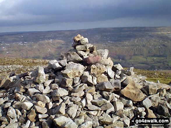
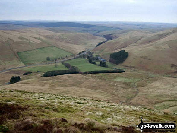
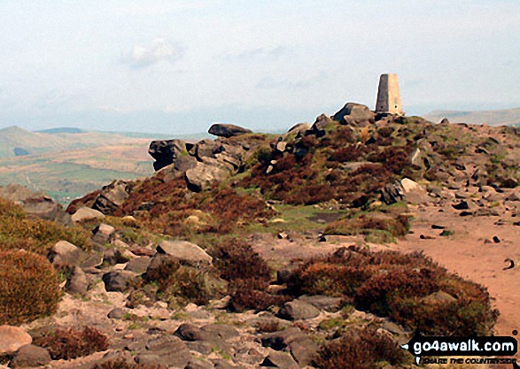
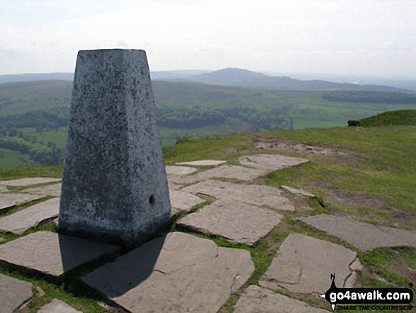
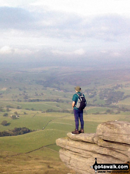
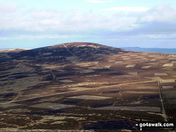
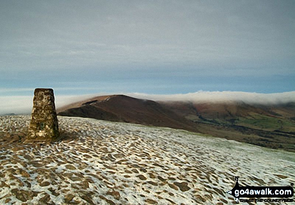
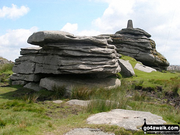
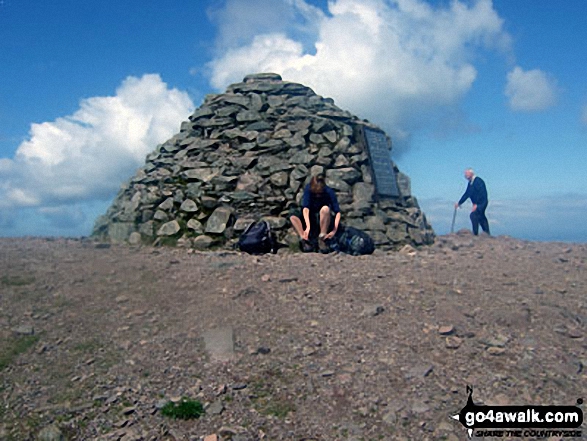
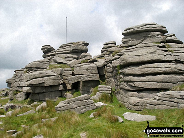
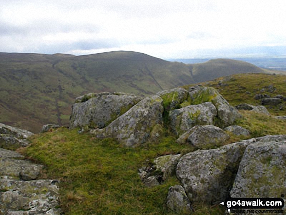
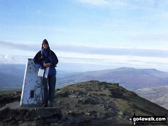
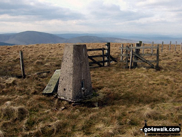
Little Hills with a Big, Big View - a fully detailed list of some of the smaller hills in Britain that have a terrific view
Not everyone wants to (or can) walk up huge 2000ft mountains.
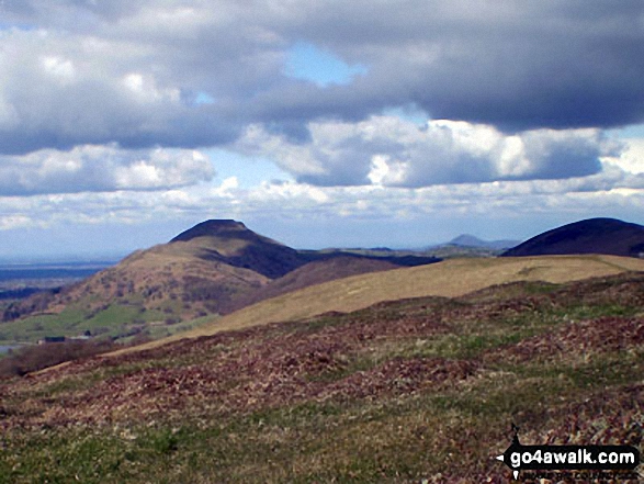
Indeed, some of Britain's smaller hills offer just as good a view, take less energy to conquer and are not so likely to be shrouded in mist when you get to the summit.
Which, to be honest, would be a bonus!
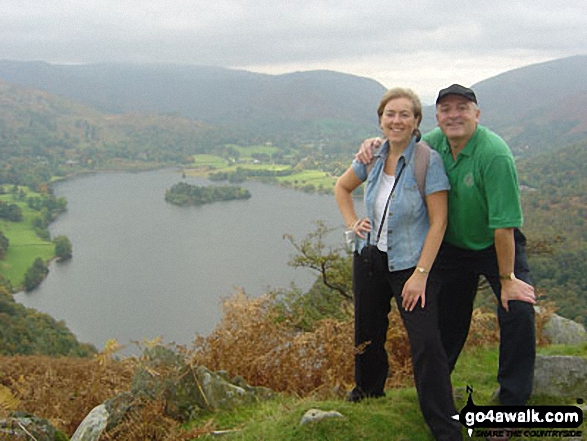
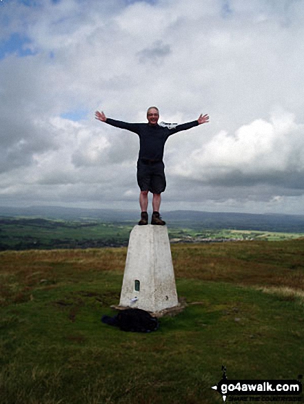
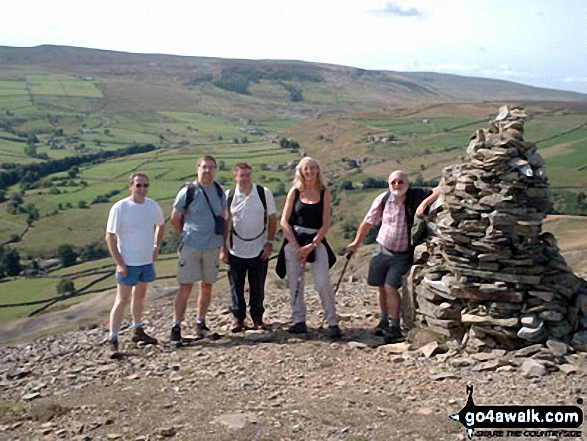
If you have children and want to take them for a walk, then some of the UK's smaller hills are the perfect way to get your kids smitten by the walking bug and enjoy a healthy day out in the English, Scottish or Welsh countryside.
So here are suggestions for some hills in England, Scotland and Wales with great views that all the family can enjoy.
On our  Facebook and
  Twitter Pages we have been regularly suggesting Little Hills with Big, Big Views for a while now. However, not everyone has access to Facebook or Twitter so here's a list of all of them.
It is not a definitive list - but a growing one. If you have a suggestion for a Little Hill with a Big, Big View that you think all those Mums, Dads, Aunties, Uncles, Boys, Girls, Grandads, Grandmas and the whole the family out there would enjoy walking - then let us know and we will try and add it our our collection.
Oh - and don't forget to upload your photos to our Facebook Wall so we can everyone see them. Enjoy . . .
If you include all the Little Hills with Big, Big Views that are also Wainwrights, Deweys, Wainwright Outlying Fells, Marilyns, Bridgets (Hills) and all the Mountains, Tops, Peaks and Hills with a Trig Point on them there are 105 tops to climb, bag & conquer and the highest point is Tudhope Hill at 599m (1,966ft).
To see these Mountains, Peaks, Tops and Hills displayed in different ways - see the options in the left-hand column and towards the bottom of this page.
LOG ON and RELOAD this page to show which Mountains, Peaks, Tops and Hills you have already climbed, bagged & conquered [. . . more details]
You have not climbed, bagged & conquered any of these 106 Mountains, Peaks, Tops and Hills in Little Hills with a Big, Big View
See your UK National Mountain & Hill Bagging Record
See this list in: Alphabetical Order
| Height Order‡
To reverse the order select the link again.
Mountain, Peak, Top or Hill:
Bagged
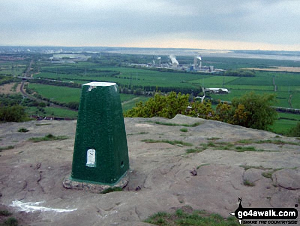
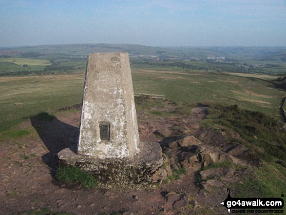
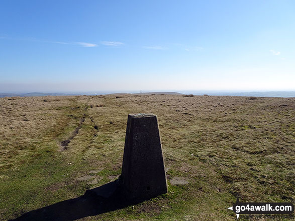
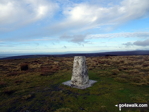
1. Helsby Hill
141m (462ft)
Bridget
OS Trig Point
To walk, climb & bag Helsby Hill use this easy-to-follow walk:
See the location of Helsby Hill and walks up it on a google MapHelsby Hill is on interactive maps:
OS Explorer (Orange Covers): 267
OS Landranger (Pink Covers): 117
Helsby Hill is on downloadable PDF you can Print or Save to your Phone:
|
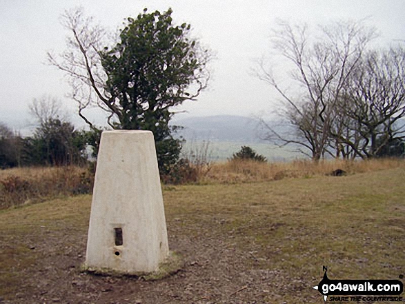
2. Arnside Knott
159m (522ft)
Marilyn (175th in England, 1554th in GB)
OS Trig Point
To walk, climb & bag Arnside Knott use this easy-to-follow walk:
See the location of Arnside Knott and walks up it on a google MapArnside Knott is on interactive maps:
OS Explorer (Orange Covers): OL7
OS Landranger (Pink Covers): 97
Arnside Knott is on downloadable PDF you can Print or Save to your Phone:
|
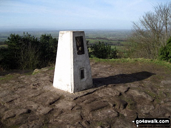
3. Raw Head (Rawhead)
227m (745ft)
Bridget
OS Trig Point
To walk, climb & bag Raw Head (Rawhead) use any of these easy-to-follow walks:
See the location of Raw Head (Rawhead) and walks up it on a google MapRaw Head (Rawhead) is on interactive maps:
OS Explorer (Orange Covers): 257
OS Landranger (Pink Covers): 117
Raw Head (Rawhead) is on downloadable PDF you can Print or Save to your Phone:
|
4. Orrest Head
238m (781ft)
Wainwright Outlying Fell (No. 97)
To walk, climb & bag Orrest Head use either of these easy-to-follow walks:
See the location of Orrest Head and walks up it on a google MapOrrest Head is on interactive maps:
OS Explorer (Orange Covers): OL7
OS Landranger (Pink Covers): 96 and
97
A downloadable go4awalk.com PDF Peak Bagging Map featuring Orrest Head will be available soon. |
5. Ditchling Beacon
248m (813ft)
Marilyn (156th in England, 1474th in GB)
OS Trig Point
Ditchling Beacon is the highest point in the county of East Sussex.
To walk, climb & bag Ditchling Beacon use either of these easy-to-follow walks:
See the location of Ditchling Beacon and walks up it on a google MapDitchling Beacon is on interactive maps:
OS Explorer (Orange Covers): OL11
OS Landranger (Pink Covers): 198
A downloadable go4awalk.com PDF Peak Bagging Map featuring Ditchling Beacon will be available soon. |
6. Claife Heights (High Blind How)
270m (886ft)
Wainwright Outlying Fell (No. 83)
Marilyn (147th in England, 1433rd in GB)
OS Trig Point
To walk, climb & bag Claife Heights (High Blind How) use this easy-to-follow walk:
See the location of Claife Heights (High Blind How) and walks up it on a google MapClaife Heights (High Blind How) is on interactive maps:
OS Explorer (Orange Covers): OL7
OS Landranger (Pink Covers): 96 and
97
A downloadable go4awalk.com PDF Peak Bagging Map featuring Claife Heights (High Blind How) will be available soon. |
7. Thorpe Cloud
287m (941ft)
Bridget
To walk, climb & bag Thorpe Cloud use any of these easy-to-follow walks:
See the location of Thorpe Cloud and walks up it on a google MapThorpe Cloud is on interactive maps:
OS Explorer (Orange Covers): OL24
OS Landranger (Pink Covers): 119
Thorpe Cloud is on downloadable PDF you can Print or Save to your Phone:
|
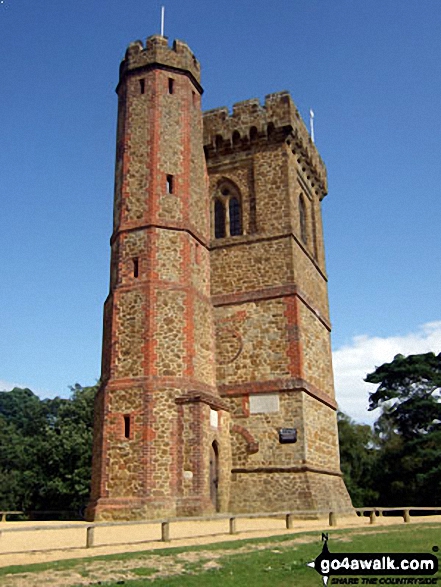
8. Leith Hill
295m (968ft)
Marilyn (135th in England, 1387th in GB)
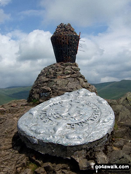
At 994m (965ft) Leith Hill is not only the highest point in Surrey but the highest point in South East of England. On a clear day you can see 13 counties as well as St Paul's Cathedral and the English Channel from the top of the tower.
To walk, climb & bag Leith Hill use this easy-to-follow walk:
See the location of Leith Hill and walks up it on a google MapLeith Hill is on interactive maps:
OS Explorer (Orange Covers): 146
OS Landranger (Pink Covers): 187
A downloadable go4awalk.com PDF Peak Bagging Map featuring Leith Hill will be available soon. |
9. Nelson's Monument (Birchen Edge)
302m (991ft)
Bridget
OS Trig Point
To walk, climb & bag Nelson's Monument (Birchen Edge) use either of these easy-to-follow walks:
See the location of Nelson's Monument (Birchen Edge) and walks up it on a google MapNelson's Monument (Birchen Edge) is on interactive maps:
OS Explorer (Orange Covers): OL24
OS Landranger (Pink Covers): 119
Nelson's Monument (Birchen Edge) is on downloadable PDF you can Print or Save to your Phone:
|
10. Beinn Lora
308m (1,011ft)
Marilyn (1094th in Scotland, 1367th in GB)
OS Trig Point
To walk, climb & bag Beinn Lora use this easy-to-follow walk:
See the location of Beinn Lora and walks up it on a google MapBeinn Lora is on interactive maps:
OS Explorer (Orange Covers): 376
OS Landranger (Pink Covers): 49
A downloadable go4awalk.com PDF Peak Bagging Map featuring Beinn Lora will be available soon. |
11. Grib Ddu
318m (1,044ft)
Bridget
To walk, climb & bag Grib Ddu use this easy-to-follow walk:
See the location of Grib Ddu and walks up it on a google MapGrib Ddu is on interactive maps:
OS Explorer (Orange Covers): OL17
OS Landranger (Pink Covers): 117
Grib Ddu is on downloadable PDF you can Print or Save to your Phone:
|
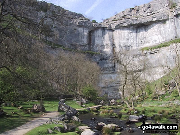
12. Malham Cove
319m (1,047ft)
Bridget
To walk, climb & bag Malham Cove use any of these easy-to-follow walks:
See the location of Malham Cove and walks up it on a google MapMalham Cove is on interactive maps:
OS Explorer (Orange Covers): OL2
OS Landranger (Pink Covers): 98
Malham Cove is on downloadable PDF you can Print or Save to your Phone:
|
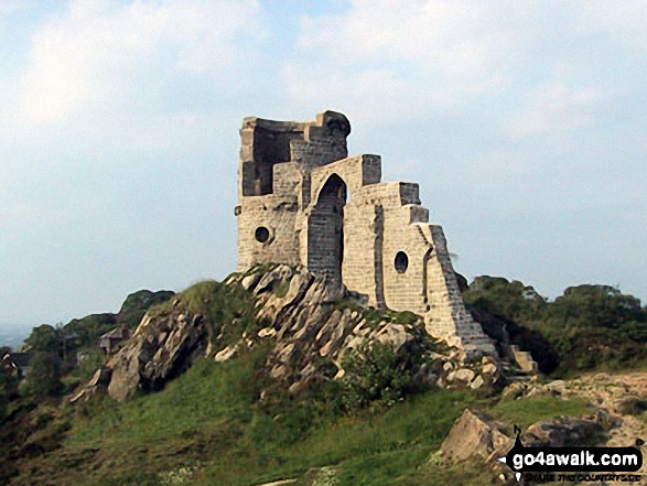
13. Mow Cop (Old Man of Mow)
335m (1,099ft)
Bridget
OS Trig Point
To walk, climb & bag Mow Cop (Old Man of Mow) use either of these easy-to-follow walks:
See the location of Mow Cop (Old Man of Mow) and walks up it on a google MapMow Cop (Old Man of Mow) is on interactive maps:
OS Explorer (Orange Covers): 268
OS Landranger (Pink Covers): 118
Mow Cop (Old Man of Mow) is on downloadable PDF you can Print or Save to your Phone:
|
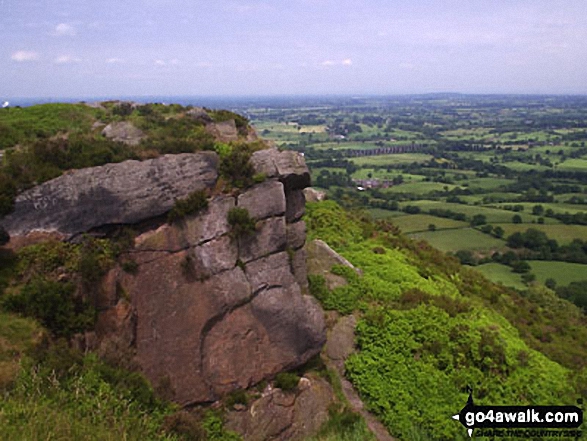
14. The Cloud (Bosley Cloud)
343m (1,125ft)
Marilyn (110th in England, 1309th in GB)
OS Trig Point
To walk, climb & bag The Cloud (Bosley Cloud) use any of these easy-to-follow walks:
See the location of The Cloud (Bosley Cloud) and walks up it on a google MapThe Cloud (Bosley Cloud) is on interactive maps:
OS Explorer (Orange Covers): 268
OS Landranger (Pink Covers): 118
The Cloud (Bosley Cloud) is on downloadable PDF you can Print or Save to your Phone:
|
15. Peel Tower
356m (1,168ft)
Bridget
To walk, climb & bag Peel Tower use any of these easy-to-follow walks:
See the location of Peel Tower and walks up it on a google MapPeel Tower is on interactive maps:
OS Explorer (Orange Covers): 287
OS Landranger (Pink Covers): 109
Peel Tower is on downloadable PDF you can Print or Save to your Phone:
|
16. Sharp Haw
357m (1,171ft)
Marilyn (107th in England, 1291st in GB)
OS Trig Point
To walk, climb & bag Sharp Haw use this easy-to-follow walk:
See the location of Sharp Haw and walks up it on a google MapSharp Haw is on interactive maps:
OS Explorer (Orange Covers): OL2
OS Landranger (Pink Covers): 103
Sharp Haw is on downloadable PDF you can Print or Save to your Phone:
|
17. Troutbeck Tongue
364m (1,195ft)
Wainwright (No. 207)
To walk, climb & bag Troutbeck Tongue use any of these easy-to-follow walks:
See the location of Troutbeck Tongue and walks up it on a google MapTroutbeck Tongue is on interactive maps:
OS Explorer (Orange Covers): OL7
OS Landranger (Pink Covers): 90
Troutbeck Tongue is on downloadable PDF you can Print or Save to your Phone:
*Version including the walk routes marked on it that you need to follow to Walk all 214 Wainwrights in just 59 walks. |
18. Grindon Moor (Grindon Moor)
377m (1,237ft)
Bridget
OS Trig Point
To walk, climb & bag Grindon Moor (Grindon Moor) use any of these easy-to-follow walks:
See the location of Grindon Moor (Grindon Moor) and walks up it on a google MapGrindon Moor (Grindon Moor) is on interactive maps:
OS Explorer (Orange Covers): OL24
OS Landranger (Pink Covers): 119
Grindon Moor (Grindon Moor) is on downloadable PDF you can Print or Save to your Phone:
|
19. The Lawley
377m (1,237ft)
Bridget
To walk, climb & bag The Lawley use either of these easy-to-follow walks:
See the location of The Lawley and walks up it on a google MapThe Lawley is on interactive maps:
OS Explorer (Orange Covers): 217
OS Landranger (Pink Covers): 137 and
138
The Lawley is on downloadable PDF you can Print or Save to your Phone:
|
20. Tegg's Nose
380m (1,247ft)
Bridget
To walk, climb & bag Tegg's Nose use this easy-to-follow walk:
See the location of Tegg's Nose and walks up it on a google MapTegg's Nose is on interactive maps:
OS Explorer (Orange Covers): OL24
OS Landranger (Pink Covers): 109
Tegg's Nose is on downloadable PDF you can Print or Save to your Phone:
|
21. Great Hill
381m (1,250ft)
Bridget
To walk, climb & bag Great Hill use this easy-to-follow walk:
See the location of Great Hill and walks up it on a google MapGreat Hill is on interactive maps:
OS Explorer (Orange Covers): 287
OS Landranger (Pink Covers): 109
Great Hill is on downloadable PDF you can Print or Save to your Phone:
|
22. Crook Hill (Ladybower)
382m (1,254ft)
Bridget
To walk, climb & bag Crook Hill (Ladybower) use this easy-to-follow walk:
See the location of Crook Hill (Ladybower) and walks up it on a google MapCrook Hill (Ladybower) is on interactive maps:
OS Explorer (Orange Covers): OL1
OS Landranger (Pink Covers): 110
Crook Hill (Ladybower) is on downloadable PDF you can Print or Save to your Phone:
|
23. Wincle Minn
384m (1,260ft)
Bridget
To walk, climb & bag Wincle Minn use this easy-to-follow walk:
See the location of Wincle Minn and walks up it on a google MapWincle Minn is on interactive maps:
OS Explorer (Orange Covers): OL24
OS Landranger (Pink Covers): 118
Wincle Minn is on downloadable PDF you can Print or Save to your Phone:
|
24. Silver How
395m (1,296ft)
Wainwright (No. 202)
To walk, climb & bag Silver How use any of these easy-to-follow walks:
See the location of Silver How and walks up it on a google MapSilver How is on interactive maps:
OS Explorer (Orange Covers): OL7
OS Landranger (Pink Covers): 90
Silver How is on downloadable PDF you can Print or Save to your Phone:
*Version including the walk routes marked on it that you need to follow to Walk all 214 Wainwrights in just 59 walks. |
25. Weets Hill
397m (1,303ft)
Bridget
OS Trig Point
To walk, climb & bag Weets Hill use this easy-to-follow walk:
See the location of Weets Hill and walks up it on a google MapWeets Hill is on interactive maps:
OS Explorer (Orange Covers): OL21 and
OL41
OS Landranger (Pink Covers): 103
Weets Hill is on downloadable PDF you can Print or Save to your Phone:
|
26. Ragleth Hill
398m (1,306ft)
Bridget
To walk, climb & bag Ragleth Hill use any of these easy-to-follow walks:
See the location of Ragleth Hill and walks up it on a google MapRagleth Hill is on interactive maps:
OS Explorer (Orange Covers): 217
OS Landranger (Pink Covers): 137 and
138
Ragleth Hill is on downloadable PDF you can Print or Save to your Phone:
|
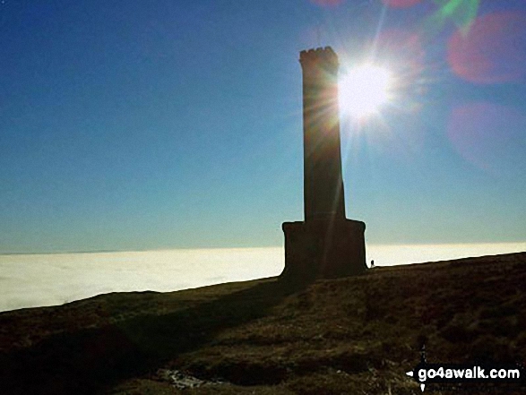
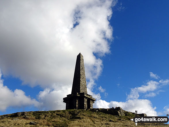
27. Stoodley Pike
401m (1,316ft)
Bridget
To walk, climb & bag Stoodley Pike use any of these easy-to-follow walks:
See the location of Stoodley Pike and walks up it on a google MapStoodley Pike is on interactive maps:
OS Explorer (Orange Covers): OL21
OS Landranger (Pink Covers): 103
Stoodley Pike is on downloadable PDF you can Print or Save to your Phone:
|
28. Croker Hill
402m (1,319ft)
Bridget
OS Trig Point
To walk, climb & bag Croker Hill use this easy-to-follow walk:
See the location of Croker Hill and walks up it on a google MapCroker Hill is on interactive maps:
OS Explorer (Orange Covers): OL1
OS Landranger (Pink Covers): 118
Croker Hill is on downloadable PDF you can Print or Save to your Phone:
|
29. Rombalds Moor (Ilkley Moor)
402m (1,319ft)
Marilyn (97th in England, 1203rd in GB)
OS Trig Point
To walk, climb & bag Rombalds Moor (Ilkley Moor) use either of these easy-to-follow walks:
See the location of Rombalds Moor (Ilkley Moor) and walks up it on a google MapRombalds Moor (Ilkley Moor) is on interactive maps:
OS Explorer (Orange Covers): 297
OS Landranger (Pink Covers): 104
Rombalds Moor (Ilkley Moor) is on downloadable PDF you can Print or Save to your Phone:
|
30. The Wrekin
407m (1,335ft)
Marilyn (96th in England, 1193rd in GB)
OS Trig Point
To walk, climb & bag The Wrekin use this easy-to-follow walk:
See the location of The Wrekin and walks up it on a google MapThe Wrekin is on interactive maps:
OS Explorer (Orange Covers): 242
OS Landranger (Pink Covers): 127
The Wrekin is on downloadable PDF you can Print or Save to your Phone:
|
31. Rylstone Fell
410m (1,345ft)
Bridget
To walk, climb & bag Rylstone Fell use any of these easy-to-follow walks:
See the location of Rylstone Fell and walks up it on a google MapRylstone Fell is on interactive maps:
OS Explorer (Orange Covers): OL2
OS Landranger (Pink Covers): 103
Rylstone Fell is on downloadable PDF you can Print or Save to your Phone:
|
32. Sponds Hill
410m (1,346ft)
Bridget
OS Trig Point
To walk, climb & bag Sponds Hill use either of these easy-to-follow walks:
See the location of Sponds Hill and walks up it on a google MapSponds Hill is on interactive maps:
OS Explorer (Orange Covers): 024
OS Landranger (Pink Covers): 109
Sponds Hill is on downloadable PDF you can Print or Save to your Phone:
|
33. Lang How
414m (1,359ft)
Bridget
To walk, climb & bag Lang How use any of these easy-to-follow walks:
See the location of Lang How and walks up it on a google MapLang How is on interactive maps:
OS Explorer (Orange Covers): OL7
OS Landranger (Pink Covers): 90
Lang How is on downloadable PDF you can Print or Save to your Phone:
*Version including the walk routes marked on it that you need to follow to Walk all 214 Wainwrights in just 59 walks. |
34. Crookrise Crag Top
415m (1,362ft)
Bridget
OS Trig Point
To walk, climb & bag Crookrise Crag Top use any of these easy-to-follow walks:
See the location of Crookrise Crag Top and walks up it on a google MapCrookrise Crag Top is on interactive maps:
OS Explorer (Orange Covers): OL2
OS Landranger (Pink Covers): 103
Crookrise Crag Top is on downloadable PDF you can Print or Save to your Phone:
|
35. Burton Bole End (Abney Moor)
417m (1,369ft)
Bridget
To walk, climb & bag Burton Bole End (Abney Moor) use either of these easy-to-follow walks:
See the location of Burton Bole End (Abney Moor) and walks up it on a google MapBurton Bole End (Abney Moor) is on interactive maps:
OS Explorer (Orange Covers): OL24
OS Landranger (Pink Covers): 119
Burton Bole End (Abney Moor) is on downloadable PDF you can Print or Save to your Phone:
|
36. Bull Hill (Holcombe Moor)
418m (1,371ft)
Bridget
OS Trig Point
We hope to have walks that climb & bag Bull Hill (Holcombe Moor) very soon
See the location of Bull Hill (Holcombe Moor) and walks up it on a google MapBull Hill (Holcombe Moor) is on interactive maps:
OS Explorer (Orange Covers): 287
OS Landranger (Pink Covers): 109
Bull Hill (Holcombe Moor) is on downloadable PDF you can Print or Save to your Phone:
|
37. Dumyat
418m (1,372ft)
Marilyn (966th in Scotland, 1169th in GB)
OS Trig Point
To walk, climb & bag Dumyat use this easy-to-follow walk:
See the location of Dumyat and walks up it on a google MapDumyat is on interactive maps:
OS Explorer (Orange Covers): 366
OS Landranger (Pink Covers): 57
A downloadable go4awalk.com PDF Peak Bagging Map featuring Dumyat will be available soon. |
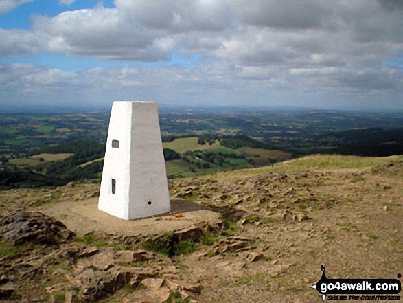
38. Malvern (Worcestershire Beacon)
425m (1,395ft)
Marilyn (93rd in England, 1152nd in GB)
OS Trig Point
Malvern (Worcestershire Beacon) is the highest point in the county of Worcestershire.
To walk, climb & bag Malvern (Worcestershire Beacon) use this easy-to-follow walk:
See the location of Malvern (Worcestershire Beacon) and walks up it on a google MapMalvern (Worcestershire Beacon) is on interactive maps:
OS Explorer (Orange Covers): 190
OS Landranger (Pink Covers): 150
A downloadable go4awalk.com PDF Peak Bagging Map featuring Malvern (Worcestershire Beacon) will be available soon. |
39. Bamford Moor
426m (1,398ft)
Bridget
To walk, climb & bag Bamford Moor use this easy-to-follow walk:
See the location of Bamford Moor and walks up it on a google MapBamford Moor is on interactive maps:
OS Explorer (Orange Covers): OL1
OS Landranger (Pink Covers): 110
Bamford Moor is on downloadable PDF you can Print or Save to your Phone:
|
40. Sir William Hill
429m (1,407ft)
Bridget
OS Trig Point
To walk, climb & bag Sir William Hill use any of these easy-to-follow walks:
See the location of Sir William Hill and walks up it on a google MapSir William Hill is on interactive maps:
OS Explorer (Orange Covers): OL24
OS Landranger (Pink Covers): 119
Sir William Hill is on downloadable PDF you can Print or Save to your Phone:
|
41. Back Tor (Hollins Cross)
438m (1,438ft)
Bridget
To walk, climb & bag Back Tor (Hollins Cross) use either of these easy-to-follow walks:
See the location of Back Tor (Hollins Cross) and walks up it on a google MapBack Tor (Hollins Cross) is on interactive maps:
OS Explorer (Orange Covers): OL1
OS Landranger (Pink Covers): 110
Back Tor (Hollins Cross) is on downloadable PDF you can Print or Save to your Phone:
|
42. Hownam Law
449m (1,474ft)
Marilyn (916th in Scotland, 1108th in GB)
OS Trig Point
To walk, climb & bag Hownam Law use this easy-to-follow walk:
See the location of Hownam Law and walks up it on a google MapHownam Law is on interactive maps:
OS Explorer (Orange Covers): OL16
OS Landranger (Pink Covers): 74
A downloadable go4awalk.com PDF Peak Bagging Map featuring Hownam Law will be available soon. |
43. Great Dove Stone Rocks
450m (1,477ft)
Bridget
To walk, climb & bag Great Dove Stone Rocks use any of these easy-to-follow walks:
See the location of Great Dove Stone Rocks and walks up it on a google MapGreat Dove Stone Rocks is on interactive maps:
OS Explorer (Orange Covers): OL1
OS Landranger (Pink Covers): 109
Great Dove Stone Rocks is on downloadable PDF you can Print or Save to your Phone:
|
44. Cat Bells (Catbells)
451m (1,480ft)
Wainwright (No. 189)
To walk, climb & bag Cat Bells (Catbells) use any of these easy-to-follow walks:
See the location of Cat Bells (Catbells) and walks up it on a google MapCat Bells (Catbells) is on interactive maps:
OS Explorer (Orange Covers): OL4
OS Landranger (Pink Covers): 89 and
90
Cat Bells (Catbells) is on downloadable PDF you can Print or Save to your Phone:
*Version including the walk routes marked on it that you need to follow to Walk all 214 Wainwrights in just 59 walks. |
45. Chinley Churn
451m (1,480ft)
Bridget
OS Trig Point
Please Note: The Trig Point on Chinley Churn is on private land and not accessible to the public.
To walk, climb & bag Chinley Churn use either of these easy-to-follow walks:
See the location of Chinley Churn and walks up it on a google MapChinley Churn is on interactive maps:
OS Explorer (Orange Covers): OL1
OS Landranger (Pink Covers): 109
|
46. Ashway Rocks
452m (1,483ft)
Bridget
To walk, climb & bag Ashway Rocks use any of these easy-to-follow walks:
See the location of Ashway Rocks and walks up it on a google MapAshway Rocks is on interactive maps:
OS Explorer (Orange Covers): OL1
OS Landranger (Pink Covers): 109
Ashway Rocks is on downloadable PDF you can Print or Save to your Phone:
|
47. Ben A'an
454m (1,490ft)
Bridget
To walk, climb & bag Ben A'an use either of these easy-to-follow walks:
See the location of Ben A'an and walks up it on a google MapBen A'an is on interactive maps:
OS Explorer (Orange Covers): OL46
OS Landranger (Pink Covers): 57
A downloadable go4awalk.com PDF Peak Bagging Map featuring Ben A'an will be available soon. |
48. High Neb (Stanage Edge)
458m (1,503ft)
Bridget
OS Trig Point
To walk, climb & bag High Neb (Stanage Edge) use this easy-to-follow walk:
See the location of High Neb (Stanage Edge) and walks up it on a google MapHigh Neb (Stanage Edge) is on interactive maps:
OS Explorer (Orange Covers): OL1
OS Landranger (Pink Covers): 110
High Neb (Stanage Edge) is on downloadable PDF you can Print or Save to your Phone:
|
49. Raven Crag (Thirlmere)
461m (1,513ft)
Wainwright (No. 186)
To walk, climb & bag Raven Crag (Thirlmere) use this easy-to-follow walk:
See the location of Raven Crag (Thirlmere) and walks up it on a google MapRaven Crag (Thirlmere) is on interactive maps:
OS Explorer (Orange Covers): OL4 and
OL5
OS Landranger (Pink Covers): 90
Raven Crag (Thirlmere) is on downloadable PDF you can Print or Save to your Phone:
*Version including the walk routes marked on it that you need to follow to Walk all 214 Wainwrights in just 59 walks. |
50. Winhill Pike (Win Hill)
462m (1,516ft)
Bridget
OS Trig Point
To walk, climb & bag Winhill Pike (Win Hill) use any of these easy-to-follow walks:
See the location of Winhill Pike (Win Hill) and walks up it on a google MapWinhill Pike (Win Hill) is on interactive maps:
OS Explorer (Orange Covers): OL1
OS Landranger (Pink Covers): 110
Winhill Pike (Win Hill) is on downloadable PDF you can Print or Save to your Phone:
|
51. Blackstone Edge
472m (1,549ft)
Bridget
OS Trig Point
To walk, climb & bag Blackstone Edge use this easy-to-follow walk:
See the location of Blackstone Edge and walks up it on a google MapBlackstone Edge is on interactive maps:
OS Explorer (Orange Covers): OL21
OS Landranger (Pink Covers): 110
Blackstone Edge is on downloadable PDF you can Print or Save to your Phone:
|
52. Whinfell Beacon
472m (1,549ft)
Bridget
To walk, climb & bag Whinfell Beacon use this easy-to-follow walk:
See the location of Whinfell Beacon and walks up it on a google MapWhinfell Beacon is on interactive maps:
OS Explorer (Orange Covers): OL7
OS Landranger (Pink Covers): 91
A downloadable go4awalk.com PDF Peak Bagging Map featuring Whinfell Beacon will be available soon. |
53. Fremington Edge
473m (1,552ft)
Bridget
To walk, climb & bag Fremington Edge use any of these easy-to-follow walks:
See the location of Fremington Edge and walks up it on a google MapFremington Edge is on interactive maps:
OS Explorer (Orange Covers): OL30
OS Landranger (Pink Covers): 92
Fremington Edge is on downloadable PDF you can Print or Save to your Phone:
|
54. Mount Famine
473m (1,552ft)
Bridget
To walk, climb & bag Mount Famine use any of these easy-to-follow walks:
See the location of Mount Famine and walks up it on a google MapMount Famine is on interactive maps:
OS Explorer (Orange Covers): OL1
OS Landranger (Pink Covers): 110
Mount Famine is on downloadable PDF you can Print or Save to your Phone:
|
55. Lose Hill (Ward's Piece)
476m (1,562ft)
Bridget
To walk, climb & bag Lose Hill (Ward's Piece) use either of these easy-to-follow walks:
See the location of Lose Hill (Ward's Piece) and walks up it on a google MapLose Hill (Ward's Piece) is on interactive maps:
OS Explorer (Orange Covers): OL1
OS Landranger (Pink Covers): 110
Lose Hill (Ward's Piece) is on downloadable PDF you can Print or Save to your Phone:
|
56. Addlebrough
477m (1,565ft)
Bridget
OS Trig Point
To walk, climb & bag Addlebrough use any of these easy-to-follow walks:
See the location of Addlebrough and walks up it on a google MapAddlebrough is on interactive maps:
OS Explorer (Orange Covers): OL30
OS Landranger (Pink Covers): 98
A downloadable go4awalk.com PDF Peak Bagging Map featuring Addlebrough will be available soon. |
57. Dufton Pike
481m (1,579ft)
Marilyn (81st in England, 1025th in GB)
To walk, climb & bag Dufton Pike use either of these easy-to-follow walks:
See the location of Dufton Pike and walks up it on a google MapDufton Pike is on interactive maps:
OS Explorer (Orange Covers): OL19
OS Landranger (Pink Covers): 91
Dufton Pike is on downloadable PDF you can Print or Save to your Phone:
|
58. Gowbarrow Fell (Airy Crag)
481m (1,579ft)
Wainwright (No. 181)
OS Trig Point
To walk, climb & bag Gowbarrow Fell (Airy Crag) use either of these easy-to-follow walks:
See the location of Gowbarrow Fell (Airy Crag) and walks up it on a google MapGowbarrow Fell (Airy Crag) is on interactive maps:
OS Explorer (Orange Covers): OL5
OS Landranger (Pink Covers): 90
Gowbarrow Fell (Airy Crag) is on downloadable PDF you can Print or Save to your Phone:
*Version including the walk routes marked on it that you need to follow to Walk all 214 Wainwrights in just 59 walks. |
59. Mabbin Crag
482m (1,581ft)
Bridget
To walk, climb & bag Mabbin Crag use this easy-to-follow walk:
See the location of Mabbin Crag and walks up it on a google MapMabbin Crag is on interactive maps:
OS Explorer (Orange Covers): OL7
OS Landranger (Pink Covers): 90
A downloadable go4awalk.com PDF Peak Bagging Map featuring Mabbin Crag will be available soon. |
60. Wansfell Pike
482m (1,582ft)
Bridget
To walk, climb & bag Wansfell Pike use any of these easy-to-follow walks:
See the location of Wansfell Pike and walks up it on a google MapWansfell Pike is on interactive maps:
OS Explorer (Orange Covers): OL7
OS Landranger (Pink Covers): 90
Wansfell Pike is on downloadable PDF you can Print or Save to your Phone:
*Version including the walk routes marked on it that you need to follow to Walk all 214 Wainwrights in just 59 walks. |
61. Skirrid Fawr (Ysgyryd Fawr)
486m (1,595ft)
Marilyn (87th in Wales, 1015th in GB)
OS Trig Point
To walk, climb & bag Skirrid Fawr (Ysgyryd Fawr) use this easy-to-follow walk:
See the location of Skirrid Fawr (Ysgyryd Fawr) and walks up it on a google MapSkirrid Fawr (Ysgyryd Fawr) is on interactive maps:
OS Explorer (Orange Covers): OL13
OS Landranger (Pink Covers): 161
Skirrid Fawr (Ysgyryd Fawr) is on downloadable PDF you can Print or Save to your Phone:
|
62. Calver Hill
487m (1,598ft)
Bridget
OS Trig Point
To walk, climb & bag Calver Hill use this easy-to-follow walk:
See the location of Calver Hill and walks up it on a google MapCalver Hill is on interactive maps:
OS Explorer (Orange Covers): OL30
OS Landranger (Pink Covers): 92
Calver Hill is on downloadable PDF you can Print or Save to your Phone:
|
63. Dod Hill (Teviothead)
495m (1,625ft)
Bridget
To walk, climb & bag Dod Hill (Teviothead) use either of these easy-to-follow walks:
See the location of Dod Hill (Teviothead) and walks up it on a google MapDod Hill (Teviothead) is on interactive maps:
OS Explorer (Orange Covers): 323 and
331
OS Landranger (Pink Covers): 79
A downloadable go4awalk.com PDF Peak Bagging Map featuring Dod Hill (Teviothead) will be available soon. |
64. Kisdon
499m (1,638ft)
Marilyn (79th in England, 986th in GB)
To walk, climb & bag Kisdon use this easy-to-follow walk:
See the location of Kisdon and walks up it on a google MapKisdon is on interactive maps:
OS Explorer (Orange Covers): OL30
OS Landranger (Pink Covers): 98
Kisdon is on downloadable PDF you can Print or Save to your Phone:
|
65. Pike Fell
499m (1,638ft)
Bridget
To walk, climb & bag Pike Fell use either of these easy-to-follow walks:
See the location of Pike Fell and walks up it on a google MapPike Fell is on interactive maps:
OS Explorer (Orange Covers): 323 and
324
OS Landranger (Pink Covers): 79
A downloadable go4awalk.com PDF Peak Bagging Map featuring Pike Fell will be available soon. |
66. Dodd (Skiddaw)
502m (1,647ft)
Wainwright (No. 174)
Dewey (175th in England, 408th in England & Wales)
To walk, climb & bag Dodd (Skiddaw) use any of these easy-to-follow walks:
See the location of Dodd (Skiddaw) and walks up it on a google MapDodd (Skiddaw) is on interactive maps:
OS Explorer (Orange Covers): OL4
OS Landranger (Pink Covers): 89 and
90
Dodd (Skiddaw) is on downloadable PDF you can Print or Save to your Phone:
*Version including the walk routes marked on it that you need to follow to Walk all 214 Wainwrights in just 59 walks. |
67. Mynydd Rhyd-galed
502m (1,647ft)
Dewey (234th in Wales, 410th in England & Wales)
To walk, climb & bag Mynydd Rhyd-galed use this easy-to-follow walk:
See the location of Mynydd Rhyd-galed and walks up it on a google MapMynydd Rhyd-galed is on interactive maps:
OS Explorer (Orange Covers): OL23
OS Landranger (Pink Covers): 135
Mynydd Rhyd-galed is on downloadable PDF you can Print or Save to your Phone:
|
68. The Roaches
505m (1,657ft)
Dewey (173rd in England, 399th in England & Wales)
OS Trig Point
To walk, climb & bag The Roaches use any of these easy-to-follow walks:
See the location of The Roaches and walks up it on a google MapThe Roaches is on interactive maps:
OS Explorer (Orange Covers): OL24
OS Landranger (Pink Covers): 119
The Roaches is on downloadable PDF you can Print or Save to your Phone:
|
69. Shutlingsloe
506m (1,660ft)
Dewey (170th in England, 394th in England & Wales)
OS Trig Point
To walk, climb & bag Shutlingsloe use either of these easy-to-follow walks:
See the location of Shutlingsloe and walks up it on a google MapShutlingsloe is on interactive maps:
OS Explorer (Orange Covers): OL24
OS Landranger (Pink Covers): 118
Shutlingsloe is on downloadable PDF you can Print or Save to your Phone:
|
70. Cracoe Fell
507m (1,663ft)
Dewey (168th in England, 390th in England & Wales)
Marilyn (76th in England, 977th in GB)
OS Trig Point
To walk, climb & bag Cracoe Fell use this easy-to-follow walk:
See the location of Cracoe Fell and walks up it on a google MapCracoe Fell is on interactive maps:
OS Explorer (Orange Covers): OL2
OS Landranger (Pink Covers): 103
Cracoe Fell is on downloadable PDF you can Print or Save to your Phone:
|
71. Wether Law (Teviothead)
509m (1,671ft)
Bridget
To walk, climb & bag Wether Law (Teviothead) use either of these easy-to-follow walks:
See the location of Wether Law (Teviothead) and walks up it on a google MapWether Law (Teviothead) is on interactive maps:
OS Explorer (Orange Covers): 331
OS Landranger (Pink Covers): 79
A downloadable go4awalk.com PDF Peak Bagging Map featuring Wether Law (Teviothead) will be available soon. |
72. Paddy's Pole (Fair Snape Fell)
510m (1,673ft)
Bridget
OS Trig Point
To walk, climb & bag Paddy's Pole (Fair Snape Fell) use any of these easy-to-follow walks:
See the location of Paddy's Pole (Fair Snape Fell) and walks up it on a google MapPaddy's Pole (Fair Snape Fell) is on interactive maps:
OS Explorer (Orange Covers): OL41
OS Landranger (Pink Covers): 102
Paddy's Pole (Fair Snape Fell) is on downloadable PDF you can Print or Save to your Phone:
|
73. Whoap
511m (1,677ft)
Bridget
To walk, climb & bag Whoap use any of these easy-to-follow walks:
See the location of Whoap and walks up it on a google MapWhoap is on interactive maps:
OS Explorer (Orange Covers): OL4
OS Landranger (Pink Covers): 89
Whoap is on downloadable PDF you can Print or Save to your Phone:
*Version including the walk routes marked on it that you need to follow to Walk all 214 Wainwrights in just 59 walks. |
74. Oliver Hill
513m (1,684ft)
Dewey (154th in England, 354th in England & Wales)
To walk, climb & bag Oliver Hill use any of these easy-to-follow walks:
See the location of Oliver Hill and walks up it on a google MapOliver Hill is on interactive maps:
OS Explorer (Orange Covers): OL24
OS Landranger (Pink Covers): 119
Oliver Hill is on downloadable PDF you can Print or Save to your Phone:
|
75. Pole Bank (Long Mynd)
516m (1,693ft)
Dewey (149th in England, 341st in England & Wales)
Marilyn (74th in England, 948th in GB)
OS Trig Point
To walk, climb & bag Pole Bank (Long Mynd) use this easy-to-follow walk:
See the location of Pole Bank (Long Mynd) and walks up it on a google MapPole Bank (Long Mynd) is on interactive maps:
OS Explorer (Orange Covers): 217
OS Landranger (Pink Covers): 137
Pole Bank (Long Mynd) is on downloadable PDF you can Print or Save to your Phone:
|
76. Broadhope Hill
517m (1,696ft)
Dewey (146th in England, 335th in England & Wales)
To walk, climb & bag Broadhope Hill use this easy-to-follow walk:
See the location of Broadhope Hill and walks up it on a google MapBroadhope Hill is on interactive maps:
OS Explorer (Orange Covers): OL16
OS Landranger (Pink Covers): 74 and
75
A downloadable go4awalk.com PDF Peak Bagging Map featuring Broadhope Hill will be available soon. |
77. Mam Tor
517m (1,696ft)
Dewey (145th in England, 334th in England & Wales)
OS Trig Point
To walk, climb & bag Mam Tor use any of these easy-to-follow walks:
See the location of Mam Tor and walks up it on a google MapMam Tor is on interactive maps:
OS Explorer (Orange Covers): OL1
OS Landranger (Pink Covers): 110
Mam Tor is on downloadable PDF you can Print or Save to your Phone:
|
78. North Hessary Tor
517m (1,696ft)
Dewey (147th in England, 336th in England & Wales)
OS Trig Point
To walk, climb & bag North Hessary Tor use either of these easy-to-follow walks:
See the location of North Hessary Tor and walks up it on a google MapNorth Hessary Tor is on interactive maps:
OS Explorer (Orange Covers): OL28
OS Landranger (Pink Covers): 191
North Hessary Tor is on downloadable PDF you can Print or Save to your Phone:
|
79. Brownber Hill
519m (1,703ft)
Dewey (141st in England, 322nd in England & Wales)
To walk, climb & bag Brownber Hill use either of these easy-to-follow walks:
See the location of Brownber Hill and walks up it on a google MapBrownber Hill is on interactive maps:
OS Explorer (Orange Covers): OL19
OS Landranger (Pink Covers): 91
Brownber Hill is on downloadable PDF you can Print or Save to your Phone:
|
80. Dunkery Beacon
519m (1,703ft)
Dewey (140th in England, 319th in England & Wales)
Marilyn (72nd in England, 940th in GB)
OS Trig Point
Dunkery Beacon is the highest point in the county of Somerset.
To walk, climb & bag Dunkery Beacon use either of these easy-to-follow walks:
See the location of Dunkery Beacon and walks up it on a google MapDunkery Beacon is on interactive maps:
OS Explorer (Orange Covers): OL9
OS Landranger (Pink Covers): 181
A downloadable go4awalk.com PDF Peak Bagging Map featuring Dunkery Beacon will be available soon. |
81. Crookstone Knoll (Kinder Scout)
521m (1,710ft)
Bridget
To walk, climb & bag Crookstone Knoll (Kinder Scout) use this easy-to-follow walk:
See the location of Crookstone Knoll (Kinder Scout) and walks up it on a google MapCrookstone Knoll (Kinder Scout) is on interactive maps:
OS Explorer (Orange Covers): OL1
OS Landranger (Pink Covers): 110
Crookstone Knoll (Kinder Scout) is on downloadable PDF you can Print or Save to your Phone:
|
82. High Snockrigg
526m (1,726ft)
Dewey (121st in England, 282nd in England & Wales)
To walk, climb & bag High Snockrigg use either of these easy-to-follow walks:
See the location of High Snockrigg and walks up it on a google MapHigh Snockrigg is on interactive maps:
OS Explorer (Orange Covers): OL4
OS Landranger (Pink Covers): 89 and
90
High Snockrigg is on downloadable PDF you can Print or Save to your Phone:
*Version including the walk routes marked on it that you need to follow to Walk all 214 Wainwrights in just 59 walks. |
83. Steeperton Tor
532m (1,746ft)
Dewey (110th in England, 258th in England & Wales)
To walk, climb & bag Steeperton Tor use either of these easy-to-follow walks:
See the location of Steeperton Tor and walks up it on a google MapSteeperton Tor is on interactive maps:
OS Explorer (Orange Covers): OL28
OS Landranger (Pink Covers): 191
Steeperton Tor is on downloadable PDF you can Print or Save to your Phone:
|
84. Titterstone Clee Hill
533m (1,749ft)
Dewey (106th in England, 247th in England & Wales)
Marilyn (69th in England, 912th in GB)
OS Trig Point
To walk, climb & bag Titterstone Clee Hill use this easy-to-follow walk:
See the location of Titterstone Clee Hill and walks up it on a google MapTitterstone Clee Hill is on interactive maps:
OS Explorer (Orange Covers): 217
OS Landranger (Pink Covers): 137 and
138
Titterstone Clee Hill is on downloadable PDF you can Print or Save to your Phone:
|
85. Castle Knott
536m (1,759ft)
Dewey (102nd in England, 237th in England & Wales)
To walk, climb & bag Castle Knott use this easy-to-follow walk:
See the location of Castle Knott and walks up it on a google MapCastle Knott is on interactive maps:
OS Explorer (Orange Covers): OL2
OS Landranger (Pink Covers): 97
Castle Knott is on downloadable PDF you can Print or Save to your Phone:
|
86. Ellson Fell
537m (1,762ft)
Marilyn (758th in Scotland, 900th in GB)
To walk, climb & bag Ellson Fell use either of these easy-to-follow walks:
See the location of Ellson Fell and walks up it on a google MapEllson Fell is on interactive maps:
OS Explorer (Orange Covers): 323
OS Landranger (Pink Covers): 79
A downloadable go4awalk.com PDF Peak Bagging Map featuring Ellson Fell will be available soon. |
87. Back Tor (Derwent Edge)
538m (1,766ft)
Dewey (96th in England, 219th in England & Wales)
OS Trig Point
To walk, climb & bag Back Tor (Derwent Edge) use any of these easy-to-follow walks:
See the location of Back Tor (Derwent Edge) and walks up it on a google MapBack Tor (Derwent Edge) is on interactive maps:
OS Explorer (Orange Covers): OL1
OS Landranger (Pink Covers): 110
Back Tor (Derwent Edge) is on downloadable PDF you can Print or Save to your Phone:
|
88. Great Mis Tor
539m (1,768ft)
Dewey (95th in England, 216th in England & Wales)
To walk, climb & bag Great Mis Tor use any of these easy-to-follow walks:
See the location of Great Mis Tor and walks up it on a google MapGreat Mis Tor is on interactive maps:
OS Explorer (Orange Covers): OL28
OS Landranger (Pink Covers): 191
Great Mis Tor is on downloadable PDF you can Print or Save to your Phone:
|
89. Cuns Fell
539m (1,769ft)
Dewey (94th in England, 215th in England & Wales)
To walk, climb & bag Cuns Fell use this easy-to-follow walk:
See the location of Cuns Fell and walks up it on a google MapCuns Fell is on interactive maps:
OS Explorer (Orange Covers): OL31
OS Landranger (Pink Covers): 91
Cuns Fell is on downloadable PDF you can Print or Save to your Phone:
|
90. Brown Clee Hill (Abdon Burf)
540m (1,772ft)
Dewey (93rd in England, 212th in England & Wales)
Marilyn (66th in England, 895th in GB)
OS Trig Point
Brown Clee Hill (Abdon Burf) is the highest point in the county of Shropshire
To walk, climb & bag Brown Clee Hill (Abdon Burf) use this easy-to-follow walk:
See the location of Brown Clee Hill (Abdon Burf) and walks up it on a google MapBrown Clee Hill (Abdon Burf) is on interactive maps:
OS Explorer (Orange Covers): 217
OS Landranger (Pink Covers): 137 and
138
Brown Clee Hill (Abdon Burf) is on downloadable PDF you can Print or Save to your Phone:
|
91. Outer Edge
541m (1,775ft)
Bridget
OS Trig Point
To walk, climb & bag Outer Edge use any of these easy-to-follow walks:
See the location of Outer Edge and walks up it on a google MapOuter Edge is on interactive maps:
OS Explorer (Orange Covers): OL1
OS Landranger (Pink Covers): 110
Outer Edge is on downloadable PDF you can Print or Save to your Phone:
|
92. Mill Hill (Ashop Head)
544m (1,785ft)
Dewey (86th in England, 197th in England & Wales)
To walk, climb & bag Mill Hill (Ashop Head) use any of these easy-to-follow walks:
See the location of Mill Hill (Ashop Head) and walks up it on a google MapMill Hill (Ashop Head) is on interactive maps:
OS Explorer (Orange Covers): OL1
OS Landranger (Pink Covers): 109
Mill Hill (Ashop Head) is on downloadable PDF you can Print or Save to your Phone:
|
93. Lord's Seat (Rushup Edge)
546m (1,791ft)
Dewey (80th in England, 184th in England & Wales)
To walk, climb & bag Lord's Seat (Rushup Edge) use any of these easy-to-follow walks:
See the location of Lord's Seat (Rushup Edge) and walks up it on a google MapLord's Seat (Rushup Edge) is on interactive maps:
OS Explorer (Orange Covers): OL1
OS Landranger (Pink Covers): 110
Lord's Seat (Rushup Edge) is on downloadable PDF you can Print or Save to your Phone:
|
94. Black Hag (Hethpool)
549m (1,801ft)
Dewey (73rd in England, 169th in England & Wales)
To walk, climb & bag Black Hag (Hethpool) use this easy-to-follow walk:
See the location of Black Hag (Hethpool) and walks up it on a google MapBlack Hag (Hethpool) is on interactive maps:
OS Explorer (Orange Covers): OL16
OS Landranger (Pink Covers): 74
A downloadable go4awalk.com PDF Peak Bagging Map featuring Black Hag (Hethpool) will be available soon. |
95. Crug Mawr
550m (1,805ft)
Bridget
OS Trig Point
To walk, climb & bag Crug Mawr use this easy-to-follow walk:
See the location of Crug Mawr and walks up it on a google MapCrug Mawr is on interactive maps:
OS Explorer (Orange Covers): OL13
OS Landranger (Pink Covers): 161
Crug Mawr is on downloadable PDF you can Print or Save to your Phone:
|
96. Moel Famau
555m (1,821ft)
Dewey (79th in Wales, 141st in England & Wales)
Marilyn (66th in Wales, 860th in GB)
OS Trig Point
Moel Famau is the highest point in the county of Flintshire.
To walk, climb & bag Moel Famau use this easy-to-follow walk:
See the location of Moel Famau and walks up it on a google MapMoel Famau is on interactive maps:
OS Explorer (Orange Covers): 265
OS Landranger (Pink Covers): 116
A downloadable go4awalk.com PDF Peak Bagging Map featuring Moel Famau will be available soon. |
97. Aye Gill Pike
556m (1,824ft)
Dewey (60th in England, 139th in England & Wales)
Marilyn (61st in England, 856th in GB)
OS Trig Point
To walk, climb & bag Aye Gill Pike use either of these easy-to-follow walks:
See the location of Aye Gill Pike and walks up it on a google MapAye Gill Pike is on interactive maps:
OS Explorer (Orange Covers): OL2
OS Landranger (Pink Covers): 98
Aye Gill Pike is on downloadable PDF you can Print or Save to your Phone:
|
98. Pendle Hill (Beacon or Big End)
557m (1,828ft)
Dewey (58th in England, 134th in England & Wales)
Marilyn (60th in England, 854th in GB)
OS Trig Point
To walk, climb & bag Pendle Hill (Beacon or Big End) use any of these easy-to-follow walks:
See the location of Pendle Hill (Beacon or Big End) and walks up it on a google MapPendle Hill (Beacon or Big End) is on interactive maps:
OS Explorer (Orange Covers): OL21 and
OL41
OS Landranger (Pink Covers): 103
Pendle Hill (Beacon or Big End) is on downloadable PDF you can Print or Save to your Phone:
|
99. Shining Tor
559m (1,835ft)
Dewey (54th in England, 124th in England & Wales)
Marilyn (59th in England, 851st in GB)
OS Trig Point
Shining Tor is the highest point in the county of Cheshire.
To walk, climb & bag Shining Tor use any of these easy-to-follow walks:
See the location of Shining Tor and walks up it on a google MapShining Tor is on interactive maps:
OS Explorer (Orange Covers): OL24
OS Landranger (Pink Covers): 118
Shining Tor is on downloadable PDF you can Print or Save to your Phone:
|
100. Pant y Creigiau
565m (1,854ft)
Dewey (59th in Wales, 106th in England & Wales)
OS Trig Point
To walk, climb & bag Pant y Creigiau use any of these easy-to-follow walks:
See the location of Pant y Creigiau and walks up it on a google MapPant y Creigiau is on interactive maps:
OS Explorer (Orange Covers): OL12
OS Landranger (Pink Covers): 160
Pant y Creigiau is on downloadable PDF you can Print or Save to your Phone:
|
101. Roan Fell
568m (1,864ft)
Marilyn (706th in Scotland, 827th in GB)
To walk, climb & bag Roan Fell use either of these easy-to-follow walks:
See the location of Roan Fell and walks up it on a google MapRoan Fell is on interactive maps:
OS Explorer (Orange Covers): 324
OS Landranger (Pink Covers): 79
A downloadable go4awalk.com PDF Peak Bagging Map featuring Roan Fell will be available soon. |
102. Low Kop
572m (1,877ft)
Bridget
To walk, climb & bag Low Kop use this easy-to-follow walk:
See the location of Low Kop and walks up it on a google MapLow Kop is on interactive maps:
OS Explorer (Orange Covers): OL5
OS Landranger (Pink Covers): 90
Low Kop is on downloadable PDF you can Print or Save to your Phone:
*Version including the walk routes marked on it that you need to follow to Walk all 214 Wainwrights in just 59 walks. |
103. Kensgriff
574m (1,883ft)
Dewey (36th in England, 80th in England & Wales)
To walk, climb & bag Kensgriff use either of these easy-to-follow walks:
See the location of Kensgriff and walks up it on a google MapKensgriff is on interactive maps:
OS Explorer (Orange Covers): OL19
OS Landranger (Pink Covers): 98
Kensgriff is on downloadable PDF you can Print or Save to your Phone:
|
104. Sugar Loaf (Y Fal)
596m (1,956ft)
Dewey (18th in Wales, 31st in England & Wales)
Marilyn (57th in Wales, 776th in GB)
OS Trig Point
We hope to have walks that climb & bag Sugar Loaf (Y Fal) very soon
See the location of Sugar Loaf (Y Fal) and walks up it on a google MapSugar Loaf (Y Fal) is on interactive maps:
OS Explorer (Orange Covers): OL13
OS Landranger (Pink Covers): 161
Sugar Loaf (Y Fal) is on downloadable PDF you can Print or Save to your Phone:
|
105. Tudhope Hill
599m (1,966ft)
Bridget
OS Trig Point
To walk, climb & bag Tudhope Hill use either of these easy-to-follow walks:
See the location of Tudhope Hill and walks up it on a google MapTudhope Hill is on interactive maps:
OS Explorer (Orange Covers): 324
OS Landranger (Pink Covers): 79
A downloadable go4awalk.com PDF Peak Bagging Map featuring Tudhope Hill will be available soon. |
View these 106 Mountains, Peaks, Tops and Hills:
Is there a Mountain, Peak, Top or Hill missing from the above google map or list?
Let us know an we will add it to our database.