   |
Vital Statistics:
| Length: | 11¼mls (18km) |
| Ascent: | 2,206ft (672m) |
| Time: | 6¼hrs |
| Grade: |  |
Route outline for walk c419:
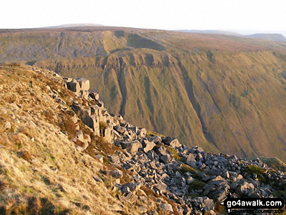
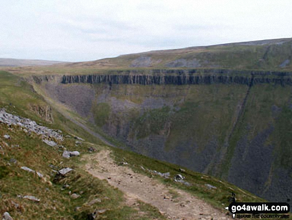
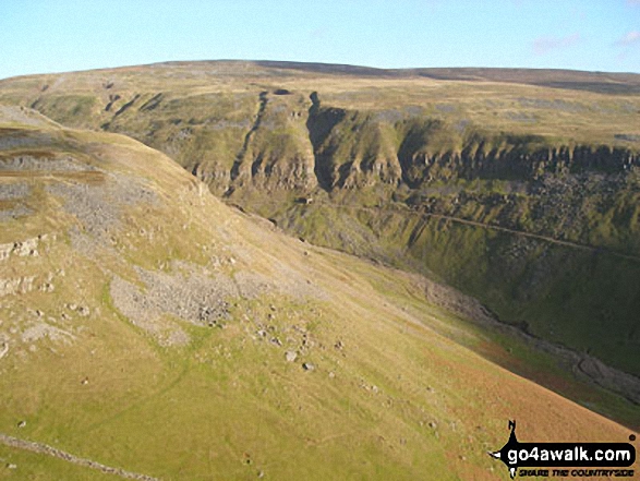
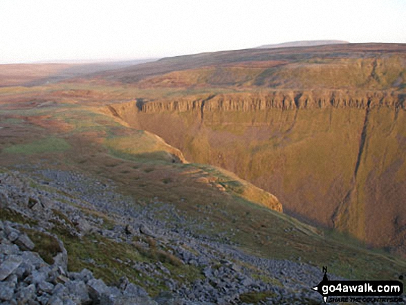
Dufton - Eller Beck - Pusgill House - Great Rundale Beck - Bluethwaite Hill - Threlkeld Side - Brownber Hill - Tossgill Edge - Great Rundale Tarn - Backstone Edge (Dufton Fell) - Narrowgate Beacon - Little Rundale Beck - High Cup Nick - High Cup - The Pennine Way - Narrow Gate Path - Peeping Hill - Bow Hall - Town Head - Dufton
Peaks, Summits and Tops reached on this walk:
 0 English Mountains |
 0 Wainwrights |
 1 English Nuttall |
 1 English Dewey |
 0 Wainwright Outlying Fells |
 0 Marilyns |
 0 Bridgets |
Peak Bagging Statistics for this walk:
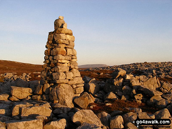
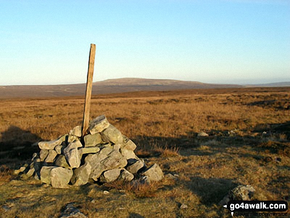
The highest point of this walk is Backstone Edge (Dufton Fell) at 699m (2294ft). Backstone Edge (Dufton Fell) is also known as an English Nuttall (135th highest in England, 222nd highest in England & Wales). The summit of Backstone Edge (Dufton Fell) is marked by stone hut with a flat roof 200m NNE of a Ordnance Survey Trig Point.
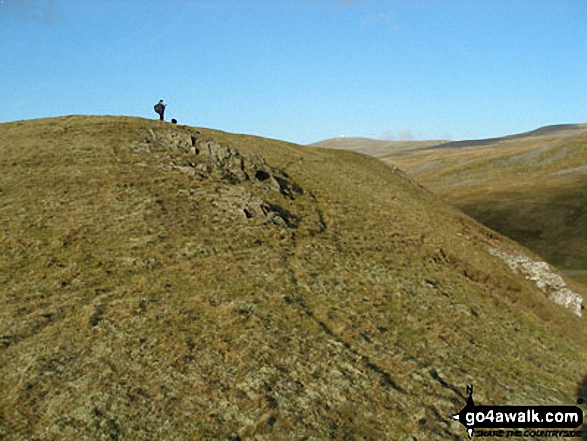
Completing this walk will also take you to the top of Brownber Hill at 519m (1703ft). Brownber Hill is also known as an English Dewey (141st highest in England, 322nd in England & Wales)
National Trails & Long Paths included on this walk:
Part of this walk follows a section of The Pennine Way, a 404km (251 miles) linear footpath connecting Edale in Derbyshire, England with Kirk Yetholm in The Borders, Scotland. The Pennine Way is waymarked by a National Trail Acorn. For more walks that include a section of this trail see The Pennine Way.
You can find this walk and other nearby walks on these unique free-to-access Interactive Walk Planning Maps:
1:25,000 scale OS Explorer Map (orange/yellow covers):
1:50,000 scale OS Landranger Map (pink/magenta covers):
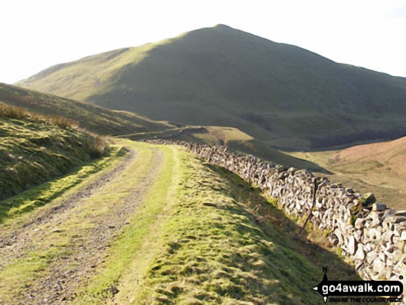
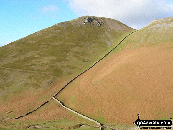
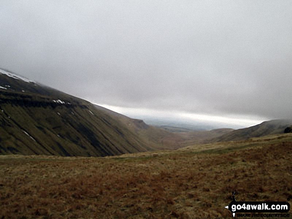
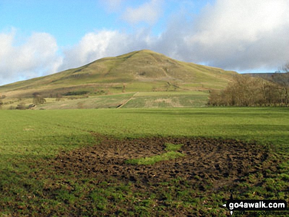
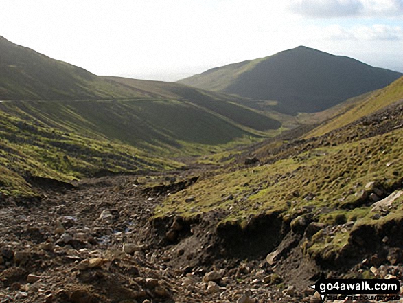
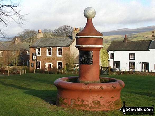
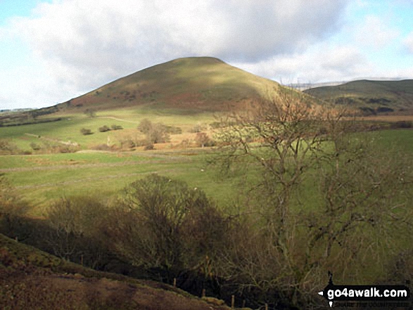
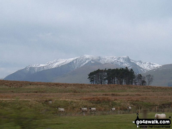
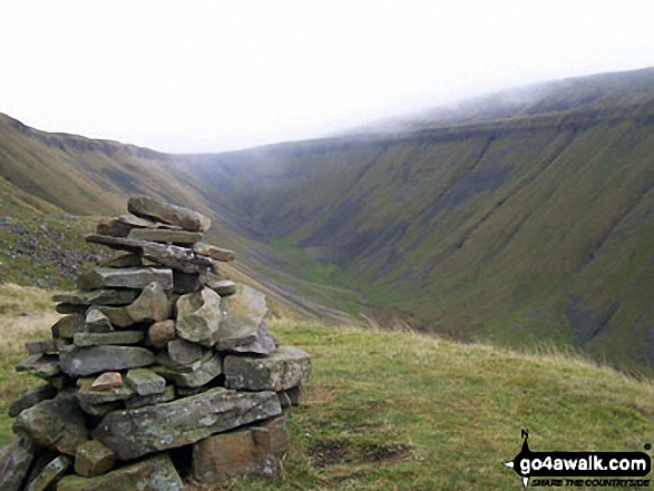
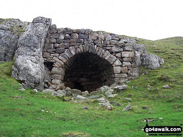
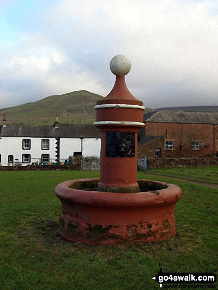
Some Photos and Pictures from Walk c419 Brownber Hill, Backstone Edge and High Cup Nick from Dufton
In no particular order . . .
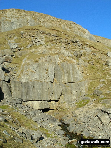
Stream emerging from a mine entrance on the lower slopes of High Scald Fell, Threlkeld Side
. . . load all 60 walk photos from Walk c419 Brownber Hill, Backstone Edge and High Cup Nick from Dufton
Send us your photographs and pictures from your walks and hikes
We would love to see your photographs and pictures from walk c419 Brownber Hill, Backstone Edge and High Cup Nick from Dufton. Send them in to us as email attachments (configured for any computer) along with your name and where the picture was taken to:
and we shall do our best to publish them.
(Guide Resolution = 300dpi. At least = 660 pixels (wide) x 440 pixels (high).)

You can also submit photos from walk c419 Brownber Hill, Backstone Edge and High Cup Nick from Dufton via our Facebook Page.
NB. Please indicate where each photo was taken.


