
![]()
Lang How
414m (1359ft)
The Central Fells, The Lake District, Cumbria, England

Not familiar with this top?
You can walk/hike to the top of Lang How by using any of these 3 easy‑to‑follow route maps:
Walk c105 Lang How and Silver How from Grasmere
Fine Views of Grasmere
   |
|---|
Vital Statistics:
| Length: | 4.5ml (7.5km) |
|---|---|
| Ascent: | 1,296ft (395m) |
| Time: | 3 hrs |
| Grade: |  (Moderate) (Moderate) |

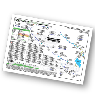
Walk c144 Sergeant Man from Grasmere
Good ridge walk above Grasmere
|
|---|
Vital Statistics:
| Length: | 10ml (16km) |
|---|---|
| Ascent: | 2,936ft (895m) |
| Time: | 6½ hrs |
| Grade: |  (Hard) (Hard) |
Route Summary:
Grasmere - Sour Milk Gill - Sourmilk Gill Falls - Tarn Crag (Easedale) - Sergeant Man - Blea Rigg - Great Castle How - Little Castle How - Raw Pike - Swinescar Pike - Lang How - Silver How - Spedding Crag - Dow Bank - Huntingstile Crag - Grasmere
Walk c428 The Langdale Pikes, High Raise and The Easedale Fells from Grasmere
Long high level round
|
|---|
Vital Statistics:
| Length: | 13.75ml (22km) |
|---|---|
| Ascent: | 3,991ft (1,216m) |
| Time: | 9 hrs |
| Grade: |  (Hard) (Hard) |

Route Summary:
Grasmere - Allan Bank - Wray Gill - Silver How - Lang How - Sinescar Pike - Little Castle How - Great Castle How - Blea Rigg - Sergeant Man - Thunacar Knott - Pavey Ark - Harrison Stickle - Loft Crag - Pike of Stickle (Pike O' Stickle) - High Raise (Langdale) - Codale Head - Tarn Crag (Easedale) - Far Easedale Gill - Sourmilk Falls - Far Easedale Beck - Goody Bridge - Grasmere
See Lang How and the surrounding tops on our free-to-access 'Google Style' Peak Bagging Maps:
The Central Fells of The Lake District National Park
Less data - quicker to download
The Whole of The Lake District National Park
More data - might take a little longer to download
See Lang How and the surrounding tops on our unique, downloadable, PDF Peak Bagging Maps:

NB: Whether you print off a copy or download it to your phone, these PDF Peak Baggers' Maps might prove incredibly useful when your are up there on the tops and you cannot get a phone signal.
*This version is marked with the walk routes you need to follow to Walk all 214 Wainwrights in just 59 walks.
You can find Lang How & all the walks that climb it on these unique free-to-access Interactive Walk Planning Maps:
1:25,000 scale OS Explorer Map (orange/yellow covers):
1:50,000 scale OS Landranger Map (pink/magenta covers):
 Fellow go4awalkers who have already walked, climbed, scaled, summited, hiked & bagged Lang How
Paul Roddam walked up Lang How on February 4th, 2023 [from/via/route] Grasmere [with] Bri and Barber [weather] Cloudy but fairly dry with decent visibility
Damian Gourlay climbed it on June 22nd, 2021 [from/via/route] Grassmere walk c144 tarn cragg [with] Lee Grist [weather] Sunny - Great walk real leg burner, showing my age. Hope this gets easier
John Tippins bagged it on September 22nd, 2020 [from/via/route] Grasmere [weather] Overcast, low cloud for most of the day, drizzle/rain all day.
Adrian Howard hiked Lang How on June 21st, 2019 [from/via/route] From Elterwater, on the way to Silver How.
Lucy Perchard summited on May 14th, 2018 [from/via/route] From Grasmere before going onto Silver How, Dow Bank & Looughrigg Fell [with] Tony [weather] Lovely - Wayfinding a little tricky
To add (or remove) your name and experiences on this page - Log On and edit your Personal Mountain Bagging Record
. . . [see more walk reports]
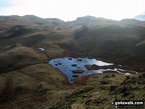
More Photographs & Pictures of views from, on, or of, Lang How

*The Coniston Fells, The Langdale Pikes, High Raise, The Helvellyn Ridge, Fairfield, Seat Sandal, Great Rigg, Heron Pike and finally Loughrigg Fell from Lang How

Blea Rigg, Castle How, Lang How and Silver How (far left) Great Langdale, Windermere and Elter Water (left), Lingmoor Fell and Side Pike (centre left), Blea Tarn and Little Langdale (centre right), Pike of Blisco (Pike o' Blisco) right and Crickle Crags (far right) from the summit of Harrison Stickle, The Langdale Pikes
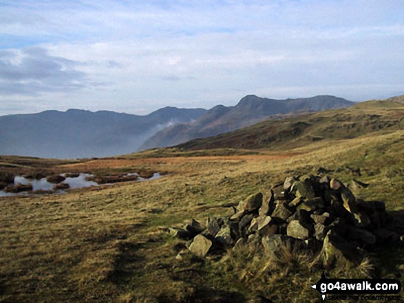
Great Langdale with Blea Rigg, Lang How and Silver How (left) and Lingmoor Fell (right) from the foot of Oxendale
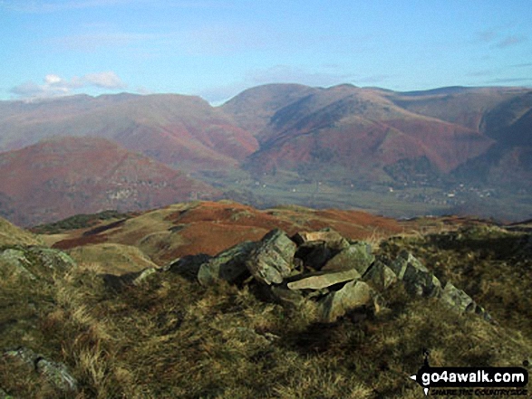
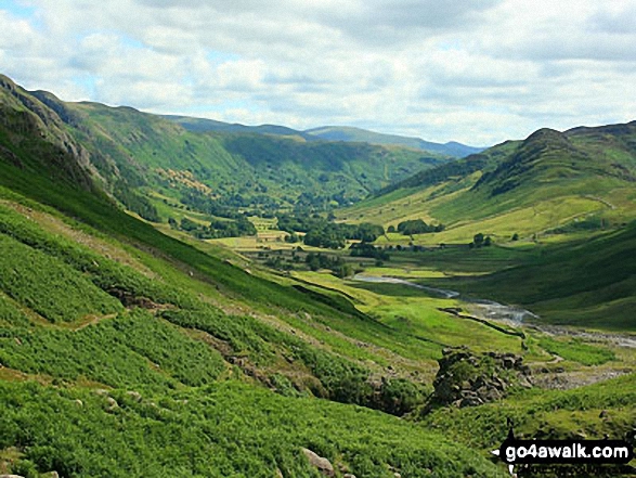
Dunmail Raise and Grasmere Village in the valley with Helvellyn (left), Fairfield (centre) and Seat Scandal, Great Rigg and Heron Pike beyond from Lang How

Grasmere, Silver How, Lang How, Blea Rigg, Easedale Tarn, The LAngdale Pikes, Codale Head, Gibson Knott and Calf Crag from Helm Crag summit cairn
Send us your photographs and pictures on, of, or from Lang How
If you would like to add your walk photographs and pictures to this page, please send them as email attachments (configured for any computer) along with your name to:
and we shall do our best to publish them.
(Guide Resolution = 300dpi. At least = 660pixels (wide) x 440 pixels (high).)

You can also submit photos via our Facebook Page.
NB. Please indicate where each photo was taken and whether you wish us to credit your photos with a Username or your First Name/Last Name.


