   |
Vital Statistics:
| Length: | 4¾mls (7.5km) |
| Ascent: | 1,221ft (372m) |
| Time: | 3hrs |
| Grade: |  |
Route outline for walk l112:
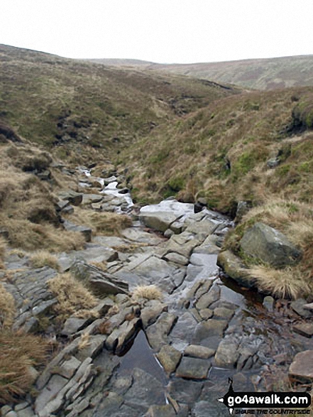
Barley - Lower Ogden Reservoir - The Pendle Way - Upper Ogden Reservoir - Boar Clough - Pendle Moor - Barley Moor - Pendle Hill (Beacon or Big End) - Pendle House - Ing Head Farm - Ing Ends - Barley,.
Points of Interest/Notes on this walk:
In 1612 ten women & two men who lived in the area surrounding Pendle Hill were charged with the murders of ten people by the use of witchcraft. During this series of trials, that has become known as the Lancashire witch trials, ten were found guilty & executed by hanging; one was found not guilty & one died in prison before being tried.
Peaks, Summits and Tops reached on this walk:
 0 English Mountains |
 0 Wainwrights |
 0 English Nuttalls |
 1 English Dewey |
 0 Wainwright Outlying Fells |
 1 Marilyn |
 0 Bridgets |
Peak Bagging Statistics for this walk:
The highest point of this walk is Pendle Hill (Beacon or Big End) at 557m (1828ft). Pendle Hill (Beacon or Big End) is also known as an English Dewey (58th highest in England, 134th in England & Wales) and an English Marilyn (60th highest in England, 854th highest in the UK). The summit of Pendle Hill (Beacon or Big End) is marked by an Ordnance Survey Trig Point.
National Trails & Long Paths included on this walk:
Part of this walk follows a section of The Pendle Way, a 72km (45 miles) circular footpath starting and finishing in Barrowford in Lancashire, England. The Pendle Way is waymarked by a black witch motif. For more walks that include a section of this trail see The Pendle Way.
You can find this walk and other nearby walks on these unique free-to-access Interactive Walk Planning Maps:
1:25,000 scale OS Explorer Maps (orange/yellow covers):
1:50,000 scale OS Landranger Map (pink/magenta covers):
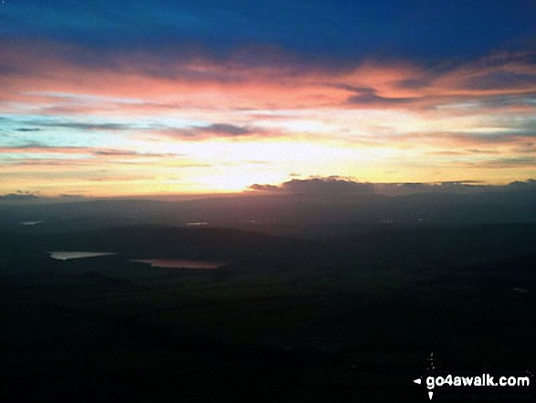
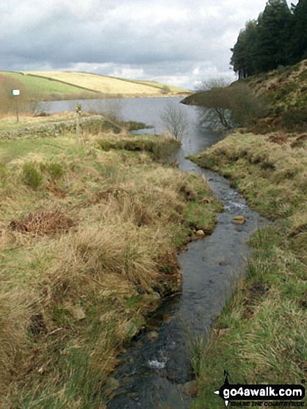
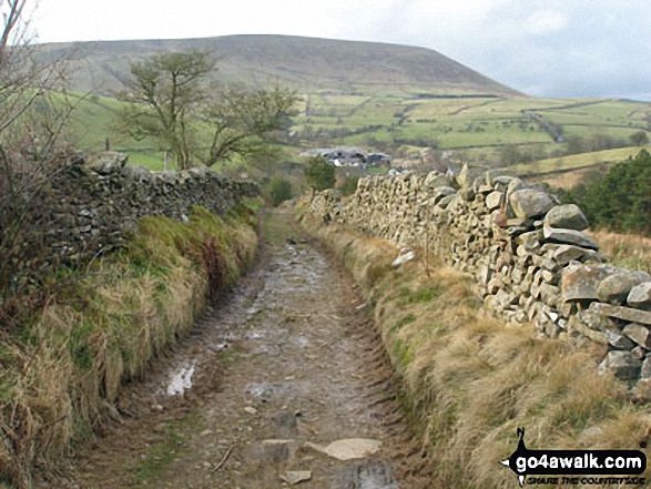
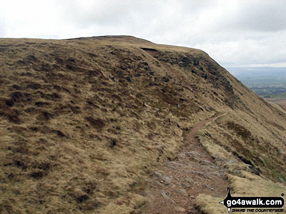
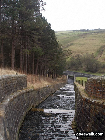
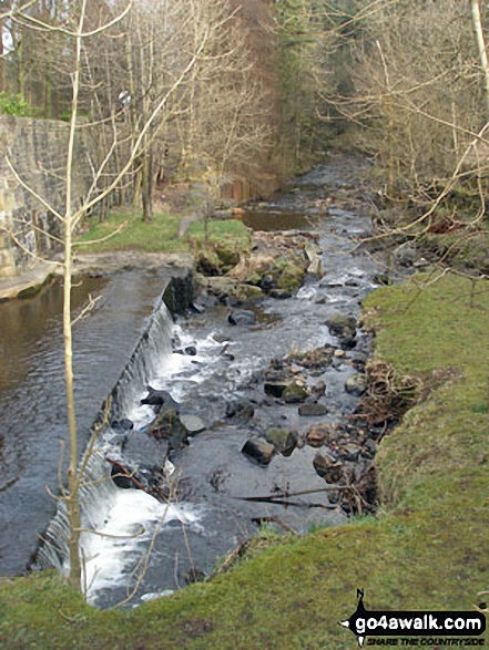
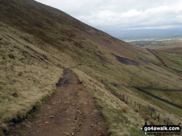
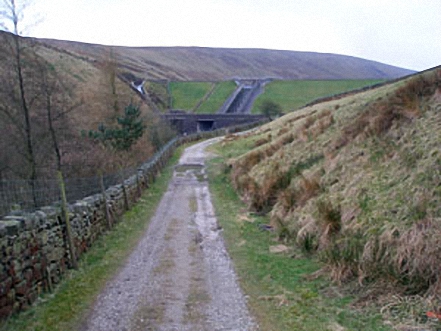
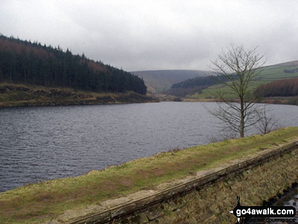
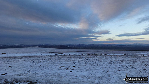
Some Photos and Pictures from Walk l112 Pendle Hill via Boar Clough from Barley
In no particular order . . .
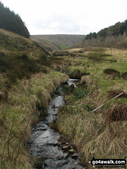
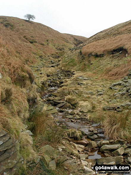
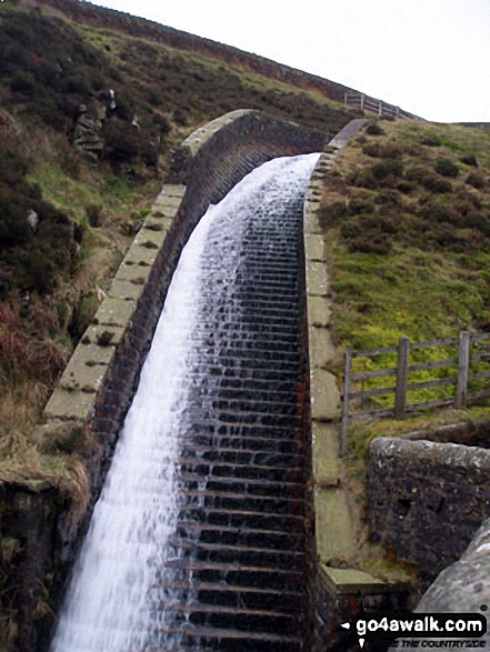
On the Pendle Way crossing the Inlet stream coming from Upper Ogden Reservoir
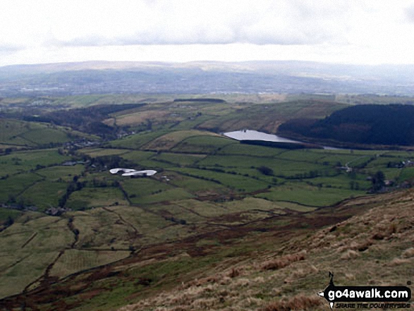
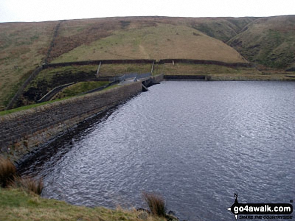
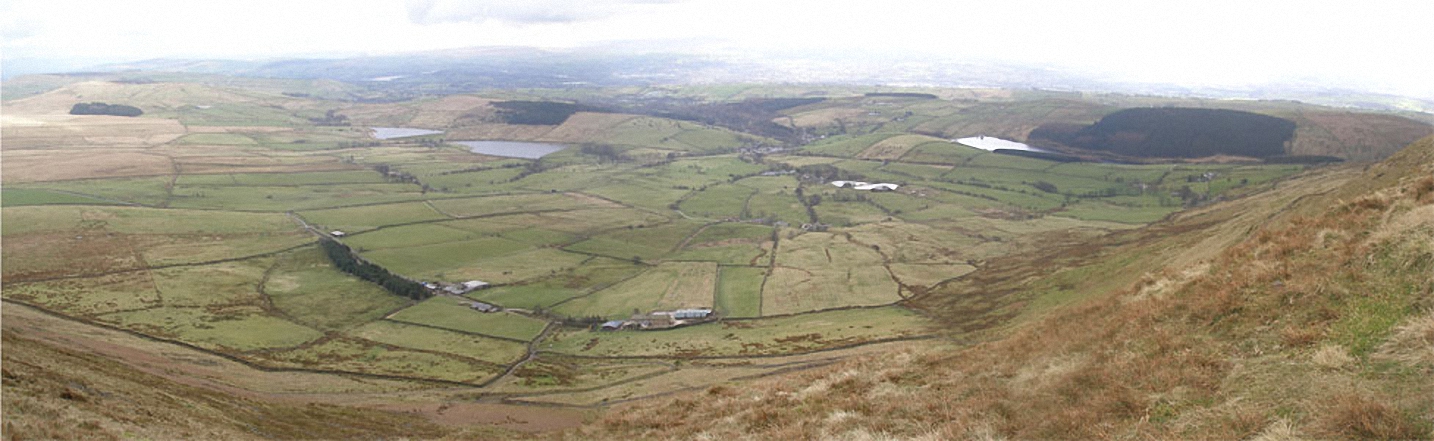
Barley, Ing Ends and Ogden Reservoirs from the top Pendle Hill (Beacon or Big End)
. . . load all 33 walk photos from Walk l112 Pendle Hill via Boar Clough from Barley
Send us your photographs and pictures from your walks and hikes
We would love to see your photographs and pictures from walk l112 Pendle Hill via Boar Clough from Barley. Send them in to us as email attachments (configured for any computer) along with your name and where the picture was taken to:
and we shall do our best to publish them.
(Guide Resolution = 300dpi. At least = 660 pixels (wide) x 440 pixels (high).)

You can also submit photos from walk l112 Pendle Hill via Boar Clough from Barley via our Facebook Page.
NB. Please indicate where each photo was taken.


