   |
Vital Statistics:
| Length: | 11mls (17.5km) |
| Ascent: | 2,288ft (697m) |
| Time: | 6¼hrs |
| Grade: |  |
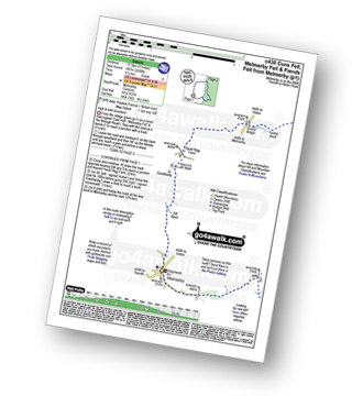
Route outline for walk c430:
Melmerby - Meikle Awfell - Cuns Fell - Maiden Way (Roman Road) - Meg's Cairn - Melmerby Fell - Knapside Hill - Little Knapside Hill - Fiend's Fell - Twotop Bridge - Hazel Rigg Farm - Gamblesby - Gill Beck - Melmerby
Peaks, Summits and Tops reached on this walk:
 1 English Mountain |
 0 Wainwrights |
 2 English Nuttalls |
 1 English Dewey |
 0 Wainwright Outlying Fells |
 0 Marilyns |
 0 Bridgets |
Peak Bagging Statistics for this walk:
The highest point of this walk is Melmerby Fell at 709m (2326ft). Melmerby Fell is classified as an English Mountain (Hewitt) (96th highest in England, 162nd highest in England & Wales)
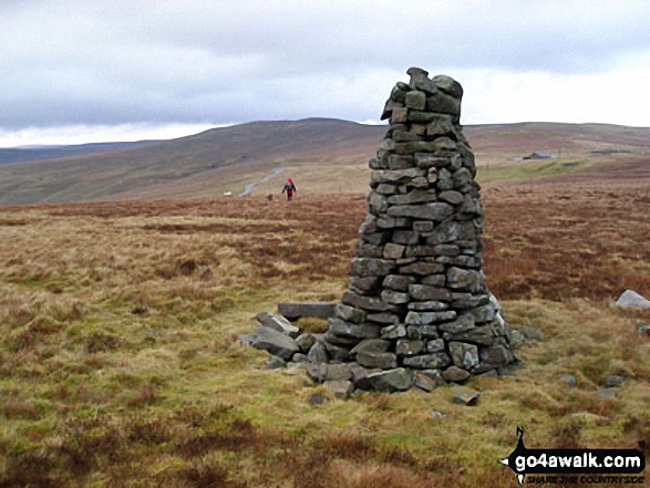
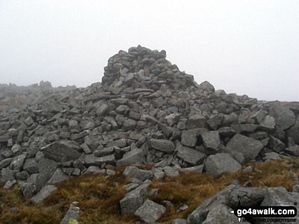
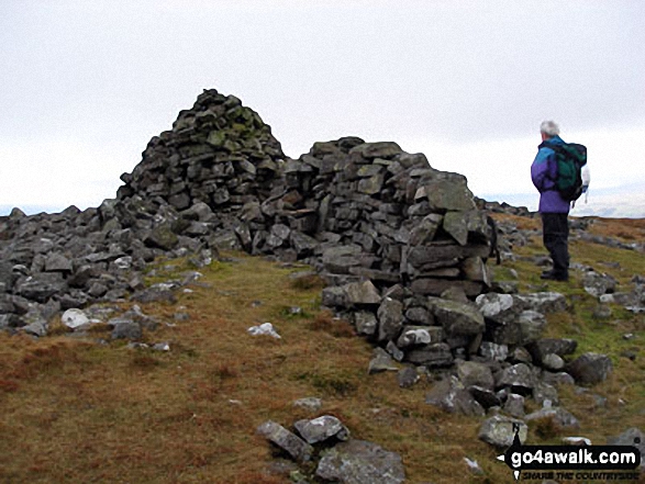
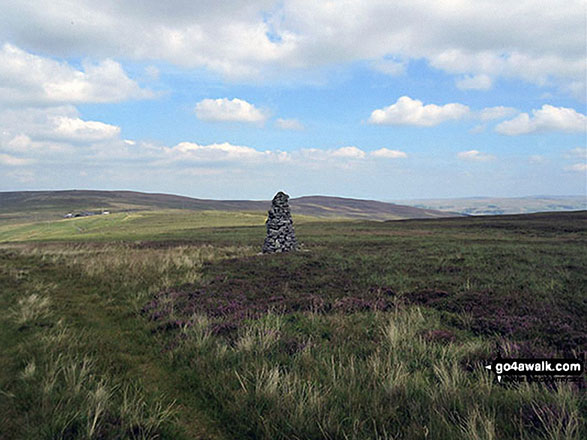
Melmerby Fell is also known as an English Nuttall (120th highest in England, 204th highest in England & Wales). The summit of Melmerby Fell is marked by a cairn.
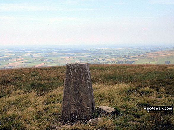
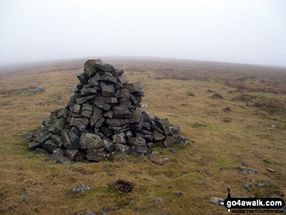
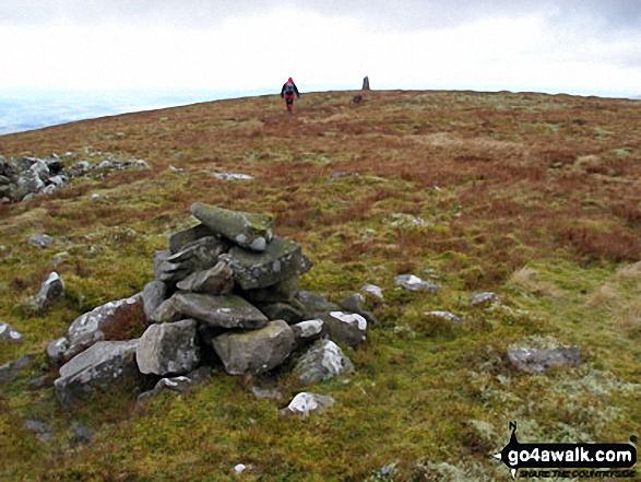
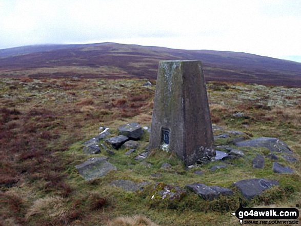
Completing this walk will also take you to the top of Fiend's Fell at 634m (2081ft). Fiend's Fell is also known as an English Nuttall (208th highest in England, 358th highest in England & Wales). The summit of Fiend's Fell is marked by an Ordnance Survey Trig Point.
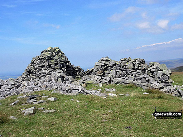
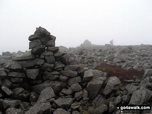
You will also reach the summit of Cuns Fell at 539m (1769ft). Cuns Fell is also known as an English Dewey (94th highest in England, 215th in England & Wales) The summit of Cuns Fell is marked by a rocky outcrop.
You can find this walk and other nearby walks on these unique free-to-access Interactive Walk Planning Maps:
1:25,000 scale OS Explorer Map (orange/yellow covers):
1:50,000 scale OS Landranger Maps (pink/magenta covers):
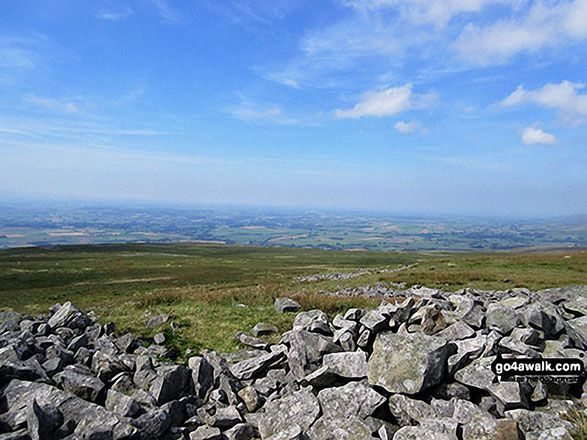
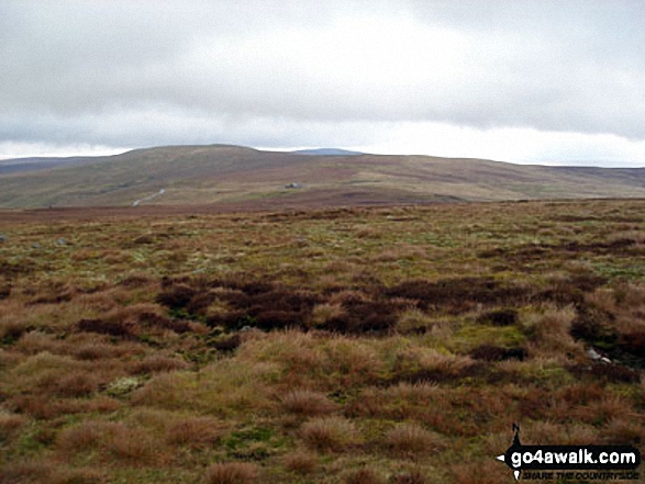
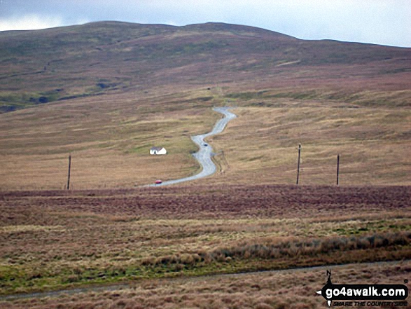
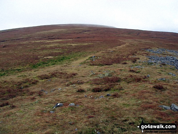
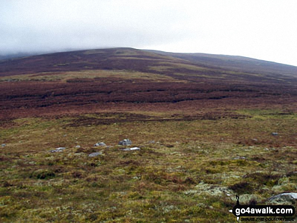
Some Photos and Pictures from Walk c430 Cuns Fell, Melmerby Fell and Fiend's Fell from Melmerby
In no particular order . . .

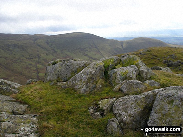
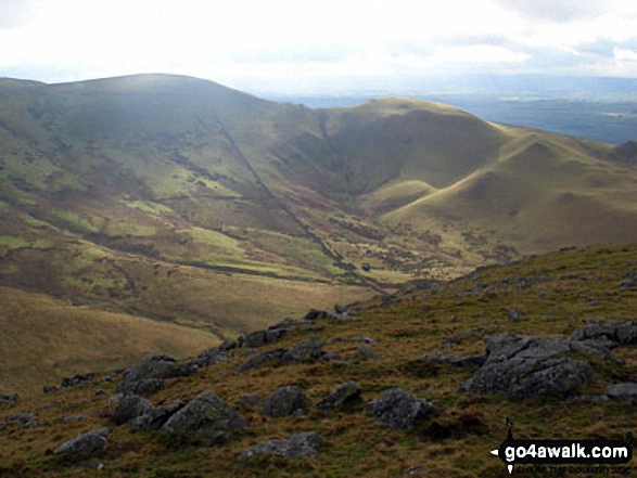
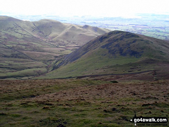
Black Fell (Haresceugh Fell) and the A686 near Hartside Cafe from Fiend's Fell
. . . load all 22 walk photos from Walk c430 Cuns Fell, Melmerby Fell and Fiend's Fell from Melmerby
Send us your photographs and pictures from your walks and hikes
We would love to see your photographs and pictures from walk c430 Cuns Fell, Melmerby Fell and Fiend's Fell from Melmerby. Send them in to us as email attachments (configured for any computer) along with your name and where the picture was taken to:
and we shall do our best to publish them.
(Guide Resolution = 300dpi. At least = 660 pixels (wide) x 440 pixels (high).)

You can also submit photos from walk c430 Cuns Fell, Melmerby Fell and Fiend's Fell from Melmerby via our Facebook Page.
NB. Please indicate where each photo was taken.


