
![]()
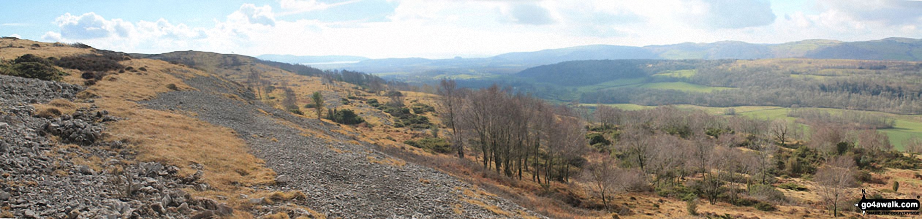
Arnside Knott
159m (522ft)
The South Pennines and The Forest of Bowland, Cumbria, England
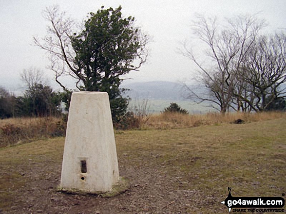
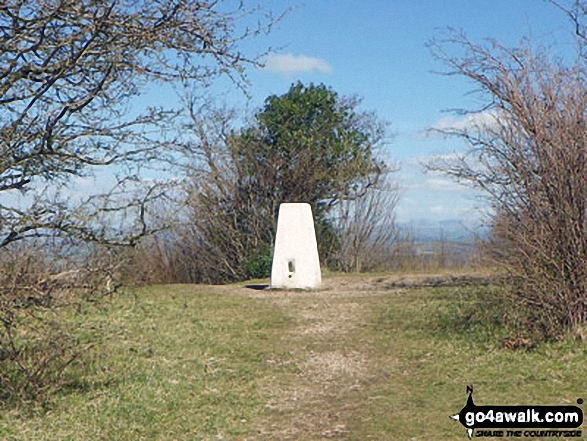
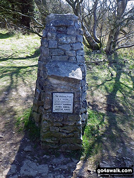
The summit of Arnside Knott is marked by an Ordnance Survey Trig Point.
Not familiar with this top?
   |
|---|
Vital Statistics:
| Length: | 3.75ml (6km) |
|---|---|
| Ascent: | 627ft (191m) |
| Time: | 2 hrs |
| Grade: |  (Easy) (Easy) |
Route Summary:
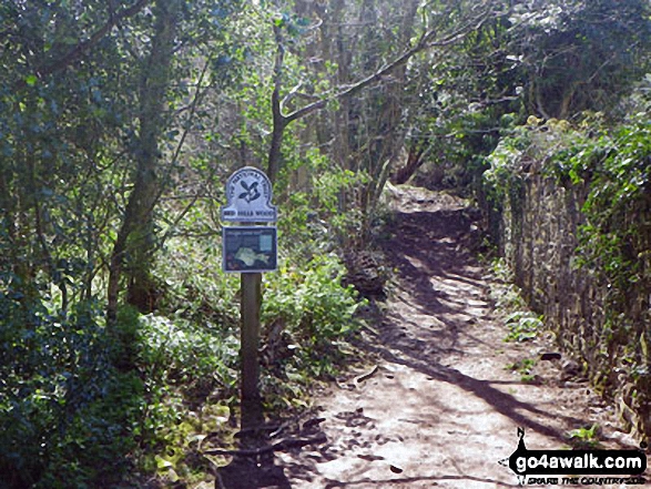
Arnside (Morecambe Bay) - Red Hills Wood - Arnside Knott - Copridding Wood - Grubbins Wood - Morecambe Bay - The Cumbria Coastal Way - Arnside (Morecambe Bay)
See Arnside Knott and the surrounding tops on our free-to-access 'Google Style' Peak Bagging Map:
The Forest of Bowland and The South Pennines
Less data - quicker to download
See Arnside Knott and the surrounding tops on our downloadable Peak Bagging Map in PDF format:

NB: Whether you print off a copy or download it to your phone, this PDF Peak Baggers' Map might prove incredibly useful when your are up there on the tops and you cannot get a phone signal.
You can find Arnside Knott & all the walks that climb it on these unique free-to-access Interactive Walk Planning Maps:
1:25,000 scale OS Explorer Map (orange/yellow covers):
1:50,000 scale OS Landranger Map (pink/magenta covers):
 Fellow go4awalkers who have already walked, climbed, summited & bagged Arnside Knott
Rob Bennion walked up Arnside Knott on January 2nd, 2023 [from/via/route] town centre [with] Dawn Bennion [weather] Wet & mirky
Adrian Howard climbed Arnside Knott on August 24th, 2011 [from/via/route] Roadside parking to south of summit
Mark Davidson bagged Arnside Knott on November 18th, 2005 [with] MK [weather] Bit grey - Saw a dog running about with a little two wheeled cart instead of back legs. Amazing!
Margaret Richards hiked Arnside Knott on May 9th, 2017 [from/via/route] c359 from Arnside [with] Don [weather] Sunny
Terry Hughes summited Arnside Knott on April 19th, 2016 [from/via/route] The Albion, Arnside. [with] Solo [weather] Dry, bright & warm with a gentle breeze. - Feeling pleased with myself after a long period of illness had limited my walking to on the flat.
Aaron Byrne conquered Arnside Knott on January 10th, 2016 [from/via/route] Using walk c359 [weather] Cloudy. Then hailstone. Then light rain
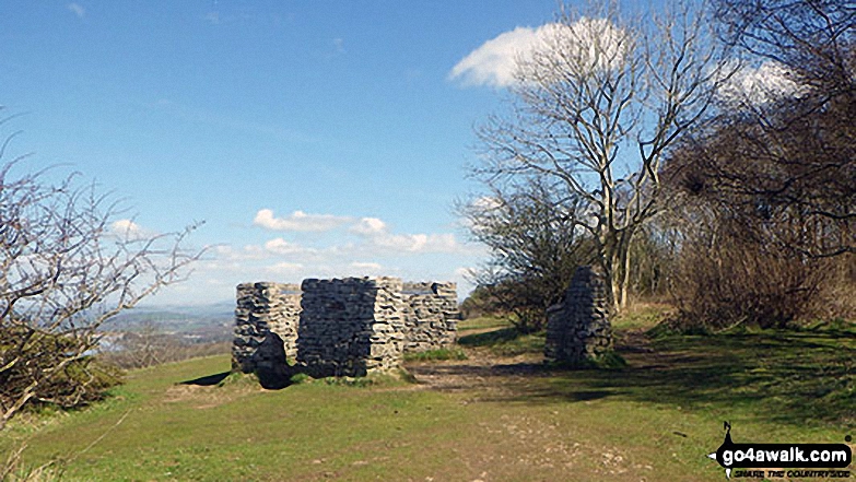
Carol Cartwright scaled Arnside Knott on November 11th, 2013 [from/via/route] Arnside Knott via Arnside Tower. Created own walk. [with] Andy [weather] Very misty - Very muddy in places. Loved the ruined tower. Must return on a clear day for the views. 1st one ticked off my hills list
Syd Barnes walked up Arnside Knott on January 11th, 2014 [with] Jo and Eugene [weather] Sunny
Christine Shepherd climbed Arnside Knott on October 13th, 2013 [from/via/route] Arnside [with] On my own [weather] Dry but overcast
Patrick Rogozinski, Louise Sandwith and Geoffrey Robertshaw have all walked, climbed & bagged Arnside Knott.
To add (or remove) your name and experiences on this page - Log On and edit your Personal Mountain Bagging Record
More Photographs & Pictures of views from, on or of Arnside Knott
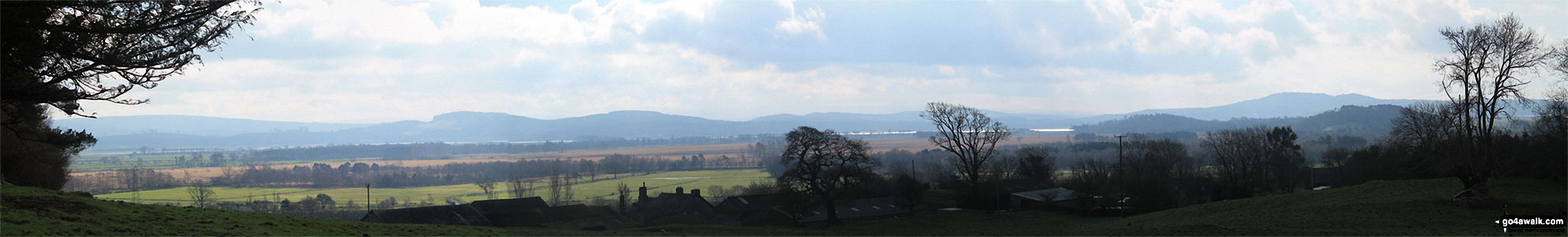
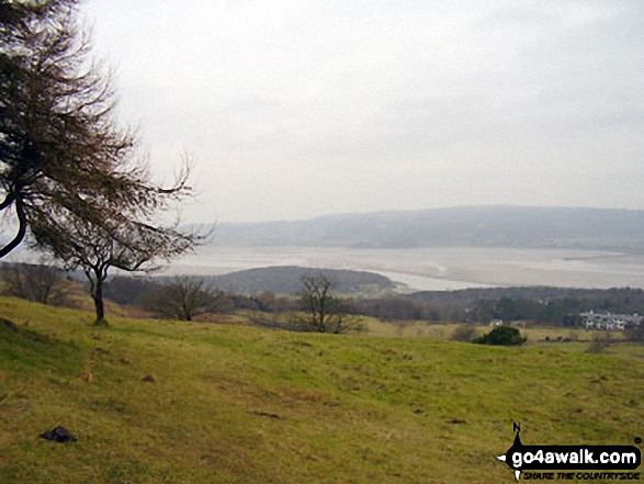
Looking South across Foulshaw Moss to Milnthorpe Sands, Arnside Knott and The forest of Bowland from Buckhouse Wood above Mill Side
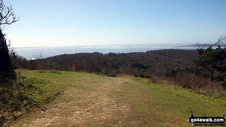
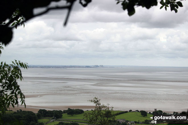
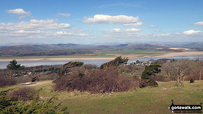
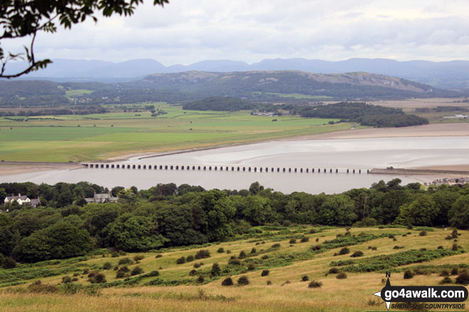
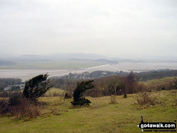
Looking South across Morecambe Bay towards Morecambe itself from Arnside Knott
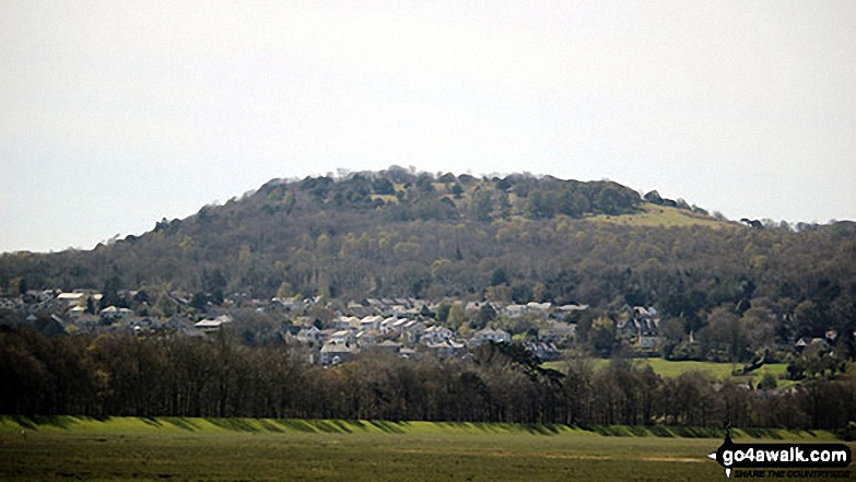
Arnside Knott, Upper Allithwaite and High Park Wood from above Black Yews Scar, Whitbarrow Scar
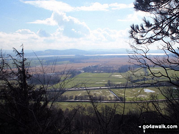
Looking South across Foulshaw Moss to Milnthorpe Sands, Arnside Knott and The forest of Bowland from Mill Side
Arnside Knott, Humphrey Head, Dixon Heights (Newton Fell) and Saskills (Newton Fell) from the Whitbarrow Scar ridge
Arnside Knott and Upper Allithwiate from above Black Yews Scar, Whitbarrow Scar
. . . see all 24 walk photographs & pictures of views from, on or of Arnside Knott
Send us your photographs and pictures on, of, or from Arnside Knott
If you would like to add your walk photographs and pictures featuring views from, on or of Arnside Knott to this page, please send them as email attachments (configured for any computer) along with your name to:
and we shall do our best to publish them.
(Guide Resolution = 300dpi. At least = 660pixels (wide) x 440 pixels (high).)

You can also submit photos via our Facebook Page.
NB. Please indicate where each photo was taken and whether you wish us to credit your photos with a Username or your First Name/Last Name.
Not familiar with this top?


