
![]()
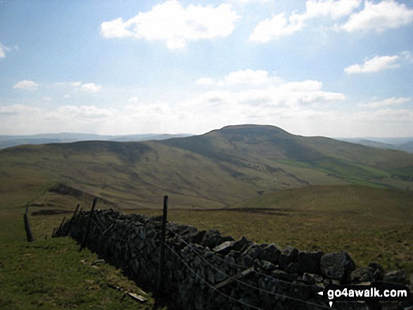
Hownam Law
449m (1474ft)
The Border Hills, The Scottish Borders, The Borders, Scotland
Hownam Law is pronounced 'Hoonam Law'.
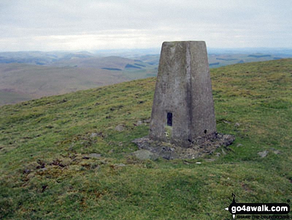
The summit of Hownam Law is marked by an Ordnance Survey Trig Point.
Not familiar with this top?
   |
|---|
Vital Statistics:
| Length: | 8.75ml (14km) |
|---|---|
| Ascent: | 1,260ft (384m) |
| Time: | 4½ hrs |
| Grade: |  (Moderate) (Moderate) |
Route Summary:
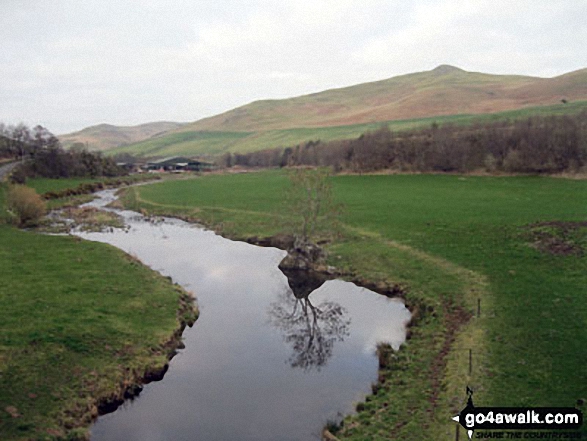
Morebattle - The St Cuthbert's Way - Kale Water - Grubbit Law - Cushat End - Hownam Law - South Cote - Howgate - Heavyside - Gateshaw - Morebattle
See Hownam Law and the surrounding tops on our free-to-access 'Google Style' Peak Bagging Maps:
The Border Hills area of Scottish Region 28: The Scottish Borders
Less data - quicker to download
Scottish Region 27: The Scottish Borders
Less data - quicker to download
A go4awalk.com downloadable Peak Bagging Map in PDF format featuring Hownam Law should be available soon.
You can find Hownam Law & all the walks that climb it on these unique free-to-access Interactive Walk Planning Maps:
1:25,000 scale OS Explorer Map (orange/yellow covers):
1:50,000 scale OS Landranger Map (pink/magenta covers):
 Fellow go4awalkers who have already walked, climbed, summited & bagged Hownam Law
To add (or remove) your name and experiences on this page - Log On and edit your Personal Mountain Bagging Record
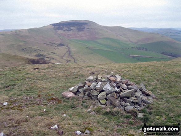
More Photographs & Pictures of views from, on or of Hownam Law
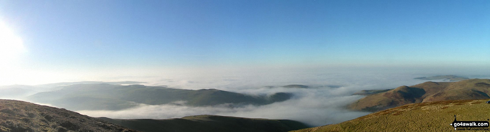

Hownam Law poking through the clouds during a Temperature Inversion from The St Cuthbert's Way on Wideopen Hill
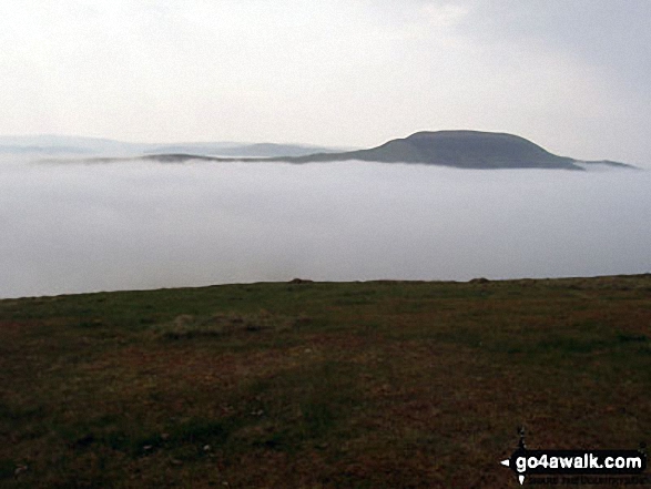
Hownam Law during a Temperature Inversion from The St Cuthbert's Way on Wideopen Hill
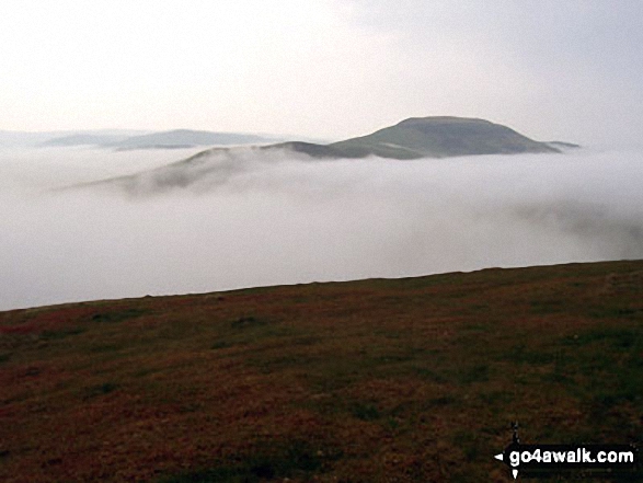
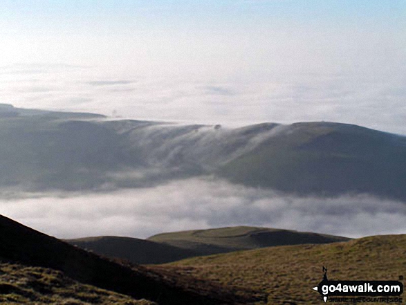
Hownam Law appearing through the mist during a Temperature Inversion from The St Cuthbert's Way on Wideopen Hill
Send us your photographs and pictures on, of, or from Hownam Law
If you would like to add your walk photographs and pictures featuring views from, on or of Hownam Law to this page, please send them as email attachments (configured for any computer) along with your name to:
and we shall do our best to publish them.
(Guide Resolution = 300dpi. At least = 660pixels (wide) x 440 pixels (high).)

You can also submit photos via our Facebook Page.
NB. Please indicate where each photo was taken and whether you wish us to credit your photos with a Username or your First Name/Last Name.
Not familiar with this top?


