   |
Vital Statistics:
| Length: | 8½mls (13.5km) |
| Ascent: | 1,791ft (546m) |
| Time: | 5hrs |
| Grade: |  |
Route outline for walk sh134:
Leebotwood - The Lawley - Comley - Caer Caradoc Hill - Three Fingers Rock - Comley - Leebotwood
Peaks, Summits and Tops reached on this walk:
 0 English Mountains |
 0 Wainwrights |
 0 English Nuttalls |
 0 English Deweys |
 0 Wainwright Outlying Fells |
 1 Marilyn |
 1 Bridget |
Peak Bagging Statistics for this walk:
The highest point of this walk is Caer Caradoc Hill at 459m (1506ft). Caer Caradoc Hill is classified as an English Marilyn (84th highest in England, 1083rd highest in the UK). The summit of Caer Caradoc Hill is marked by a cairn.
Completing this walk will also take you to the top of The Lawley at 377m (1237ft). The Lawley is known as an English Bridget. The summit of The Lawley is marked by a tall weather vane.
You can find this walk and other nearby walks on these unique free-to-access Interactive Walk Planning Maps:
1:25,000 scale OS Explorer Map (orange/yellow covers):
1:50,000 scale OS Landranger Maps (pink/magenta covers):
Some Photos and Pictures from Walk sh134 Caer Caradoc Hill and The Lawley
In no particular order . . .
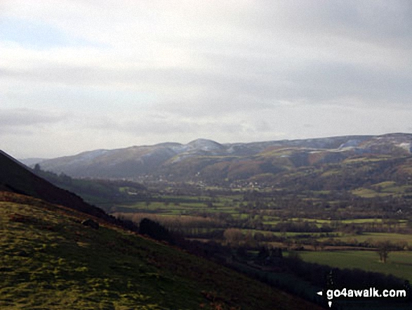

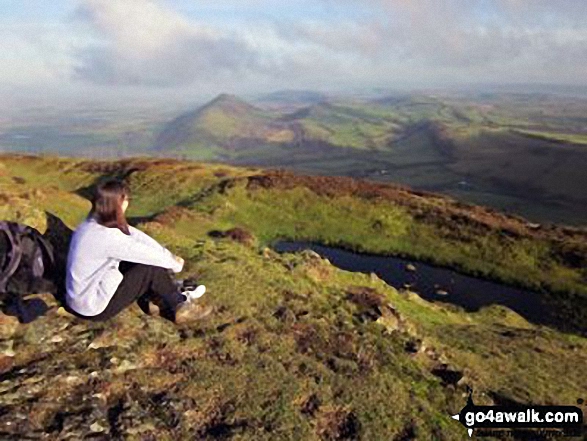
The Lawley (far left) and The Wrekin (in the distance) from Caer Caradoc Hill
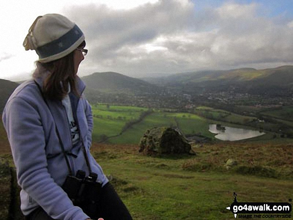
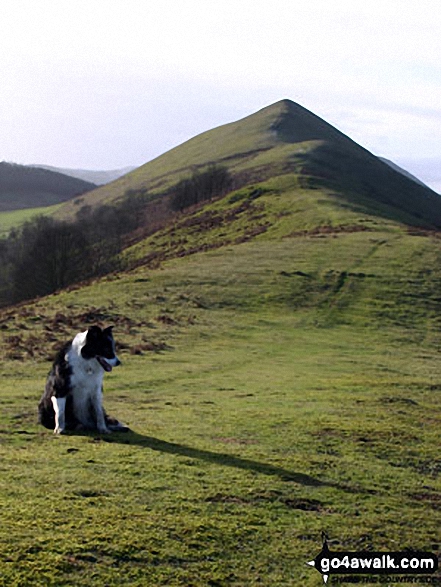
The best person in the world on top of Caer Caradoc Hill (featuring The Lawley (centre left) and The Wilderness (right)
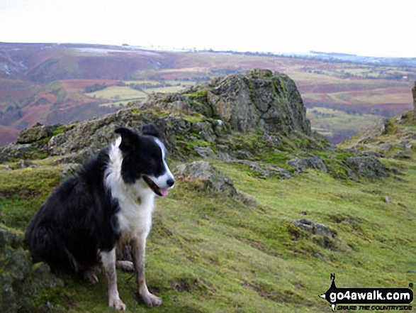
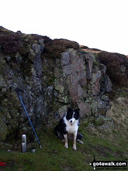
Looking South from Three Fingers Rock at the south east end of Caer Caradoc Hill
Send us your photographs and pictures from your walks and hikes
We would love to see your photographs and pictures from walk sh134 Caer Caradoc Hill and The Lawley. Send them in to us as email attachments (configured for any computer) along with your name and where the picture was taken to:
and we shall do our best to publish them.
(Guide Resolution = 300dpi. At least = 660 pixels (wide) x 440 pixels (high).)

You can also submit photos from walk sh134 Caer Caradoc Hill and The Lawley via our Facebook Page.
NB. Please indicate where each photo was taken.


