   |
Vital Statistics:
| Length: | 7¼mls (11.5km) |
| Ascent: | 1,894ft (577m) |
| Time: | 4½hrs |
| Grade: |  |
Route outline for walk st132:
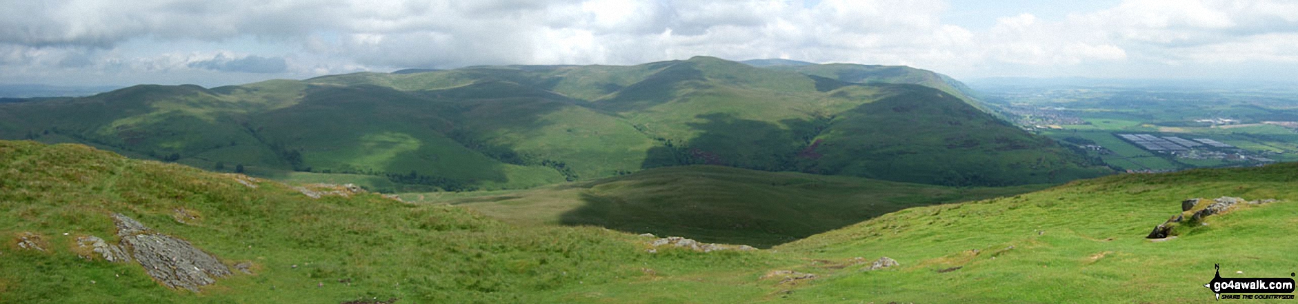
Kirk Logie - Bridge of Allan - Yellow Craig Wood - Dumyat - Glen Menstrie - Lossburn Reservoir - Kirk Logie - Bridge of Allan.
Peaks, Summits and Tops reached on this walk:
 0 Munros |
 0 Corbetts |
 0 Grahams |
 0 Murdos |
 0 Donalds |
 1 Scottish Marilyn |
 0 Bridgets |
Peak Bagging Statistics for this walk:
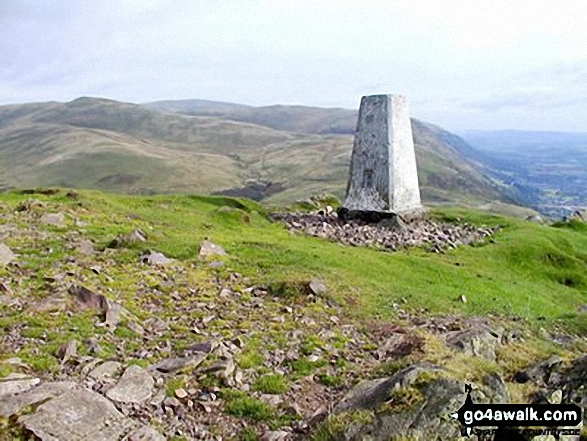
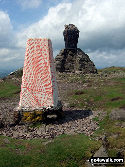
The highest point of this walk is Dumyat at 418m (1372ft). Dumyat is classified as a Scottish Marilyn (966th highest in Scotland, 1169th highest in the UK). The summit of Dumyat is marked by an Ordnance Survey Trig Point.
Free-to-access Interactive Walk Planning Maps:
1:25,000 scale OS Explorer Map (orange/yellow covers):
An Interactive Walk Planning Map for OS Explorer 366 Stirling & Ochil Hills West is not currently available
1:50,000 scale OS Landranger Maps (pink/magenta covers):
An Interactive Walk Planning Map for OS Landranger 58 Perth to Alloa, Auchterarder is not currently available
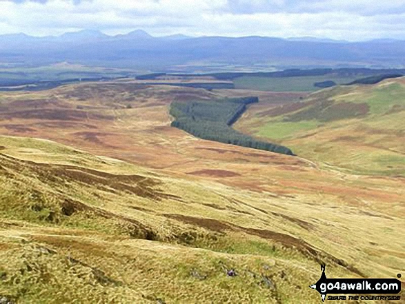
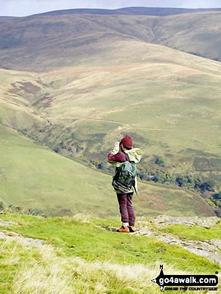
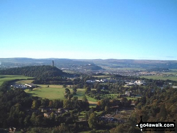
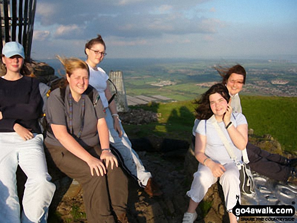
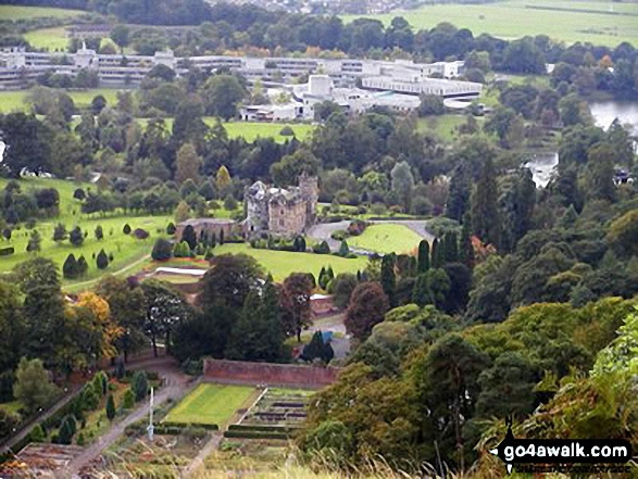
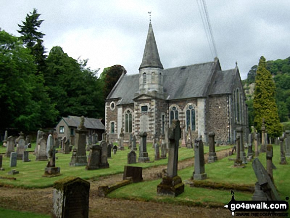
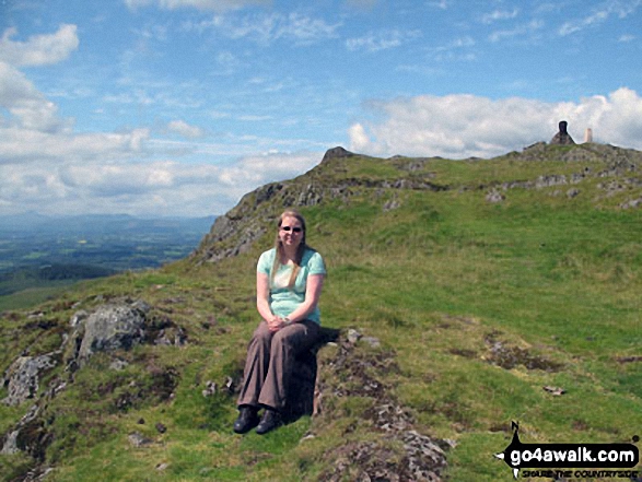
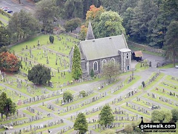
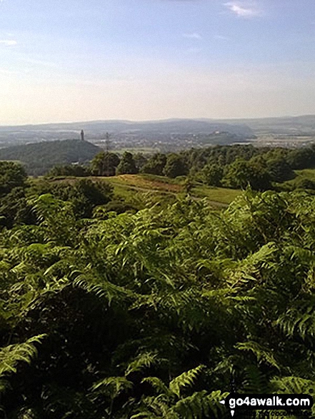
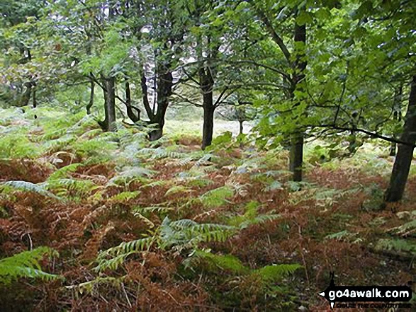
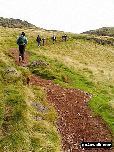
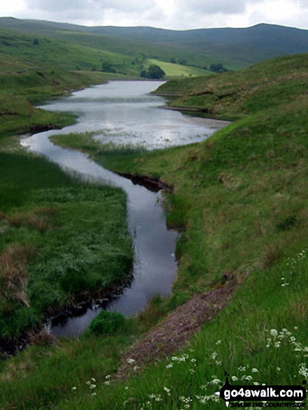
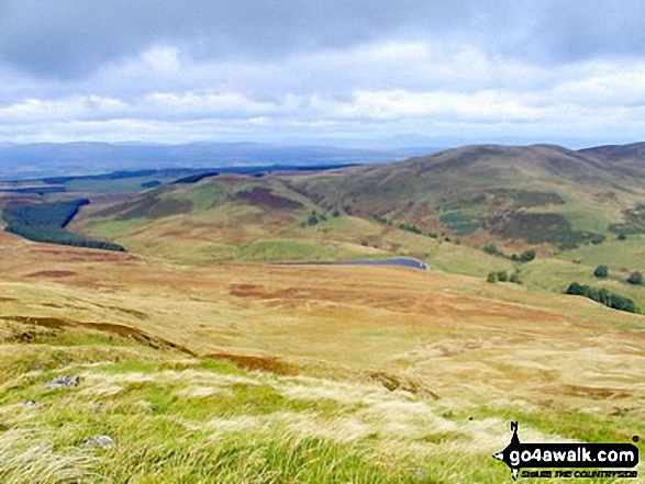
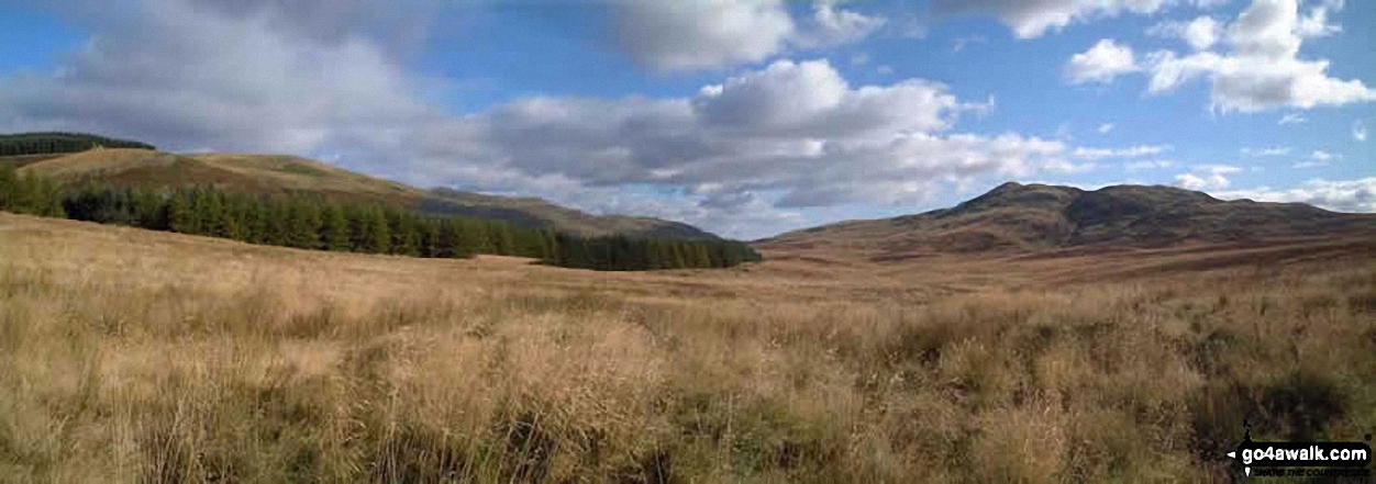
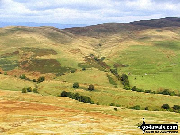
Some Photos and Pictures from Walk st132 Dumyat from Bridge of Allan
In no particular order . . .

. . . load all 23 walk photos from Walk st132 Dumyat from Bridge of Allan
Send us your photographs and pictures from your walks and hikes
We would love to see your photographs and pictures from walk st132 Dumyat from Bridge of Allan. Send them in to us as email attachments (configured for any computer) along with your name and where the picture was taken to:
and we shall do our best to publish them.
(Guide Resolution = 300dpi. At least = 660 pixels (wide) x 440 pixels (high).)

You can also submit photos from walk st132 Dumyat from Bridge of Allan via our Facebook Page.
NB. Please indicate where each photo was taken.


