   |
Vital Statistics:
| Length: | 12¾mls (19km) |
| Ascent: | 2,258ft (688m) |
| Time: | 6¾hrs |
| Grade: |  |
Route outline for walk d126:
Bradwell - Jennings Dale - Little Hucklow - Windmill - Great Hucklow - Bretton - Bretton Moor - Bretton Brook - Stoke Ford - Oaks Farm - Smelting Hill - Abney Moor - Burton Bole End (Abney Moor) - Wolf's Pit - Shatton Edge - Shatton Hope Valley - Townfield Barn - Elmore Hill Farm - Bothams Farm - Bradwell
Peaks, Summits and Tops reached on this walk:
 0 English Mountains |
 0 Wainwrights |
 0 English Nuttalls |
 0 English Deweys |
 0 Wainwright Outlying Fells |
 0 Marilyns |
 1 Bridget |
Peak Bagging Statistics for this walk:
The highest point of this walk is Burton Bole End (Abney Moor) at 417m (1369ft). Burton Bole End (Abney Moor) is known as an English Bridget.
You can find this walk and other nearby walks on these unique free-to-access Interactive Walk Planning Maps:
1:25,000 scale OS Explorer Maps (orange/yellow covers):
1:50,000 scale OS Landranger Maps (pink/magenta covers):
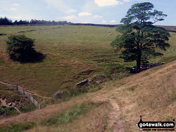
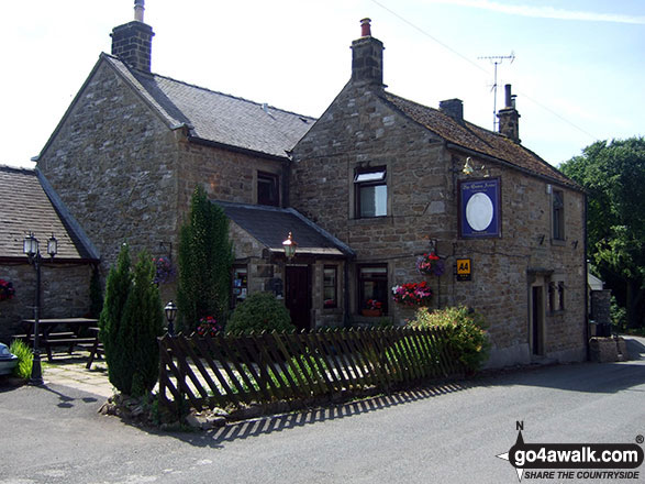
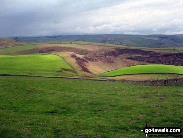
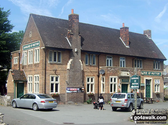
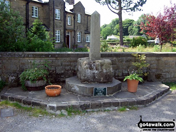
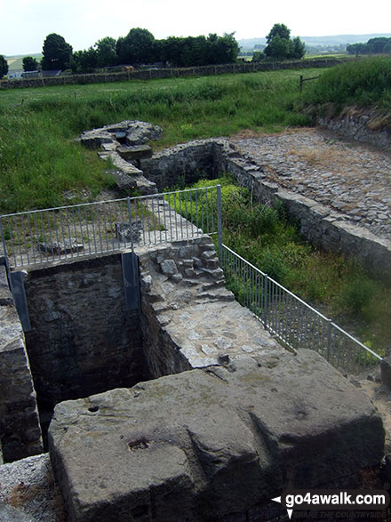
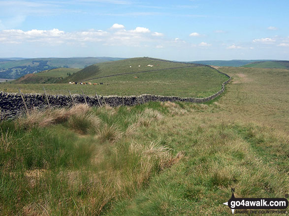
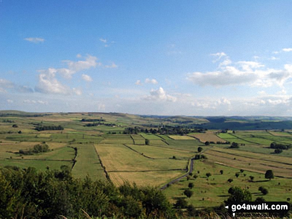
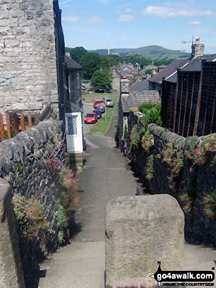
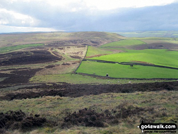
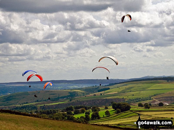
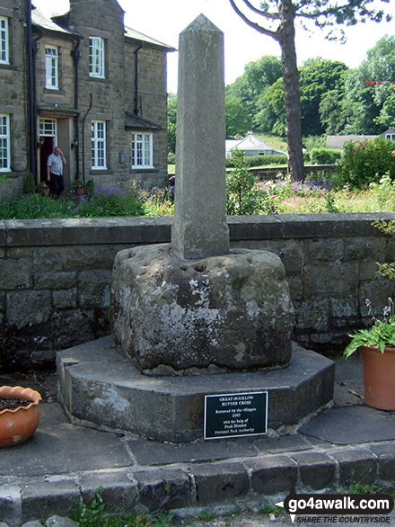
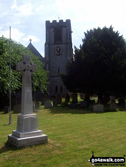
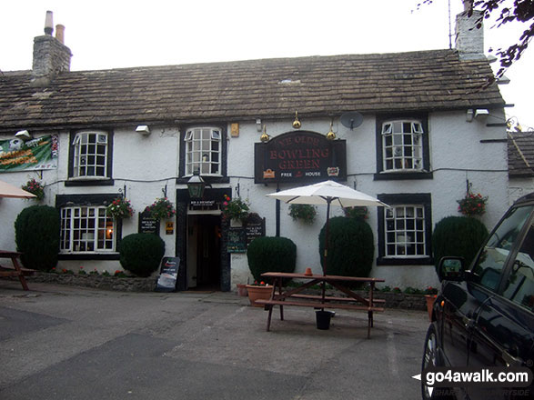
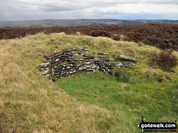
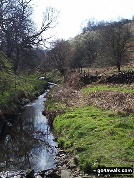
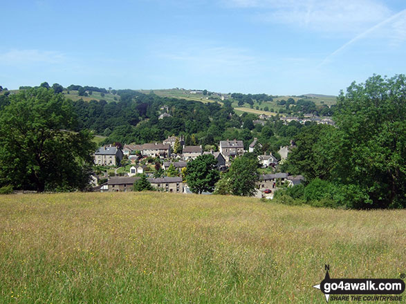
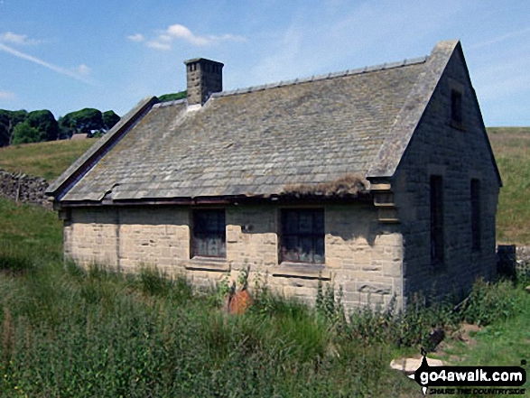
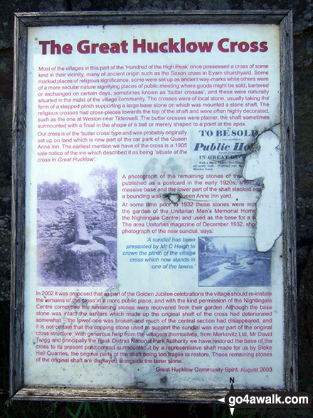
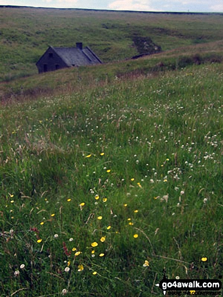
Some Photos and Pictures from Walk d126 Great Hucklow, Bretton, Abney Clough and Burton Bole End from Bradwell
In no particular order . . .
Send us your photographs and pictures from your walks and hikes
We would love to see your photographs and pictures from walk d126 Great Hucklow, Bretton, Abney Clough and Burton Bole End from Bradwell. Send them in to us as email attachments (configured for any computer) along with your name and where the picture was taken to:
and we shall do our best to publish them.
(Guide Resolution = 300dpi. At least = 660 pixels (wide) x 440 pixels (high).)

You can also submit photos from walk d126 Great Hucklow, Bretton, Abney Clough and Burton Bole End from Bradwell via our Facebook Page.
NB. Please indicate where each photo was taken.


