Walk sh101 Brown Clee Hill from Cleobury North
This 6½ mile, Grade 4 (Moderate), easy-to-follow, hand-crafted walk, complete with GPS Waypoints, starts at Cleobury North & will take about 3½ hrs to complete.
   |
Vital Statistics:
| Length: | 6½mls (10.5km) |
| Ascent: | 1,152ft (351m) |
| Time: | 3½hrs |
| Grade: |  |

Route outline for walk sh101:
Cleobury North - Stanbroughs Wood - Brown Clee Hill (Abdon Burf) - The Shropshire Way - Sandy Nap - Monkeys Fold - Green Lea - Brown Clee Hill (Clee Burf) - Chapelwod Farm - Wallermoore Wood - Harewood - Cleobury North
Peaks, Summits and Tops reached on this walk:
 0 English Mountains |
 0 Wainwrights |
 0 English Nuttalls |
 2 English Deweys |
 0 Wainwright Outlying Fells |
 1 Marilyn |
 0 Bridgets |
Peak Bagging Statistics for this walk:
The highest point of this walk is Brown Clee Hill (Abdon Burf) at 540m (1772ft). Brown Clee Hill (Abdon Burf) is also known as an English Dewey (93rd highest in England, 212th in England & Wales) and an English Marilyn (66th highest in England, 895th highest in the UK). The summit of Brown Clee Hill (Abdon Burf) is marked by an Ordnance Survey Trig Point. Brown Clee Hill (Abdon Burf) is the highest point in the county of Shropshire
Completing this walk will also take you to the top of Brown Clee Hill (Clee Burf) at 508m (1667ft). Brown Clee Hill (Clee Burf) is also known as an English Dewey (165th highest in England, 381st in England & Wales)
National Trails & Long Paths included on this walk:
Part of this walk follows a section of The Shropshire Way, a 224km (139 miles) circular footpath starting and finishing in Wem in Shropshire, England. The Shropshire Way is waymarked by a buzzard motif. For more walks that include a section of this trail see The Shropshire Way.
You can find this walk and other nearby walks on these unique Interactive Walk Planning Maps:
(worth a look if you're new to go4awalk.com & have never seen one of these before.)
1:25,000 scale OS Explorer Map (orange/yellow covers):
1:50,000 scale OS Landranger Map (pink/magenta covers):
Some Photos and Pictures from Walk sh101 Brown Clee Hill from Cleobury North
In no particular order . . .
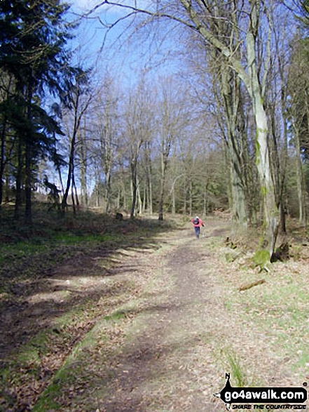
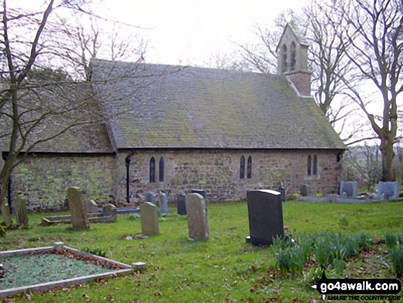
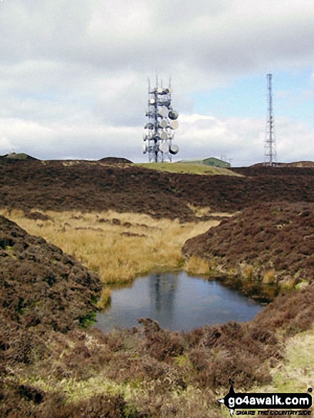
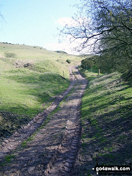
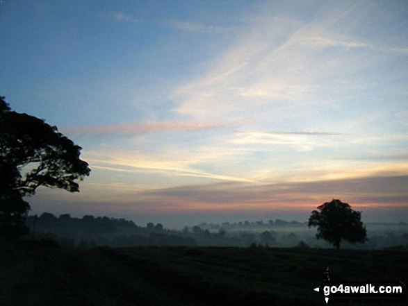
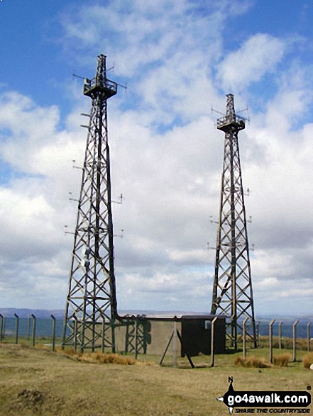
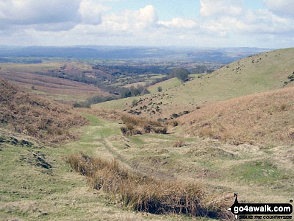
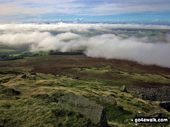
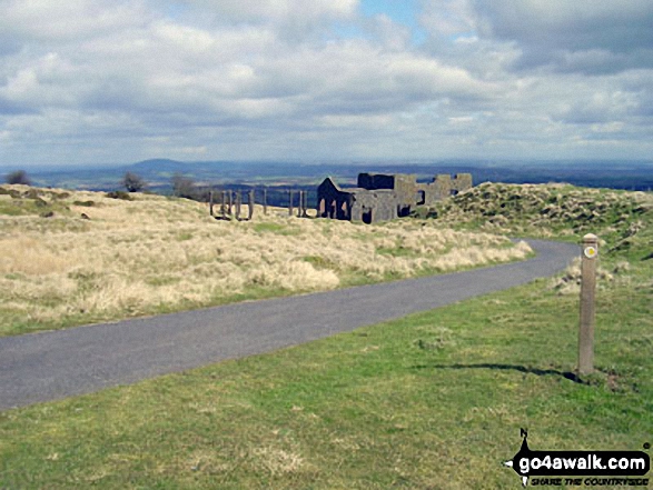

. . . load all 16 walk photos from Walk sh101 Brown Clee Hill from Cleobury North
Send us your photographs and pictures from your walks and hikes
We would love to see your photographs and pictures from walk sh101 Brown Clee Hill from Cleobury North. Send them in to us as email attachments (configured for any computer) along with your name and where the picture was taken to:
and we shall do our best to publish them.
(Guide Resolution = 300dpi. At least = 660 pixels (wide) x 440 pixels (high).)

You can also submit photos from walk sh101 Brown Clee Hill from Cleobury North via our Facebook Page.
NB. Please indicate where each photo was taken.

To contribute to go4awalk.com or to contact us about anything at all - see Talk To Us.
For help see Help.
go4awalk.com and go4awalk.co.uk are registered trademarks of TMDH Limited.
Copyright © 2000-2026 TMDH Limited. All rights reserved.
Copyright Terms & Conditions Privacy Statement
A - Z Walks Home Log On/Accounts Photo Gallery Walk Ideas and Collections Fell Facts Hill Skills Walking Questions and Answers Your Stories News Competitions Product Reviews/Gear Tests Walking Gear Guides Peaks and Mountains Peak Bagging Find New Walking Friends Camping GPS Waypoints for Walking Contents Walk Search Talk To Us go4awalk.com Help Free Example Walks Newsletter


