
![]()
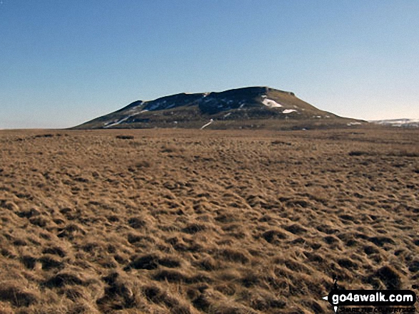
Addlebrough
477m (1565ft)
The Southern Dales Area, The Yorkshire Dales, North Yorkshire, England
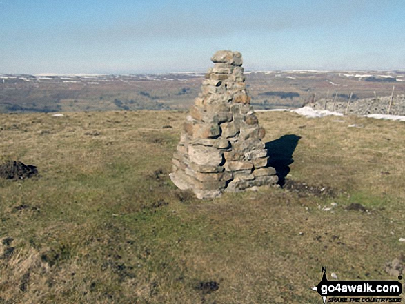
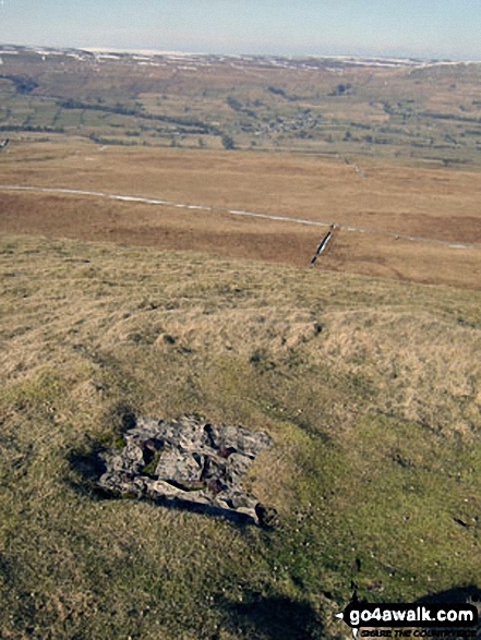
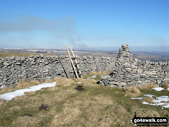
The summit of Addlebrough is marked by an Ordnance Survey Trig Point.
Not familiar with this top?
You can walk/hike to the top of Addlebrough by using any of these 3 easy‑to‑follow route maps:
Walk ny208 Addlebrough from Thornton Rust
Superb views of lovely Wensleydale
   |
|---|
Vital Statistics:
| Length: | 4.5mls (7km) |
|---|---|
| Ascent: | 870ft (265m) |
| Time: | 2½ hrs |
| Grade: |  (Easy) (Easy) |
Route Summary:
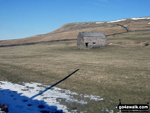
Thornton Rust - Thornton Rust Moor - Addlebrough - Swallow Hole - Worton Scar - Thornton Scar - Thornton Rust
Walk ny114 Addlebrough via Worton Pasture from Askrigg, Wensleydale
Superb views of lovely Wensleydale
|
|---|
Vital Statistics:
| Length: | 7.75mls (12.5km) |
|---|---|
| Ascent: | 1,214ft (370m) |
| Time: | 4.25hrs |
| Grade: |  (Moderate) (Moderate) |

Route Summary:
Askrigg - Askrigg Bottoms - The River Ure - Wensleysdale - Worton Bridge - Worton - Cubeck - Carpley Green Road - Worton Pasture - Carpley Green Farm - Addlebrough - Swallow Hole - Worton Scar - Worton - Wensleydale - Askrigg Bottoms - Askrigg
Walk ny160 Addlebrough and Thornton Rust from Askrigg, Wensleydale
Superb views of lovely Wensleydale
|
|---|
Vital Statistics:
| Length: | 9.75mls (15.5km) |
|---|---|
| Ascent: | 1,388ft (423m) |
| Time: | 5 hrs |
| Grade: | (Moderate) |
Route Summary:
Askrigg - Askrigg Bottoms - The River Ure - Wensleysdale - Worton Bridge - Worton - Cubeck - Carpley Green Road - Worton Pasture - Carpley Green Farm - Addlebrough - Thornton Rust Moor - Thornton Rust - River Ure - Wensleydale - Nappa Mill Farm - Askrigg
See Addlebrough and the surrounding tops on our free-to-access 'Google Style' Peak Bagging Maps:
The Southern Dales Area of The Yorkshire Dales National Park
Less data - quicker to download
The Whole of The Yorkshire Dales National Park
More data - might take a little longer to download
See Addlebrough and the surrounding tops on our unique, downloadable, PDF Peak Bagging Map:

NB: Whether you print off a copy or download it to your phone, this PDF Peak Baggers' Map might prove incredibly useful when your are up there on the tops and you cannot get a phone signal.
You can find Addlebrough & all the walks that climb it on these unique free-to-access Interactive Walk Planning Maps:
1:25,000 scale OS Explorer Map (orange/yellow covers):
1:50,000 scale OS Landranger Map (pink/magenta covers):
 Fellow go4awalkers who have already walked, climbed, scaled, summited, hiked & bagged Addlebrough
Richard Holmes walked up Addlebrough on March 24th, 2025 [from/via/route] Bottom [with] Myself. [weather] Nice. Bit of wind on top
Michael Naylor climbed it on April 3rd, 2019 [weather] Overcast
Andrew Joss bagged it on May 4th, 2014 [from/via/route] Thornton Rust [weather] Cloudy & windy
Peter Newman hiked Addlebrough on July 11th, 2013 [from/via/route] Askrigg [with] Donnas and Gromit [weather] Warm sunshine - Welcome south facing seat for two, built into a scar a few hundred metres short of the summit.
Patrick Rogozinski, Mike Walker and Mark Davidson have all walked, climbed & bagged Addlebrough.
To add (or remove) your name and experiences on this page - Log On and edit your Personal Mountain Bagging Record
More Photographs & Pictures of views from, on, or of, Addlebrough
Send us your photographs and pictures on, of, or from Addlebrough
If you would like to add your walk photographs and pictures to this page, please send them as email attachments (configured for any computer) along with your name to:
and we shall do our best to publish them.
(Guide Resolution = 300dpi. At least = 660pixels (wide) x 440 pixels (high).)

You can also submit photos via our Facebook Page.
NB. Please indicate where each photo was taken and whether you wish us to credit your photos with a Username or your First Name/Last Name.


