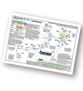
Walk sy119 Horse Stone and Outer Edge from The Flouch
This 11½ mile, Grade 6 (Moderate), easy-to-follow, hand-crafted walk, complete with GPS Waypoints, starts at The Flouch Car Park & will take about 6 hrs to complete.
   |
Vital Statistics:
| Length: | 11½mls (18.5km) |
| Ascent: | 1,674ft (510m) |
| Time: | 6hrs |
| Grade: |  |
Route outline for walk sy119:
The Flouch Car Park - Crookland Wood - Swinden Lane - Fox Clough - Langsett Moors - Barmings - Hordron Road - Long Moor Clough - Hordron Clough - The Porter or Little Don River - Laund Clough - Harden Moor - Howden Edge - Hoar Stones - Horse Stone (Horse Stone Naze) - Stainery Clough Head - Howden Moors - Crow Stones - Crow Stones Edge - Outer Edge - Cut Gate End - Cut Gate Path - Mickleden Edge - Delf Edge - Langsett Reservoir - The Porter or Little Don River - The Flouch.
Peaks, Summits and Tops reached on this walk:
 0 English Mountains |
 0 Wainwrights |
 0 English Nuttalls |
 1 English Dewey |
 0 Wainwright Outlying Fells |
 0 Marilyns |
 1 Bridget |
Peak Bagging Statistics for this walk:
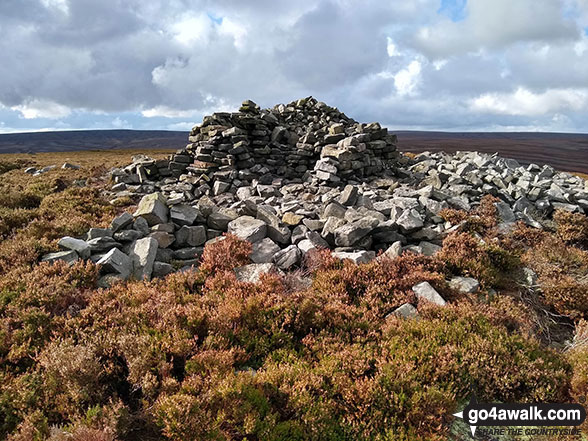
The highest point of this walk is Outer Edge at 541m (1775ft). Outer Edge is known as an English Bridget. The summit of Outer Edge is marked by an Ordnance Survey Trig Point.
Completing this walk will also take you to the top of Horse Stone (Horse Stone Naze) at 527m (1730ft). Horse Stone (Horse Stone Naze) is also known as an English Dewey (119th highest in England, 278th in England & Wales)
You can find this walk and other nearby walks on these unique Interactive Walk Planning Maps:
(worth a look if you're new to go4awalk.com & have never seen one of these before.)
1:25,000 scale OS Explorer Map (orange/yellow covers):
1:50,000 scale OS Landranger Map (pink/magenta covers):
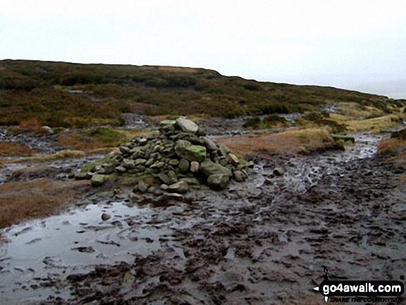
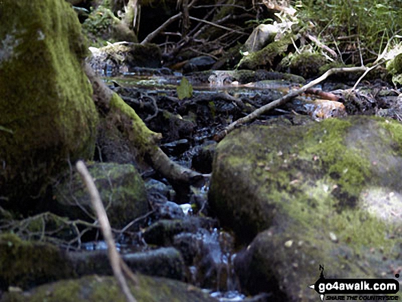
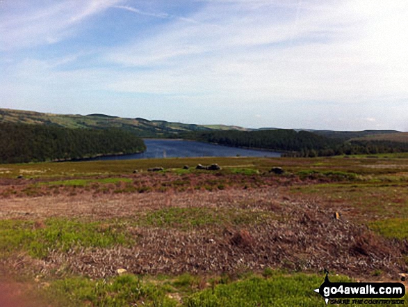
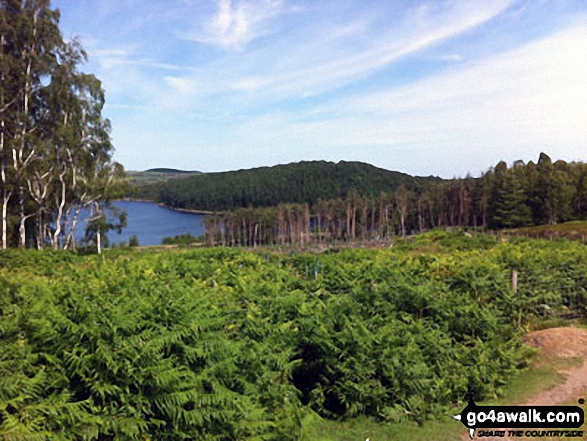
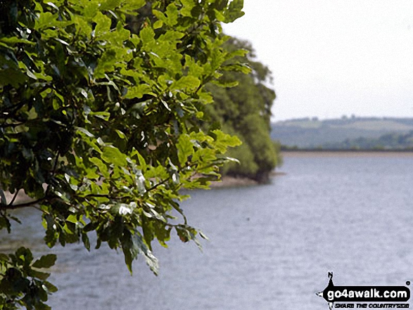
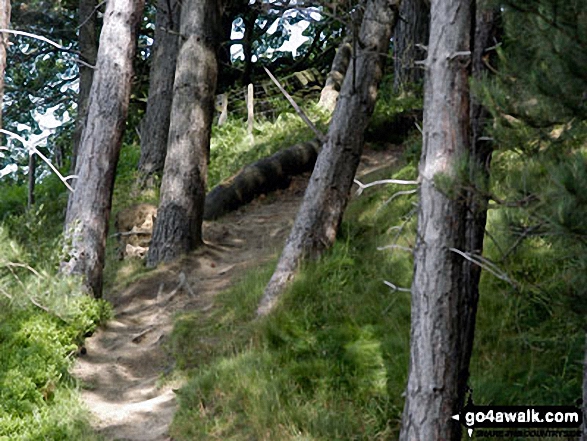
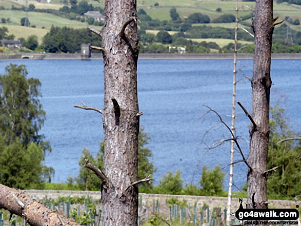
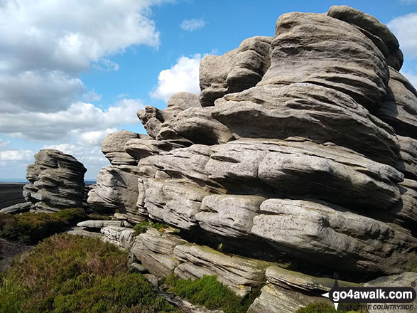
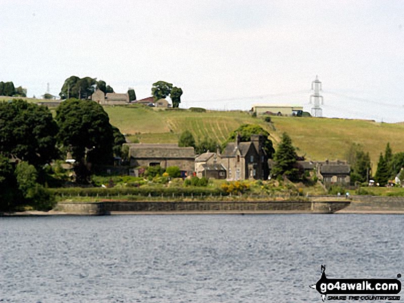
Some Photos and Pictures from Walk sy119 Horse Stone and Outer Edge from The Flouch
In no particular order . . .
. . . load all 62 walk photos from Walk sy119 Horse Stone and Outer Edge from The Flouch
Send us your photographs and pictures from your walks and hikes
We would love to see your photographs and pictures from walk sy119 Horse Stone and Outer Edge from The Flouch. Send them in to us as email attachments (configured for any computer) along with your name and where the picture was taken to:
and we shall do our best to publish them.
(Guide Resolution = 300dpi. At least = 660 pixels (wide) x 440 pixels (high).)

You can also submit photos from walk sy119 Horse Stone and Outer Edge from The Flouch via our Facebook Page.
NB. Please indicate where each photo was taken.

To contribute to go4awalk.com or to contact us about anything at all - see Talk To Us.
For help see Help.
go4awalk.com and go4awalk.co.uk are registered trademarks of TMDH Limited.
Copyright © 2000-2026 TMDH Limited. All rights reserved.
Copyright Terms & Conditions Privacy Statement
A - Z Walks Home Log On/Accounts Photo Gallery Walk Ideas and Collections Fell Facts Hill Skills Walking Questions and Answers Your Stories News Competitions Product Reviews/Gear Tests Walking Gear Guides Peaks and Mountains Peak Bagging Find New Walking Friends Camping GPS Waypoints for Walking Contents Walk Search Talk To Us go4awalk.com Help Free Example Walks Newsletter


