
![]()
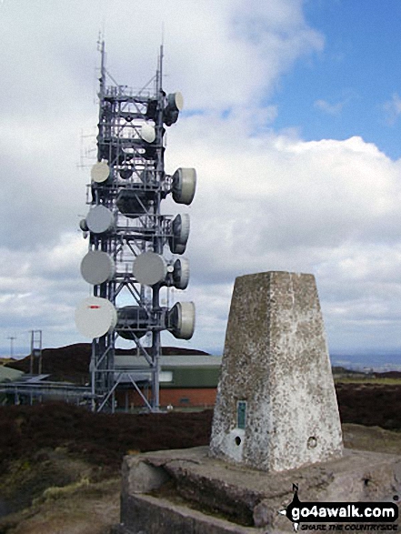
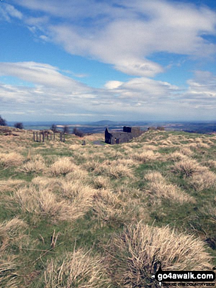
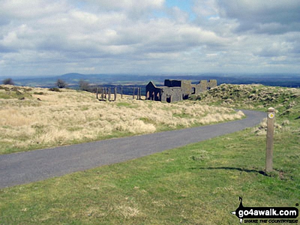
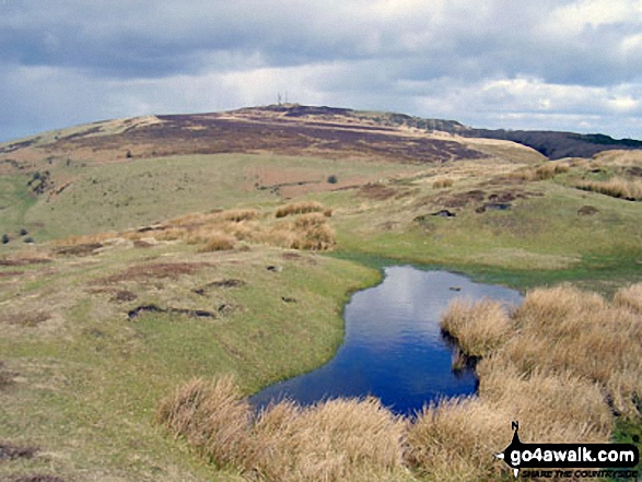
Brown Clee Hill (Abdon Burf)
540m (1772ft)
The Shropshire Hills Area of Outstanding Natural Beauty, Shropshire, England
Brown Clee Hill (Abdon Burf) is the highest point in the county of Shropshire
The summit of Brown Clee Hill (Abdon Burf) is marked by an Ordnance Survey Trig Point.
Not familiar with this top?
   |
|---|
Vital Statistics:
| Length: | 6.5ml (10.5km) |
|---|---|
| Ascent: | 1,152ft (351m) |
| Time: | 3½ hrs |
| Grade: |  (Moderate) (Moderate) |
Route Summary:
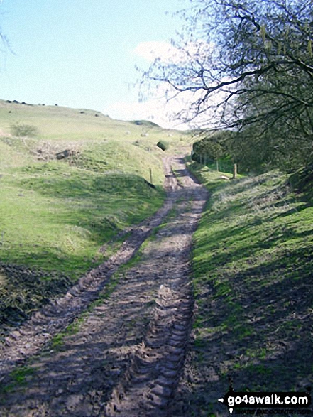
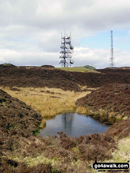
Cleobury North - Stanbroughs Wood - Brown Clee Hill (Abdon Burf) - The Shropshire Way - Sandy Nap - Monkeys Fold - Green Lea - Brown Clee Hill (Clee Burf) - Chapelwod Farm - Wallermoore Wood - Harewood - Cleobury North
See Brown Clee Hill (Abdon Burf) and the surrounding tops on our free-to-access 'Google Style' Peak Bagging Map:
The Shropshire Hills
Less data - quicker to download
See Brown Clee Hill (Abdon Burf) and the surrounding tops on our downloadable Peak Bagging Map in PDF format:

NB: Whether you print off a copy or download it to your phone, this PDF Peak Baggers' Map might prove incredibly useful when your are up there on the tops and you cannot get a phone signal.
You can find Brown Clee Hill (Abdon Burf) & all the walks that climb it on these unique free-to-access Interactive Walk Planning Maps:
1:25,000 scale OS Explorer Map (orange/yellow covers):
1:50,000 scale OS Landranger Maps (pink/magenta covers):
 Fellow go4awalkers who have already walked, climbed, summited & bagged Brown Clee Hill (Abdon Burf)
Mark Davidson walked up Brown Clee Hill (Abdon Burf) on April 26th, 2003 [with] Theresa [weather] Nice & sunny
Samantha Kimber climbed Brown Clee Hill (Abdon Burf) on September 11th, 2004 [from/via/route] Near Abdon...somewhere! [with] Tom Lello, Carol-anne Lello [weather] Drizzle, windy - Forgot our map so had to guess our way up! Went up to find two Geocaches & have ourselves a little picnic
Richard Lycett bagged Brown Clee Hill (Abdon Burf) on March 2nd, 2007 [from/via/route] Jayne
Patrick Rogozinski, Michael Rygol, Roderick Devall and Mike Walker have all walked, climbed & bagged Brown Clee Hill (Abdon Burf).
To add (or remove) your name and experiences on this page - Log On and edit your Personal Mountain Bagging Record
More Photographs & Pictures of views from, on or of Brown Clee Hill (Abdon Burf)
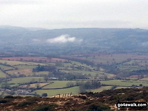
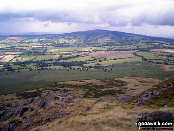
Send us your photographs and pictures on, of, or from Brown Clee Hill (Abdon Burf)
If you would like to add your walk photographs and pictures featuring views from, on or of Brown Clee Hill (Abdon Burf) to this page, please send them as email attachments (configured for any computer) along with your name to:
and we shall do our best to publish them.
(Guide Resolution = 300dpi. At least = 660pixels (wide) x 440 pixels (high).)

You can also submit photos via our Facebook Page.
NB. Please indicate where each photo was taken and whether you wish us to credit your photos with a Username or your First Name/Last Name.
Not familiar with this top?


