Walk c347 The Howgill Fells 2000ft'ers

All the Howgills 2000ft'ers - in the easiest order


Route outline for walk c347:

The Cross Keys  -  River Rawthey  -  Ben End  -  Yarlside  -  Kensgriff  -  Randygill Top  -  Bowderdale Beck  -  The Calf  -  Bush Howe  -  Fell Head (Howgills)  -  The Calf  -  Bram Rigg Top  -  Calders  -  Cautley Crag  -  Croonthard Brow  -  Cautley Holme Beck  -  River Rawthey  -  The Cross Keys


Peaks, Summits and Tops reached on this walk:

hewitt
5
English
Mountains
Wainwright
0
Wainwrights
 English Nuttalls
6
English
Nuttalls
Dewey
1
English
Dewey
Wainwright Outlying Fell
0
Wainwright
Outlying Fells
marilyn
2
Marilyns
Bridget
1
Bridget

Peak Bagging Statistics for this walk:

The highest point of this walk is The Calf at 676m (2218ft). The Calf is classified as an English Mountain (Hewitt) (118th highest in England, 201st highest in England & Wales)

The Calf is also known as an English Nuttall (157th highest in England, 268th highest in England & Wales) and an English Marilyn (37th highest in England, 642nd highest in the UK).

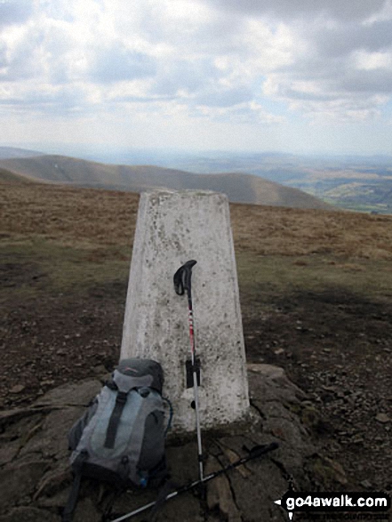
The summit of The Calf is marked by an Ordnance Survey Trig Point.

Completing this walk will also take you to the top of Calders at 675m (2216ft). Calders is classified as an English Mountain (Hewitt) (119th highest in England, 202nd highest in England & Wales)

Calders is also known as an English Nuttall (159th highest in England, 270th highest in England & Wales).

You will also reach the summit of Bram Rigg Top at 672m (2205ft). Bram Rigg Top is known as an English Bridget. Bram Rigg Top was demoted from 'Nuttall' status in November 2016. It is now classified as a 'Bridget'.

Along the way you will also bag:


You can find more walks near this one on these unique free-to-access Interactive Walk Planning Maps: (click/TAP to select)

The Yorkshire Dales National Park


1:25,000 scale OS Explorer Map (the ones with orange/yellow covers):

OL19 Howgill Fells and Upper Eden Valley


1:50,000 scale OS Landranger Maps (the ones with pink/magenta covers):

97 Kendal & Morecambe, Windermere & Lancaster


98 Wensleydale & Upper Wharfedale


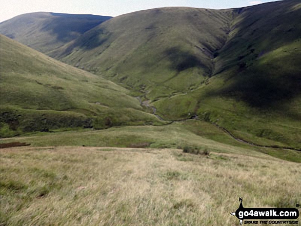
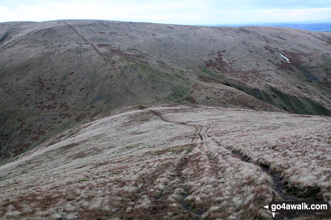
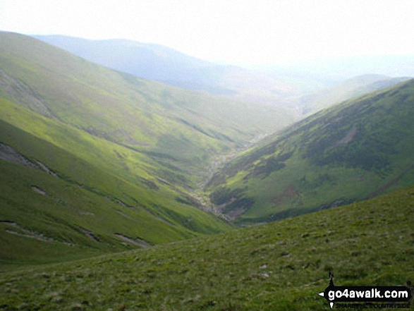
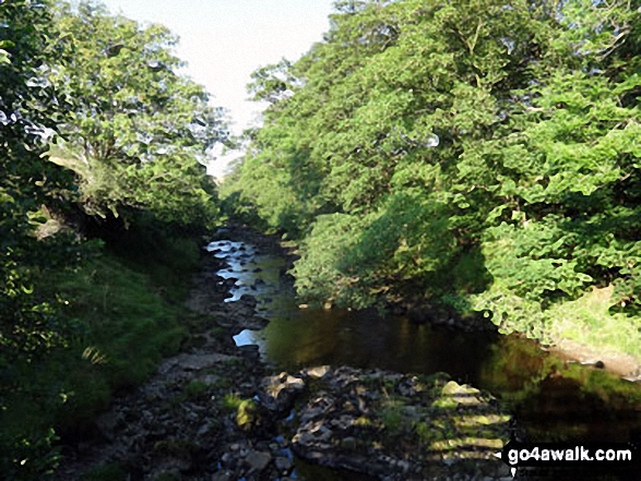
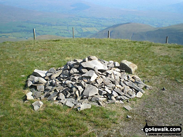
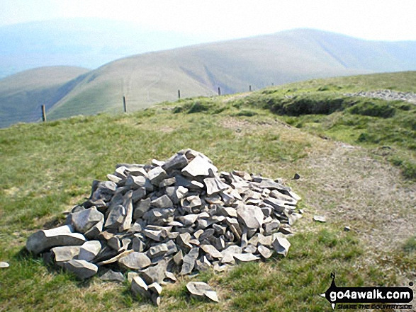
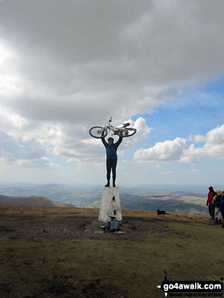
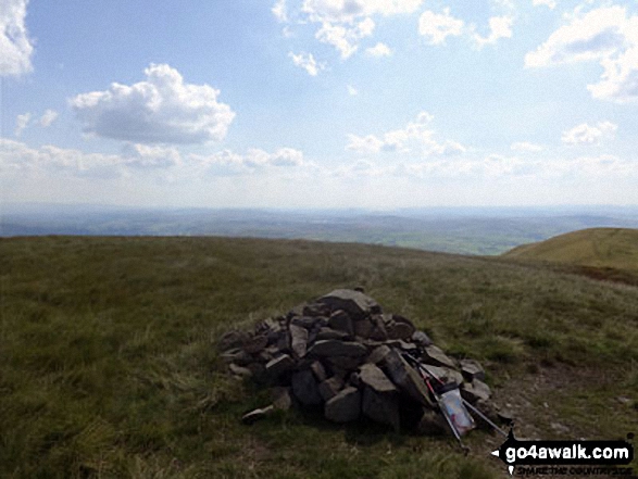
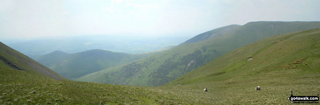
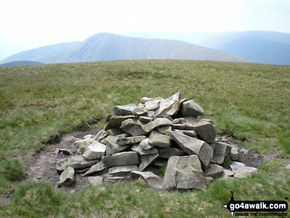
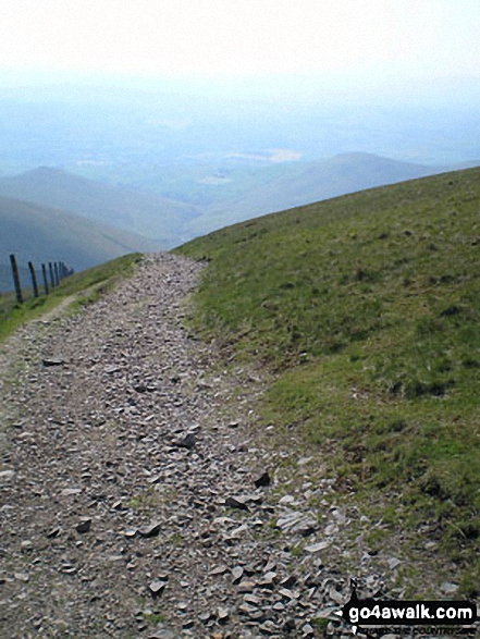
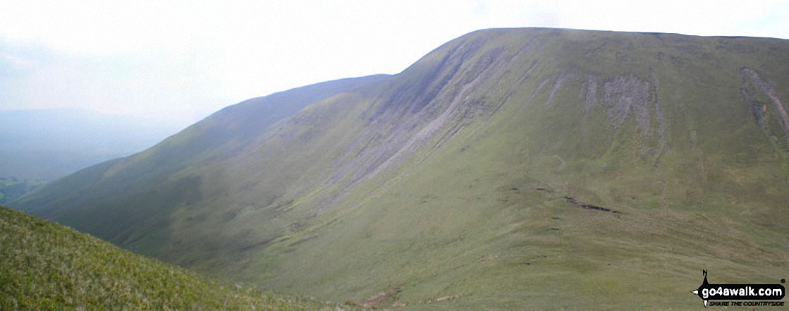
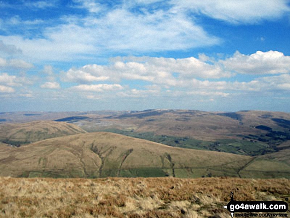
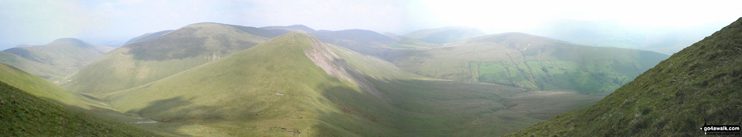
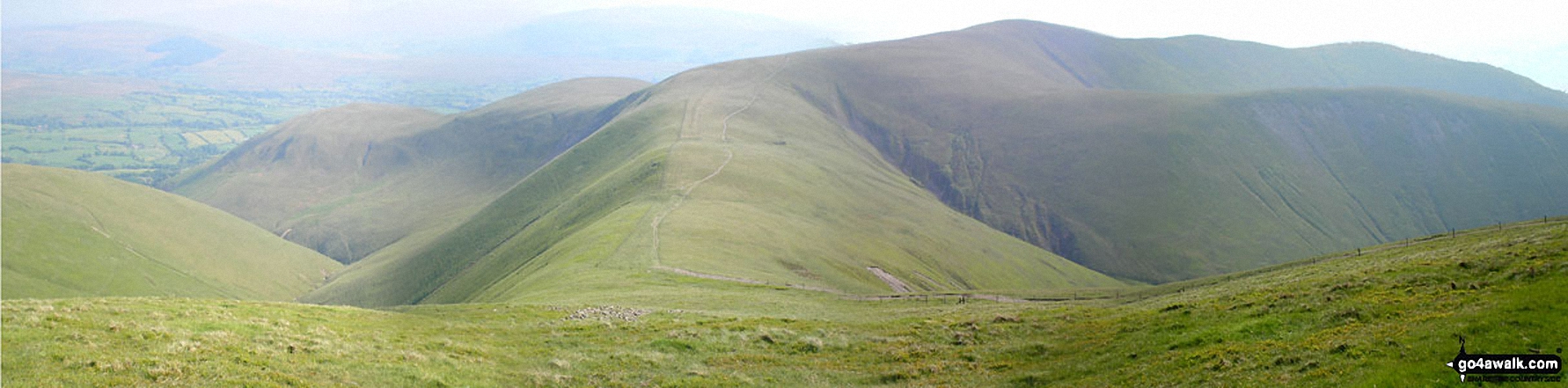
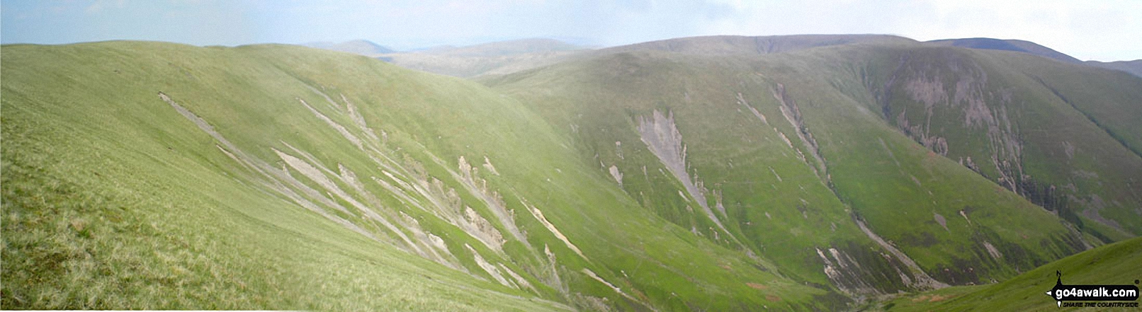
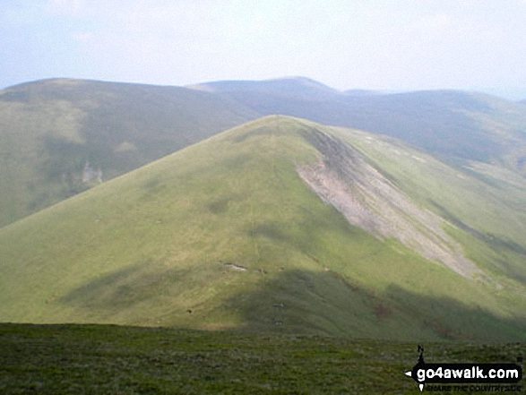
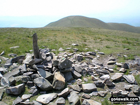
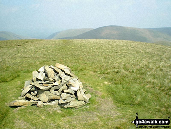
Some Photos and Pictures from Walk c347 The Howgill Fells 2000ft'ers

In no particular order . . .

Walk c347 The Howgill Fells 2000ft'ers - Yarlside summit cairn

Yarlside summit cairn

Photo: Graham Fleet (2)

Walk c347 The Howgill Fells 2000ft'ers - The River Rawthey

The River Rawthey

Photo: Jez England (4)

Walk c347 The Howgill Fells 2000ft'ers - Randygill Top summit cairn

Randygill Top summit cairn

Photo: Graham Fleet (9)

Walk c347 The Howgill Fells 2000ft'ers - The Calf summit trig point

The Calf summit trig point

Photo: Christine Shepherd (219)

Walk c347 The Howgill Fells 2000ft'ers - *Arant Haw from (just below) Calders summit

*Arant Haw from (just below) Calders summit

Photo: Andy Malcolm (3)

Walk c347 The Howgill Fells 2000ft'ers - Linghaw behind Fell Head (Howgills) from near The Calf

Linghaw behind Fell Head (Howgills) from near The Calf

Photo: Graham Fleet (11)

Walk c347 The Howgill Fells 2000ft'ers - Harter Fell from the River Rawthey Valley just south of Cautley

Harter Fell from the River Rawthey Valley just south of Cautley

Photo: Mike Knipe (98)

Walk c347 The Howgill Fells 2000ft'ers - The River Rawthey behind The Cross Keys near Sedburgh

The River Rawthey behind The Cross Keys near Sedburgh

Photo: Christine Shepherd (211)

Walk c347 The Howgill Fells 2000ft'ers - Cautley Spout from Yarlside

Cautley Spout from Yarlside

Photo: Mike Knipe (35)

Walk c347 The Howgill Fells 2000ft'ers - Long Rigg Beck valley from near Fell Head (Howgills)

Long Rigg Beck valley from near Fell Head (Howgills)

Photo: Graham Fleet (13)

Walk c347 The Howgill Fells 2000ft'ers - The cairn on the summit of Calders

The cairn on the summit of Calders

Photo: Christine Shepherd (685)

Walk c347 The Howgill Fells 2000ft'ers - The route off Breaks Head to Fell Head (Howgills)

The route off Breaks Head to Fell Head (Howgills)

Photo: Mark Davidson (96)

Walk c347 The Howgill Fells 2000ft'ers - The Calf trig point

The Calf trig point

Photo: Christine Shepherd (134)

Walk c347 The Howgill Fells 2000ft'ers - Cyclist (and bike) on The Calf trig point

Cyclist (and bike) on The Calf trig point

Photo: Christine Shepherd (135)

Walk c347 The Howgill Fells 2000ft'ers - Bram Rigg Top summit cairn

Bram Rigg Top summit cairn

Photo: Christine Shepherd (215)

Walk c347 The Howgill Fells 2000ft'ers - The cairn on the summit of Calders

The cairn on the summit of Calders

Photo: Christine Shepherd (133)

Walk c347 The Howgill Fells 2000ft'ers - Bush Howe summit cairn

Bush Howe summit cairn

Photo: Christine Shepherd (216)

Walk c347 The Howgill Fells 2000ft'ers - My walking buddy Tony on The Calf in The Howgills in late May!

My walking buddy Tony on The Calf in The Howgills in late May!

Photo: Billy Howson (1)

Walk c347 The Howgill Fells 2000ft'ers - Yarlside from The River Rawthey near Narthwaite Farm

Yarlside from The River Rawthey near Narthwaite Farm

Photo: Mike Knipe (99)

Walk c347 The Howgill Fells 2000ft'ers - The track back from the summit of Calders

The track back from the summit of Calders

Photo: David Chesworth (4)


. . . load all 61 walk photos from Walk c347 The Howgill Fells 2000ft'ers


Send us your photographs and pictures from your walks and hikes

We would love to see your photographs and pictures from walk c347 The Howgill Fells 2000ft'ers. Send them in to us as email attachments (configured for any computer) along with your name and where the picture was taken to:

and we shall do our best to publish them.

(Guide Resolution = 300dpi. At least = 660 pixels (wide) x 440 pixels (high).)

Send us your walking and hiking photographs and pictures from walk c347 The Howgill Fells 2000ft'ers via Facebook

You can also submit photos from walk c347 The Howgill Fells 2000ft'ers via our Facebook Page.

NB. Please indicate where each photo was taken.


Do not miss our pick of the Best Walks in the UK


Follow go4awalk.com on Twitter Follow go4awalk.com on Facebook


Find new Friends to go walking with

Walk all 214 Wainwrights in just 59 Walks. Download GPS Waypoints - Great Walks you must not miss!

Walk The Yorkshire Three Peaks Challenge Walk - All the Latest Route Information, GPS Waypoints and Split Times to keep you on Schedule

Walk The British Three Peaks Challenge Walk - All the Latest Route Information and GPS Waypoints

See our pick of The Best Walks in The Lake District - Great Walks you must not miss!

Walk our pick of the Best Lake District Ridge Walks - Great Walks you must not miss!

Walk our pick of the Best Lake District Walks to do in the rain - Great Walks you must not miss!

Walk our pick of The Best Walks in Snowdonia - Great Walks you must not miss!

Walk our pick of The Best Ridge Walks in Wales - Walks you must not miss!

Walk our pick of The Best Walks in The Brecon Beacons - Great Walks you must not miss!

Walk our pick of The Best Walks in The Yorkshire Dales - Walks you must not miss!

Walk our pick of The Best Walks in The Peak District - Walks you must not miss!

Walk our pick of The Best Walks in The Forest of Bowland - Walks you must not miss!

Walk our pick of The Best Walks in Shropshire - Walks you must not miss!

Walk our pick of The Best Walks in Cheshire - Walks you must not miss!

Walk our pick of The Best Walks in Lancashire - Walks you must not miss!

Not sure where to walk next? Try Peak Bagging - Great Walks you must not miss!

Not sure where to walk next? Walk part of a National Trail - Great Walks you must not miss!

Walks with Downloadable and Uploadable GPS Waypoint Data

Walking Kit and Gear Tested by Walkers

Full Site Search