   |
Vital Statistics:
| Length: | 7¼mls (11.5km) |
| Ascent: | 1,247ft (380m) |
| Time: | 3¾hrs |
| Grade: |  |
Route outline for walk c104:
Windermere - Orrest Head - Moorhowe - Dubbs Road - Garburn Road - Longmire Road - Far Orrest Farm - Orrest Head - Windermere
Peaks, Summits and Tops reached on this walk:
 0 English Mountains |
 0 Wainwrights |
 0 English Nuttalls |
 0 English Deweys |
 1 Wainwright Outlying Fells |
 0 Marilyns |
 0 Bridgets |
Peak Bagging Statistics for this walk:
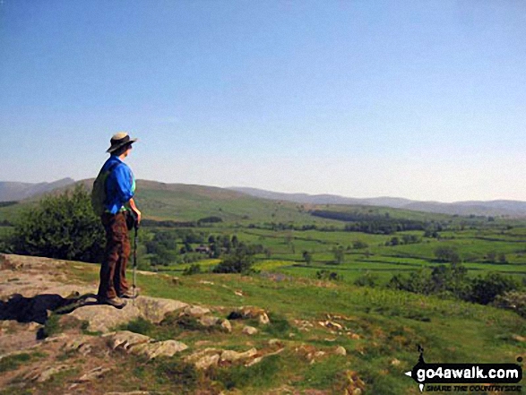
The highest point of this walk is Orrest Head at 238m (781ft). Orrest Head is also known as an Wainwright Outlying Fell (No. 97)
You can find this walk and other nearby walks on these unique free-to-access Interactive Walk Planning Maps:
1:25,000 scale OS Explorer Map (orange/yellow covers):
1:50,000 scale OS Landranger Maps (pink/magenta covers):
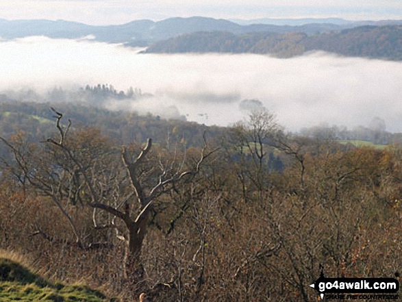
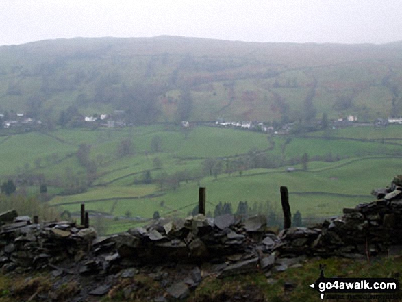
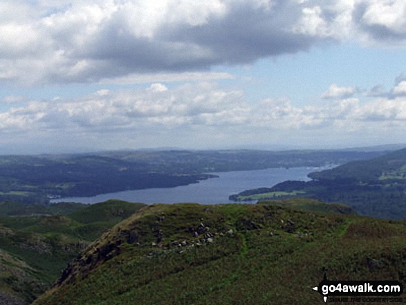
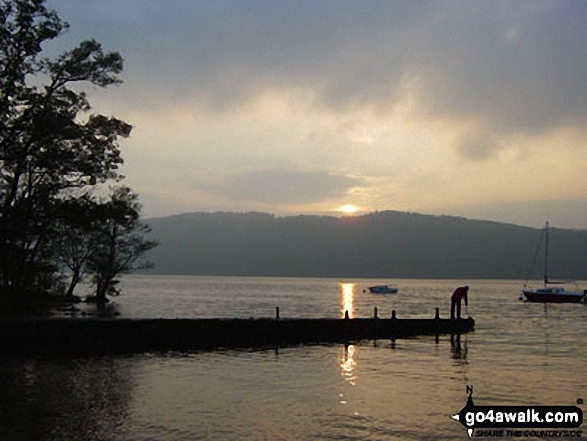
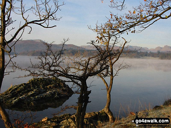
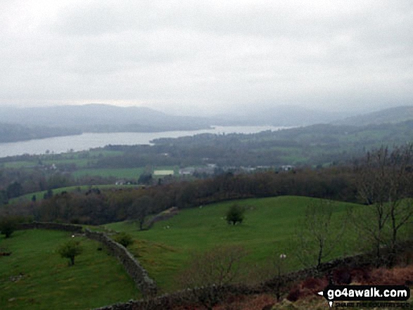
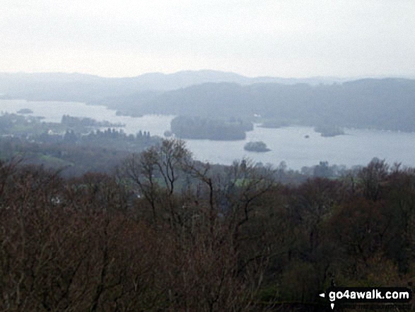
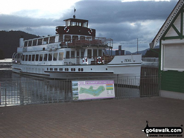
Some Photos and Pictures from Walk c104 Orrest Head and Troutbeck from Windermere
In no particular order . . .
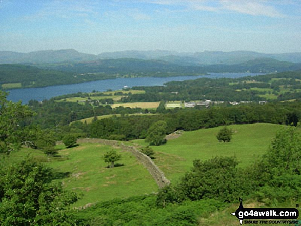
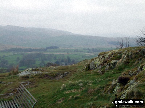
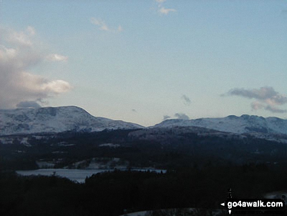
Stony Cove Pike (Caudale Moor) (left), Thornthwaite Crag, Froswick, Ill Bell and Yoke (right) from Garburn Road near Troutbeck Park
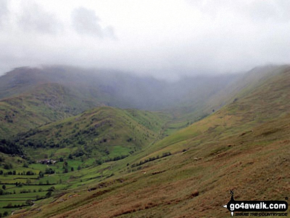
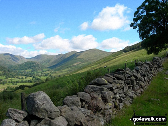
Troutbeck Tongue from Garburn Road with Stony Cove Pike and Thornthwaite Crag beyond covered in cloud
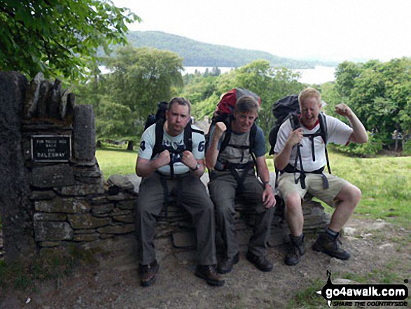
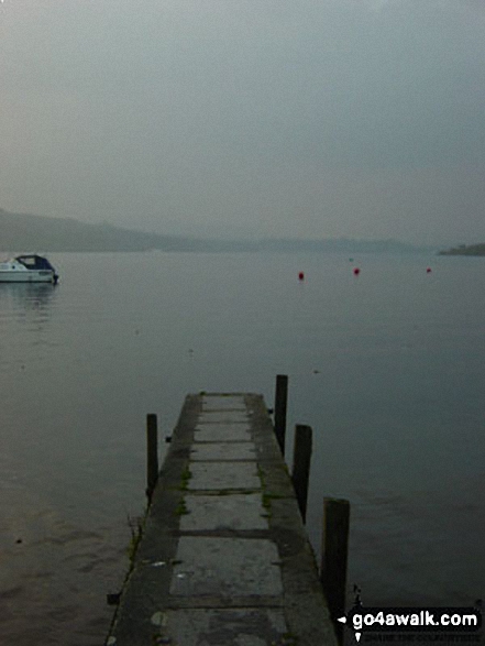
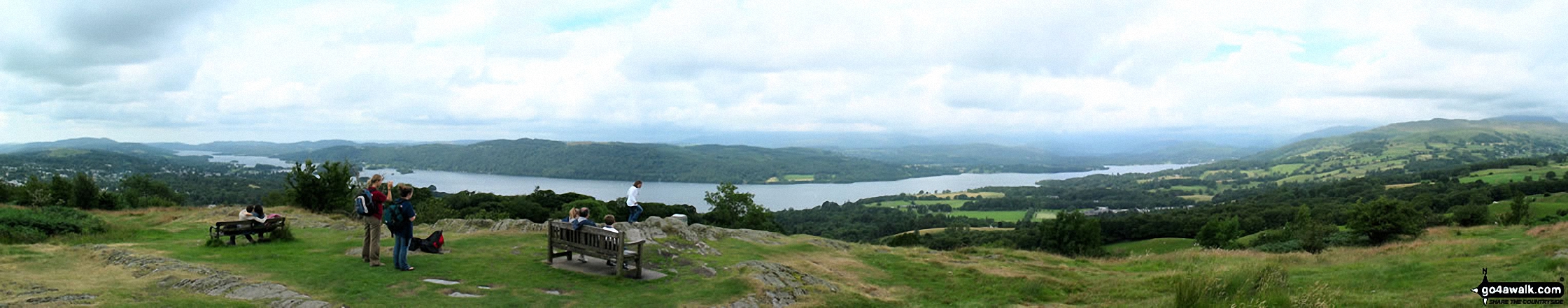
Iain, Tim and I finishing the mammoth 80 odd mile Dales Way walk at Windermere on the finishing seat

. . . load all 24 walk photos from Walk c104 Orrest Head and Troutbeck from Windermere
Send us your photographs and pictures from your walks and hikes
We would love to see your photographs and pictures from walk c104 Orrest Head and Troutbeck from Windermere. Send them in to us as email attachments (configured for any computer) along with your name and where the picture was taken to:
and we shall do our best to publish them.
(Guide Resolution = 300dpi. At least = 660 pixels (wide) x 440 pixels (high).)

You can also submit photos from walk c104 Orrest Head and Troutbeck from Windermere via our Facebook Page.
NB. Please indicate where each photo was taken.


