   |
Vital Statistics:
| Length: | 8¾mls (14km) |
| Ascent: | 2,192ft (688m) |
| Time: | 5½hrs |
| Grade: |  |
Route outline for walk d186:
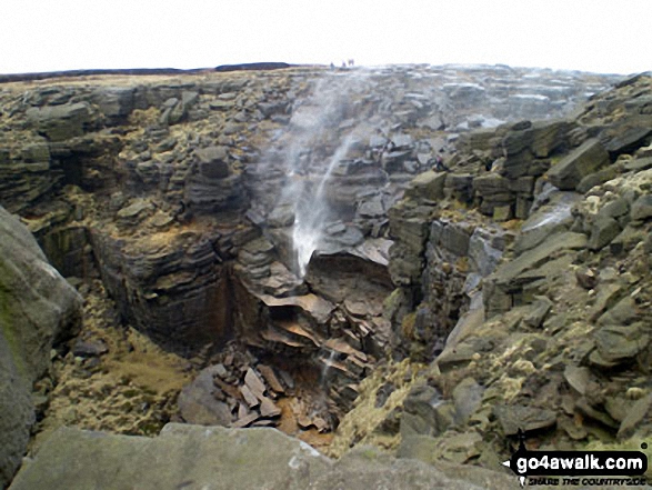
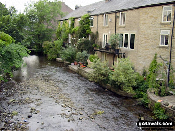
Bowden Bridge - Hayfield - Booth Sheepwash - White Brow - Kinder Reservoir - Nab Brow - William Clough - Ashop Head - Mill Hill (Ashop Head) - The Pennine Way - Kinder Scout - The Edge (Kinder Scout) - Kinder Downfall - Red Brook - Cluther Rocks - Kinder Low (Kinder Scout) - Edale Cross - Kinderlow End - Oaken Clough - Tunstead House Farm - Bowden Bridge - Hayfield
Peaks, Summits and Tops reached on this walk:
 1 English Mountain |
 0 Wainwrights |
 1 English Nuttall |
 1 English Dewey |
 0 Wainwright Outlying Fells |
 1 Marilyn |
 2 Bridgets |
Peak Bagging Statistics for this walk:
The highest point of this walk is Kinder Scout at 636m (2087ft). Kinder Scout is classified as an English Mountain (Hewitt) (156th highest in England, 265th highest in England & Wales)
Kinder Scout is also known as an English Nuttall (207th highest in England, 356th highest in England & Wales) and an English Marilyn (47th highest in England, 710th highest in the UK).
Kinder Scout is the highest point in The Peak District National Park and the highest point in the county of Derbyshire.
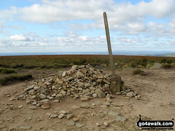
Completing this walk will also take you to the top of Kinder Low (Kinder Scout) at 633m (2078ft). Kinder Low (Kinder Scout) is known as an English Bridget. The summit of Kinder Low (Kinder Scout) is marked by an Ordnance Survey Trig Point.
You will also reach the summit of The Edge (Kinder Scout) at 624m (2048ft). The Edge (Kinder Scout) is known as an English Bridget. The summit of The Edge (Kinder Scout) is marked by an Ordnance Survey Trig Point.
Along the way you will also bag:
- Mill Hill (Ashop Head) at 544m (1785ft). Mill Hill (Ashop Head) is classified as an English Dewey (86th highest in England, 197th highest in England & Wales).
National Trails & Long Paths included on this walk:
Part of this walk follows a section of The Pennine Way, a 404km (251 miles) linear footpath connecting Edale in Derbyshire, England with Kirk Yetholm in The Borders, Scotland. The Pennine Way is waymarked by a National Trail Acorn. For more walks that include a section of this trail see The Pennine Way.
You can find this walk and other nearby walks on these unique free-to-access Interactive Walk Planning Maps:
1:25,000 scale OS Explorer Map (orange/yellow covers):
1:50,000 scale OS Landranger Map (pink/magenta covers):
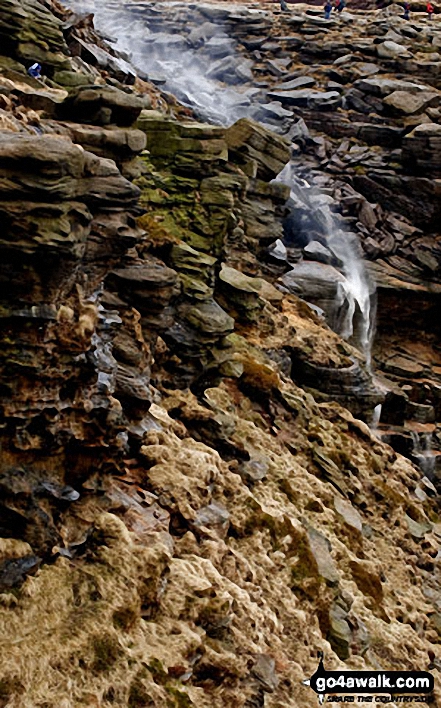
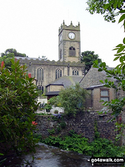
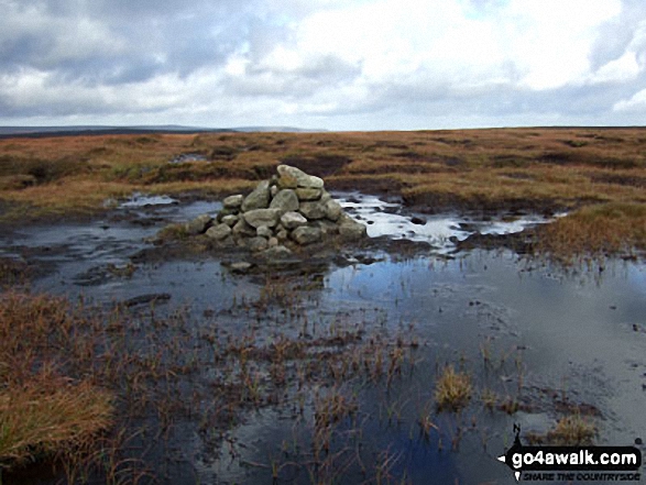
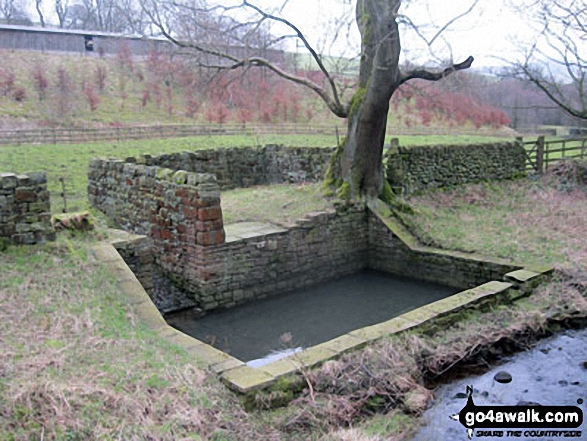
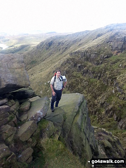
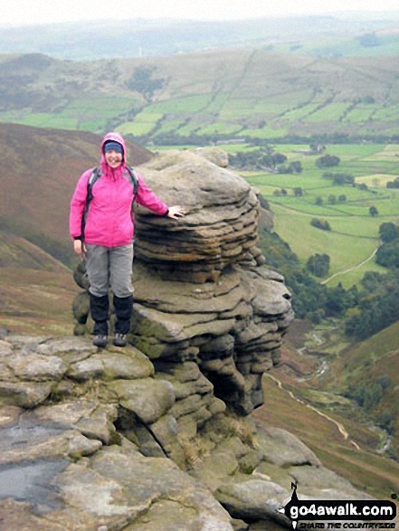
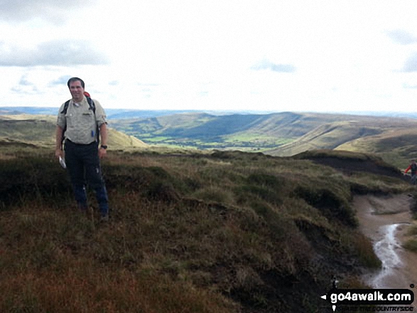
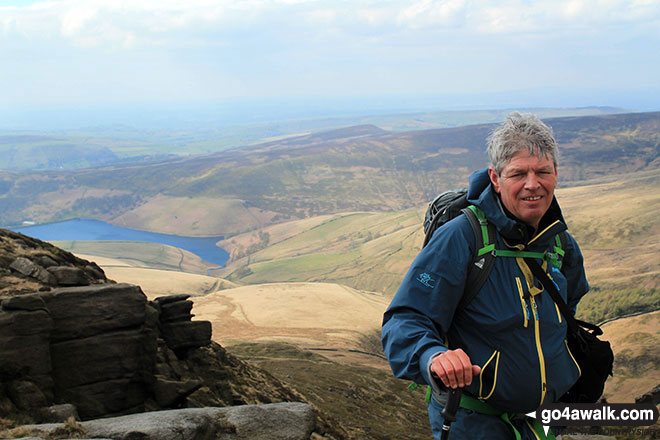
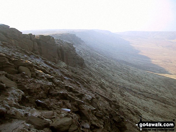
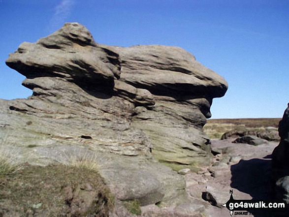
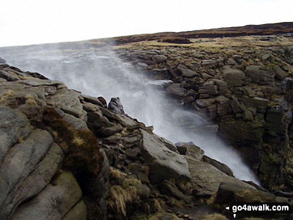
Some Photos and Pictures from Walk d186 Kinder Scout and Kinder Downfall from Bowden Bridge, Hayfield
In no particular order . . .
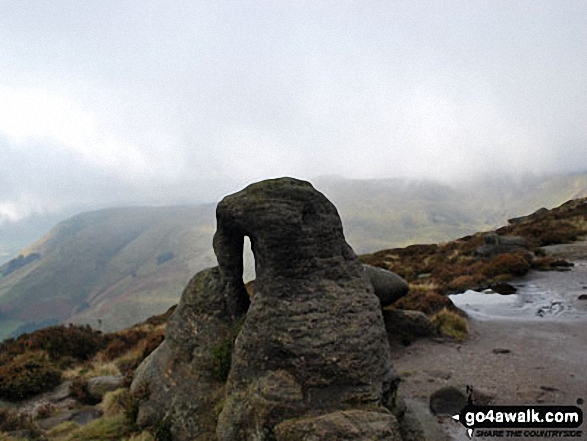
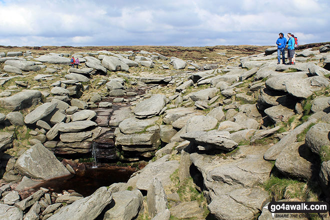
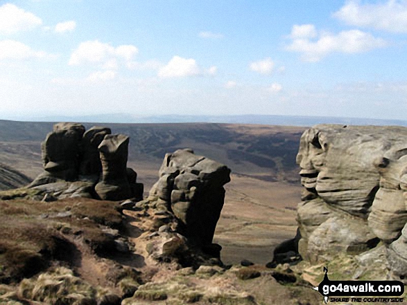
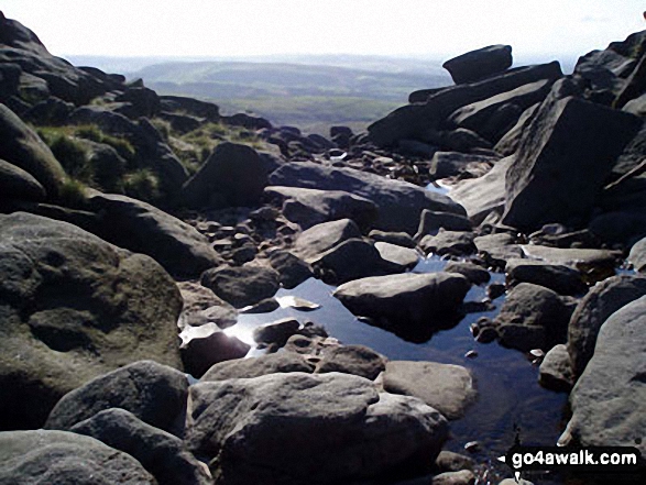
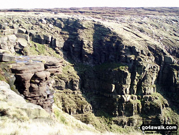
Rock formations on the northern edge of Kinder Scout with Featherbed Moss over Black Ashop Moor in the background.
Send us your photographs and pictures from your walks and hikes
We would love to see your photographs and pictures from walk d186 Kinder Scout and Kinder Downfall from Bowden Bridge, Hayfield. Send them in to us as email attachments (configured for any computer) along with your name and where the picture was taken to:
and we shall do our best to publish them.
(Guide Resolution = 300dpi. At least = 660 pixels (wide) x 440 pixels (high).)

You can also submit photos from walk d186 Kinder Scout and Kinder Downfall from Bowden Bridge, Hayfield via our Facebook Page.
NB. Please indicate where each photo was taken.


