   |
Vital Statistics:
| Length: | 6mls (9.5km) |
| Ascent: | 2,192ft (668m) |
| Time: | 5hrs |
| Grade: |  |
Route outline for walk c177:
Ambleside - Stockghyll Force - Wansfell Pike - Baystones (Wansfell) - The Hundreds - Nanny Lane - Troutbeck - Robin Lane - High Skelghyll Farm - Skelghyll Wood - Jenkin Crag - Ambleside
Peaks, Summits and Tops reached on this walk:
 0 English Mountains |
 1 Wainwright |
 0 English Nuttalls |
 0 English Deweys |
 0 Wainwright Outlying Fells |
 0 Marilyns |
 1 Bridget |
Peak Bagging Statistics for this walk:
The highest point of this walk is Baystones (Wansfell) at 488m (1601ft). Baystones (Wansfell) is classified as an Wainwright (No. 177).
Completing this walk will also take you to the top of Wansfell Pike at 482m (1582ft). Wansfell Pike is known as an English Bridget.
You can find this walk and other nearby walks on these unique free-to-access Interactive Walk Planning Maps:
1:25,000 scale OS Explorer Map (orange/yellow covers):
1:50,000 scale OS Landranger Map (pink/magenta covers):
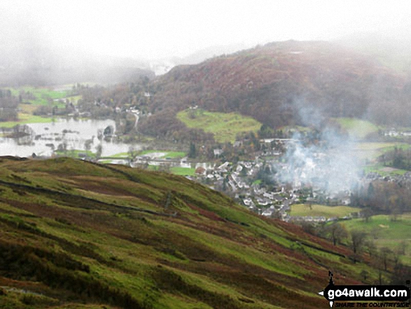
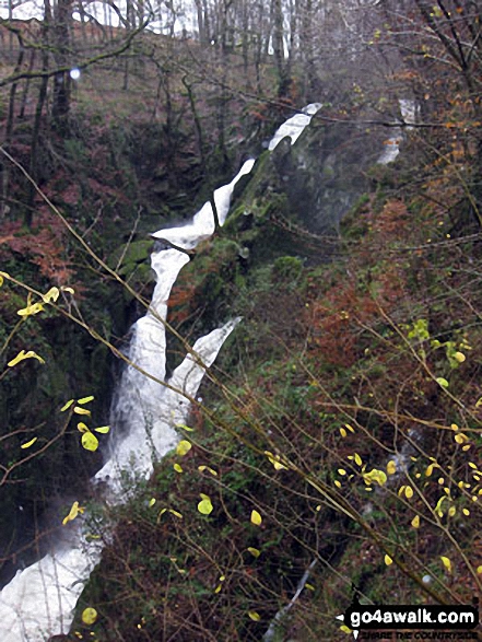
Some Photos and Pictures from Walk c177 Baystones and Wansfell Pike from Ambleside
In no particular order . . .
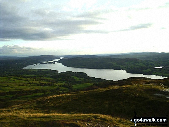
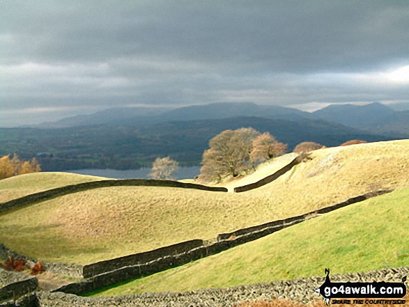
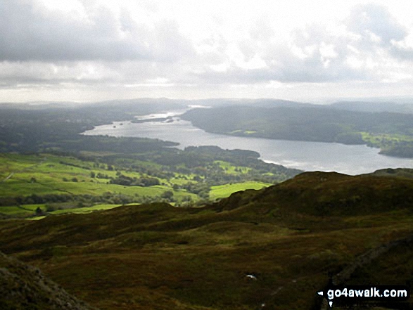
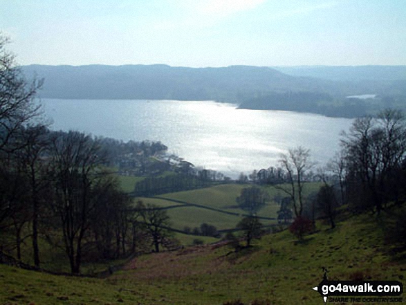
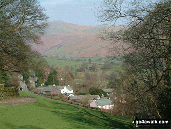
Winderemere reaching into the town of Ambleside (and cutting it off) from Wansfell Pike
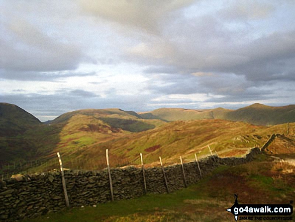
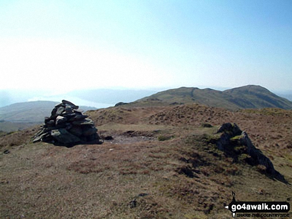
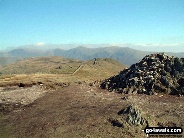
Red Screes (left), Thornthwaite Crag, Froswick, Ill Bell and Yoke from Baystones (Wansfell)
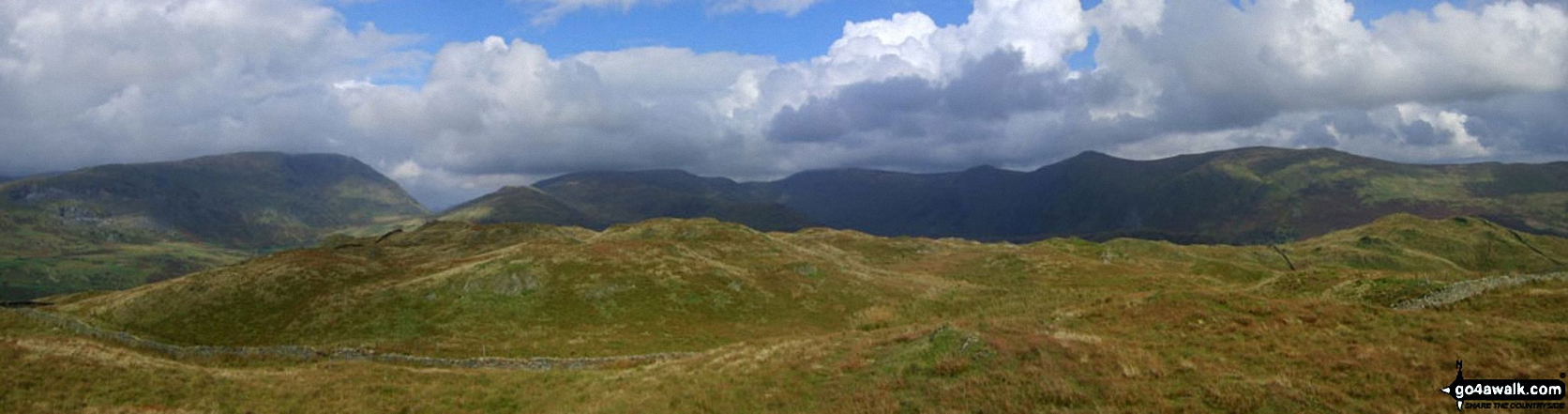
*Baystones (Wansfell) in the foreground with Red Screes (left), Stony Cove Pike (Caudale Moor), Thornthwaite Crag and the Froswick, Ill Bell, Yoke ridge silhouetted on the skyline from Wansfell Pike
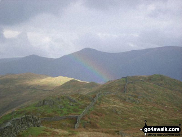
Looking north to Baystones with Thornthwaite Crag (left) and Ill Bell (centre) beyond from Wansfell Pike as the sun catches a passing shower
. . . load all 25 walk photos from Walk c177 Baystones and Wansfell Pike from Ambleside
Send us your photographs and pictures from your walks and hikes
We would love to see your photographs and pictures from walk c177 Baystones and Wansfell Pike from Ambleside. Send them in to us as email attachments (configured for any computer) along with your name and where the picture was taken to:
and we shall do our best to publish them.
(Guide Resolution = 300dpi. At least = 660 pixels (wide) x 440 pixels (high).)

You can also submit photos from walk c177 Baystones and Wansfell Pike from Ambleside via our Facebook Page.
NB. Please indicate where each photo was taken.


