
![]()
Cracoe Fell
507m (1663ft)
The Southern Dales Area, The Yorkshire Dales, North Yorkshire, England England
Tap/mouse over a coloured circle (1-3 easy walks, 4-6 moderate walks, 7-9 hard walks) and click to select.
The summit of Cracoe Fell is marked by an Ordnance Survey Trig Point.
Not familiar with this top?
   |
|---|
Vital Statistics:
| Length: | 12ml (19km) |
|---|---|
| Ascent: | 2,099ft (640m) |
| Time: | 6½ hrs |
| Grade: |  (Moderate) (Moderate) |
Route Summary:
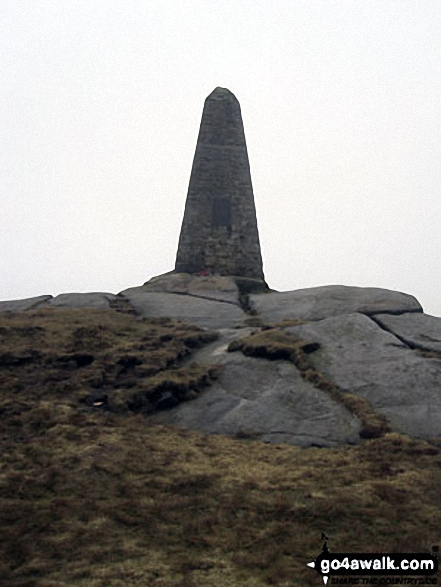
Embsay - Embsay Reservoir - Embsay Moor - Crookrise Crag Top - Waterfall Gill Beck - Rylstone Fell - Rylstone Cross - Watt Crag - Cracoe Fell - Cracoe War Memorial Cross Obelisk - Thorpe Fell Top - Upper Barden Reservoir - Embsay
See Cracoe Fell and the surrounding tops on our free-to-access 'Google Style' Peak Bagging Maps:
The Southern Dales Area of The Yorkshire Dales National Park
Less data - quicker to download
The Whole of The Yorkshire Dales National Park
More data - might take a little longer to download
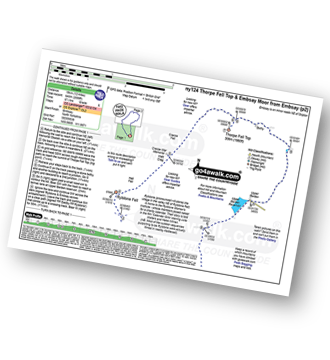
See Cracoe Fell and the surrounding tops on our downloadable Peak Bagging Map in PDF format:

NB: Whether you print off a copy or download it to your phone, this PDF Peak Baggers' Map might prove incredibly useful when your are up there on the tops and you cannot get a phone signal.
You can find Cracoe Fell & all the walks that climb it on these unique free-to-access Interactive Walk Planning Maps:
1:25,000 scale OS Explorer Map (orange/yellow covers):
1:50,000 scale OS Landranger Map (pink/magenta covers):
 Fellow go4awalkers who have already walked, climbed, summited & bagged Cracoe Fell
Kevin Foster walked up Cracoe Fell on March 28th, 2022 [from/via/route] Embsay Reservoir. [with] By myself. [weather] Cloudy morning, with light mist then sunny afternoon. - 12 mile circuit of Embsay moor.
Mark Davidson climbed Cracoe Fell on June 7th, 2005 [with] Alone [weather] Lovely & sunny - fantastic day.
Tony Rogerson bagged Cracoe Fell on April 8th, 2011 [from/via/route] From Thorpe [weather] Sunny
Darren Mortimer hiked Cracoe Fell on March 1st, 2014 [from/via/route] Embsay [with] Dermot Palmer & Graham Panton [weather] sunny
Christine Shepherd summited Cracoe Fell on March 9th, 2014 [from/via/route] Walked from Embsay using walk ny124 [with] On my own [weather] A pleasant spring day;hazy but dry & mild
Chris Lund conquered Cracoe Fell on August 29th, 2013 [from/via/route] route ny124, Thorpe Fell from Embsay [with] Sophie [weather] Sunny day, very warm below low cloud cover - Pub in Embsay shuts at 3 mid-week, beware, only just got there at 2.50pm
Paul Booth and Patrick Rogozinski have both walked, climbed & bagged Cracoe Fell.
To add (or remove) your name and experiences on this page - Log On and edit your Personal Mountain Bagging Record
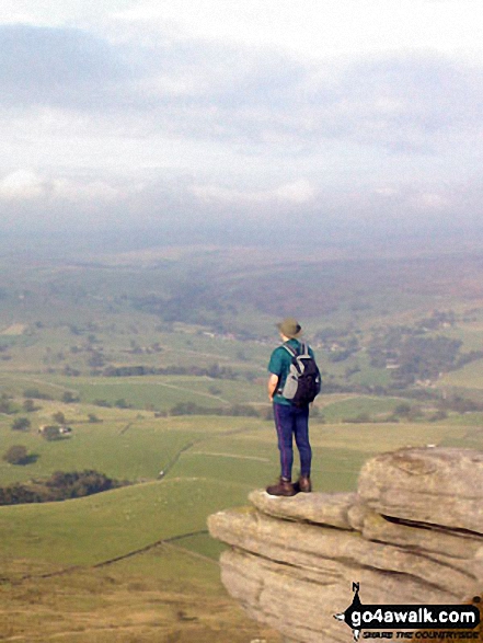
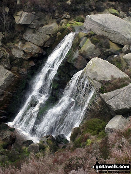
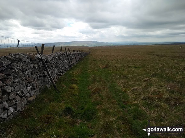
More Photographs & Pictures of views from, on or of Cracoe Fell
Send us your photographs and pictures on, of, or from Cracoe Fell
If you would like to add your walk photographs and pictures featuring views from, on or of Cracoe Fell to this page, please send them as email attachments (configured for any computer) along with your name to:
and we shall do our best to publish them.
(Guide Resolution = 300dpi. At least = 660pixels (wide) x 440 pixels (high).)

You can also submit photos via our Facebook Page.
NB. Please indicate where each photo was taken and whether you wish us to credit your photos with a Username or your First Name/Last Name.
Not familiar with this top?


