Walk bo114 Lightning Hill, Wether Law (Teviothead), Tudhope Hill and Dod Hill from Linhope Farm
This 8¾ mile, Grade 6 (Moderate), easy-to-follow, hand-crafted walk, complete with GPS Waypoints, starts at Linhope Farm & will take about 6 hrs to complete.
   |
Vital Statistics:
| Length: | 8¾mls (14km) |
| Ascent: | 2,793ft (851m) |
| Time: | 6hrs |
| Grade: |  |
Route outline for walk bo114:
Linhope Farm - Lightning Hill - Wether Law (Teviothead) - Crummiecleuch Rig - Millstone Edge (Tudhope Hill) - Tudhope Hill - Little Tudhope Hill - Sunhope Hass - Carlin Tooth (Teviothead) - Bye Hill - Dod Hill (Teviothead) - Linhope Burn - Linhope Farm
Peaks, Summits and Tops reached on this walk:
 0 Munros |
 0 Corbetts |
 0 Grahams |
 0 Murdos |
 0 Donalds |
 0 Scottish Marilyns |
 3 Bridgets |
Peak Bagging Statistics for this walk:
The highest point of this walk is Tudhope Hill at 599m (1966ft). Tudhope Hill is known as a Scottish Bridget. The summit of Tudhope Hill is marked by an Ordnance Survey Trig Point.
Completing this walk will also take you to the top of Wether Law (Teviothead) at 509m (1671ft). Wether Law (Teviothead) is known as a Scottish Bridget. The summit of Wether Law (Teviothead) is unmarked.
You will also reach the summit of Dod Hill (Teviothead) at 495m (1625ft). Dod Hill (Teviothead) is known as a Scottish Bridget. The summit of Dod Hill (Teviothead) is unmarked.
Along the way you will also bag and tick-off:
- Lightning Hill at 487m (1598ft). Lightning Hill is Unclassified The summit of Lightning Hill is unmarked.
You can find this walk and other nearby walks on these unique Interactive Walk Planning Maps:
(worth a look if you're new to go4awalk.com & have never seen one of these before.)
1:25,000 scale OS Explorer Maps (orange/yellow covers):
An Interactive Walk Planning Map for OS Explorer 331 Teviotdale South is not currently available
1:50,000 scale OS Landranger Map (pink/magenta covers):
Some Photos and Pictures from Walk bo114 Lightning Hill, Wether Law (Teviothead), Tudhope Hill and Dod Hill from Linhope Farm
In no particular order . . .
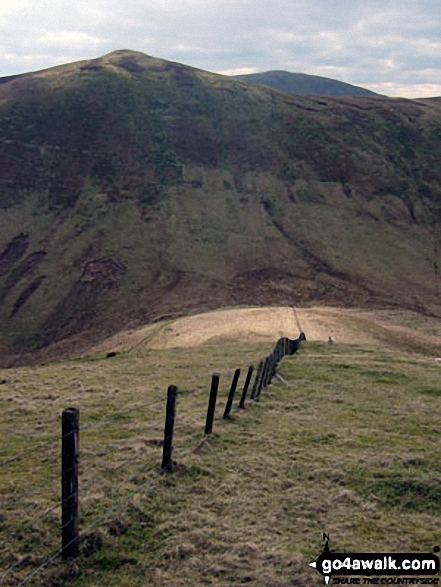
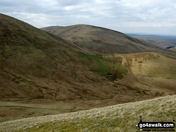
Carlin Tooth (Teviothead), Ellson Fell (behind) and Sunhope Hass (below)
from Little Tudhope Hill
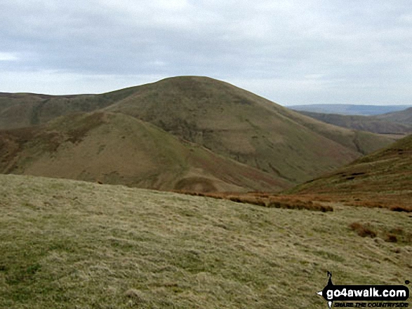
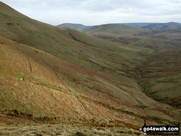
Little Tudhope Hill , Tudhope Hill and Sunhope Hass from Dod Hill (Teviothead)
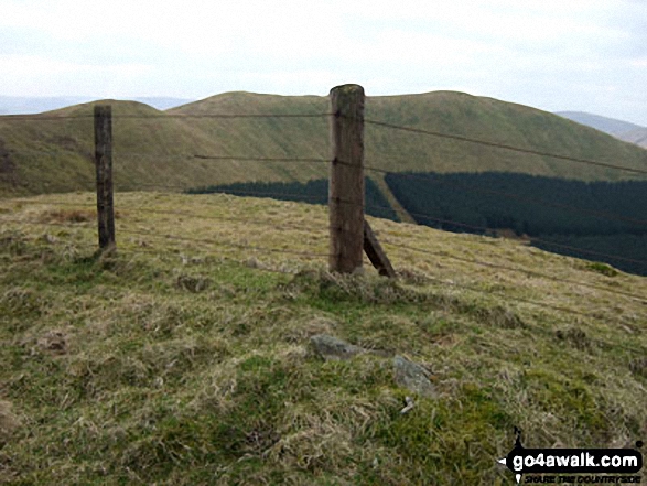
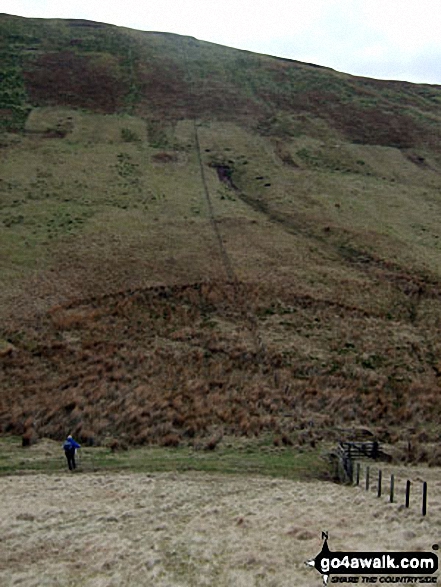
The shoulder of Carlin Tooth (Teviothead) with Comb Hill (Langhope Height)
beyond from Little Tudhope Hill

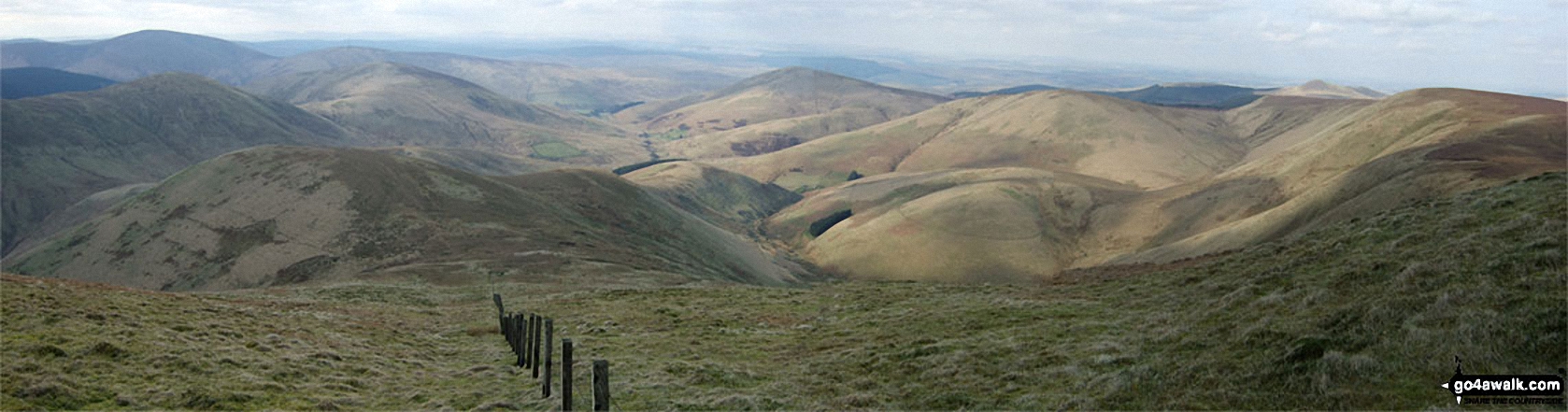
Cauldcleuch Head, Muckle Land Knowe and Crossbow Hill from Millstone Edge (Tudhope Hill)
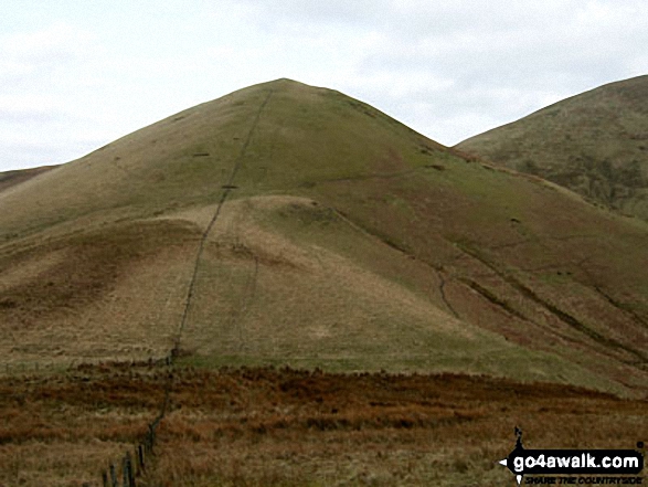
Wisp Hill (Teviothead), Dod Hill (Teviothead), Little Tudhope Hill, Comb Hill (Langhope Height), Lightning Hill, Wether Law (Teviothead) and Skelfhill Pen from Tudhope Hill summit

Send us your photographs and pictures from your walks and hikes
We would love to see your photographs and pictures from walk bo114 Lightning Hill, Wether Law (Teviothead), Tudhope Hill and Dod Hill from Linhope Farm. Send them in to us as email attachments (configured for any computer) along with your name and where the picture was taken to:
and we shall do our best to publish them.
(Guide Resolution = 300dpi. At least = 660 pixels (wide) x 440 pixels (high).)

You can also submit photos from walk bo114 Lightning Hill, Wether Law (Teviothead), Tudhope Hill and Dod Hill from Linhope Farm via our Facebook Page.
NB. Please indicate where each photo was taken.

To contribute to go4awalk.com or to contact us about anything at all - see Talk To Us.
For help see Help.
go4awalk.com and go4awalk.co.uk are registered trademarks of TMDH Limited.
Copyright © 2000-2026 TMDH Limited. All rights reserved.
Copyright Terms & Conditions Privacy Statement
A - Z Walks Home Log On/Accounts Photo Gallery Walk Ideas and Collections Fell Facts Hill Skills Walking Questions and Answers Your Stories News Competitions Product Reviews/Gear Tests Walking Gear Guides Peaks and Mountains Peak Bagging Find New Walking Friends Camping GPS Waypoints for Walking Contents Walk Search Talk To Us go4awalk.com Help Free Example Walks Newsletter


