   |
Vital Statistics:
| Length: | 1¾mls (17km) |
| Ascent: | 1,533ft (467m) |
| Time: | 5½hrs |
| Grade: |  |
Route outline for walk wy110:
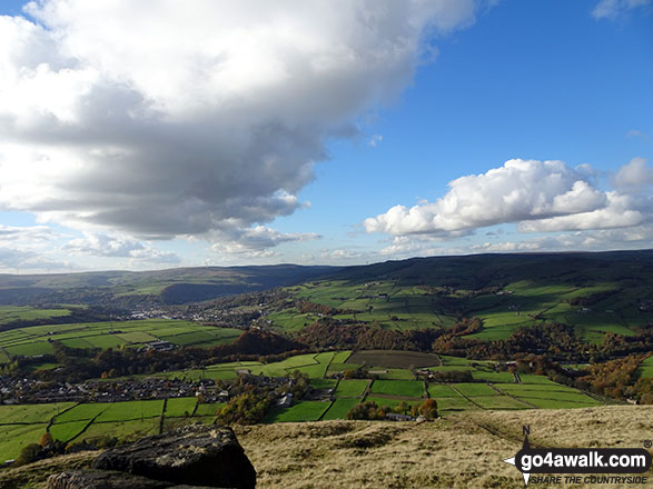
Todmorden - Lobb Mill Picnic Area - Stoodley Pike - The Pennine Way - Withins Gate - Warlands Reservoir - Warland - Rochdale Canal - Todmorden - Hebden Bridge - Lobb Mill Picnic Area - Todmorden
Peaks, Summits and Tops reached on this walk:
 0 English Mountains |
 0 Wainwrights |
 0 English Nuttalls |
 0 English Deweys |
 0 Wainwright Outlying Fells |
 0 Marilyns |
 1 Bridget |
Peak Bagging Statistics for this walk:
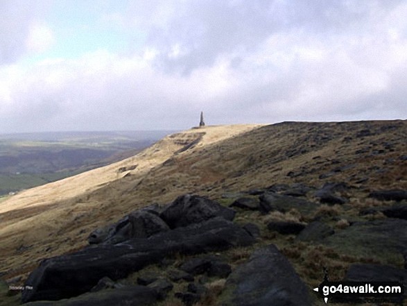
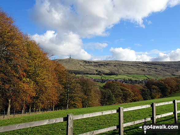
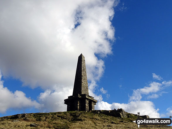
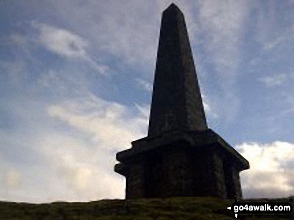
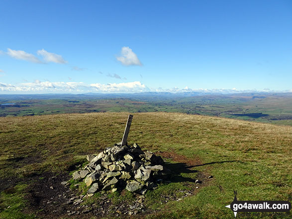
The highest point of this walk is Stoodley Pike at 401m (1316ft). Stoodley Pike is known as an English Bridget.
National Trails & Long Paths included on this walk:
Part of this walk follows a section of The Pennine Way, a 404km (251 miles) linear footpath connecting Edale in Derbyshire, England with Kirk Yetholm in The Borders, Scotland. The Pennine Way is waymarked by a National Trail Acorn. For more walks that include a section of this trail see The Pennine Way.
You can find this walk and other nearby walks on these unique free-to-access Interactive Walk Planning Maps:
1:25,000 scale OS Explorer Map (orange/yellow covers):
1:50,000 scale OS Landranger Map (pink/magenta covers):
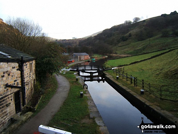
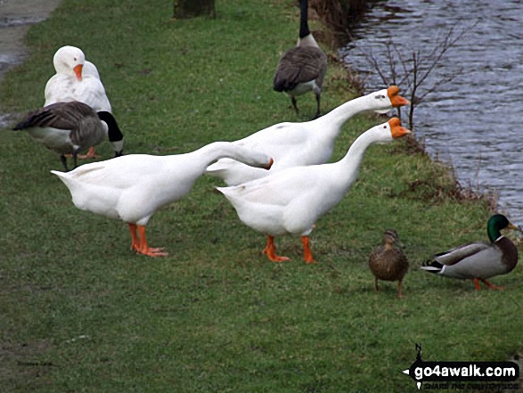
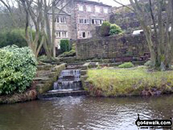
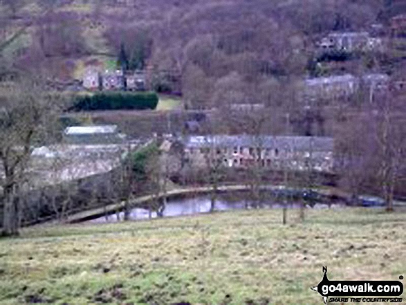
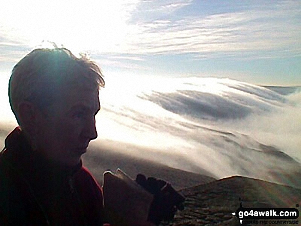
Some Photos and Pictures from Walk wy110 Stoodley Pike and Warlands Reservoir from Lobb Mil, Todmorden
In no particular order . . .
Send us your photographs and pictures from your walks and hikes
We would love to see your photographs and pictures from walk wy110 Stoodley Pike and Warlands Reservoir from Lobb Mil, Todmorden. Send them in to us as email attachments (configured for any computer) along with your name and where the picture was taken to:
and we shall do our best to publish them.
(Guide Resolution = 300dpi. At least = 660 pixels (wide) x 440 pixels (high).)

You can also submit photos from walk wy110 Stoodley Pike and Warlands Reservoir from Lobb Mil, Todmorden via our Facebook Page.
NB. Please indicate where each photo was taken.


