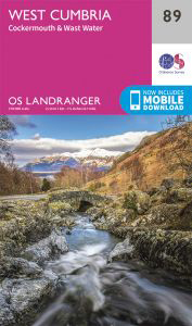
Unique Interactive Walk Planning Map of:
OS Landranger Map 89 West Cumbria, Cockermouth & Wast Water
Mouse over a Coloured Circle to find a walk (Grades: 1-3 easy, 4-6 moderate, 7-9 hard),
Click to Select and see more details in the left-hand column.
To Download the Walk Map & Route Instructions, GPX and/or GPS files click on the 'Download Walk', 'Download GPX' & 'Download GPS' icons in the left-hand column.
To see a larger version of this unique interactive walking map - click here.
To see a larger version of this unique interactive walking map - click here.
 All of our unique go4awalk.com Interactive Walk Planning Maps currently available:
 |
Map showing all Interactive OS Explorer Walk Planning Maps (Orange Covers) currently available. |
|---|
 |
Map showing all Interactive OS Landranger Walk Planning Maps (Pink Covers) currently available. |
|---|
 |
The Brecon Beacons National Park (Wales) |
|---|
 |
Dartmoor National Park (England) |
|---|
 |
Exmoor National Park (England) |
|---|
 |
The Lake District National Park (England) |
|---|
 |
The Peak District National Park (England) |
|---|
 |
Snowdonia National Park (Wales) |
|---|
 |
The Yorkshire Dales National Park (England) |
|---|
