   |
Vital Statistics:
| Length: | 7¼mls (11.5km) |
| Ascent: | 1,201ft (366m) |
| Time: | 3¾hrs |
| Grade: |  |
Route outline for walk ch310:
Lyme Park Car Park - Crow Wood - Hase Bank Wood - West Parkgate - The North Cheshire Way - Keepers' Cottage - Dale Top - Sponds Moor - The Gritstone Trail - Sponds Hill - Bow Stones - Bowstonegate Farm - Lyme Park Country Park - Lantern Wood - The Cage - Fallow Deer Park - The Lime Avenue - Lyme Park Car Park
Peaks, Summits and Tops reached on this walk:
 0 English Mountains |
 0 Wainwrights |
 0 English Nuttalls |
 0 English Deweys |
 0 Wainwright Outlying Fells |
 0 Marilyns |
 1 Bridget |
Peak Bagging Statistics for this walk:
The highest point of this walk is Sponds Hill at 410m (1346ft). Sponds Hill is known as an English Bridget. The summit of Sponds Hill is marked by an Ordnance Survey Trig Point.
National Trails & Long Paths included on this walk:
Part of this walk follows a section of The Gritstone Trail, a 56km (35 miles) linear footpath connecting Disley in Cheshire, England with Kidsgrove in Staffordshire, England. The Gritstone Trail is waymarked by a black boot and a yellow G. For more walks that include a section of this trail see The Gritstone Trail.
Part of this walk also follows a section of The North Cheshire Way, a 113km (70 miles) linear footpath connecting Hooton Station in Cheshire, with Disley Station in Cheshire, England. The North Cheshire Way is waymarked by the letter NCW. For more walks that include a section of this trail see The North Cheshire Way.
You can find this walk and other nearby walks on these unique free-to-access Interactive Walk Planning Maps:
1:25,000 scale OS Explorer Maps (orange/yellow covers):
1:50,000 scale OS Landranger Map (pink/magenta covers):
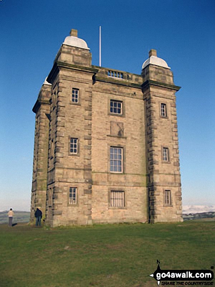
Some Photos and Pictures from Walk ch310 West Parkgate, Sponds Hill and The Cage from Lyme Park Country Park
In no particular order . . .
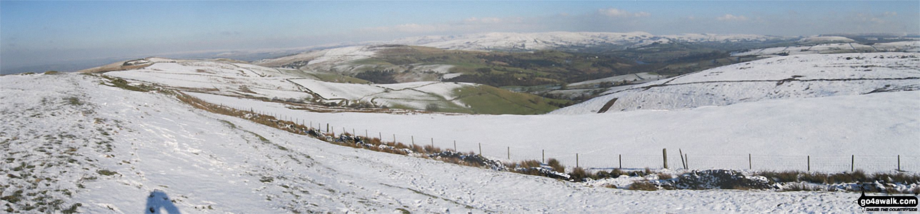
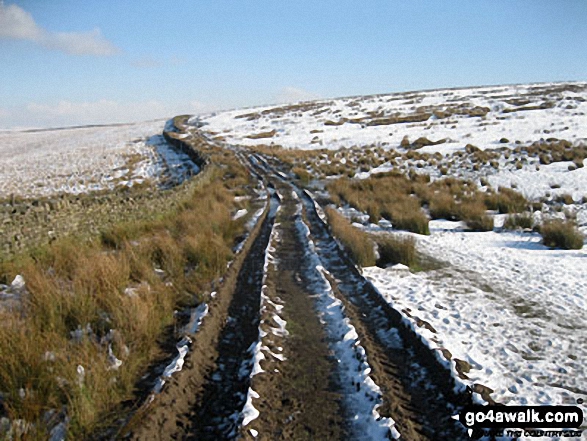
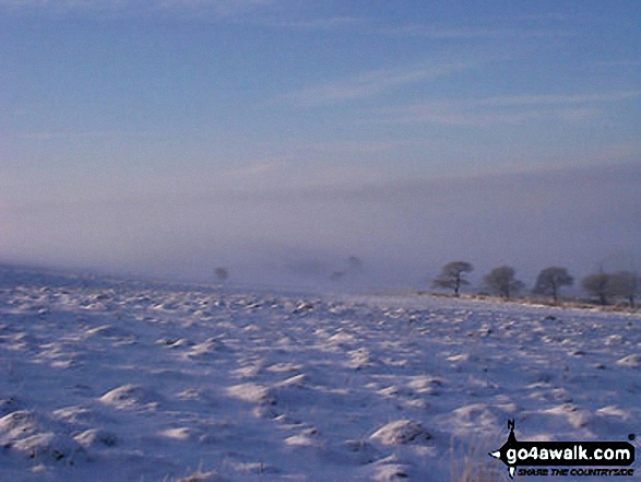
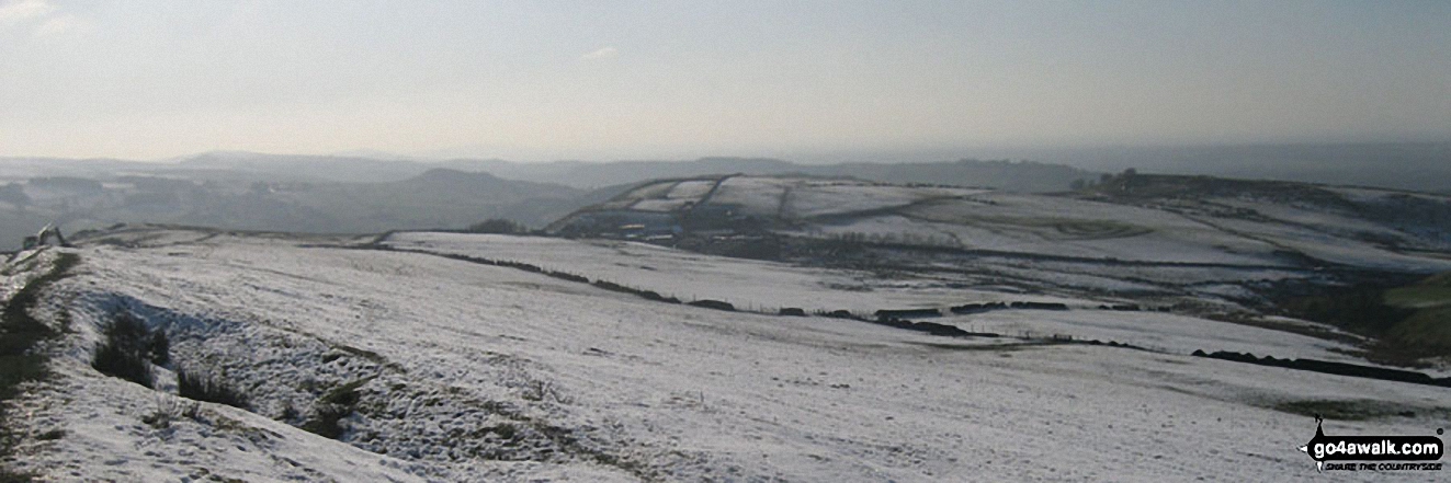
Looking North from the summit of Sponds Hill along the Gritstone Trail towards Bowstonegate Farm (left) and Kinder Scout (right)
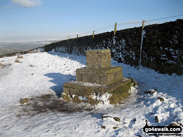
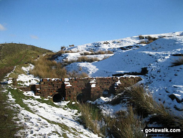
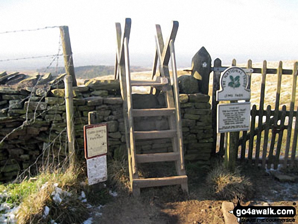
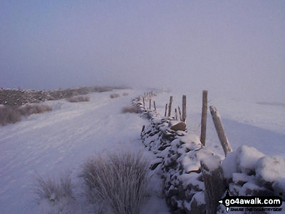
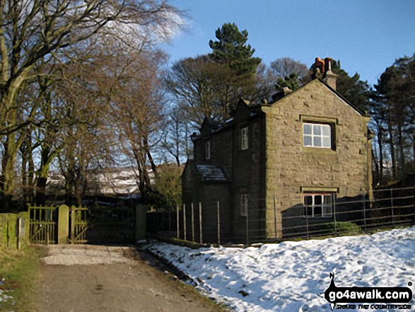
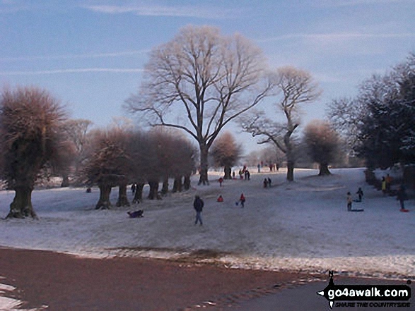
Memorial in Lyme Park Country Park North of Bowstonegate Farm in the snow
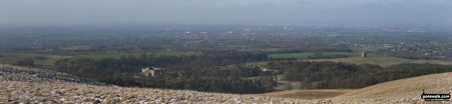
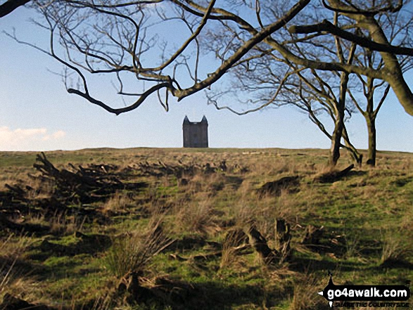
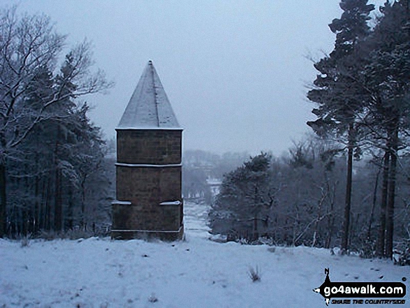
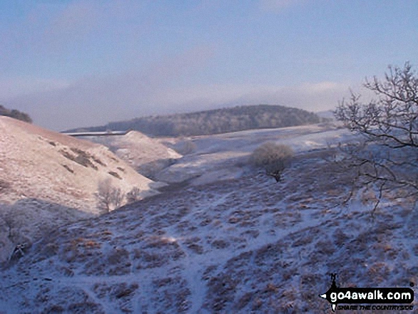
Lyme Hall (left) and The Cage (right) with Manchester and Stockport beyond from the memorial in Lyme Park Country Park just north of Bowstonegate Farm
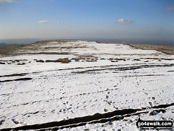
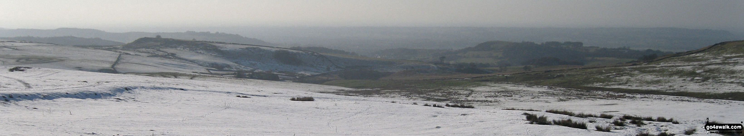
Looking South from Sponds Hill along the Gritstone Trail towards Croker Hill (left - in distance with mast on summit) and Teggs Nose in the snow
Send us your photographs and pictures from your walks and hikes
We would love to see your photographs and pictures from walk ch310 West Parkgate, Sponds Hill and The Cage from Lyme Park Country Park. Send them in to us as email attachments (configured for any computer) along with your name and where the picture was taken to:
and we shall do our best to publish them.
(Guide Resolution = 300dpi. At least = 660 pixels (wide) x 440 pixels (high).)

You can also submit photos from walk ch310 West Parkgate, Sponds Hill and The Cage from Lyme Park Country Park via our Facebook Page.
NB. Please indicate where each photo was taken.


