   |
Vital Statistics:
| Length: | 8¾mls (14km) |
| Ascent: | 1,870ft (570m) |
| Time: | 5hrs |
| Grade: |  |
Route outline for walk ny140:
Reeth - Arkle Beck - High Fremington - White House Farm - Fremington Edge - Fremington Edge Top - Fell End Lead Mine - Storthwaite Hall - Arkengarthdale - Langthwaite - Arken Town - Calver Hill - Riddings Farm - Skelgate Lane - Wainwright's Coast to Coast Walk - The Herriot Way - Reeth
Peaks, Summits and Tops reached on this walk:
 0 English Mountains |
 0 Wainwrights |
 0 English Nuttalls |
 0 English Deweys |
 0 Wainwright Outlying Fells |
 0 Marilyns |
 2 Bridgets |
Peak Bagging Statistics for this walk:
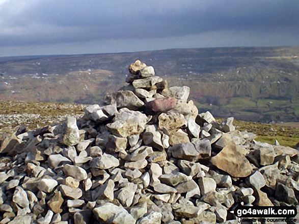
The highest point of this walk is Calver Hill at 487m (1598ft). Calver Hill is known as an English Bridget. The summit of Calver Hill is marked by an Ordnance Survey Trig Point.
Completing this walk will also take you to the top of Fremington Edge at 473m (1552ft). Fremington Edge is known as an English Bridget.
National Trails & Long Paths included on this walk:
Part of this walk follows a section of The Herriot Way, an 88km (55 miles) circular footpath starting and finishing in Aysgarth Falls in North Yorkshire, England. The Herriot Way is waymarked by the occasional named post. For more walks that include a section of this trail see The Herriot Way.
Part of this walk also follows a section of Wainwright's Coast to Coast Walk, a 306km (190 miles) linear footpath connecting St Bees in Cumbria, England with Robin Hood's Bay in North Yorkshire, England. Wainwright's Coast to Coast Walk is waymarked by the occasional sign. For more walks that include a section of this trail see Wainwright's Coast to Coast Walk.
You can find this walk and other nearby walks on these unique free-to-access Interactive Walk Planning Maps:
1:25,000 scale OS Explorer Map (orange/yellow covers):
1:50,000 scale OS Landranger Maps (pink/magenta covers):
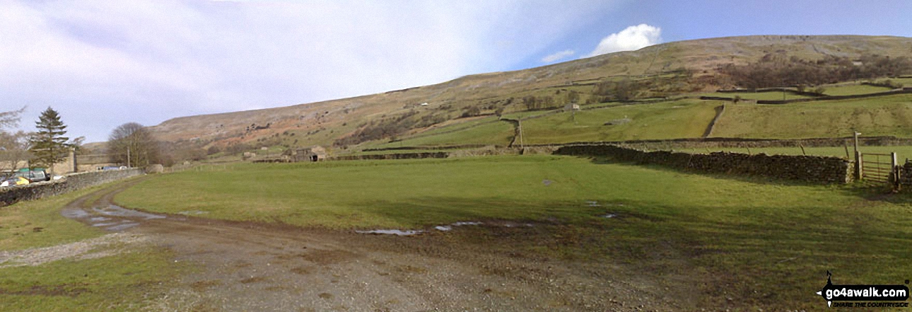
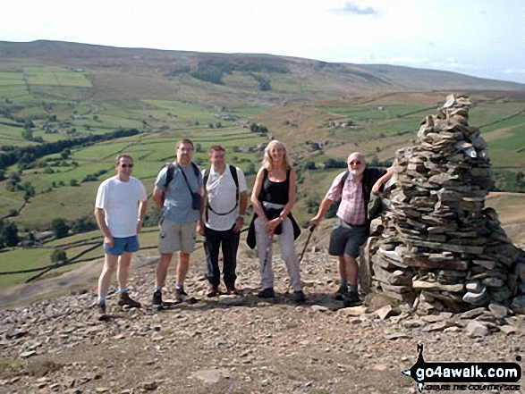
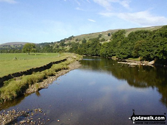
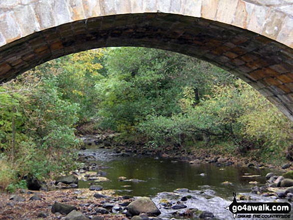
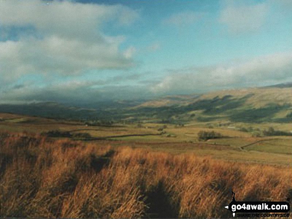
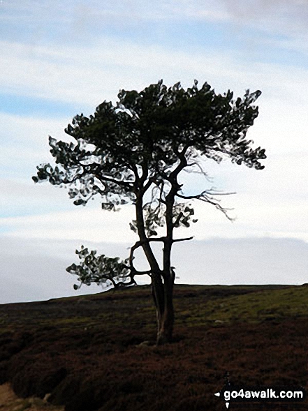
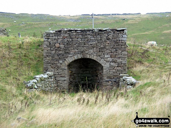
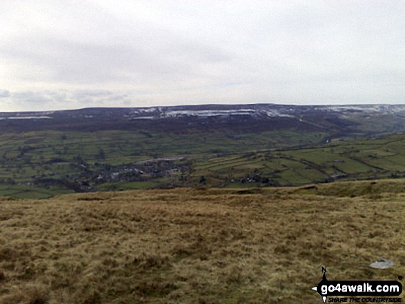
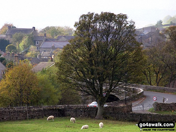
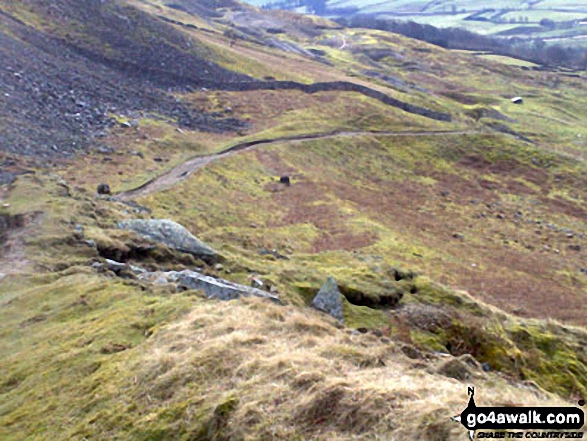
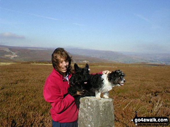
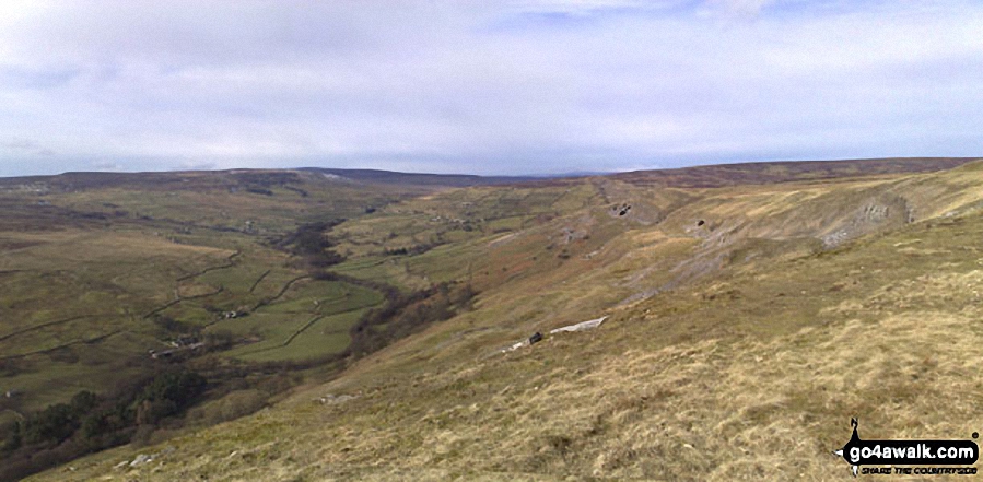
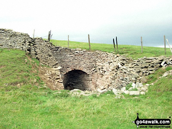
Some Photos and Pictures from Walk ny140 Fremington Edge and Calver Hill from Reeth
In no particular order . . .
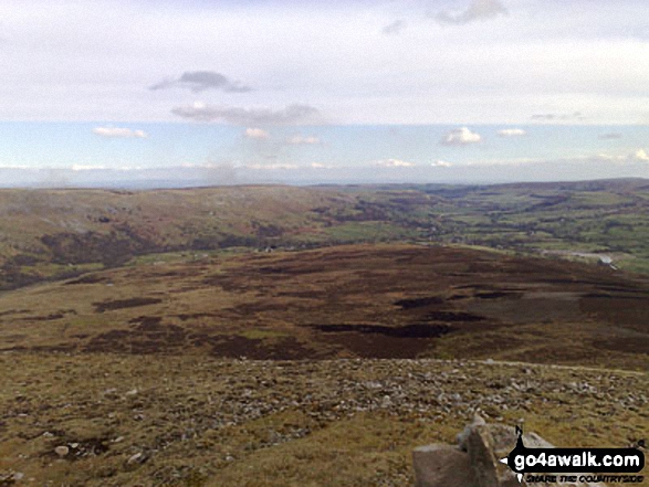
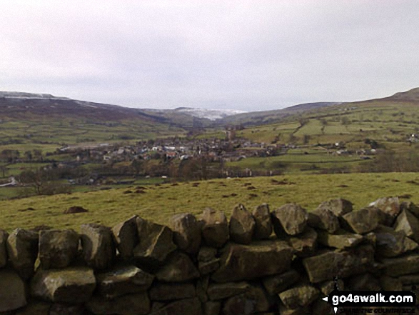

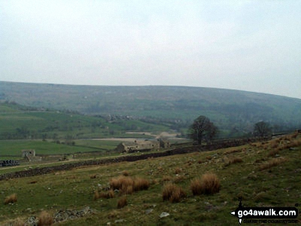
Gibbon Hill and Harkerside Moor with Reeth in the valley below from Fremington Edge
. . . load all 36 walk photos from Walk ny140 Fremington Edge and Calver Hill from Reeth
Send us your photographs and pictures from your walks and hikes
We would love to see your photographs and pictures from walk ny140 Fremington Edge and Calver Hill from Reeth. Send them in to us as email attachments (configured for any computer) along with your name and where the picture was taken to:
and we shall do our best to publish them.
(Guide Resolution = 300dpi. At least = 660 pixels (wide) x 440 pixels (high).)

You can also submit photos from walk ny140 Fremington Edge and Calver Hill from Reeth via our Facebook Page.
NB. Please indicate where each photo was taken.


