The Lake District National Park - a fully detailed list of all the Mountains, Peaks, Tops and Hills (Page 1 of 8)
The Lake District National Park is located in North West England, wholly within the county of Cumbria.
If you count only the Wainwrights there are 214 tops to climb, bag & conquer and the highest point is Scafell Pike at 978m (3,210ft).
To see these Mountains, Peaks, Tops and Hills displayed in different ways - see the options in the left-hand column and towards the bottom of this page.
![]() Your Personal Bagging Record for The Lake District National Park
Your Personal Bagging Record for The Lake District National Park
When logged on, you can mark each Mountain, Peak, Top or Hill as 'bagged' by either:
- if you opt to display the tops in this area using a google map, click or tap on its symbol on the map below. This will open a text window. Click or tap on the 'Record [mountain name] as Bagged, Climbed & Conquered' link towards the bottom of the text window, or
- if you opt to display the tops in this area as a list, click or tap on the red 'not yet' symbol to the right of the name of each 'top'
Either method will open a new page where you can complete all your details such as:
- when you bagged the Mountain, Peak, Top or Hill;
- which route you took
- who you went with
- what the weather was like
- any other comment that will remind you of the day
Once you have completed your details and click or tap the submit button, you will automatically return to this page and the top you bagged will show with a green tick.
NB. None of the above fields are 'mandatory' - you can leave them blank if you wish.
NNB. You also have the option whether to display your peak bagging exploits to other users of this site or keep them private so only you can see them when you are logged on.
Furthermore, since you can also access your Personal Mountain & Hill Bagging Record via go4awalk Mobile you can quickly & easily record, edit and view your achievements - whether you are at home/work on your desktop computer or in the pub/at the top of a mountain with your Mobile Phone. (You can even download your Personal Mountain & Hill Bagging Record as a .csv file for importing into and saving with spreadsheet software like Excel or NeoOffice!)
This facility costs one credit to initially access your personal bagging record. Once accessed, all other interactions, such as recording other Mountains, Peaks, Tops and Hills as 'bagged' or altering an existing bagging record, are free.
Click REGISTER to register and purchase credits.
LOG ON and RELOAD this page to show which Mountains, Peaks, Tops and Hills you have already climbed, bagged & conquered. [ . . . remove this text]
See this list in: Alphabetical Order‡
| Height Order
To reverse the order select the link again.
Mountain, Peak, Top or Hill:
Bagged

![]()
1. Allen Crags
785m (2,576ft)
Allen Crags is on interactive maps:
Allen Crags is on downloadable PDF you can Print or Save to your Phone: *Version including the walk routes marked on it that you need to follow to Walk all 214 Wainwrights in just 59 walks. |
![]()
2. Angletarn Pikes
567m (1,861ft)
Angletarn Pikes is on interactive maps:
Angletarn Pikes is on downloadable PDF you can Print or Save to your Phone: *Version including the walk routes marked on it that you need to follow to Walk all 214 Wainwrights in just 59 walks. |
![]()
3. Ard Crags
581m (1,906ft)
Ard Crags is on interactive maps:
Ard Crags is on downloadable PDF you can Print or Save to your Phone: *Version including the walk routes marked on it that you need to follow to Walk all 214 Wainwrights in just 59 walks. |
![]()
4. Armboth Fell
479m (1,572ft)
Armboth Fell is on interactive maps:
Armboth Fell is on downloadable PDF you can Print or Save to your Phone: *Version including the walk routes marked on it that you need to follow to Walk all 214 Wainwrights in just 59 walks. |
![]()
5. Arnison Crag
433m (1,421ft)
Arnison Crag is on interactive maps:
Arnison Crag is on downloadable PDF you can Print or Save to your Phone: *Version including the walk routes marked on it that you need to follow to Walk all 214 Wainwrights in just 59 walks. |
![]()
6. Arthur's Pike
533m (1,749ft)
Arthur's Pike is on interactive maps:
Arthur's Pike is on downloadable PDF you can Print or Save to your Phone: *Version including the walk routes marked on it that you need to follow to Walk all 214 Wainwrights in just 59 walks. |
![]()
7. Bakestall
673m (2,209ft)
Bakestall is on interactive maps:
Bakestall is on downloadable PDF you can Print or Save to your Phone: *Version including the walk routes marked on it that you need to follow to Walk all 214 Wainwrights in just 59 walks. |
![]()
8. Bannerdale Crags
683m (2,242ft)
Bannerdale Crags is on interactive maps:
Bannerdale Crags is on downloadable PDF you can Print or Save to your Phone: *Version including the walk routes marked on it that you need to follow to Walk all 214 Wainwrights in just 59 walks. |
![]()
9. Barf
468m (1,536ft)
Barf is on interactive maps:
Barf is on downloadable PDF you can Print or Save to your Phone: *Version including the walk routes marked on it that you need to follow to Walk all 214 Wainwrights in just 59 walks. |
![]()
10. Barrow (Newlands)
455m (1,493ft)
Barrow (Newlands) is on interactive maps:
Barrow (Newlands) is on downloadable PDF you can Print or Save to your Phone: *Version including the walk routes marked on it that you need to follow to Walk all 214 Wainwrights in just 59 walks. |
![]()
11. Base Brown
646m (2,120ft)
Base Brown is on interactive maps:
Base Brown is on downloadable PDF you can Print or Save to your Phone: *Version including the walk routes marked on it that you need to follow to Walk all 214 Wainwrights in just 59 walks. |
![]()
12. Baystones (Wansfell)
488m (1,601ft)
Baystones (Wansfell) is on interactive maps:
Baystones (Wansfell) is on downloadable PDF you can Print or Save to your Phone: *Version including the walk routes marked on it that you need to follow to Walk all 214 Wainwrights in just 59 walks. |
![]()
13. Beda Head (Beda Fell)
509m (1,671ft)
Beda Head (Beda Fell) is on interactive maps:
Beda Head (Beda Fell) is on downloadable PDF you can Print or Save to your Phone: *Version including the walk routes marked on it that you need to follow to Walk all 214 Wainwrights in just 59 walks. |
![]()
14. Binsey
447m (1,467ft)
Binsey is on interactive maps:
Binsey is on downloadable PDF you can Print or Save to your Phone: *Version including the walk routes marked on it that you need to follow to Walk all 214 Wainwrights in just 59 walks. |
![]()
15. Birkhouse Moor
718m (2,356ft)
Birkhouse Moor is on interactive maps:
Birkhouse Moor is on downloadable PDF you can Print or Save to your Phone: *Version including the walk routes marked on it that you need to follow to Walk all 214 Wainwrights in just 59 walks. |
![]()
16. Birks
624m (2,047ft)
Birks is on interactive maps:
Birks is on downloadable PDF you can Print or Save to your Phone: *Version including the walk routes marked on it that you need to follow to Walk all 214 Wainwrights in just 59 walks. |
![]()
17. Black Fell (Black Crag)
323m (1,060ft)
Black Fell (Black Crag) is on interactive maps:
Black Fell (Black Crag) is on downloadable PDF you can Print or Save to your Phone: *Version including the walk routes marked on it that you need to follow to Walk all 214 Wainwrights in just 59 walks. |
![]()
18. Blake Fell
573m (1,881ft)
Blake Fell is on interactive maps:
Blake Fell is on downloadable PDF you can Print or Save to your Phone: *Version including the walk routes marked on it that you need to follow to Walk all 214 Wainwrights in just 59 walks. |
![]()
19. Blea Rigg
541m (1,776ft)
Blea Rigg is on interactive maps:
Blea Rigg is on downloadable PDF you can Print or Save to your Phone: *Version including the walk routes marked on it that you need to follow to Walk all 214 Wainwrights in just 59 walks. |
![]()
20. Bleaberry Fell
590m (1,936ft)
Bleaberry Fell is on interactive maps:
Bleaberry Fell is on downloadable PDF you can Print or Save to your Phone: *Version including the walk routes marked on it that you need to follow to Walk all 214 Wainwrights in just 59 walks. |
![]()
21. Blencathra or Saddleback (Hallsfell Top)
868m (2,849ft)
Blencathra or Saddleback (Hallsfell Top) is on interactive maps:
Blencathra or Saddleback (Hallsfell Top) is on downloadable PDF you can Print or Save to your Phone: *Version including the walk routes marked on it that you need to follow to Walk all 214 Wainwrights in just 59 walks. |
![]()
22. Bonscale Pike
524m (1,720ft)
Bonscale Pike is on interactive maps:
Bonscale Pike is on downloadable PDF you can Print or Save to your Phone: *Version including the walk routes marked on it that you need to follow to Walk all 214 Wainwrights in just 59 walks. |
![]()
23. Bow Fell (Bowfell)
902m (2,960ft)
Bow Fell (Bowfell) is on interactive maps:
Bow Fell (Bowfell) is on downloadable PDF you can Print or Save to your Phone: *Version including the walk routes marked on it that you need to follow to Walk all 214 Wainwrights in just 59 walks. |
![]()
24. Bowscale Fell
702m (2,304ft)
Bowscale Fell is on interactive maps:
Bowscale Fell is on downloadable PDF you can Print or Save to your Phone: *Version including the walk routes marked on it that you need to follow to Walk all 214 Wainwrights in just 59 walks. |
![]()
25. Brae Fell
586m (1,923ft)
Brae Fell is on interactive maps:
Brae Fell is on downloadable PDF you can Print or Save to your Phone: *Version including the walk routes marked on it that you need to follow to Walk all 214 Wainwrights in just 59 walks. |
![]()
26. Brandreth
715m (2,346ft)
Brandreth is on interactive maps:
Brandreth is on downloadable PDF you can Print or Save to your Phone: *Version including the walk routes marked on it that you need to follow to Walk all 214 Wainwrights in just 59 walks. |
![]()
27. Branstree (Artlecrag Pike)
713m (2,340ft)
Branstree (Artlecrag Pike) is on interactive maps:
Branstree (Artlecrag Pike) is on downloadable PDF you can Print or Save to your Phone: *Version including the walk routes marked on it that you need to follow to Walk all 214 Wainwrights in just 59 walks. |
![]()
28. Brim Fell
796m (2,612ft)
Brim Fell is on interactive maps:
Brim Fell is on downloadable PDF you can Print or Save to your Phone: *Version including the walk routes marked on it that you need to follow to Walk all 214 Wainwrights in just 59 walks. |
![]()
29. Brock Crags
561m (1,841ft)
Brock Crags is on interactive maps:
Brock Crags is on downloadable PDF you can Print or Save to your Phone: *Version including the walk routes marked on it that you need to follow to Walk all 214 Wainwrights in just 59 walks. |
![]()
30. Broom Fell
511m (1,677ft)
Broom Fell is on interactive maps:
Broom Fell is on downloadable PDF you can Print or Save to your Phone: *Version including the walk routes marked on it that you need to follow to Walk all 214 Wainwrights in just 59 walks. |
View these 214 Mountains, Peaks, Tops and Hills:
- On Seven Downloadable PDFs you can print or save to your phone covering:
- The Central Fells #
- The Eastern Fells #
- The Far Eastern Fells #
- The Northern Fells #
- The North Western Fells #
- The Southern Fells #
- The Western Fells #
- On Seven Special Wainwright Baggers' versions of the above Downloadable PDFs you can print or save to your phone detailing the routes that Bag All 214 Wainwrights in just 59 walks:
- The Wainwrights in the Central Fells Area #
- The Wainwrights in the The Eastern Fells Area #
- The Wainwrights in the The Far Eastern Fells Area #
- The Wainwrights in the The Northern Fells Area #
- The Wainwrights in the The North Western Fells Area #
- The Wainwrights in the The Southern Fells Area #
- The Wainwrights in the The Western Fells Area #
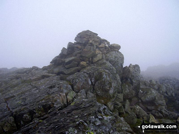
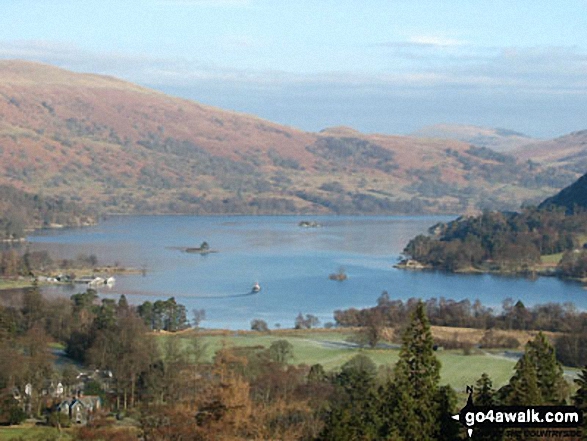
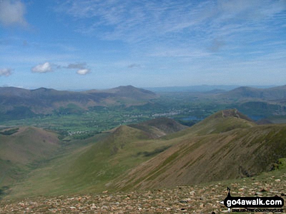
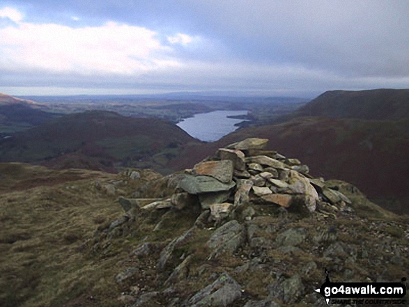
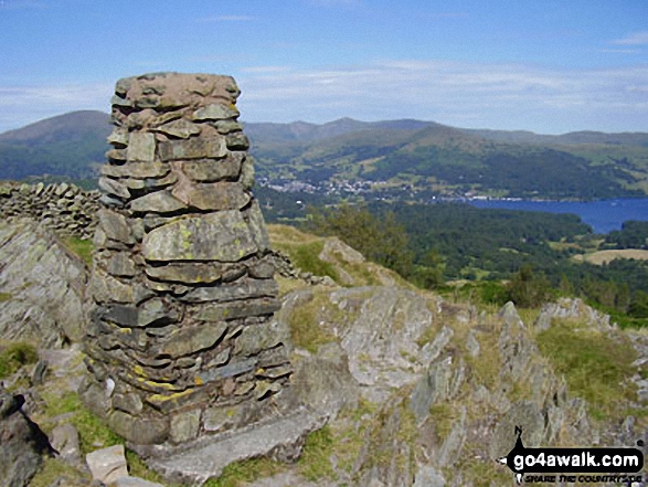
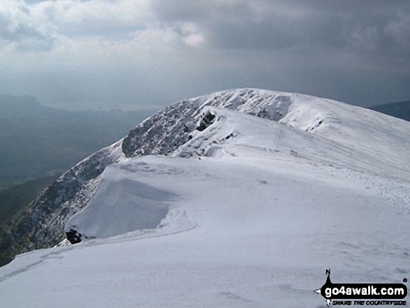
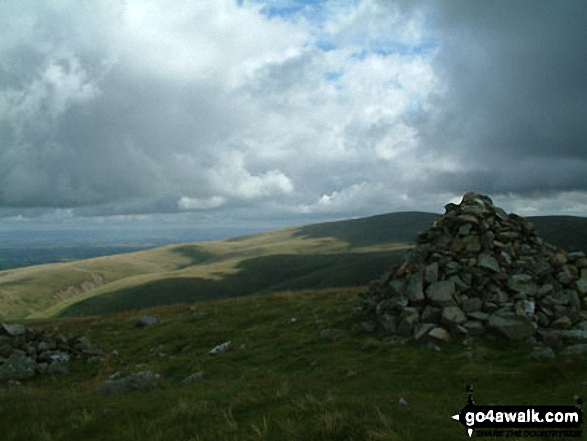
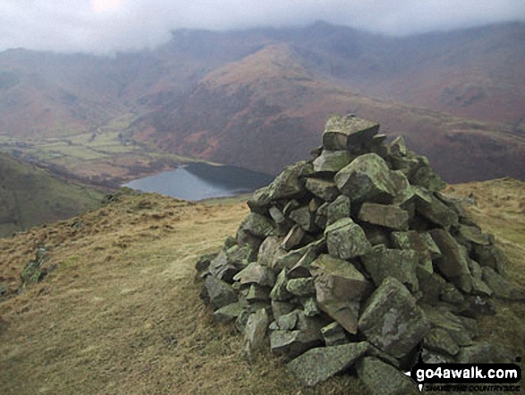
 The view from Scafell Pike in The Lake District
Photo: David Cochrane
- On an Interactive Google Map (loads faster)
- On an Interactive Google Map with a list of tops below it.
(makes it easier to locate a particular top) - On a Detailed List in:
Alphabetical Order | Height Order - On one page with 'yet-to-be-bagged' listed 1st & then 'already-bagged' tops listed 2nd in:
Alphabetical Order | Height Order - On one page with 'already-bagged' tops listed 1st & then 'yet-to-be-bagged' tops listed 2nd in:
Alphabetical Order | Height Order
# Whether you print copies or download them to your phone, these Peak Baggers' Maps will prove incredibly useful if you want to know what's what when you are up in the mountains and cannot get a phone signal.
Is there a Mountain, Peak, Top or Hill missing from the above google map or list?
Let us know an we will add it to our database.
To contribute to go4awalk.com or to contact us about anything at all - see Talk To Us.
For help see Help.
go4awalk.com and go4awalk.co.uk are registered trademarks of TMDH Limited.
Copyright © 2000-2025 TMDH Limited. All rights reserved.
Copyright Terms & Conditions Privacy Statement
A - Z Walks Home Log On/Accounts Photo Gallery Walk Ideas and Collections Fell Facts Hill Skills Walking Questions and Answers Your Stories News Competitions Product Reviews/Gear Tests Walking Gear Guides Peaks and Mountains Peak Bagging Find New Walking Friends Camping GPS Waypoints for Walking Contents Walk Search Talk To Us go4awalk.com Help Free Example Walks Newsletter


