Walk c353 Holme Fell, Black Fell (Black Crag) and Tarn Hows from Tom Gill

Fine views of Tarn Hows and southern lakeland


Route outline for walk c353:

Tom Gill Car Park  -  Glen Mary Bridge  -  Yew Tree Farm  -  Yew Tree Farm  -  Harry Guards Wood  -  Uskdale Gap  -  Holme Fell  -  Holme Hill Wood  -  Low Tilberthwaite  -  Hodge Close Quarry  -  High Tilberthwaite  -  Wythebank  -  High Oxenfell Farm  -  Low Arnside  -  Black Fell (Black Crag)  -  Iron Keld  -  Tarn Hows  -  Tom Gill Waterfalls  -  Tom Gill Car Park.


Peaks, Summits and Tops reached on this walk:

hewitt
0
English
Mountains
Wainwright
2
Wainwrights
 English Nuttalls
0
English
Nuttalls
Dewey
0
English
Deweys
Wainwright Outlying Fell
0
Wainwright
Outlying Fells
marilyn
1
Marilyn
Bridget
0
Bridgets

Peak Bagging Statistics for this walk:

The highest point of this walk is Black Fell (Black Crag) at 323m (1060ft). Black Fell (Black Crag) is classified as an Wainwright (No. 212). The summit of Black Fell (Black Crag) is marked by an Ordnance Survey Trig Point.

Completing this walk will also take you to the top of Holme Fell at 317m (1040ft). Holme Fell is classified as an Wainwright (No. 213). Holme Fell is also known as English Marilyn (125th highest in England, 1351st highest in the UK).


You can find more walks near this one on these unique free-to-access Interactive Walk Planning Maps: (click/TAP to select)

The Lake District National Park


1:25,000 scale OS Explorer Map (the ones with orange/yellow covers):

OL7 The English Lakes - South Eastern area


1:50,000 scale OS Landranger Map (the ones with pink/magenta covers):

90 Penrith & Keswick, Ambleside


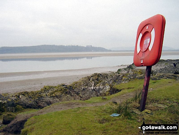
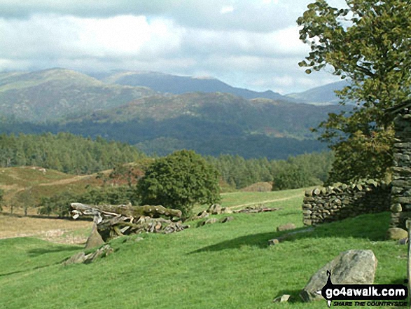
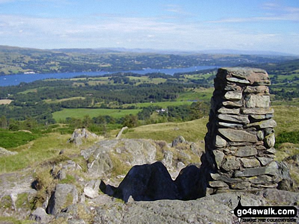
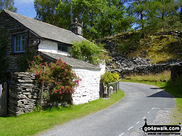
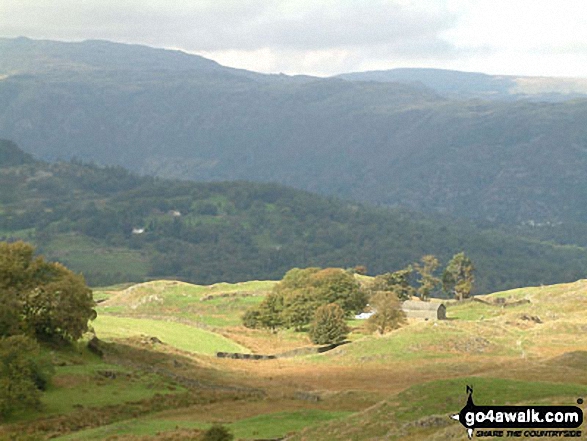
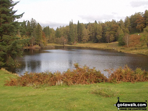
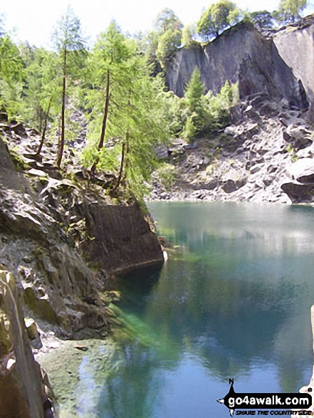
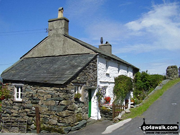
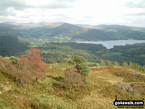
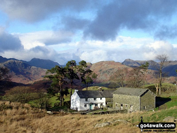
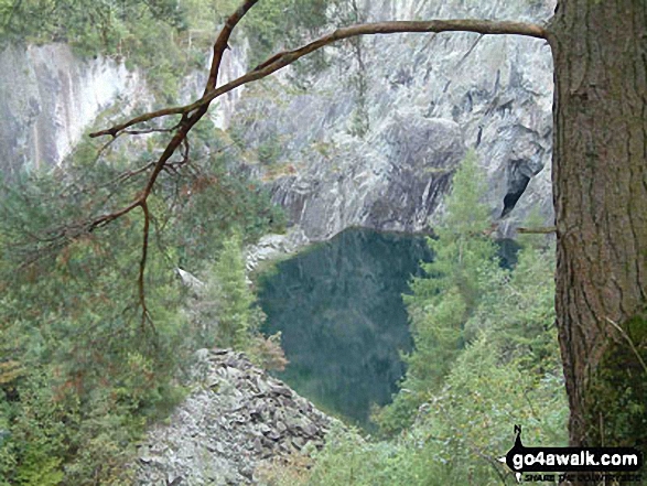
Some Photos and Pictures from Walk c353 Holme Fell, Black Fell (Black Crag) and Tarn Hows from Tom Gill

In no particular order . . .

Walk c353 Holme Fell, Black Fell (Black Crag) and Tarn Hows from Tom Gill - Southern Lake Windermere from Black Fell (Black Crag)

Southern Lake Windermere from Black Fell (Black Crag)

Photo: Stephen Collins (50)

Walk c353 Holme Fell, Black Fell (Black Crag) and Tarn Hows from Tom Gill - High Tilberthwaite

High Tilberthwaite

Photo: Chris Leonard (28)

Walk c353 Holme Fell, Black Fell (Black Crag) and Tarn Hows from Tom Gill - Tarn Hows in November

Tarn Hows in November

Photo: Linda Royston (5)

Walk c353 Holme Fell, Black Fell (Black Crag) and Tarn Hows from Tom Gill - Heather and crags on Holme Fell

Heather and crags on Holme Fell

Photo: Raymond Brown (21)

Walk c353 Holme Fell, Black Fell (Black Crag) and Tarn Hows from Tom Gill - The Langdale Pikes from Holme Fell

The Langdale Pikes from Holme Fell

Photo: Raymond Brown (24)

Walk c353 Holme Fell, Black Fell (Black Crag) and Tarn Hows from Tom Gill - Hodge Close Quarry from Low Tilberthwaite

Hodge Close Quarry from Low Tilberthwaite

Photo: Chris Leonard (27)

Walk c353 Holme Fell, Black Fell (Black Crag) and Tarn Hows from Tom Gill - Lake Windermere from Black Fell (Black Crag)

Lake Windermere from Black Fell (Black Crag)

Photo: Stephen Collins (49)

Walk c353 Holme Fell, Black Fell (Black Crag) and Tarn Hows from Tom Gill - The Old Man of Coniston from Holme Fell

The Old Man of Coniston from Holme Fell

Photo: Raymond Brown (25)

Walk c353 Holme Fell, Black Fell (Black Crag) and Tarn Hows from Tom Gill - Tarn Hows

Tarn Hows

Photo: Mark Jolley (8)

Walk c353 Holme Fell, Black Fell (Black Crag) and Tarn Hows from Tom Gill - High above Hodge Close Quarry from Low Tilberthwaite

High above Hodge Close Quarry from Low Tilberthwaite

Photo: Chris Leonard (26)

Walk c353 Holme Fell, Black Fell (Black Crag) and Tarn Hows from Tom Gill - Tarn Hows

Tarn Hows

Photo: David Wright (159)

Walk c353 Holme Fell, Black Fell (Black Crag) and Tarn Hows from Tom Gill - Arnside Sands, Morecambe Bay

Arnside Sands, Morecambe Bay

Photo: Darren Proctor (8)

Walk c353 Holme Fell, Black Fell (Black Crag) and Tarn Hows from Tom Gill - Holme Fell summit cairn

Holme Fell summit cairn

Photo: David Hayter (253)

Walk c353 Holme Fell, Black Fell (Black Crag) and Tarn Hows from Tom Gill - The Furness Fells above Crook Beck from near Low Tilberthwaite

The Furness Fells above Crook Beck from near Low Tilberthwaite

Photo: Andy Malcolm (131)

Walk c353 Holme Fell, Black Fell (Black Crag) and Tarn Hows from Tom Gill - The view west to The Coniston Fells and Wetherlam from near Low Arnside Farm

The view west to The Coniston Fells and Wetherlam from near Low Arnside Farm

Photo: David Wright (163)

Walk c353 Holme Fell, Black Fell (Black Crag) and Tarn Hows from Tom Gill - Tarn Hows

Tarn Hows

Photo: Glynn Trueman (24)

Walk c353 Holme Fell, Black Fell (Black Crag) and Tarn Hows from Tom Gill - Tarn Hows

Tarn Hows

Photo: Mark Jolley (18)

Walk c353 Holme Fell, Black Fell (Black Crag) and Tarn Hows from Tom Gill - Wythebank Farm

Wythebank Farm

Photo: Stephen Collins (43)

Walk c353 Holme Fell, Black Fell (Black Crag) and Tarn Hows from Tom Gill - Entrance to Hodge Close Quarry, High Tilberthwaite

Entrance to Hodge Close Quarry, High Tilberthwaite

Photo: Chris Leonard (32)

Walk c353 Holme Fell, Black Fell (Black Crag) and Tarn Hows from Tom Gill - Path to Low Arnside

Path to Low Arnside

Photo: David Hayter (259)


. . . load all 90 walk photos from Walk c353 Holme Fell, Black Fell (Black Crag) and Tarn Hows from Tom Gill


Send us your photographs and pictures from your walks and hikes

We would love to see your walk photographs and pictures walk c353 Holme Fell, Black Fell (Black Crag) and Tarn Hows from Tom Gill. Please send them as email attachments (configured for any computer) along with your name to:

and we shall do our best to publish them.

(Guide Resolution = 300dpi. At least = 660 pixels (wide) x 440 pixels (high).)

Send us your walking and hiking photographs and pictures from walk c353 Holme Fell, Black Fell (Black Crag) and Tarn Hows from Tom Gill via Facebook

You can also submit photos from walk c353 Holme Fell, Black Fell (Black Crag) and Tarn Hows from Tom Gill via our Facebook Page.

NB. Please indicate where each photo was taken.


Follow go4awalk.com on Twitter Follow go4awalk.com on Facebook


Find new Friends to go walking with

Walk all 214 Wainwrights in just 59 Walks. Download GPS Waypoints - Great Walks you must not miss!

Walk The Yorkshire Three Peaks Challenge Walk - All the Latest Route Information, GPS Waypoints and Split Times to keep you on Schedule

Walk The British Three Peaks Challenge Walk - All the Latest Route Information and GPS Waypoints

See our pick of The Best Walks in The Lake District - Great Walks you must not miss!

Walk our pick of the Best Lake District Ridge Walks - Great Walks you must not miss!

Walk our pick of the Best Lake District Walks to do in the rain - Great Walks you must not miss!

Walk our pick of The Best Walks in Snowdonia - Great Walks you must not miss!

Walk our pick of The Best Ridge Walks in Wales - Walks you must not miss!

Walk our pick of The Best Walks in The Brecon Beacons - Great Walks you must not miss!

Walk our pick of The Best Walks in The Yorkshire Dales - Walks you must not miss!

Walk our pick of The Best Walks in The Peak District - Walks you must not miss!

Walk our pick of The Best Walks in The Forest of Bowland - Walks you must not miss!

Walk our pick of The Best Walks in Shropshire - Walks you must not miss!

Walk our pick of The Best Walks in Cheshire - Walks you must not miss!

Walk our pick of The Best Walks in Lancashire - Walks you must not miss!

Not sure where to walk next? Try Peak Bagging - Great Walks you must not miss!

Not sure where to walk next? Walk part of a National Trail - Great Walks you must not miss!

Walks with Downloadable and Uploadable GPS Waypoint Data

Walking Kit and Gear Tested by Walkers

Full Site Search
Do not miss our pick of the Best Walks in Britain