   |
Vital Statistics:
| Length: | 11mls (17.5km) |
| Ascent: | 2,655ft (809m) |
| Time: | 6¾hrs |
| Grade: |  |
Route outline for walk c391:
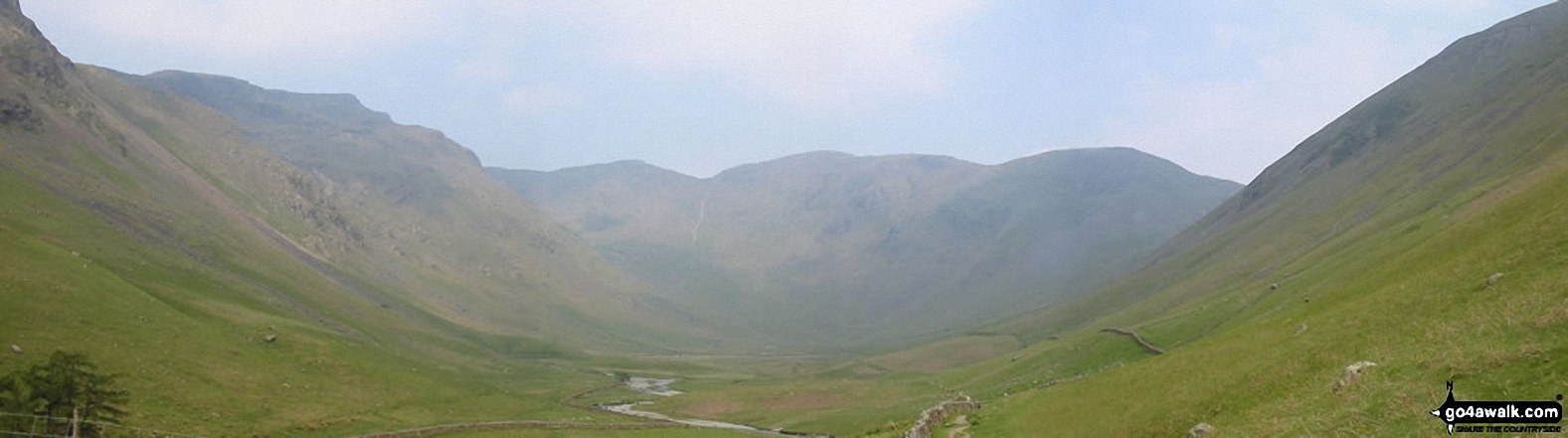
Swindale - Swindale Foot Farm - Swindale Beck - Starling Gill - Stubby Hest - Bracken Howe - Thiefstead - Langhowe Pike - High Katelade - Rowantree Crag - Blea Moss - Stone Howe - Glede Howe - Willy Winder Hill - Haskew Beck - Fewling Stones - Swindale Common - Mosedale Beck (Swindale) - Nabs Moor - Nabs Crag - Howes (Mosedale) - Captain Whelter Bog - Branstree (North East Top) - Branstree (Artlecrag Pike) - Swirle Crag - Selside Pike - High Blake Dodd - Selside End - High Birkin Knott - Low Birkin Knott - Old Corpse Road - Thorny Knott - Swindale Head Farm - Truss Gap - Swindale Foot Farm - Swindale
Peaks, Summits and Tops reached on this walk:
 2 English Mountains |
 2 Wainwrights |
 3 English Nuttalls |
 0 English Deweys |
 4 Wainwright Outlying Fells |
 0 Marilyns |
 0 Bridgets |
Peak Bagging Statistics for this walk:
The highest point of this walk is Branstree (Artlecrag Pike) at 713m (2340ft). Branstree (Artlecrag Pike) is classified as an English Mountain (Hewitt) (92nd highest in England, 155th highest in England & Wales) and a Wainwright (No. 82).
Branstree (Artlecrag Pike) is also known as an English Nuttall (116th highest in England, 195th highest in England & Wales).
Completing this walk will also take you to the top of Branstree (North East Top) at 673m (2208ft). Branstree (North East Top) is also known as an English Nuttall (164th highest in England, 277th highest in England & Wales).
You will also reach the summit of Selside Pike at 655m (2150ft). Selside Pike is classified as an English Mountain (Hewitt) (139th highest in England, 241st highest in England & Wales) and a Wainwright (No. 110).
Selside Pike is also known as an English Nuttall (187th highest in England, 323rd highest in England & Wales).
Along the way you will also bag:
- Howes (Mosedale) at 580m (1904ft). Howes (Mosedale) is classified as a Wainwright Outlying Fell (No. 4)
- Fewling Stones at 510m (1674ft). Fewling Stones is classified as a Wainwright Outlying Fell (No. 21)
- Nabs Moor at 492m (1615ft). Nabs Moor is classified as a Wainwright Outlying Fell (No. 30)
- Langhowe Pike at 400m (1313ft). Langhowe Pike is classified as a Wainwright Outlying Fell (No. 49)
You can find this walk and other nearby walks on these unique free-to-access Interactive Walk Planning Maps:
1:25,000 scale OS Explorer Map (orange/yellow covers):
1:50,000 scale OS Landranger Map (pink/magenta covers):
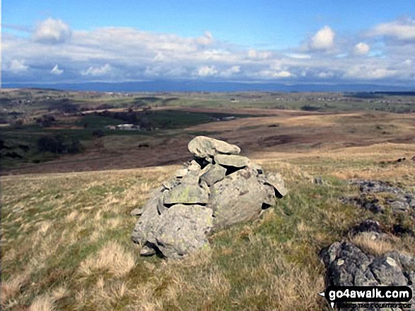
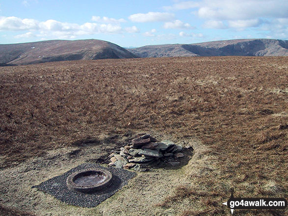
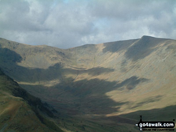
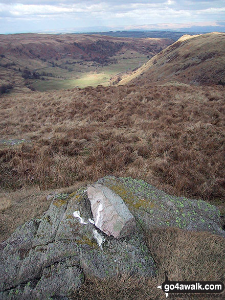
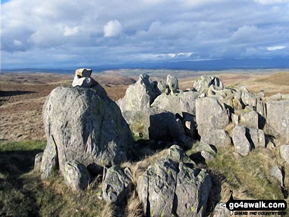
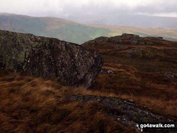
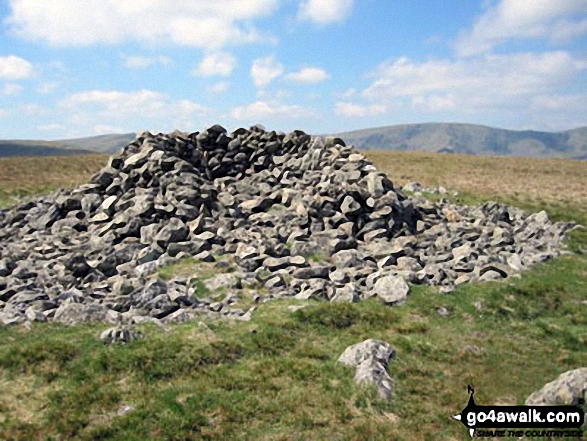
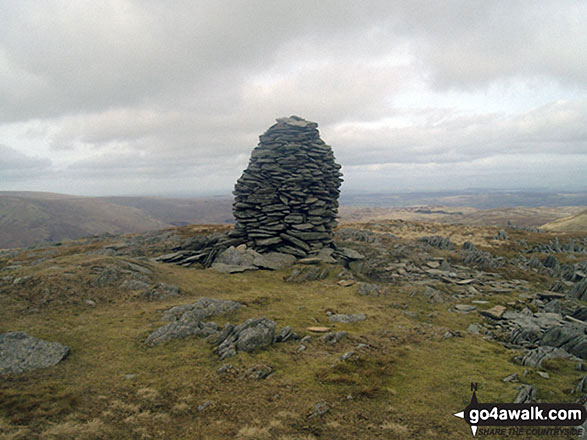
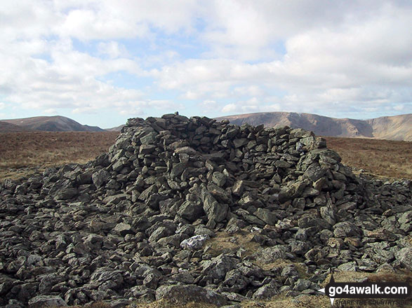
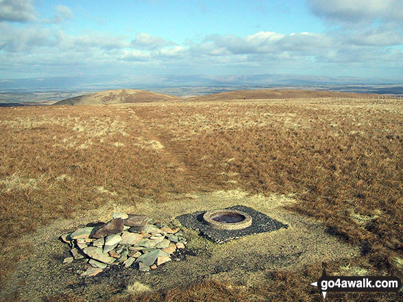
Some Photos and Pictures from Walk c391 The Swindale Horseshoe
In no particular order . . .
. . . load all 88 walk photos from Walk c391 The Swindale Horseshoe
Send us your photographs and pictures from your walks and hikes
We would love to see your photographs and pictures from walk c391 The Swindale Horseshoe. Send them in to us as email attachments (configured for any computer) along with your name and where the picture was taken to:
and we shall do our best to publish them.
(Guide Resolution = 300dpi. At least = 660 pixels (wide) x 440 pixels (high).)

You can also submit photos from walk c391 The Swindale Horseshoe via our Facebook Page.
NB. Please indicate where each photo was taken.


