   |
Vital Statistics:
| Length: | 10½mls (17km) |
| Ascent: | 3,384ft (1,031m) |
| Time: | 7¼hrs |
| Grade: |  |
Route outline for walk c395:
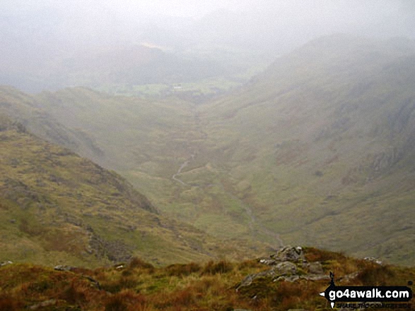
Stonethwaite - Big Stanger Gill - Hanging Haystack Crag - Alisongrass Crag - Rosthwaite Fell (Bessyboot) - Tarn At Leaves - Rosthwaite Cam (Rosthwaite Fell) - Dovenest Top - Combe Door Top - Combe Head - Glaramara - Looking Steads (Glaramara) - Red Beck Top - High House Tarn Top - Allen Crags - Esk Hause - Allencrags Gill - Langstrath - Stonethwaite
Peaks, Summits and Tops reached on this walk:
 5 English Mountains |
 3 Wainwrights |
 9 English Nuttalls |
 1 English Dewey |
 0 Wainwright Outlying Fells |
 0 Marilyns |
 0 Bridgets |
Peak Bagging Statistics for this walk:
The highest point of this walk is Allen Crags at 785m (2576ft). Allen Crags is classified as an English Mountain (Hewitt) (51st highest in England, 90th highest in England & Wales) and a Wainwright (No. 42).
Allen Crags is also known as an English Nuttall (60th highest in England, 109th highest in England & Wales).
Completing this walk will also take you to the top of Glaramara at 783m (2569ft). Glaramara is classified as an English Mountain (Hewitt) (53rd highest in England, 93rd highest in England & Wales) and a Wainwright (No. 45).
Glaramara is also known as an English Nuttall (63rd highest in England, 113th highest in England & Wales).
You will also reach the summit of Looking Steads (Glaramara) at 775m (2545ft). Looking Steads (Glaramara) is also known as an English Nuttall (69th highest in England, 121st highest in England & Wales).
Along the way you will also bag:
- Combe Head at 735m (2412ft). Combe Head is classified as an English Mountain (Hewitt) (78th England, 133rd Eng & Wal) and an English Nuttall (97th highest in England, 164th highest in England & Wales).
- Red Beck Top at 721m (2366ft). Red Beck Top is classified as an English Mountain (Hewitt) (85th England, 146th Eng & Wal) and an English Nuttall (107th highest in England, 182nd highest in England & Wales).
- High House Tarn Top at 684m (2245ft). High House Tarn Top is known as an English Nuttall (148th highest in England, 249th highest in England & Wales).
- Combe Door Top at 676m (2219ft). Combe Door Top is known as an English Nuttall (155th highest in England, 265th highest in England & Wales).
- Dovenest Top at 633m (2078ft). Dovenest Top is classified as an English Mountain (Hewitt) (157th England, 269th Eng & Wal) and an English Nuttall (211th highest in England, 362nd highest in England & Wales).
- Rosthwaite Cam (Rosthwaite Fell) at 612m (2008ft). Rosthwaite Cam (Rosthwaite Fell) is known as an English Nuttall (248th highest in England, 432nd highest in England & Wales).
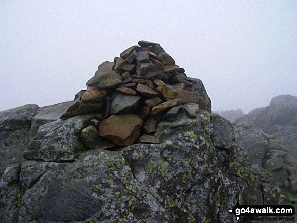
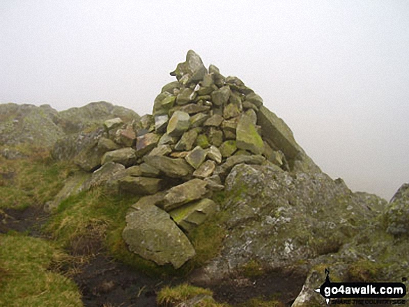
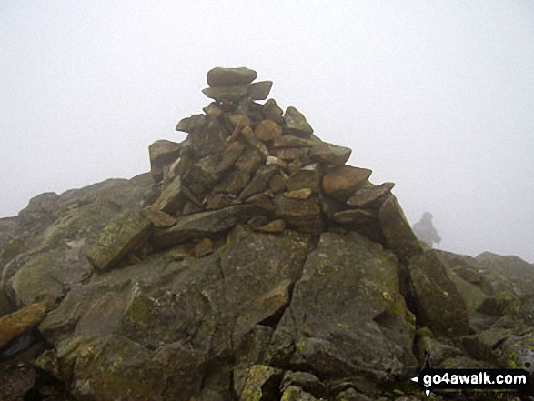
- Rosthwaite Fell (Bessyboot) at 551m (1808ft). Rosthwaite Fell (Bessyboot) is classified as a Wainwright (No. 148) and an English Dewey (68th highest in England, 157th highest in England & Wales) The summit of Rosthwaite Fell (Bessyboot) is marked by an Ordnance Survey Trig Point.
You can find this walk and other nearby walks on these unique free-to-access Interactive Walk Planning Maps:
1:25,000 scale OS Explorer Maps (orange/yellow covers):
1:50,000 scale OS Landranger Maps (pink/magenta covers):
Some Photos and Pictures from Walk c395 Glaramara, Allen Crags and Langstrath from Stonethwaite
In no particular order . . .
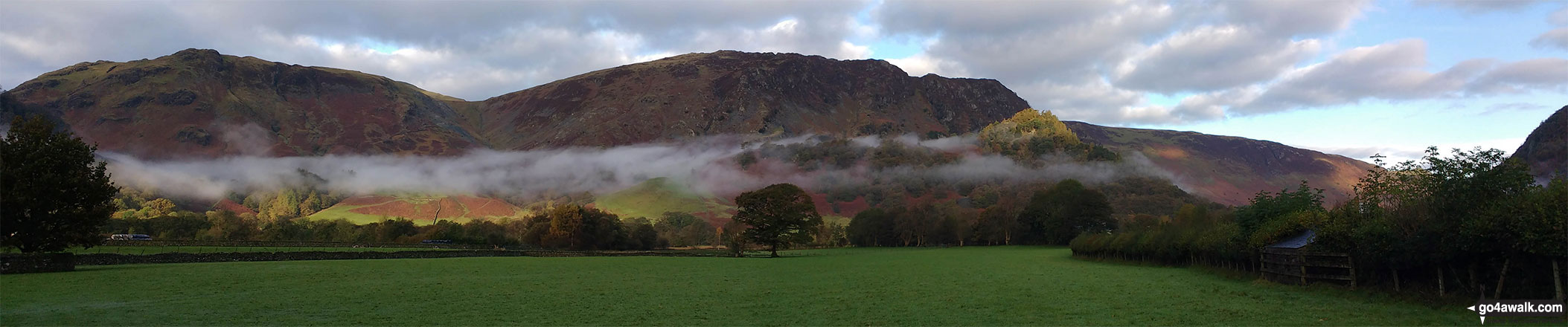
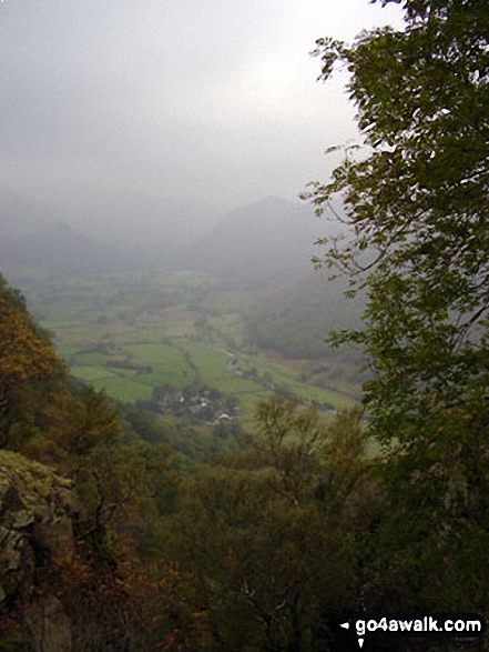
Early morning valley mist below Dale Head (Newlands) and High Spy, Maiden Moor & Cat Bells (Catbells) with the summit of Castle Crag (front right) lit by a ray of sunshine from Rosthwaite
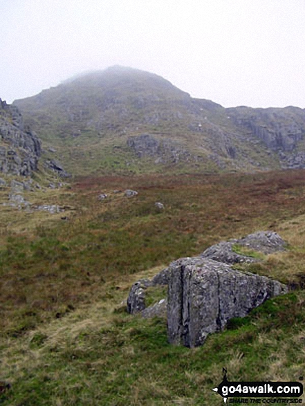
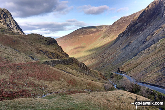
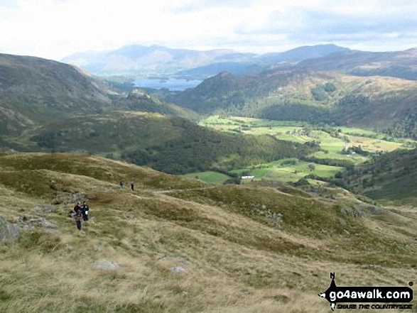
Borrowdale featuring Rosthwaite and Stonethwaite from Hanging Haystack Crag
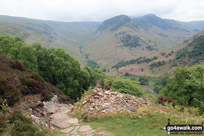
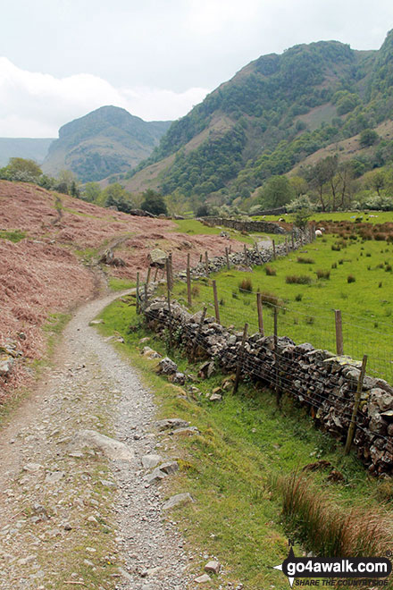
On the Cumbrian Way beside Stonethwaite Beck looking up Borrowdale to Alisongrass Crag and Eagle Crag
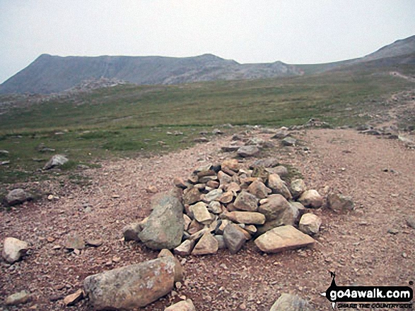
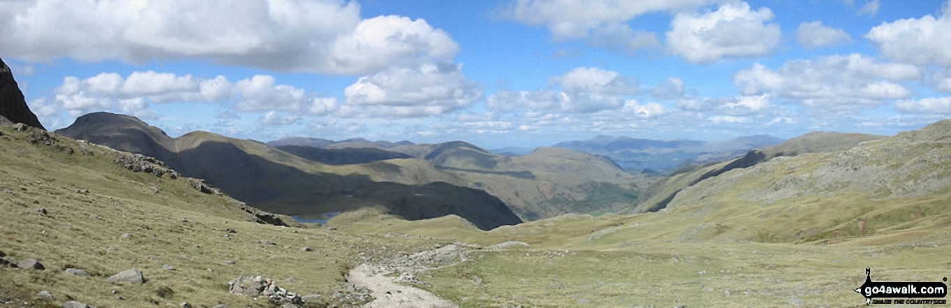
Scafell Pike (far left), Ill Crag and the shoulder of Great End (far right) from Esk Hause
. . . load all 46 walk photos from Walk c395 Glaramara, Allen Crags and Langstrath from Stonethwaite
Send us your photographs and pictures from your walks and hikes
We would love to see your photographs and pictures from walk c395 Glaramara, Allen Crags and Langstrath from Stonethwaite. Send them in to us as email attachments (configured for any computer) along with your name and where the picture was taken to:
and we shall do our best to publish them.
(Guide Resolution = 300dpi. At least = 660 pixels (wide) x 440 pixels (high).)

You can also submit photos from walk c395 Glaramara, Allen Crags and Langstrath from Stonethwaite via our Facebook Page.
NB. Please indicate where each photo was taken.


