   |
Vital Statistics:
| Length: | 9¾mls (15.5km) |
| Ascent: | 3,516ft (1,072m) |
| Time: | 7hrs |
| Grade: |  |
Route outline for walk c235:
Patterdale - Arnison Crag - Birks - St Sunday Crag - Deepdale Hause - Cofa Pike - Fairfield - Rydal Head - Hart Crag - Blake Brow - Hartsop Above How - Hoggill Brow - Gale Crag - Bleaberry Knott - Cockley How - Bridgend - Patterdale
Peaks, Summits and Tops reached on this walk:
 3 English Mountains |
 6 Wainwrights |
 4 English Nuttalls |
 0 English Deweys |
 0 Wainwright Outlying Fells |
 2 Marilyns |
 0 Bridgets |
Peak Bagging Statistics for this walk:
The highest point of this walk is Fairfield at 873m (2865ft). Fairfield is classified as an English Mountain (Hewitt) (15th highest in England, 35th highest in England & Wales) and a Wainwright (No. 13).
Fairfield is also known as an English Nuttall (18th highest in England, 40th highest in England & Wales) and an English Marilyn (7th highest in England, 280th highest in the UK).
Completing this walk will also take you to the top of St Sunday Crag at 841m (2760ft). St Sunday Crag is classified as an English Mountain (Hewitt) (27th highest in England, 53rd highest in England & Wales) and a Wainwright (No. 22).
St Sunday Crag is also known as an English Nuttall (33rd highest in England, 61st highest in England & Wales) and an English Marilyn (10th highest in England, 328th highest in the UK).
You will also reach the summit of Hart Crag at 822m (2698ft). Hart Crag is classified as an English Mountain (Hewitt) (34th highest in England, 65th highest in England & Wales) and a Wainwright (No. 27).
Hart Crag is also known as an English Nuttall (40th highest in England, 76th highest in England & Wales).
Along the way you will also bag:
- Birks at 624m (2047ft). Birks is classified as a Wainwright (No. 125) and an English Nuttall (222nd highest in England, 387th highest in England & Wales)
- Hartsop Above How at 570m (1871ft). Hartsop Above How is classified as a Wainwright (No. 141)
- Arnison Crag at 433m (1421ft). Arnison Crag is classified as a Wainwright (No. 194)
You can find this walk and other nearby walks on these unique free-to-access Interactive Walk Planning Maps:
1:25,000 scale OS Explorer Map (orange/yellow covers):
1:50,000 scale OS Landranger Map (pink/magenta covers):
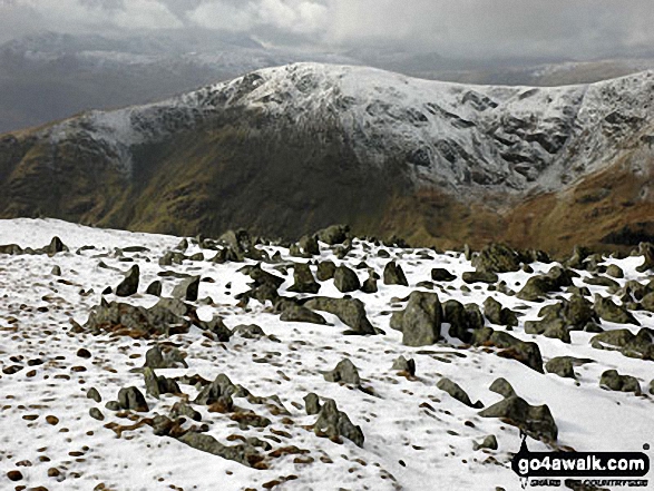
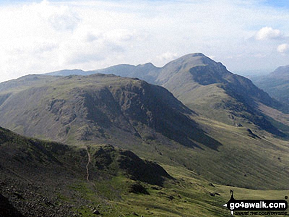
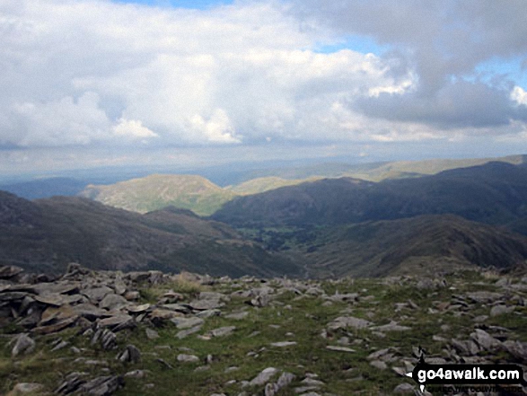
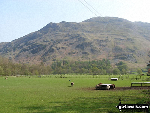
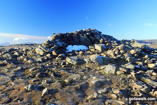
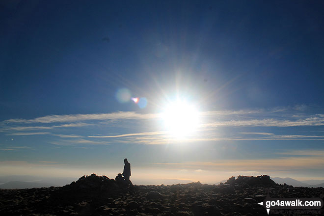
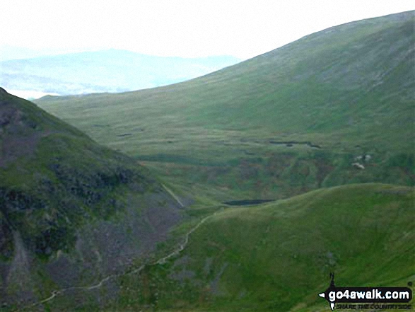
Some Photos and Pictures from Walk c235 The Deepdale Horseshoe from Patterdale
In no particular order . . .
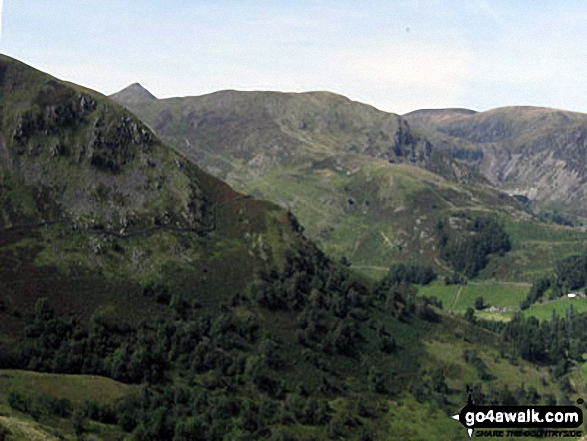
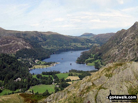
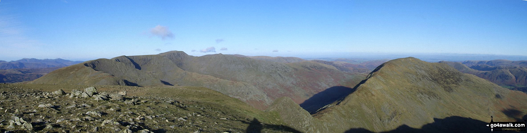
The shoulder of St Sunday Crag and Birks (left), Catstye Cam, Birkhouse Moor (centre) and Sheffield Pike from Arnison Crag, Patterdale
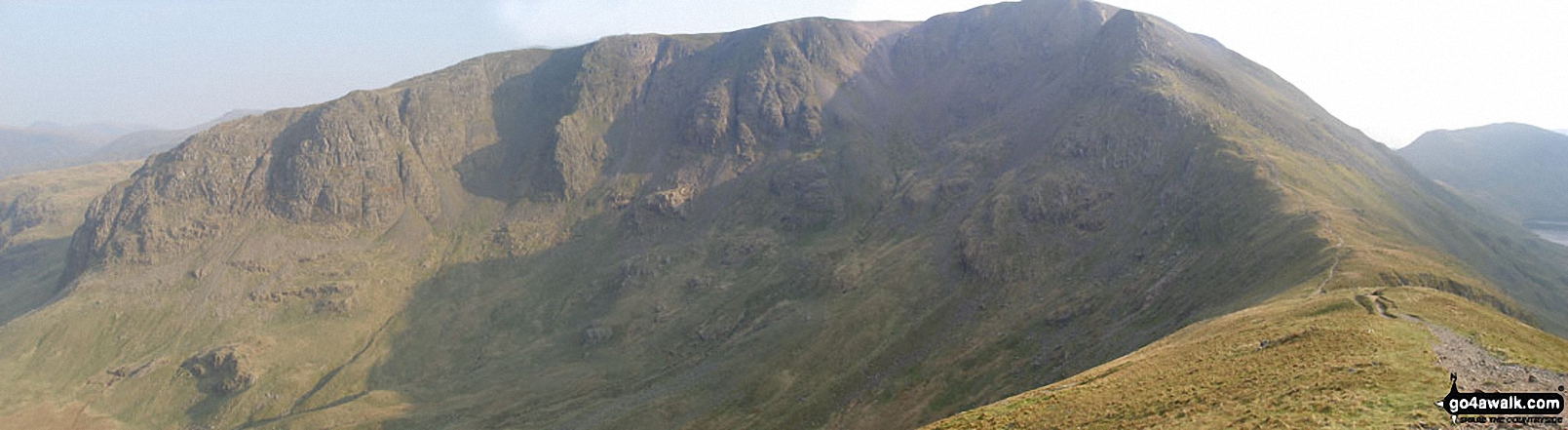
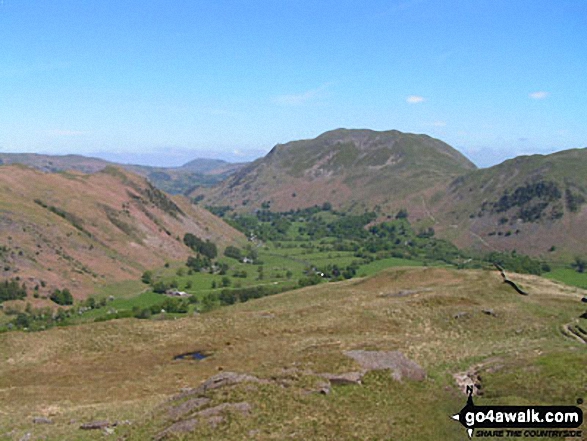
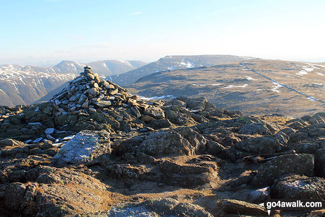
Rydal Water (left) and Coniston Water (right - far distance) and Heron Pike in mid-distance from Hart Crag
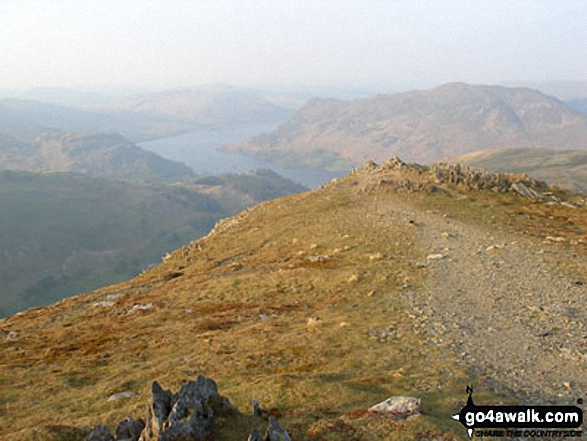
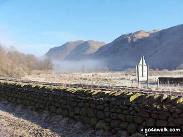
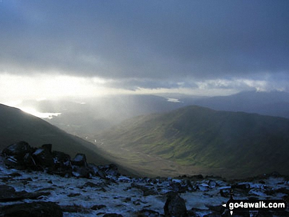
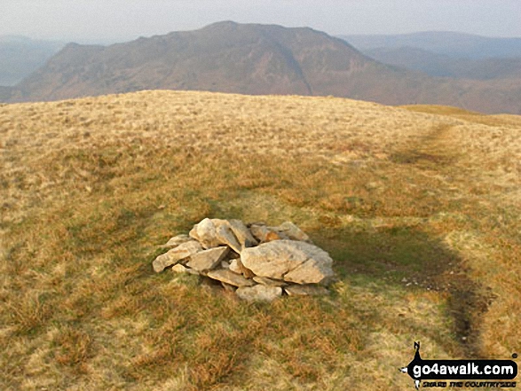
Early Morning Mist nr Hartsop Village with The Angletarn Pikes and Place Fell in the background
. . . load all 81 walk photos from Walk c235 The Deepdale Horseshoe from Patterdale
Send us your photographs and pictures from your walks and hikes
We would love to see your photographs and pictures from walk c235 The Deepdale Horseshoe from Patterdale. Send them in to us as email attachments (configured for any computer) along with your name and where the picture was taken to:
and we shall do our best to publish them.
(Guide Resolution = 300dpi. At least = 660 pixels (wide) x 440 pixels (high).)

You can also submit photos from walk c235 The Deepdale Horseshoe from Patterdale via our Facebook Page.
NB. Please indicate where each photo was taken.


