   |
Vital Statistics:
| Length: | 8½mls (13.5km) |
| Ascent: | 4,260ft (1,298m) |
| Time: | 7¼hrs |
| Grade: |  |
Route outline for walk c151:
Honister Pass - Honister Hause - Green Crag (Buttermere) - Black Beck - Blackbeck Tarn - Innominate Tarn - Hay Stacks (Haystacks) - Scarth Gap - Ennerdale - River Liza - Black Sail Hut (Youth Hostel) - Black Sail Path - Kirk Fell - Kirk Fell (East Top) - Beckhead Tarn - Beck Head - Great Gable - Westmorland Cairn - Windy Gap - Green Gable - Gillercomb Head - Brandreth - Grey Knotts - Honister Hause.
Peaks, Summits and Tops reached on this walk:
 5 English Mountains |
 6 Wainwrights |
 6 English Nuttalls |
 2 English Deweys |
 0 Wainwright Outlying Fells |
 2 Marilyns |
 0 Bridgets |
Peak Bagging Statistics for this walk:
The highest point of this walk is Great Gable at 899m (2951ft). Great Gable is classified as an English Mountain (Hewitt) (9th highest in England, 25th highest in England & Wales) and a Wainwright (No. 7).
Great Gable is also known as an English Nuttall (11th highest in England, 28th highest in England & Wales) and an English Marilyn (4th highest in England, 238th highest in the UK).
Completing this walk will also take you to the top of Kirk Fell at 802m (2631ft). Kirk Fell is classified as an English Mountain (Hewitt) (42nd highest in England, 77th highest in England & Wales) and a Wainwright (No. 33).
Kirk Fell is also known as an English Nuttall (49th highest in England, 92nd highest in England & Wales) and an English Marilyn (15th highest in England, 391st highest in the UK).
You will also reach the summit of Green Gable at 801m (2629ft). Green Gable is classified as an English Mountain (Hewitt) (43rd highest in England, 78th highest in England & Wales) and a Wainwright (No. 34).
Green Gable is also known as an English Nuttall (50th highest in England, 93rd highest in England & Wales).
Along the way you will also bag:
- Kirk Fell (East Top) at 787m (2583ft). Kirk Fell (East Top) is classified as an English Mountain (Hewitt) (50th England, 89th Eng & Wal) and an English Nuttall (59th highest in England, 108th highest in England & Wales).
- Brandreth at 715m (2346ft). Brandreth is classified as an English Mountain (Hewitt) (89th highest in England, 152nd highest in England & Wales), a Wainwright (No. 81) and an English Nuttall (112th highest in England, 191st highest in England & Wales).
- Grey Knotts at 697m (2287ft). Grey Knotts is classified as a Wainwright (No. 92) and an English Nuttall (138th highest in England, 227th highest in England & Wales)
- Hay Stacks (Haystacks) at 597m (1959ft). Hay Stacks (Haystacks) is classified as a Wainwright (No. 131) and an English Dewey (13th highest in England, 29th highest in England & Wales)
- Green Crag (Buttermere) at 528m (1732ft). Green Crag (Buttermere) is classified as an English Dewey (117th highest in England, 274th highest in England & Wales).
You can find this walk and other nearby walks on these unique free-to-access Interactive Walk Planning Maps:
1:25,000 scale OS Explorer Map (orange/yellow covers):
1:50,000 scale OS Landranger Maps (pink/magenta covers):
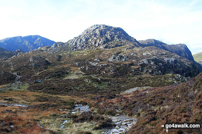
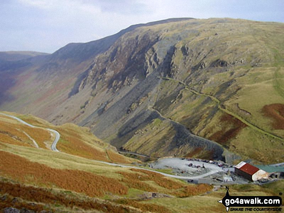
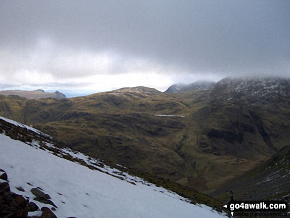
Some Photos and Pictures from Walk c151 Great Gable, Kirk Fell and Hay Stacks from Honister Hause
In no particular order . . .
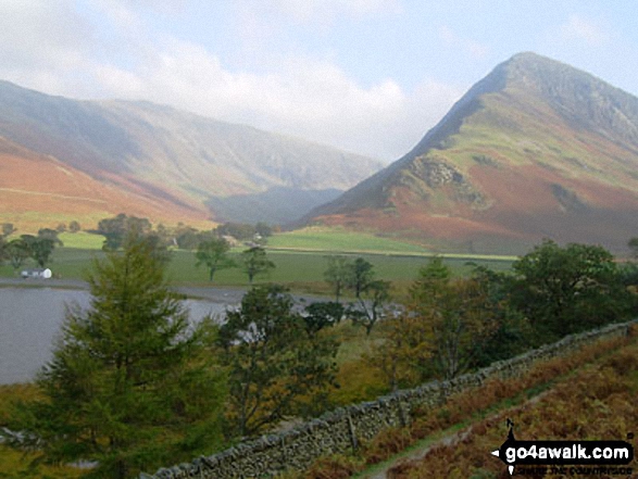
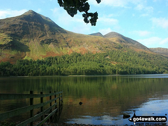
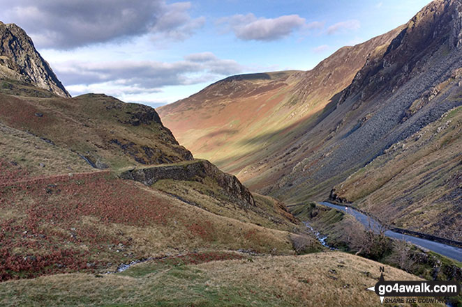
Autumn sunshine on Dale Head (left) and Fleetwith Pike (right) from Burtness Wood
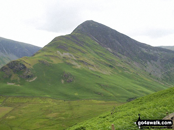
Autumn sunshine on Dale Head (left) and Fleetwith Pike (right) from Burtness Wood
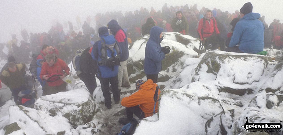
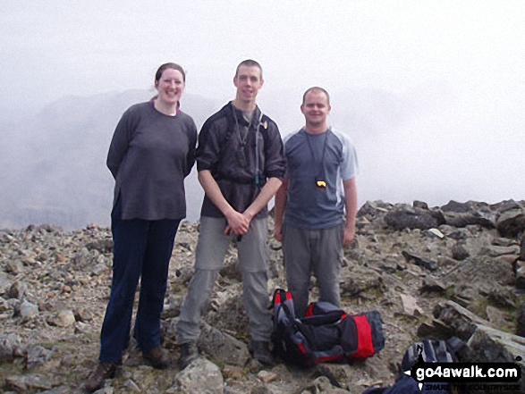
Northern Souls Walking Club at the Remembrance Day service on top of Great Gable
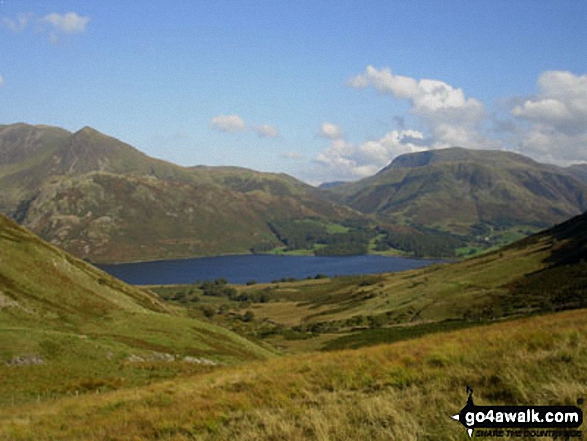
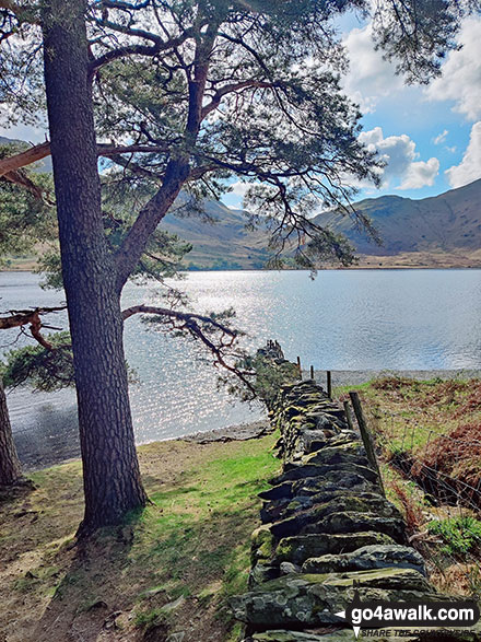
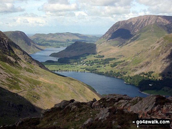
High Stile, Red Pike (Buttermere) and Dodd (Buttermere) from across Buttermere
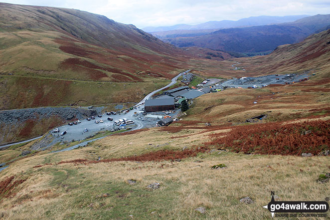
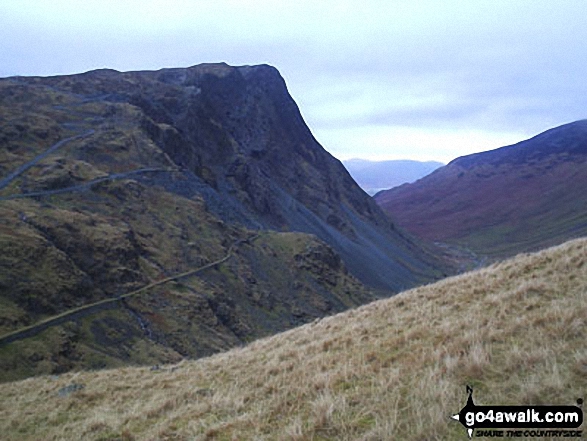
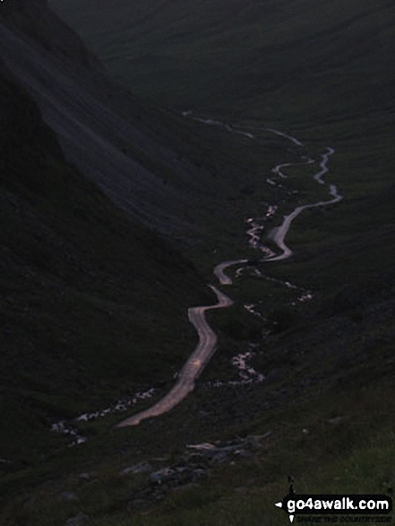
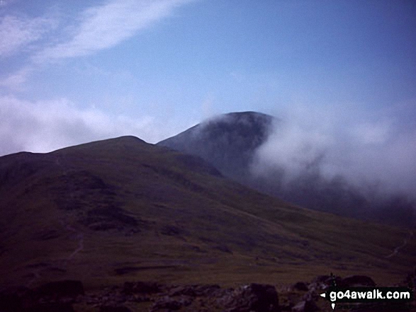
Robinson towering above Honister Pass from the lower slopes of Grey Knotts
. . . load all 188 walk photos from Walk c151 Great Gable, Kirk Fell and Hay Stacks from Honister Hause
Send us your photographs and pictures from your walks and hikes
We would love to see your photographs and pictures from walk c151 Great Gable, Kirk Fell and Hay Stacks from Honister Hause. Send them in to us as email attachments (configured for any computer) along with your name and where the picture was taken to:
and we shall do our best to publish them.
(Guide Resolution = 300dpi. At least = 660 pixels (wide) x 440 pixels (high).)

You can also submit photos from walk c151 Great Gable, Kirk Fell and Hay Stacks from Honister Hause via our Facebook Page.
NB. Please indicate where each photo was taken.


