|
Vital Statistics:
| Length: | 9½mls (15km) |
| Ascent: | 3,070ft (936m) |
| Time: | 6½hrs |
| Grade: |  |
Route outline for walk c191:
Mungrisdale - Souther Fell - River Glendermackin - Brunt Knott - Scales Beck - Scales Tarn - Sharp Edge - Atkinson Pike - Blencathra or Saddleback (Hallsfell Top) - Foule Crag - Bannerdale Crags - Bowscale Fell - Tarn Crags Top - Raven Crags - Mungrisdale
Peaks, Summits and Tops reached on this walk:
 3 English Mountains |
 4 Wainwrights |
 4 English Nuttalls |
 1 English Dewey |
 0 Wainwright Outlying Fells |
 1 Marilyn |
 0 Bridgets |
Peak Bagging Statistics for this walk:
The highest point of this walk is Blencathra or Saddleback (Hallsfell Top) at 868m (2849ft). Blencathra or Saddleback (Hallsfell Top) is classified as an English Mountain (Hewitt) (16th highest in England, 38th highest in England & Wales) and a Wainwright (No. 14).
Blencathra or Saddleback (Hallsfell Top) is also known as an English Nuttall (19th highest in England, 44th highest in England & Wales) and an English Marilyn (8th highest in England, 285th highest in the UK).
The summit of Blencathra or Saddleback (Hallsfell Top) is marked by an Ordnance Survey Trig Point.
Completing this walk will also take you to the top of Atkinson Pike at 845m (2773ft). Atkinson Pike is also known as an English Nuttall (30th highest in England, 58th highest in England & Wales).
You will also reach the summit of Bowscale Fell at 702m (2304ft). Bowscale Fell is classified as an English Mountain (Hewitt) (103rd highest in England, 170th highest in England & Wales) and a Wainwright (No. 87).
Bowscale Fell is also known as an English Nuttall (130th highest in England, 215th highest in England & Wales). The summit of Bowscale Fell is marked by an Ordnance Survey Trig Point.
Along the way you will also bag:
- Bannerdale Crags at 683m (2242ft). Bannerdale Crags is classified as an English Mountain (Hewitt) (113th highest in England, 192nd highest in England & Wales), a Wainwright (No. 97) and an English Nuttall (149th highest in England, 251st highest in England & Wales).
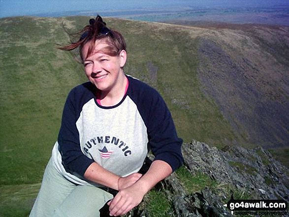
- Souther Fell at 522m (1713ft). Souther Fell is classified as a Wainwright (No. 164) and an English Dewey (132nd highest in England, 303rd highest in England & Wales) Souther Fell is pronounced 'Sue_Ter Fell'. The summit of Souther Fell is marked by a cairn..
You can find this walk and other nearby walks on these unique free-to-access Interactive Walk Planning Maps:
1:25,000 scale OS Explorer Map (orange/yellow covers):
1:50,000 scale OS Landranger Map (pink/magenta covers):
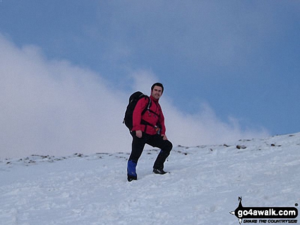
Some Photos and Pictures from Walk c191 The Glendermackin Round from Mungrisdale
In no particular order . . .
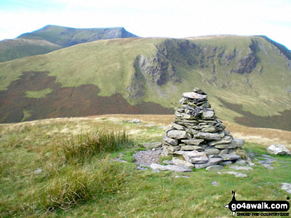
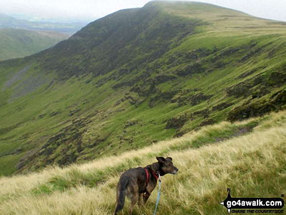
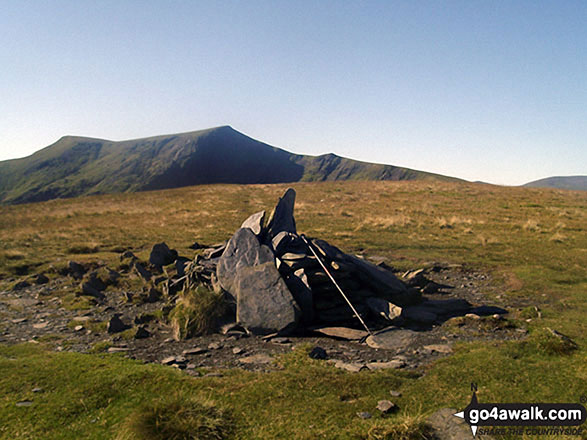
Souther Fell summit cairn with Blencathra (or Saddleback) (distance) and Bannerdale Crags in the background
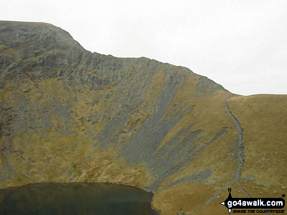
Scales Tarn from Atkinson Pike at the top of Sharp Edge, Blencathra (or Saddleback)
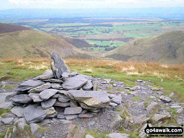
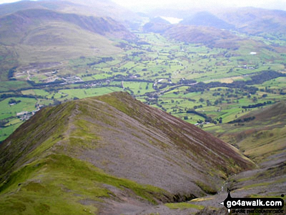
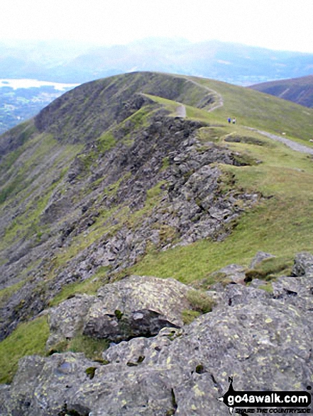
Gategill Fell, Threlkeld and The Glendermackin Valley from Blencathra or Saddleback
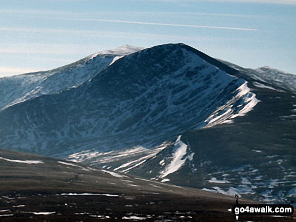
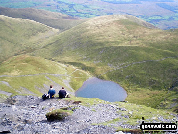
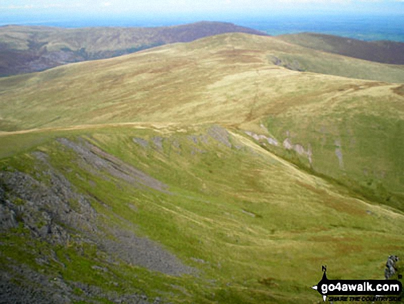
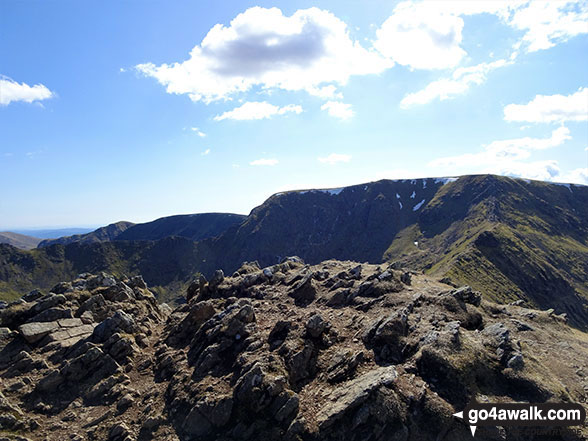
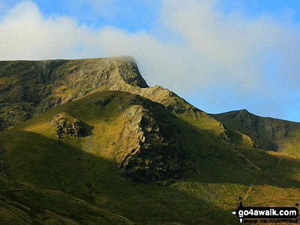
Blencathra (or Saddleback) (centre left distance) behind Atkinson Pike (centre right) with Sharp Edge prominent (mid left) from an unfamiliar viewpoint on Bowscale Fell
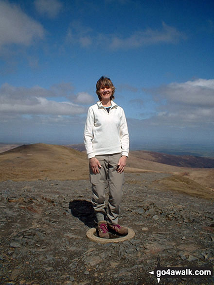
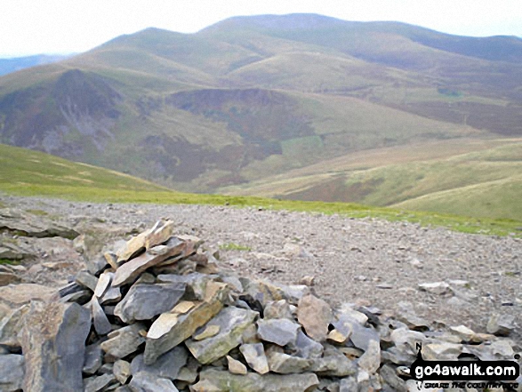
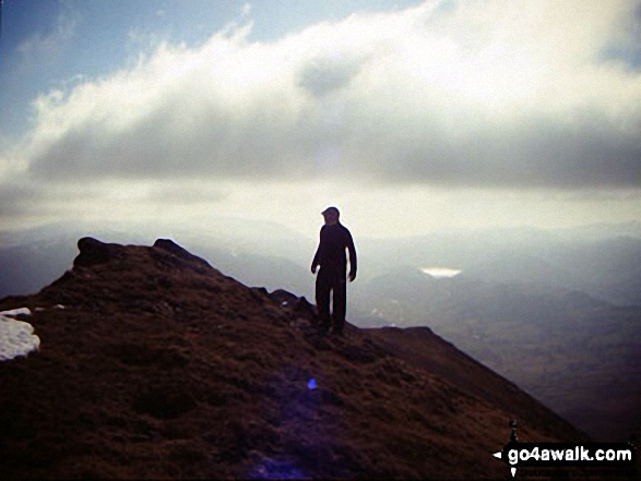
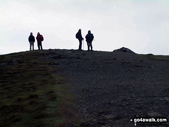
Standing on the Ordnance Survey Concrete Ring on the summit of Blencathra or Saddleback (Hallsfell Top)
Gategill Fell Top with Knowe Crags beyond from Hallsfell Top, Blencathra or Saddleback
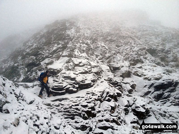
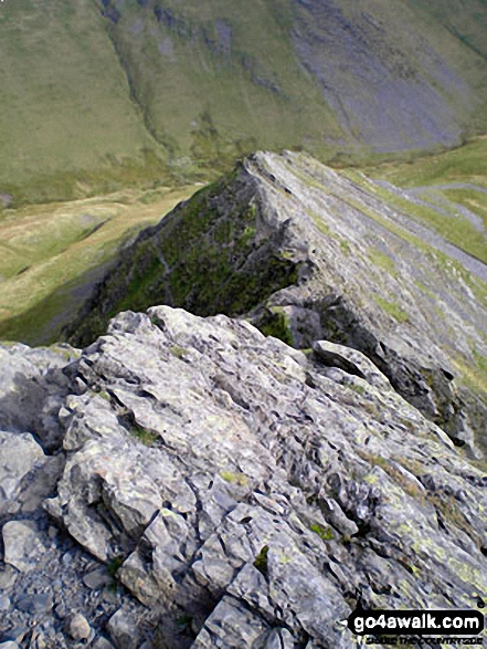
My mate Rich just strolling past the 'Bad Step' on Sharp Edge without really noticing it!
. . . load all 87 walk photos from Walk c191 The Glendermackin Round from Mungrisdale
Send us your photographs and pictures from your walks and hikes
We would love to see your photographs and pictures from walk c191 The Glendermackin Round from Mungrisdale. Send them in to us as email attachments (configured for any computer) along with your name and where the picture was taken to:
and we shall do our best to publish them.
(Guide Resolution = 300dpi. At least = 660 pixels (wide) x 440 pixels (high).)

You can also submit photos from walk c191 The Glendermackin Round from Mungrisdale via our Facebook Page.
NB. Please indicate where each photo was taken.