   |
Vital Statistics:
| Length: | 11¼mls (18km) |
| Ascent: | 2,736ft (834m) |
| Time: | 6¾hrs |
| Grade: |  |
Route outline for walk c112:
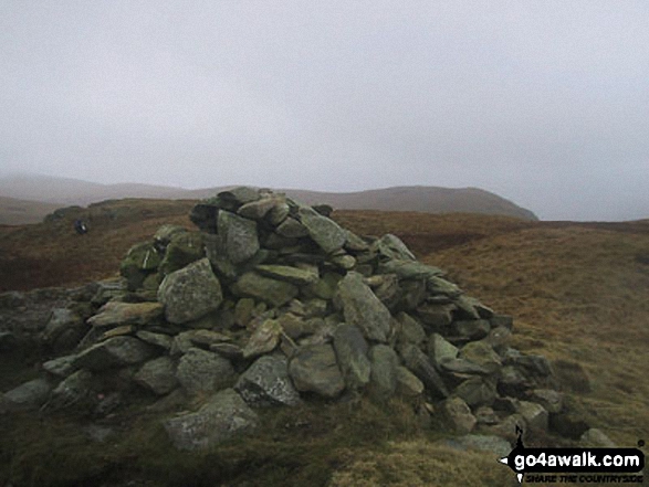
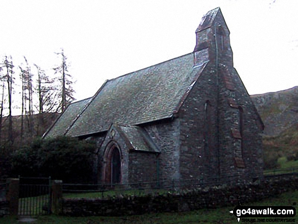
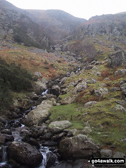
St Peter's Church (Martindale) - Howtown - Swarthbeck Gill - White Knott - Barton Fell - Whinny Crag - Arthur's Pike - Swarth Beck - Bonscale Tower - Bonscale Pike - Loadpot Hill - Wether Hill - Wether Hill (South Top) - Keasgill Head - Steel Knotts (Pikeawassa) - Steel End - St Peter's Church (Martindale) - Howtown
Peaks, Summits and Tops reached on this walk:
 1 English Mountain |
 5 Wainwrights |
 2 English Nuttalls |
 0 English Deweys |
 0 Wainwright Outlying Fells |
 0 Marilyns |
 0 Bridgets |
Peak Bagging Statistics for this walk:
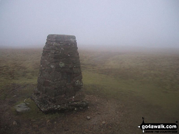
The highest point of this walk is Wether Hill (South Top) at 674m (2212ft). Wether Hill (South Top) is also known as an English Nuttall (162nd highest in England, 275th highest in England & Wales).
Completing this walk will also take you to the top of Loadpot Hill at 672m (2205ft). Loadpot Hill is classified as an English Mountain (Hewitt) (125th highest in England, 210th highest in England & Wales) and a Wainwright (No. 102).
Loadpot Hill is also known as an English Nuttall (167th highest in England, 281st highest in England & Wales). The summit of Loadpot Hill is marked by an Ordnance Survey Trig Point.
You will also reach the summit of Wether Hill at 670m (2199ft). Wether Hill is classified as an Wainwright (No. 103).
Along the way you will also bag:
- Arthur's Pike at 533m (1749ft). Arthur's Pike is classified as a Wainwright (No. 157)
- Bonscale Pike at 524m (1720ft). Bonscale Pike is classified as a Wainwright (No. 162)
- Steel Knotts (Pikeawassa) at 432m (1418ft). Steel Knotts (Pikeawassa) is classified as a Wainwright (No. 195)
You can find this walk and other nearby walks on these unique free-to-access Interactive Walk Planning Maps:
1:25,000 scale OS Explorer Map (orange/yellow covers):
1:50,000 scale OS Landranger Map (pink/magenta covers):
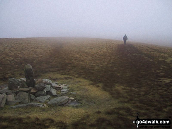
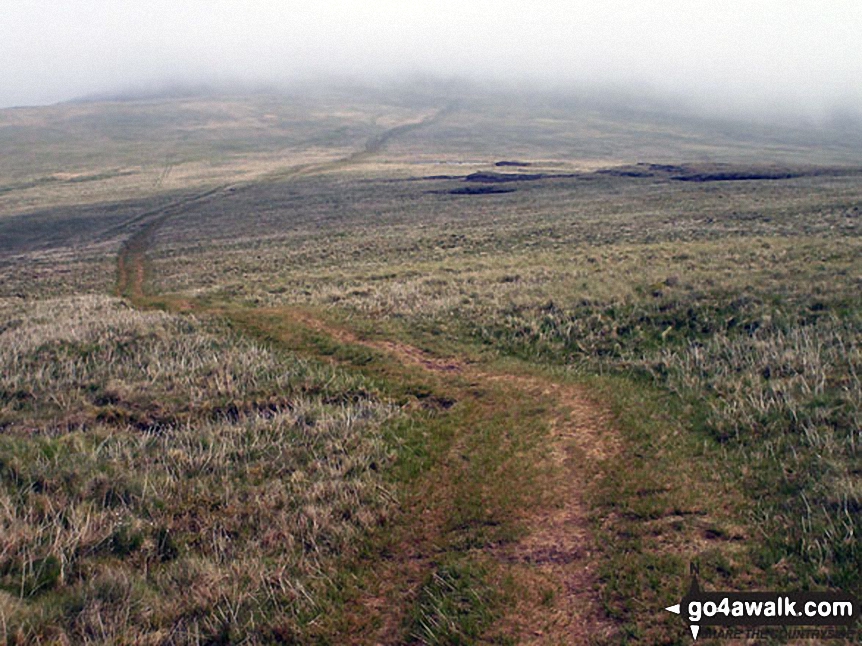
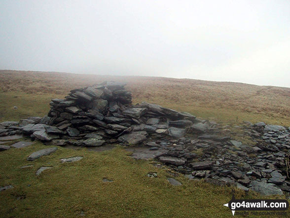
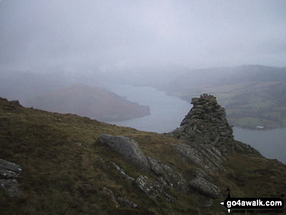
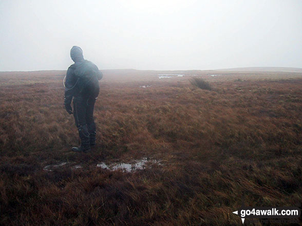
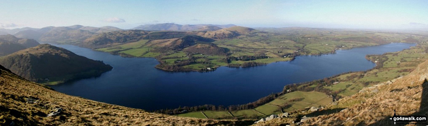
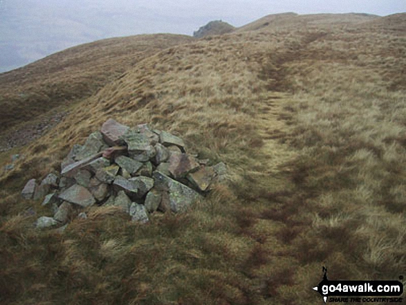
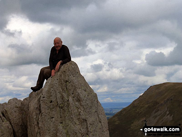
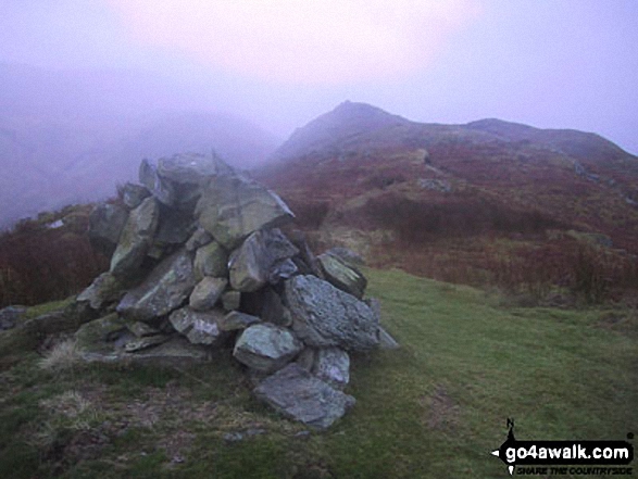
Some Photos and Pictures from Walk c112 Bonscale Pike and Wether Hill from Howtown
In no particular order . . .
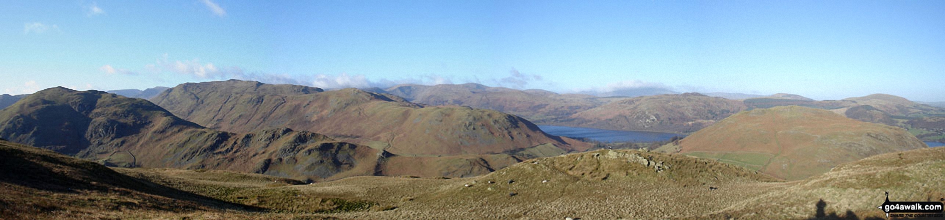
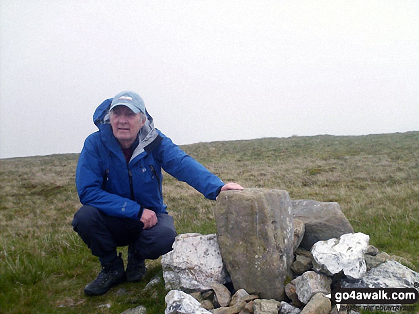
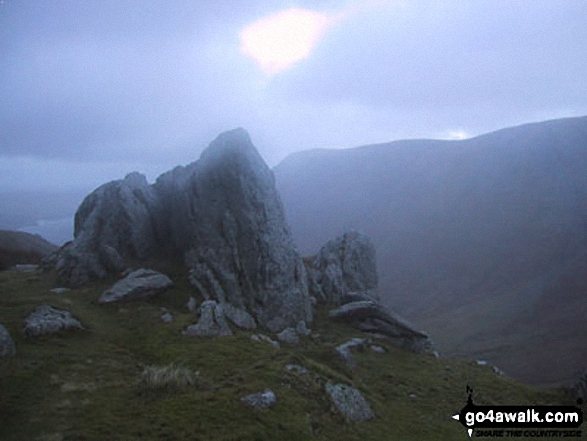
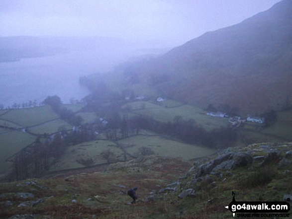
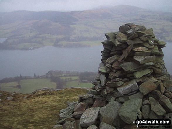
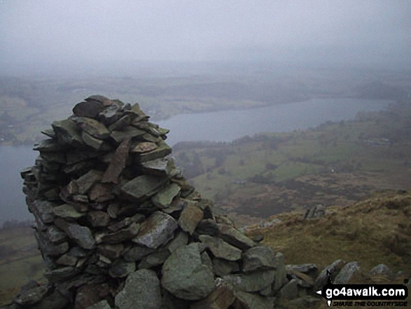
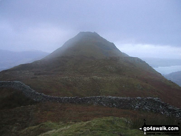
*Beda Head (Beda Fell) with Place Fell beyond (left), Ullswater and Hallin Fell (right) from Steel Knotts (Pikeawassa)
. . . load all 21 walk photos from Walk c112 Bonscale Pike and Wether Hill from Howtown
Send us your photographs and pictures from your walks and hikes
We would love to see your photographs and pictures from walk c112 Bonscale Pike and Wether Hill from Howtown. Send them in to us as email attachments (configured for any computer) along with your name and where the picture was taken to:
and we shall do our best to publish them.
(Guide Resolution = 300dpi. At least = 660 pixels (wide) x 440 pixels (high).)

You can also submit photos from walk c112 Bonscale Pike and Wether Hill from Howtown via our Facebook Page.
NB. Please indicate where each photo was taken.


