   |
Vital Statistics:
| Length: | 6mls (9.5km) |
| Ascent: | 2,845ft (867m) |
| Time: | 5hrs |
| Grade: |  |
Route outline for walk c118:
Seathwaite (Borrowdale) - Stockley Bridge - Styhead Tarn - Sty Head - Great Gable - Westmorland Cairn - Windy Gap - Green Gable - Mitchell Cove - Blackmoor Pols - Base Brown - Gillercomb - Sour Milk Gill (Borrowdale) - Seathwaite (Borrowdale)
Peaks, Summits and Tops reached on this walk:
 3 English Mountains |
 3 Wainwrights |
 3 English Nuttalls |
 0 English Deweys |
 0 Wainwright Outlying Fells |
 1 Marilyn |
 0 Bridgets |
Peak Bagging Statistics for this walk:
The highest point of this walk is Great Gable at 899m (2951ft). Great Gable is classified as an English Mountain (Hewitt) (9th highest in England, 25th highest in England & Wales) and a Wainwright (No. 7).
Great Gable is also known as an English Nuttall (11th highest in England, 28th highest in England & Wales) and an English Marilyn (4th highest in England, 238th highest in the UK).
Completing this walk will also take you to the top of Green Gable at 801m (2629ft). Green Gable is classified as an English Mountain (Hewitt) (43rd highest in England, 78th highest in England & Wales) and a Wainwright (No. 34).
Green Gable is also known as an English Nuttall (50th highest in England, 93rd highest in England & Wales).
You will also reach the summit of Base Brown at 646m (2120ft). Base Brown is classified as an English Mountain (Hewitt) (148th highest in England, 254th highest in England & Wales) and a Wainwright (No. 117).
Base Brown is also known as an English Nuttall (196th highest in England, 338th highest in England & Wales).
You can find this walk and other nearby walks on these unique free-to-access Interactive Walk Planning Maps:
1:25,000 scale OS Explorer Map (orange/yellow covers):
1:50,000 scale OS Landranger Maps (pink/magenta covers):
Some Photos and Pictures from Walk c118 Great Gable from Seathwaite (Borrowdale)
In no particular order . . .
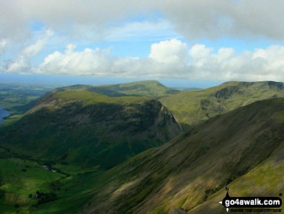
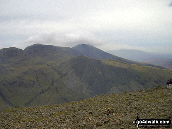
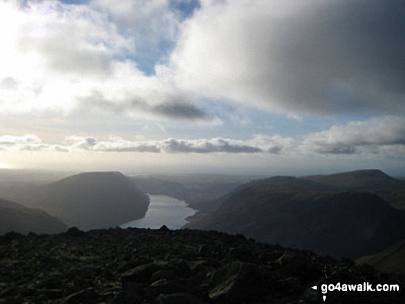
Wast Water, Wasdale and Yewbarrow with Middle Fell (left) Seatallan (background centre), Red Pike (Wasdale) (right) and the shoulder of Kirk Fell (centre foreground) from Westmorland Cairn on Great Gable
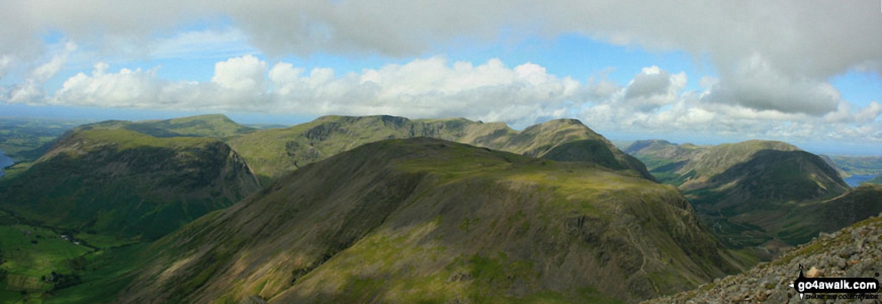
Westmorland Cairn, Great Gable panorama featuring Kirk Fell (foreground centre), Wast Water, Wasdale and Yewbarrow with Middle Fell and Seatallan beyond (left), Red Pike (Wasdale), Little Scoat Fell and Pillar behind Kirk Fell (centre) and Ennerdale with Red Pike (Buttermere), High Stile, High Crag and Crummock Water (right)
Beck Head and Beckhead Tarn with Kirk Fell beyond from below Westmorland Cairn, Great Gable
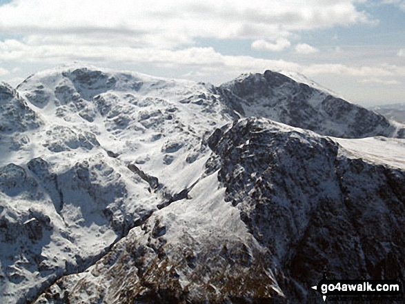
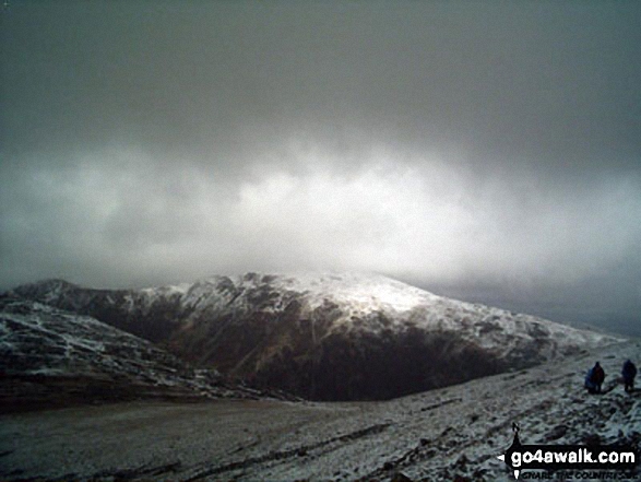
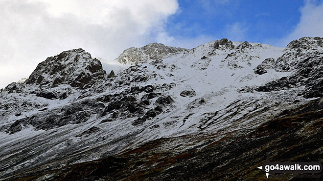
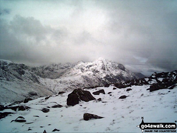
Snow on Scafell Pike (left), Sca Fell (right top) and Lingmell (right centre) from Westmorland Cairn on Great Gable
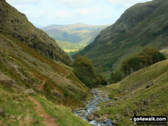
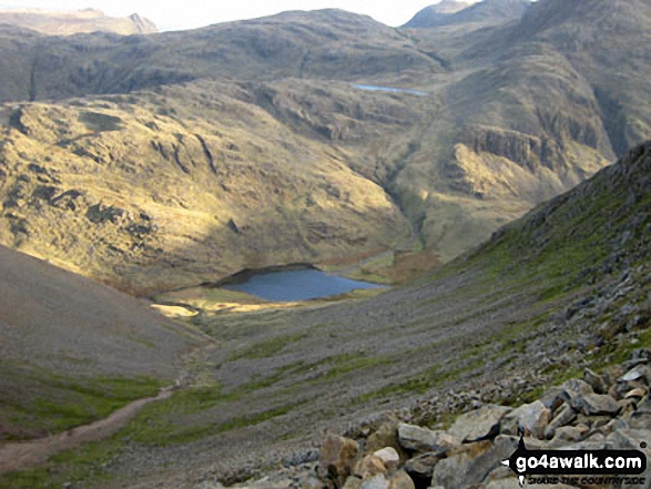
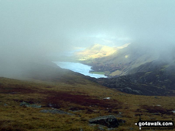
Looking down Styhead Gill from Sty Head to a sunlit Borrowdale with Bleaberry Fell the high point in the distance
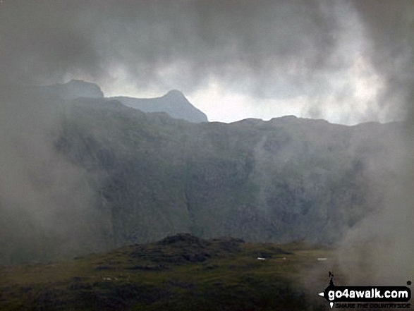
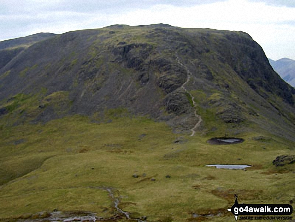
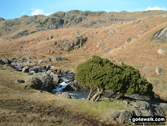
Harrison Stickle and Pike of Stickle (Pike o' Stickle) framed by cloud whilst ascending Green Gable
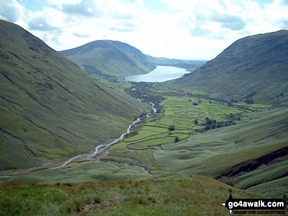
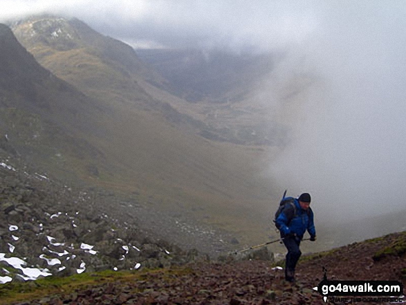
Wasdale Head and Wast Water from Gavel Neese on the lower slopes of Great Gable
. . . load all 68 walk photos from Walk c118 Great Gable from Seathwaite (Borrowdale)
Send us your photographs and pictures from your walks and hikes
We would love to see your photographs and pictures from walk c118 Great Gable from Seathwaite (Borrowdale). Send them in to us as email attachments (configured for any computer) along with your name and where the picture was taken to:
and we shall do our best to publish them.
(Guide Resolution = 300dpi. At least = 660 pixels (wide) x 440 pixels (high).)

You can also submit photos from walk c118 Great Gable from Seathwaite (Borrowdale) via our Facebook Page.
NB. Please indicate where each photo was taken.


