Walk c297 The Martindale Horseshoe from Howtown

Fantastic high level walk with glorious views


Route outline for walk c297:

St Peter's Church (Martindale)  -  Howtown  -  Steel Knotts (Pikeawassa)  -  Keasgill Head  -  High Raise (Mardale)  -  Kidsty Pike  -  Rampsgill Head  -  The Knott  -  Rest Dodd  -  The Nab  -  Satura Crag  -  Brock Crags  -  Angle Tarn (Martindale)  -  Angletarn Pikes  -  Bedafel Knott  -  Beda Head (Beda Fell)  -  Winter Crag  -  Christy Bridge  -  Howegrain Beck  -  Martindale  -  St Peter's Church (Martindale)  -  Howtown


Peaks, Summits and Tops reached on this walk:

hewitt
3
English
Mountains
Wainwright
9
Wainwrights
 English Nuttalls
4
English
Nuttalls
Dewey
2
English
Deweys
Wainwright Outlying Fell
0
Wainwright
Outlying Fells
marilyn
0
Marilyns
Bridget
0
Bridgets

Peak Bagging Statistics for this walk:

The highest point of this walk is High Raise (Mardale) at 804m (2636ft). High Raise (Mardale) is classified as an English Mountain (Hewitt) (39th highest in England, 73rd highest in England & Wales) and a Wainwright (No. 31).

High Raise (Mardale) is also known as an English Nuttall (46th highest in England, 88th highest in England & Wales).

Completing this walk will also take you to the top of Rampsgill Head at 792m (2600ft). Rampsgill Head is classified as an English Mountain (Hewitt) (46th highest in England, 84th highest in England & Wales) and a Wainwright (No. 39).

Rampsgill Head is also known as an English Nuttall (55th highest in England, 103rd highest in England & Wales).

You will also reach the summit of Kidsty Pike at 780m (2560ft). Kidsty Pike is classified as an Wainwright (No. 46).

Kidsty Pike is also known as an English Nuttall (64th highest in England, 115th highest in England & Wales).

Along the way you will also bag:


You can find more walks near this one on these unique free-to-access Interactive Walk Planning Maps: (click/TAP to select)

The Lake District National Park


1:25,000 scale OS Explorer Map (the ones with orange/yellow covers):

OL5 The English Lakes - North Eastern area


1:50,000 scale OS Landranger Map (the ones with pink/magenta covers):

90 Penrith & Keswick, Ambleside


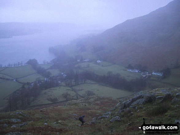
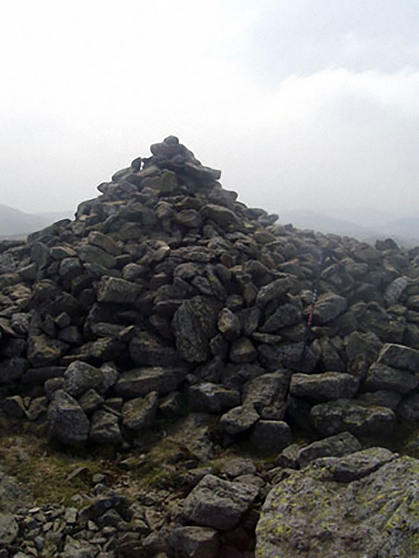
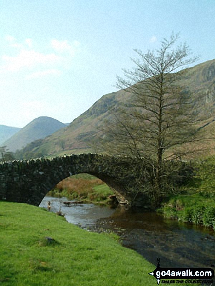
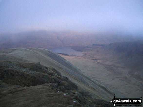
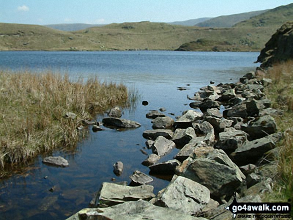
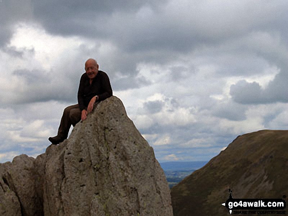
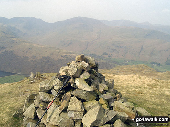
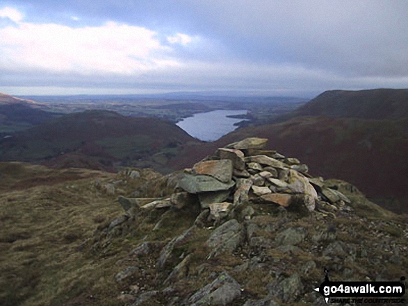
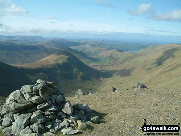
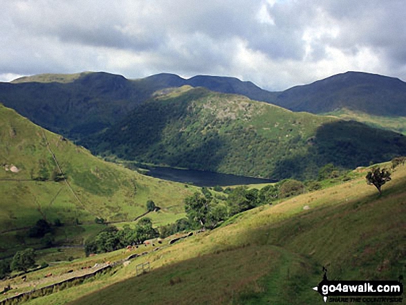
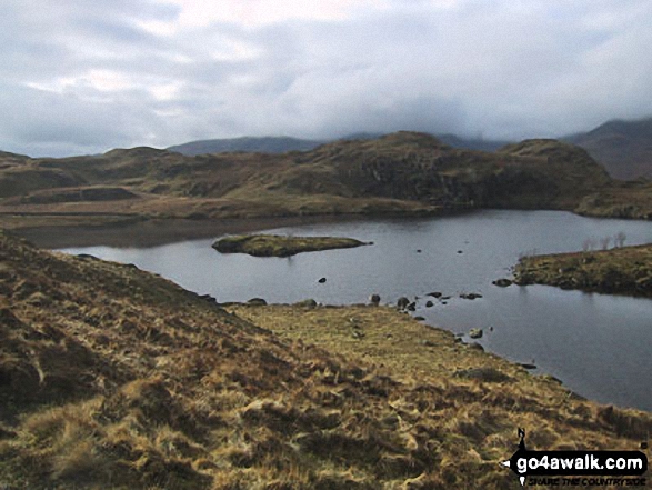
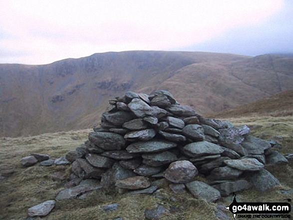
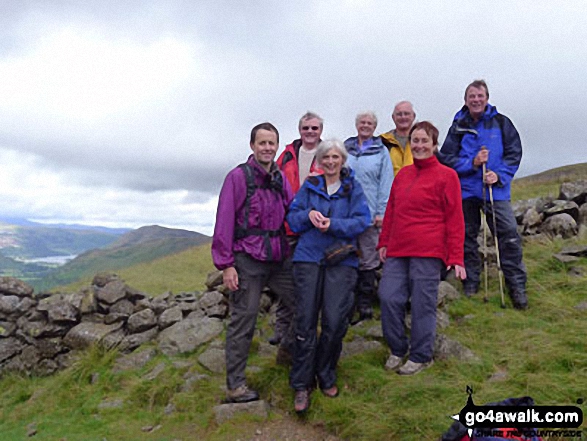
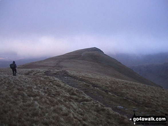
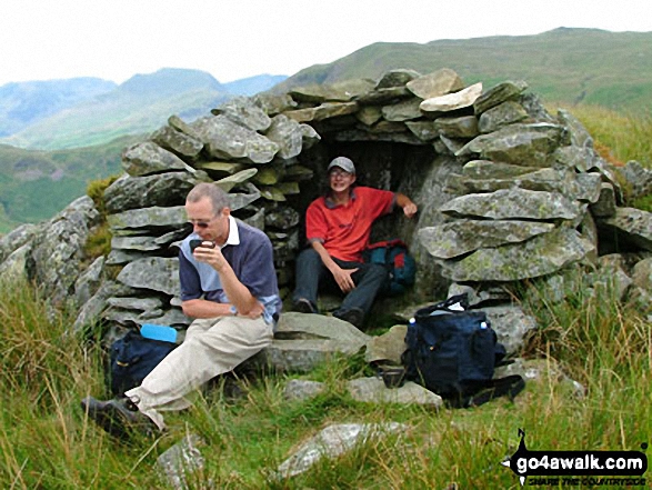
Some Photos and Pictures from Walk c297 The Martindale Horseshoe from Howtown

In no particular order . . .
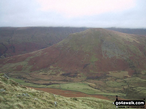
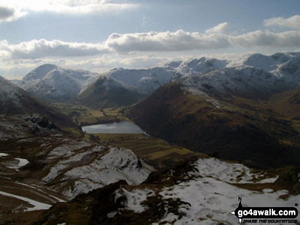
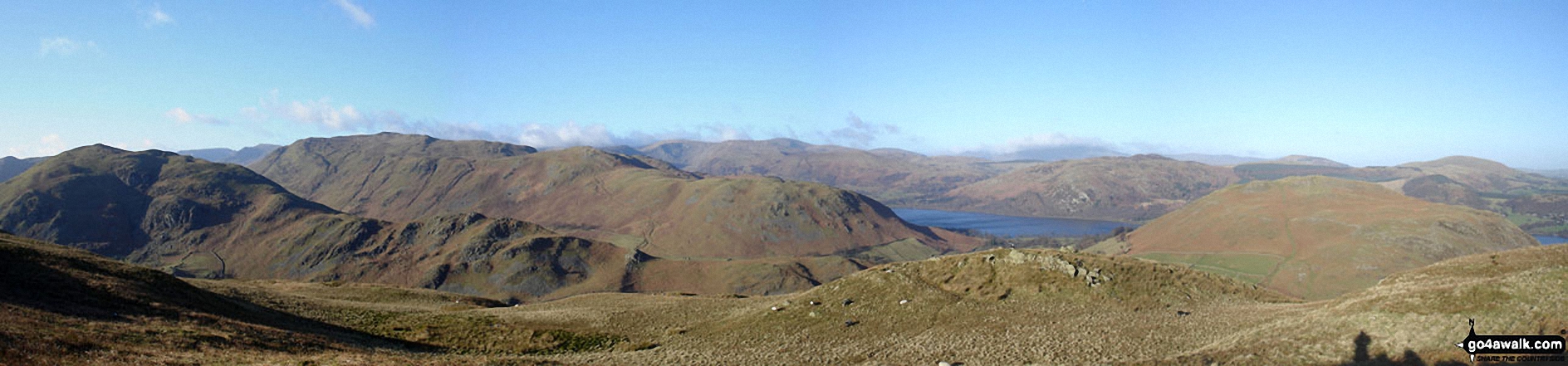
Walk c297 The Martindale Horseshoe from Howtown - The Nab (Martindale) summit cairn

The Nab (Martindale) summit cairn

Photo: Christine Shepherd (875)

Walk c297 The Martindale Horseshoe from Howtown - My daughter taking in the wise words of Wainwright on Angletarn Pikes

My daughter taking in the wise words of Wainwright on Angletarn Pikes

Photo: Kirstin Foster (1)

Walk c297 The Martindale Horseshoe from Howtown - High Raise (Mardale) summit cairn

High Raise (Mardale) summit cairn

Photo: Robert Hall (26)

Walk c297 The Martindale Horseshoe from Howtown - Martindale from the lower slopes of Beda Head (Beda Fell)

Martindale from the lower slopes of Beda Head (Beda Fell)

Photo: Stephen Collins (15)

Walk c297 The Martindale Horseshoe from Howtown - Hallin Crag and Ullswater from Beda Head (Beda Fell)

Hallin Crag and Ullswater from Beda Head (Beda Fell)

Photo: Stephen Collins (16)

Walk c297 The Martindale Horseshoe from Howtown - On the summit of High Raise (Langdale)

On the summit of High Raise (Langdale)

Photo: Christine Shepherd (847)

Walk c297 The Martindale Horseshoe from Howtown - Approaching Kidsty Pike from Rampsgill Head

Approaching Kidsty Pike from Rampsgill Head

Photo: Paul Holroyd (8)

Walk c297 The Martindale Horseshoe from Howtown - Rest Dodd (far left), The Nab (left), The Ramps Gill Valley, Wether Hill, Wether Hill (South Top) Keasgill Head, Red Crag, Raven Howe and High Raise (Mardale) (right) from Rampsgill Head

Rest Dodd (far left), The Nab (left), The Ramps Gill Valley, Wether Hill, Wether Hill (South Top) Keasgill Head, Red Crag, Raven Howe and High Raise (Mardale) (right) from Rampsgill Head

Photo: Andy Malcolm (235)

Walk c297 The Martindale Horseshoe from Howtown - The summit cairn on Brock Crags

The summit cairn on Brock Crags

Photo: Christine Shepherd (502)

Walk c297 The Martindale Horseshoe from Howtown - Martindale

Martindale

Photo: David Hayter (104)

Walk c297 The Martindale Horseshoe from Howtown - Angle Tarn (Martindale)in the snow

Angle Tarn (Martindale)in the snow

Photo: David Hare (3)

Walk c297 The Martindale Horseshoe from Howtown - Rampsgill Head from Rest Dodd summit

Rampsgill Head from Rest Dodd summit

Photo: Robert Hall (20)

Walk c297 The Martindale Horseshoe from Howtown - Cloud cover over Angle Tarn (Martindale)

Cloud cover over Angle Tarn (Martindale)

Photo: Christine Shepherd (38)

Walk c297 The Martindale Horseshoe from Howtown - On Kidsty Pike

On Kidsty Pike

Photo: Dave Ditchburn (1)

Walk c297 The Martindale Horseshoe from Howtown - The Nab (Martindale) from Beda Head (Beda Fell)

The Nab (Martindale) from Beda Head (Beda Fell)

Photo: Stephen Collins (17)

Walk c297 The Martindale Horseshoe from Howtown - Twopenny Crag from Kidsty Pike

Twopenny Crag from Kidsty Pike

Photo: Robert Hall (24)

Walk c297 The Martindale Horseshoe from Howtown - The Nab from Christy Bridge

The Nab from Christy Bridge

Photo: Carey Hammond (1)

Walk c297 The Martindale Horseshoe from Howtown - Angle Tarn (Martindale) frozen in the snow

Angle Tarn (Martindale) frozen in the snow

Photo: David Hare (2)

Walk c297 The Martindale Horseshoe from Howtown - Rampsgill Head from The Knott summit

Rampsgill Head from The Knott summit

Photo: Robert Hall (21)


. . . load all 63 walk photos from Walk c297 The Martindale Horseshoe from Howtown


Send us your photographs and pictures from your walks and hikes

We would love to see your photographs and pictures from walk c297 The Martindale Horseshoe from Howtown. Send them in to us as email attachments (configured for any computer) along with your name and where the picture was taken to:

and we shall do our best to publish them.

(Guide Resolution = 300dpi. At least = 660 pixels (wide) x 440 pixels (high).)

Send us your walking and hiking photographs and pictures from walk c297 The Martindale Horseshoe from Howtown via Facebook

You can also submit photos from walk c297 The Martindale Horseshoe from Howtown via our Facebook Page.

NB. Please indicate where each photo was taken.


Follow go4awalk.com on Twitter Follow go4awalk.com on Facebook


Find new Friends to go walking with

Walk all 214 Wainwrights in just 59 Walks. Download GPS Waypoints - Great Walks you must not miss!

Walk The Yorkshire Three Peaks Challenge Walk - All the Latest Route Information, GPS Waypoints and Split Times to keep you on Schedule

Walk The British Three Peaks Challenge Walk - All the Latest Route Information and GPS Waypoints

See our pick of The Best Walks in The Lake District - Great Walks you must not miss!

Walk our pick of the Best Lake District Ridge Walks - Great Walks you must not miss!

Walk our pick of the Best Lake District Walks to do in the rain - Great Walks you must not miss!

Walk our pick of The Best Walks in Snowdonia - Great Walks you must not miss!

Walk our pick of The Best Ridge Walks in Wales - Walks you must not miss!

Walk our pick of The Best Walks in The Brecon Beacons - Great Walks you must not miss!

Walk our pick of The Best Walks in The Yorkshire Dales - Walks you must not miss!

Walk our pick of The Best Walks in The Peak District - Walks you must not miss!

Walk our pick of The Best Walks in The Forest of Bowland - Walks you must not miss!

Walk our pick of The Best Walks in Shropshire - Walks you must not miss!

Walk our pick of The Best Walks in Cheshire - Walks you must not miss!

Walk our pick of The Best Walks in Lancashire - Walks you must not miss!

Not sure where to walk next? Try Peak Bagging - Great Walks you must not miss!

Not sure where to walk next? Walk part of a National Trail - Great Walks you must not miss!

Walks with Downloadable and Uploadable GPS Waypoint Data

Walking Kit and Gear Tested by Walkers

Full Site Search
Do not miss our pick of the Best Walks in Britain