![]()
Bag the 66 Mountains, Tops, Peaks and Hills in Dartmoor National Park, England
Dartmoor National Park is located in South West England, wholly within the county of Devon.
There are 66 'tops' to walk up, bag and conquer, the highest point is High Willhays and the area includes:
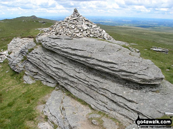 The summit of High Willhays, the highest point in Dartmoor
Photo: David Rodgers
| 0 | Wainwrights | |
| 1 | Mountain (aka Hewitt) | |
| 13 | Deweys | |
| 2 | Nuttalls | |
| 0 | Wainwright Outlying Fells | |
| 1 | Marilyn | |
| 51 | Hills (aka Bridgets) and | |
| 20 | Mountains, Tops, Peaks or Hills with a Trig Point on or near the top |
View these Mountains, Peaks, Tops and Hills in Dartmoor:
- On a Downloadable PDF you can Print or Save to your Phone#
- On an Interactive Google Map with a list of tops below it.
(makes it easier to locate a particular top) - On a Detailed List in:
Alphabetical Order | Height Order - On one page with 'yet-to-be-bagged' listed 1st
& then 'already-bagged' tops listed 2nd in:
Alphabetical Order | Height Order - On one page with 'already-bagged' tops listed 1st
& then 'yet-to-be-bagged' tops listed 2nd in:
Alphabetical Order | Height Order
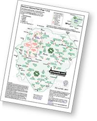 Downloadable Peak Baggers Map you can Print or Save to your Phone detailing Dartmoor
# Whether you print a copy or download it to your phone, this Peak Baggers' Map will be essential if you want to know what's what when you are up in the hills and mountains and cannot get a phone signal.


