   |
Vital Statistics:
| Length: | 10mls (16km) |
| Ascent: | 3,382ft (1,031m) |
| Time: | 7hrs |
| Grade: |  |
Route outline for walk c220:
Glenridding - Birkhouse Moor - Hole-in-the-Wall - Red Tarn (Helvellyn) - Bleaberry Crag - Low Spying How - High Spying How - Striding Edge (High Spying How) - Helvellyn - Nethermost Pike - High Crag (Helvellyn) - Dollywaggon Pike - Grisdale Tarn - Ruthwaite Lodge - Grisedale Beck - Brownend Plantation - Lanty's Tarn - Keldas - Glenridding
Peaks, Summits and Tops reached on this walk:
 3 English Mountains |
 4 Wainwrights |
 5 English Nuttalls |
 0 English Deweys |
 0 Wainwright Outlying Fells |
 1 Marilyn |
 0 Bridgets |
Peak Bagging Statistics for this walk:
The highest point of this walk is Helvellyn at 950m (3118ft). Helvellyn is classified as an English Mountain (Hewitt) (3rd highest in England, 12th highest in England & Wales) and a Wainwright (No. 3).
Helvellyn is also known as an English Nuttall (4th highest in England, 14th highest in England & Wales) and an English Marilyn (2nd highest in England, 165th highest in the UK).
The summit of Helvellyn is marked by an Ordnance Survey Trig Point.
Completing this walk will also take you to the top of Nethermost Pike at 891m (2924ft). Nethermost Pike is classified as an Wainwright (No. 9).
Nethermost Pike is also known as an English Nuttall (14th highest in England, 34th highest in England & Wales).
You will also reach the summit of Striding Edge (High Spying How) at 863m (2831ft). Striding Edge (High Spying How) is classified as an English Mountain (Hewitt) (19th highest in England, 42nd highest in England & Wales)
Striding Edge (High Spying How) is also known as an English Nuttall (23rd highest in England, 49th highest in England & Wales).
Along the way you will also bag:
- Dollywaggon Pike at 858m (2816ft). Dollywaggon Pike is classified as an English Mountain (Hewitt) (21st highest in England, 44th highest in England & Wales), a Wainwright (No. 18) and an English Nuttall (25th highest in England, 51st highest in England & Wales).
- Birkhouse Moor at 718m (2356ft). Birkhouse Moor is classified as a Wainwright (No. 79) and an English Nuttall (110th highest in England, 188th highest in England & Wales)
You can find this walk and other nearby walks on these unique free-to-access Interactive Walk Planning Maps:
1:25,000 scale OS Explorer Map (orange/yellow covers):
1:50,000 scale OS Landranger Map (pink/magenta covers):
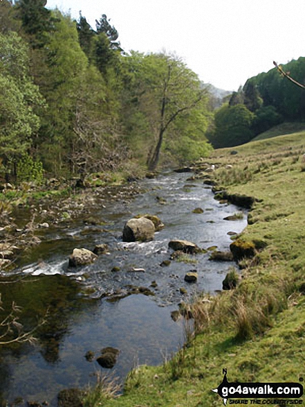
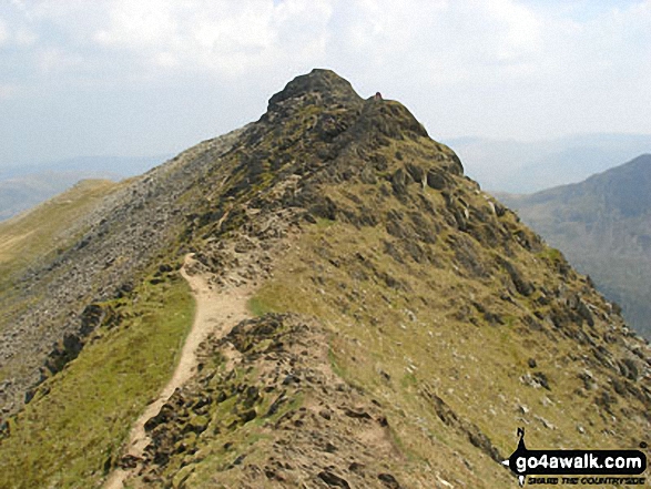
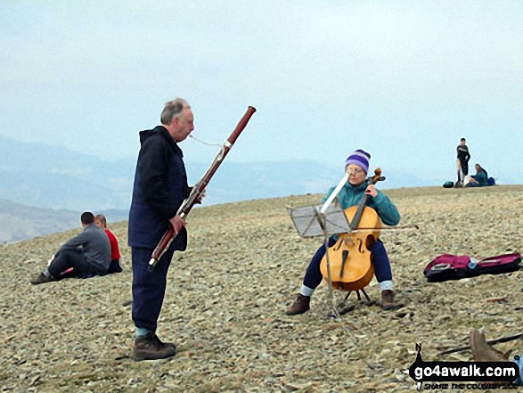
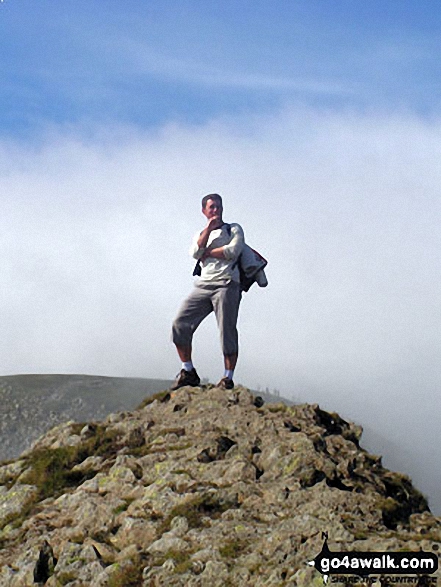
Some Photos and Pictures from Walk c220 Helvellyn via Striding Edge (High Spying How) from Glenridding
In no particular order . . .
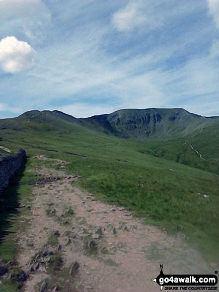
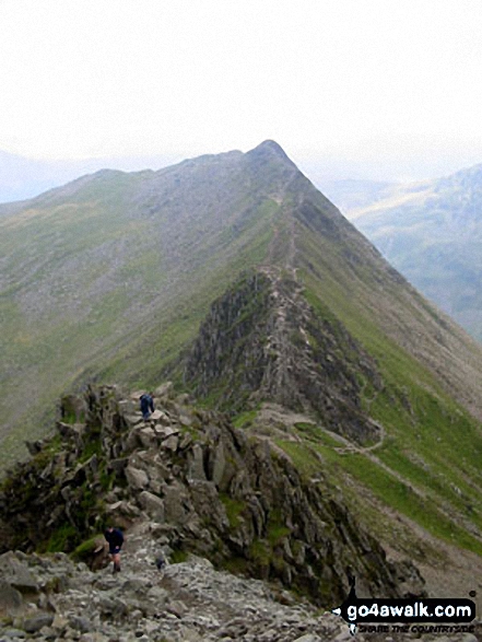
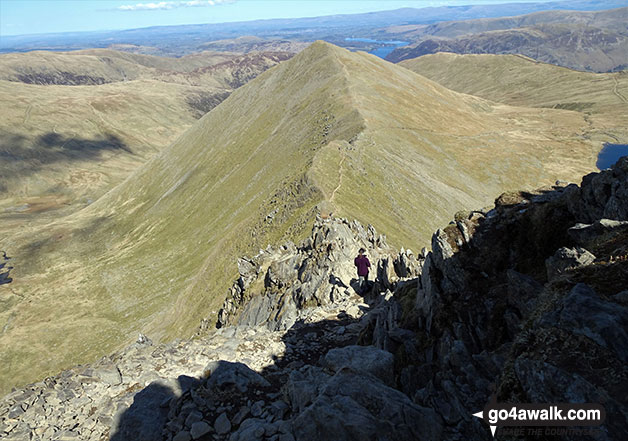
Striding Edge (High Spying How) (left) and Helvellyn from the approach to Hole-in-the-Wall
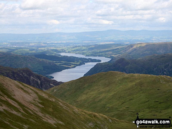
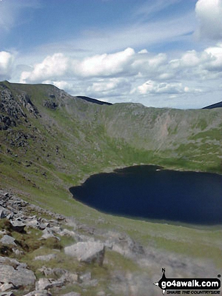
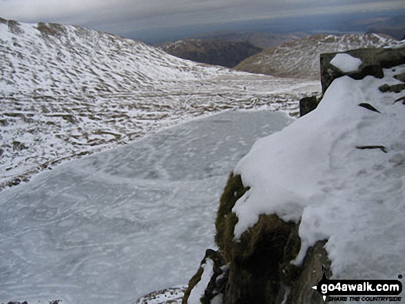
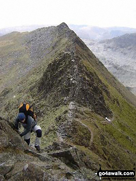
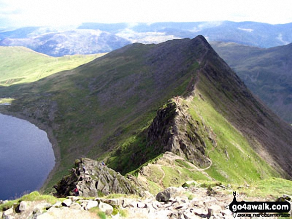
Swirral Edge and Red Tarn (Helvellyn) from Striding Edge (High Spying How)
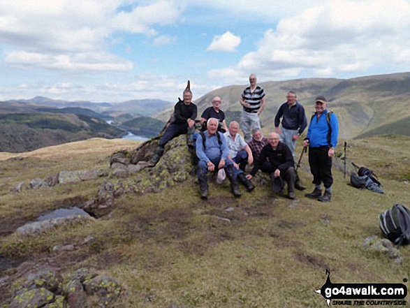
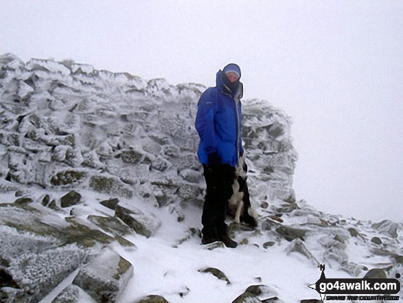
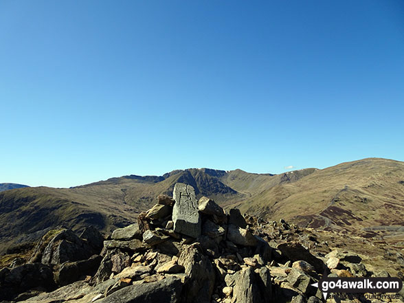
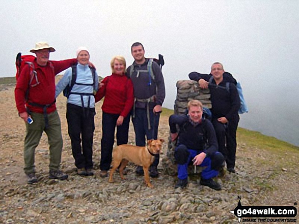
Runaway Ramblers from Bury on top of Steel Fell (Dead Pike) in early May
Send us your photographs and pictures from your walks and hikes
We would love to see your photographs and pictures from walk c220 Helvellyn via Striding Edge (High Spying How) from Glenridding. Send them in to us as email attachments (configured for any computer) along with your name and where the picture was taken to:
and we shall do our best to publish them.
(Guide Resolution = 300dpi. At least = 660 pixels (wide) x 440 pixels (high).)

You can also submit photos from walk c220 Helvellyn via Striding Edge (High Spying How) from Glenridding via our Facebook Page.
NB. Please indicate where each photo was taken.


