   |
Vital Statistics:
| Length: | 10½mls (17km) |
| Ascent: | 3,417ft (1,041m) |
| Time: | 7¼hrs |
| Grade: |  |

Route outline for walk c204:
Stockdale - Sadgill Bridge - Stockdale Beck - Great Howe - Grey Crag (Sleddale) - Tarn Crag (Sleddale) - Sleddale Fell - Selside Brow - Branstree (Artlecrag Pike) - Gatescarth Pass - Adam Seat - Harter Fell (Mardale) - Kentmere Pike - Goat Scar - Shipman Knotts - Wray Crag - Stockdale
Peaks, Summits and Tops reached on this walk:
 5 English Mountains |
 6 Wainwrights |
 5 English Nuttalls |
 0 English Deweys |
 0 Wainwright Outlying Fells |
 1 Marilyn |
 2 Bridgets |
Peak Bagging Statistics for this walk:
The highest point of this walk is Harter Fell (Mardale) at 779m (2556ft). Harter Fell (Mardale) is classified as an English Mountain (Hewitt) (54th highest in England, 96th highest in England & Wales) and a Wainwright (No. 47).
Harter Fell (Mardale) is also known as an English Nuttall (66th highest in England, 118th highest in England & Wales).
Completing this walk will also take you to the top of Kentmere Pike at 730m (2396ft). Kentmere Pike is classified as an English Mountain (Hewitt) (80th highest in England, 138th highest in England & Wales) and a Wainwright (No. 72).
Kentmere Pike is also known as an English Nuttall (101st highest in England, 172nd highest in England & Wales). The summit of Kentmere Pike is marked by an Ordnance Survey Trig Point.
You will also reach the summit of Branstree (Artlecrag Pike) at 713m (2340ft). Branstree (Artlecrag Pike) is classified as an English Mountain (Hewitt) (92nd highest in England, 155th highest in England & Wales) and a Wainwright (No. 82).
Branstree (Artlecrag Pike) is also known as an English Nuttall (116th highest in England, 195th highest in England & Wales).
Along the way you will also bag:
- Adam Seat at 666m (2186ft). Adam Seat is known as an English Bridget.
- Tarn Crag (Sleddale) at 664m (2179ft). Tarn Crag (Sleddale) is classified as an English Mountain (Hewitt) (132nd England, 225th highest in England & Wales), a Wainwright (No. 104), an English Nuttall (177th highest in England, 300th highest in England & Wales) and an English Marilyn (42nd England, 667th highest in the UK).
- Grey Crag (Sleddale) at 638m (2094ft). Grey Crag (Sleddale) is classified as an English Mountain (Hewitt) (153rd highest in England, 261st highest in England & Wales), a Wainwright (No. 118) and an English Nuttall (202nd highest in England, 350th highest in England & Wales).
- Goat Scar at 631m (2071ft). Goat Scar is known as an English Bridget.
- Shipman Knotts at 587m (1927ft). Shipman Knotts is classified as a Wainwright (No. 133)
You can find this walk and other nearby walks on these unique free-to-access Interactive Walk Planning Maps:
1:25,000 scale OS Explorer Map (orange/yellow covers):
1:50,000 scale OS Landranger Map (pink/magenta covers):
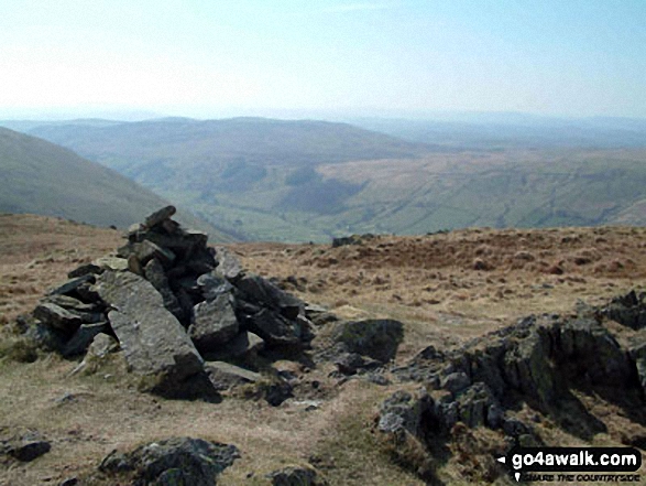
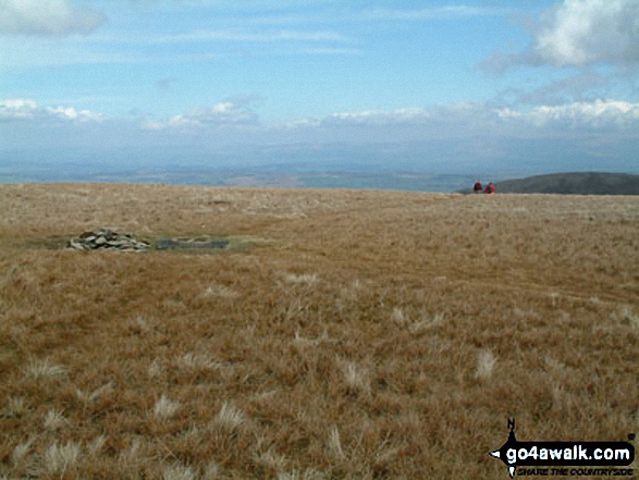
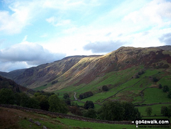
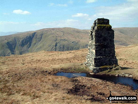
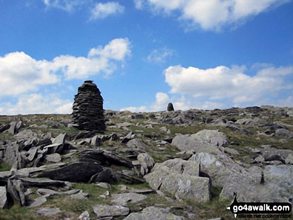
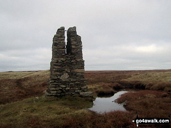
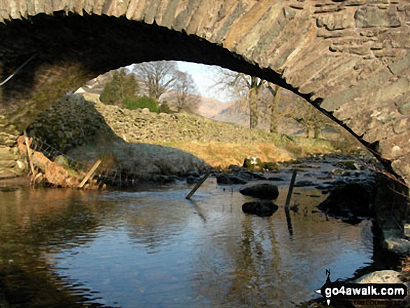
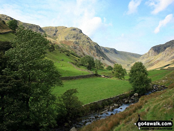
Some Photos and Pictures from Walk c204 The Longsleddale Horizon from Stockdale
In no particular order . . .

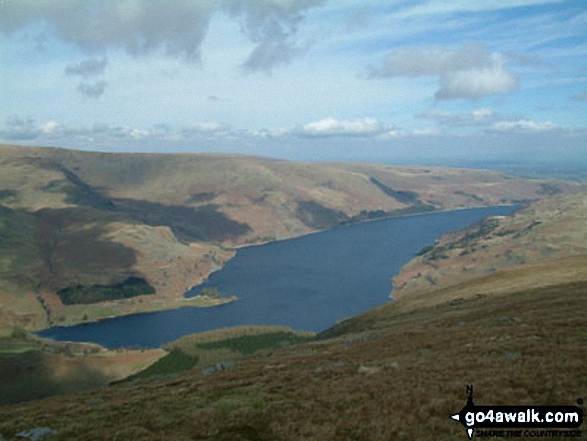


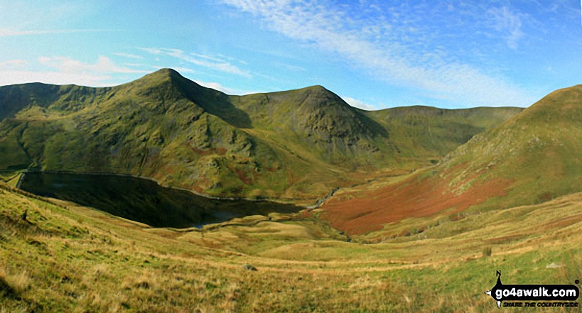
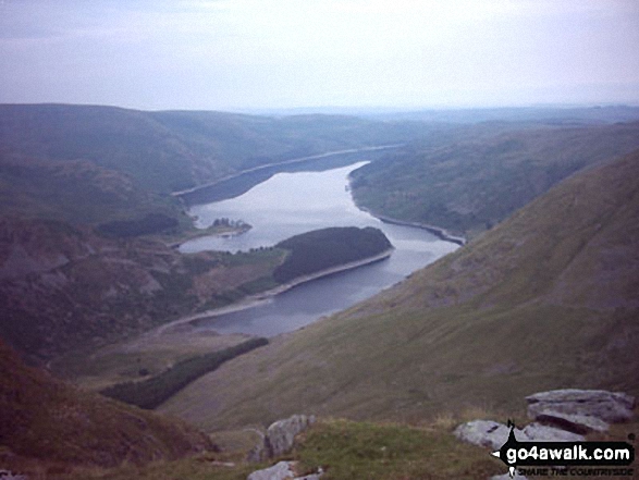
Yoke, Ill Bell, Froswick and the shoulder of Lingmell End (Mardale Ill Bell) above Kentmere Reservoir from Harter Fell (Mardale)


. . . load all 61 walk photos from Walk c204 The Longsleddale Horizon from Stockdale
Send us your photographs and pictures from your walks and hikes
We would love to see your photographs and pictures from walk c204 The Longsleddale Horizon from Stockdale. Send them in to us as email attachments (configured for any computer) along with your name and where the picture was taken to:
and we shall do our best to publish them.
(Guide Resolution = 300dpi. At least = 660 pixels (wide) x 440 pixels (high).)

You can also submit photos from walk c204 The Longsleddale Horizon from Stockdale via our Facebook Page.
NB. Please indicate where each photo was taken.


