   |
Vital Statistics:
| Length: | 9mls (14.5km) |
| Ascent: | 2,619ft (798m) |
| Time: | 6hrs |
| Grade: |  |
Route outline for walk c249:
Patterdale - Side Farm - Boredale Hause - Angletarn Pikes - Angle Tarn (Martindale) - Satura Crag - Brock Crags - Satura Crag - The Knott - Hayeswater Reservoir - Hayeswater Gill - Hartsop - Dubhow - Beckstones - Crookabeck - Rooking - Side Farm - Patterdale
Peaks, Summits and Tops reached on this walk:
 0 English Mountains |
 3 Wainwrights |
 0 English Nuttalls |
 1 English Dewey |
 0 Wainwright Outlying Fells |
 0 Marilyns |
 0 Bridgets |
Peak Bagging Statistics for this walk:
The highest point of this walk is The Knott at 739m (2425ft). The Knott is classified as an Wainwright (No. 66).
Completing this walk will also take you to the top of Angletarn Pikes at 567m (1861ft). Angletarn Pikes is classified as an Wainwright (No. 143).
Angletarn Pikes is also known as an English Dewey (45th highest in England, 99th in England & Wales)
You will also reach the summit of Brock Crags at 561m (1841ft). Brock Crags is classified as an Wainwright (No. 144).
You can find this walk and other nearby walks on these unique free-to-access Interactive Walk Planning Maps:
1:25,000 scale OS Explorer Map (orange/yellow covers):
1:50,000 scale OS Landranger Map (pink/magenta covers):
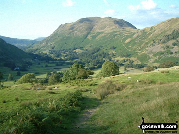
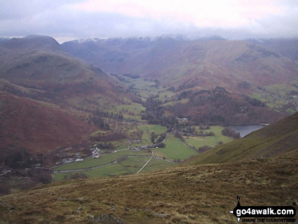
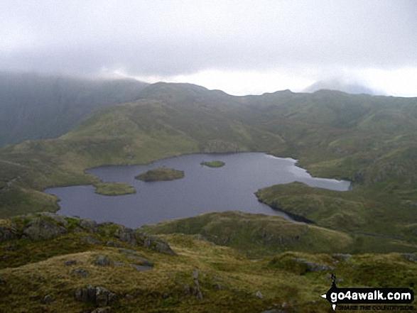
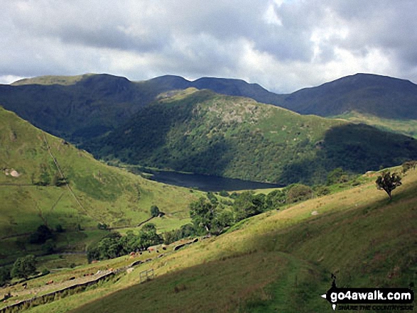
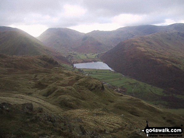
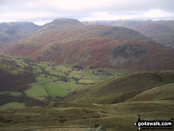
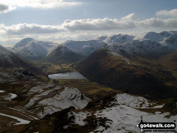
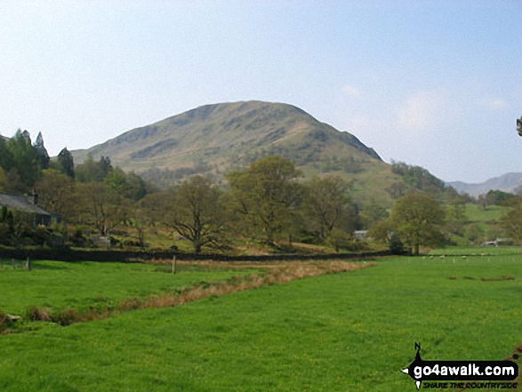
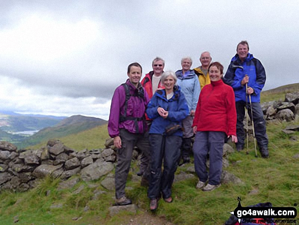
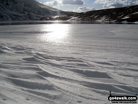
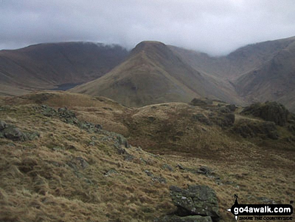
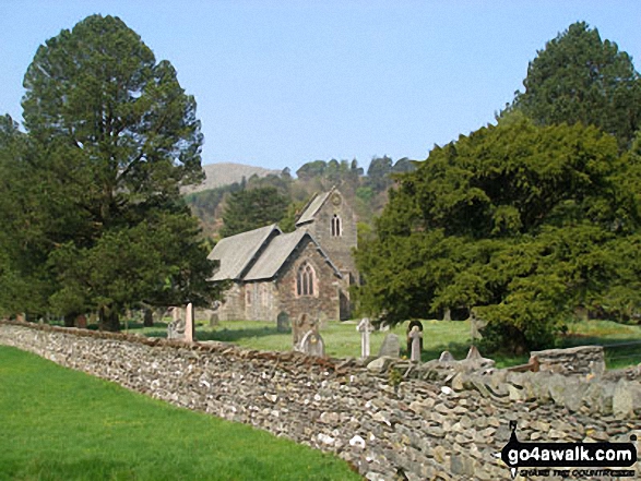
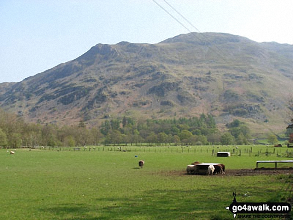
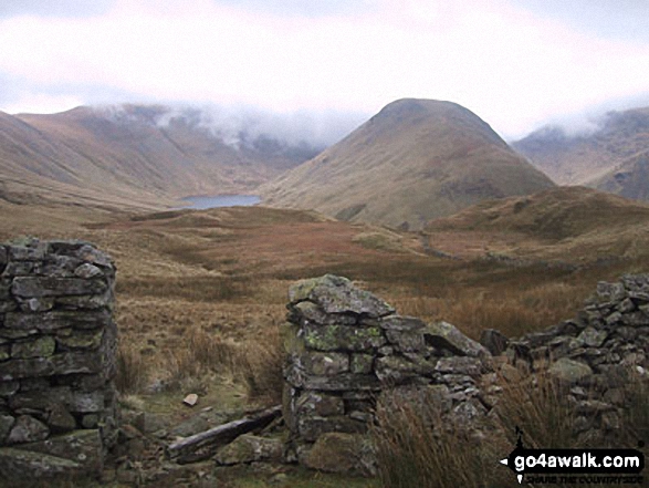
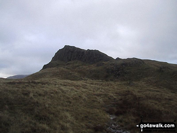
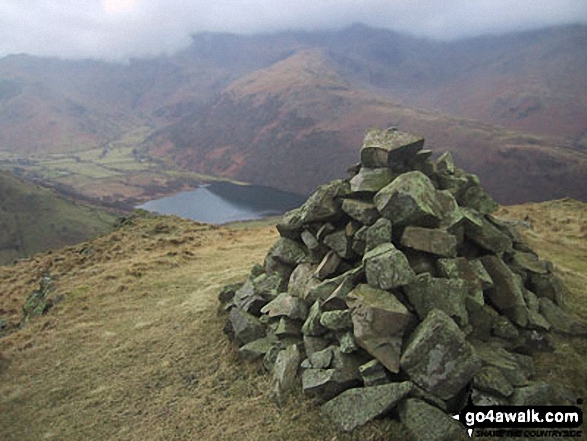
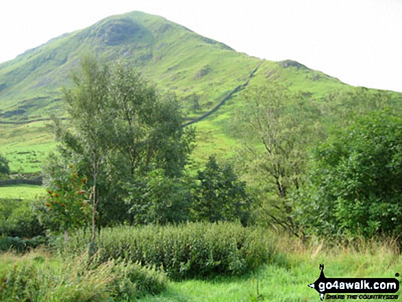
Some Photos and Pictures from Walk c249 The Knott and Angletarn Pikes from Patterdale
In no particular order . . .
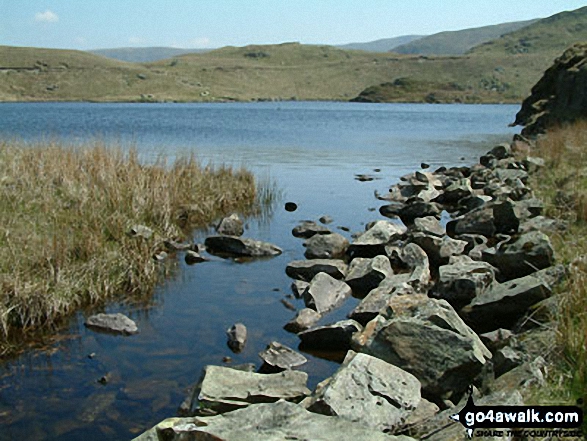
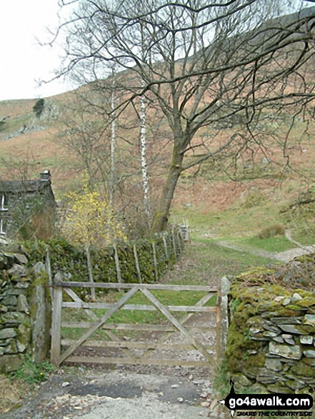
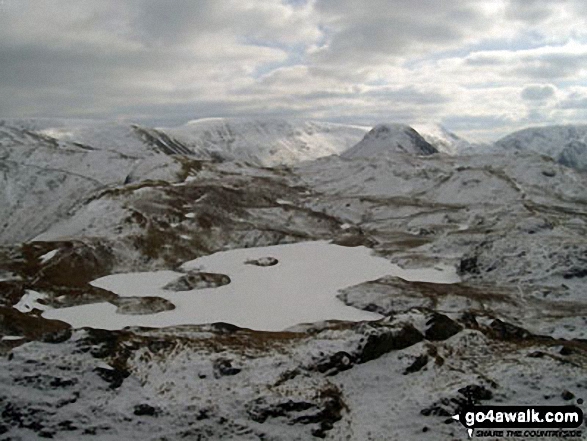
. . . load all 38 walk photos from Walk c249 The Knott and Angletarn Pikes from Patterdale
Send us your photographs and pictures from your walks and hikes
We would love to see your photographs and pictures from walk c249 The Knott and Angletarn Pikes from Patterdale. Send them in to us as email attachments (configured for any computer) along with your name and where the picture was taken to:
and we shall do our best to publish them.
(Guide Resolution = 300dpi. At least = 660 pixels (wide) x 440 pixels (high).)

You can also submit photos from walk c249 The Knott and Angletarn Pikes from Patterdale via our Facebook Page.
NB. Please indicate where each photo was taken.


