The Lake District National Park - a fully detailed list of all the Mountains, Peaks, Tops and Hills (Page 4 of 9)
The Lake District National Park is located in North West England, wholly within the county of Cumbria.
If you include just the Wainwrights, the Mountains (Hewitts) and the Nuttalls there are 268 tops to climb, bag & conquer and the highest point is Scafell Pike at 978m (3,210ft).
To see these Mountains, Peaks, Tops and Hills displayed in different ways - see the options in the left-hand column and towards the bottom of this page.
![]() Your Personal Bagging Record for The Lake District National Park
Your Personal Bagging Record for The Lake District National Park
LOG ON and RELOAD this page to show which Mountains, Peaks, Tops and Hills you have already climbed, bagged & conquered [. . . more details]
See this list in: Alphabetical Order
| Height Order‡
To reverse the order select the link again.
Mountain, Peak, Top or Hill:
Bagged

![]()
91. Harrison Stickle
736m (2,415ft)
Harrison Stickle is on interactive maps:
Harrison Stickle is on downloadable PDF you can Print or Save to your Phone: *Version including the walk routes marked on it that you need to follow to Walk all 214 Wainwrights in just 59 walks. |

![]()
92. Combe Head
735m (2,412ft)
Combe Head is on interactive maps:
Combe Head is on downloadable PDF you can Print or Save to your Phone: *Version including the walk routes marked on it that you need to follow to Walk all 214 Wainwrights in just 59 walks. |
![]()
93. Long Side
734m (2,409ft)
Long Side is on interactive maps:
Long Side is on downloadable PDF you can Print or Save to your Phone: *Version including the walk routes marked on it that you need to follow to Walk all 214 Wainwrights in just 59 walks. |

![]()
94. Little Gowder Crag
733m (2,406ft)
Little Gowder Crag is on interactive maps:
Little Gowder Crag is on downloadable PDF you can Print or Save to your Phone: *Version including the walk routes marked on it that you need to follow to Walk all 214 Wainwrights in just 59 walks. |
![]()
95. Codale Head
732m (2,402ft)
Codale Head is on interactive maps:
Codale Head is on downloadable PDF you can Print or Save to your Phone: *Version including the walk routes marked on it that you need to follow to Walk all 214 Wainwrights in just 59 walks. |
![]()
96. Kentmere Pike
730m (2,396ft)
Kentmere Pike is on interactive maps:
Kentmere Pike is on downloadable PDF you can Print or Save to your Phone: *Version including the walk routes marked on it that you need to follow to Walk all 214 Wainwrights in just 59 walks. |
![]()
97. Hindscarth
727m (2,386ft)
Hindscarth is on interactive maps:
Hindscarth is on downloadable PDF you can Print or Save to your Phone: *Version including the walk routes marked on it that you need to follow to Walk all 214 Wainwrights in just 59 walks. |
![]()
98. Clough Head
726m (2,383ft)
Clough Head is on interactive maps:
Clough Head is on downloadable PDF you can Print or Save to your Phone: *Version including the walk routes marked on it that you need to follow to Walk all 214 Wainwrights in just 59 walks. |

![]()
99. Thunacar Knott
723m (2,373ft)
Thunacar Knott is on interactive maps:
Thunacar Knott is on downloadable PDF you can Print or Save to your Phone: *Version including the walk routes marked on it that you need to follow to Walk all 214 Wainwrights in just 59 walks. |
![]()
100. Ullscarf
723m (2,372ft)
Ullscarf is on interactive maps:
Ullscarf is on downloadable PDF you can Print or Save to your Phone: *Version including the walk routes marked on it that you need to follow to Walk all 214 Wainwrights in just 59 walks. |
![]()
101. Red Beck Top
721m (2,366ft)
Red Beck Top is on interactive maps:
Red Beck Top is on downloadable PDF you can Print or Save to your Phone: *Version including the walk routes marked on it that you need to follow to Walk all 214 Wainwrights in just 59 walks. |
![]()
102. Froswick
720m (2,363ft)
Froswick is on interactive maps:
Froswick is on downloadable PDF you can Print or Save to your Phone: *Version including the walk routes marked on it that you need to follow to Walk all 214 Wainwrights in just 59 walks. |
![]()
103. Whiteside (Crummock)
719m (2,360ft)
Whiteside (Crummock) is on interactive maps:
Whiteside (Crummock) is on downloadable PDF you can Print or Save to your Phone: *Version including the walk routes marked on it that you need to follow to Walk all 214 Wainwrights in just 59 walks. |
![]()
104. Birkhouse Moor
718m (2,356ft)
Birkhouse Moor is on interactive maps:
Birkhouse Moor is on downloadable PDF you can Print or Save to your Phone: *Version including the walk routes marked on it that you need to follow to Walk all 214 Wainwrights in just 59 walks. |
![]()
105. Brandreth
715m (2,346ft)
Brandreth is on interactive maps:
Brandreth is on downloadable PDF you can Print or Save to your Phone: *Version including the walk routes marked on it that you need to follow to Walk all 214 Wainwrights in just 59 walks. |
![]()
106. Lonscale Fell
715m (2,346ft)
Lonscale Fell is on interactive maps:
Lonscale Fell is on downloadable PDF you can Print or Save to your Phone: *Version including the walk routes marked on it that you need to follow to Walk all 214 Wainwrights in just 59 walks. |
![]()
107. Branstree (Artlecrag Pike)
713m (2,340ft)
Branstree (Artlecrag Pike) is on interactive maps:
Branstree (Artlecrag Pike) is on downloadable PDF you can Print or Save to your Phone: *Version including the walk routes marked on it that you need to follow to Walk all 214 Wainwrights in just 59 walks. |
![]()
108. Knott (Uldale Fells)
710m (2,330ft)
Knott (Uldale Fells) is on interactive maps:
Knott (Uldale Fells) is on downloadable PDF you can Print or Save to your Phone: *Version including the walk routes marked on it that you need to follow to Walk all 214 Wainwrights in just 59 walks. |
![]()
109. Pike of Stickle (Pike o' Stickle)
708m (2,324ft)
Pike of Stickle (Pike o' Stickle) is on interactive maps:
Pike of Stickle (Pike o' Stickle) is on downloadable PDF you can Print or Save to your Phone: *Version including the walk routes marked on it that you need to follow to Walk all 214 Wainwrights in just 59 walks. |
![]()
110. Whiteside (Crummock) (West Top)
707m (2,320ft)
Whiteside (Crummock) (West Top) is on interactive maps:
Whiteside (Crummock) (West Top) is on downloadable PDF you can Print or Save to your Phone: *Version including the walk routes marked on it that you need to follow to Walk all 214 Wainwrights in just 59 walks. |
![]()
111. Yoke
706m (2,317ft)
Yoke is on interactive maps:
Yoke is on downloadable PDF you can Print or Save to your Phone: *Version including the walk routes marked on it that you need to follow to Walk all 214 Wainwrights in just 59 walks. |
![]()
112. Pike of Blisco (Pike o' Blisco)
705m (2,314ft)
Pike of Blisco (Pike o' Blisco) is on interactive maps:
Pike of Blisco (Pike o' Blisco) is on downloadable PDF you can Print or Save to your Phone: *Version including the walk routes marked on it that you need to follow to Walk all 214 Wainwrights in just 59 walks. |
![]()
113. Ladyside Pike
703m (2,307ft)
Ladyside Pike is on interactive maps:
Ladyside Pike is on downloadable PDF you can Print or Save to your Phone: *Version including the walk routes marked on it that you need to follow to Walk all 214 Wainwrights in just 59 walks. |
![]()
114. Middleboot Knotts
703m (2,307ft)
Middleboot Knotts is on interactive maps:
Middleboot Knotts is on downloadable PDF you can Print or Save to your Phone: *Version including the walk routes marked on it that you need to follow to Walk all 214 Wainwrights in just 59 walks. |
![]()
115. Bowscale Fell
702m (2,304ft)
Bowscale Fell is on interactive maps:
Bowscale Fell is on downloadable PDF you can Print or Save to your Phone: *Version including the walk routes marked on it that you need to follow to Walk all 214 Wainwrights in just 59 walks. |
![]()
116. Cold Pike
700m (2,297ft)
Cold Pike is on interactive maps:
Cold Pike is on downloadable PDF you can Print or Save to your Phone: *Version including the walk routes marked on it that you need to follow to Walk all 214 Wainwrights in just 59 walks. |
![]()
117. Pavey Ark
700m (2,297ft)
Pavey Ark is on interactive maps:
Pavey Ark is on downloadable PDF you can Print or Save to your Phone: *Version including the walk routes marked on it that you need to follow to Walk all 214 Wainwrights in just 59 walks. |

![]()
118. Gray Crag (Hayeswater)
699m (2,294ft)
Gray Crag (Hayeswater) is on interactive maps:
Gray Crag (Hayeswater) is on downloadable PDF you can Print or Save to your Phone: *Version including the walk routes marked on it that you need to follow to Walk all 214 Wainwrights in just 59 walks. |
![]()
119. Caw Fell
697m (2,288ft)
Caw Fell is on interactive maps:
Caw Fell is on downloadable PDF you can Print or Save to your Phone: *Version including the walk routes marked on it that you need to follow to Walk all 214 Wainwrights in just 59 walks. |
![]()
120. Grey Knotts
697m (2,287ft)
Grey Knotts is on interactive maps:
Grey Knotts is on downloadable PDF you can Print or Save to your Phone: *Version including the walk routes marked on it that you need to follow to Walk all 214 Wainwrights in just 59 walks. |
View these 268 Mountains, Peaks, Tops and Hills:
- On Seven Downloadable PDFs you can print or save to your phone covering:
- The Central Fells #
- The Eastern Fells #
- The Far Eastern Fells #
- The Northern Fells #
- The North Western Fells #
- The Southern Fells #
- The Western Fells #
- On Seven Special Wainwright Baggers' versions of the above Downloadable PDFs you can print or save to your phone detailing the routes that Bag All 214 Wainwrights in just 59 walks:
- The Wainwrights in the Central Fells Area #
- The Wainwrights in the The Eastern Fells Area #
- The Wainwrights in the The Far Eastern Fells Area #
- The Wainwrights in the The Northern Fells Area #
- The Wainwrights in the The North Western Fells Area #
- The Wainwrights in the The Southern Fells Area #
- The Wainwrights in the The Western Fells Area #
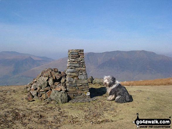
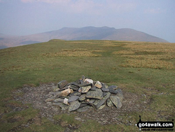
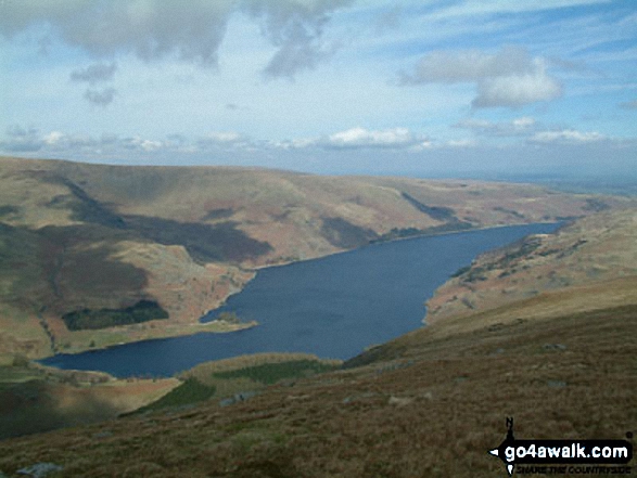
 The view from Scafell Pike in The Lake District
Photo: David Cochrane
- On an Interactive Google Map (loads faster)
- On an Interactive Google Map with a list of tops below it.
(makes it easier to locate a particular top) - On a Detailed List in:
Alphabetical Order | Height Order - On one page with 'yet-to-be-bagged' listed 1st & then 'already-bagged' tops listed 2nd in:
Alphabetical Order | Height Order - On one page with 'already-bagged' tops listed 1st & then 'yet-to-be-bagged' tops listed 2nd in:
Alphabetical Order | Height Order
# Whether you print copies or download them to your phone, these Peak Baggers' Maps will prove incredibly useful if you want to know what's what when you are up in the mountains and cannot get a phone signal.
Is there a Mountain, Peak, Top or Hill missing from the above google map or list?
Let us know an we will add it to our database.

To contribute to go4awalk.com or to contact us about anything at all - see Talk To Us.
For help see Help.
go4awalk.com and go4awalk.co.uk are registered trademarks of TMDH Limited.
Copyright © 2000-2025 TMDH Limited. All rights reserved.
Copyright Terms & Conditions Privacy Statement
A - Z Walks Home Log On/Accounts Photo Gallery Walk Ideas and Collections Fell Facts Hill Skills Walking Questions and Answers Your Stories News Competitions Product Reviews/Gear Tests Walking Gear Guides Peaks and Mountains Peak Bagging Find New Walking Friends Camping GPS Waypoints for Walking Contents Walk Search Talk To Us go4awalk.com Help Free Example Walks Newsletter


