   |
Vital Statistics:
| Length: | 6½mls (10.5km) |
| Ascent: | 2,573ft (784m) |
| Time: | 5hrs |
| Grade: |  |
Route outline for walk c169:
Revelin Moss - Whinlatter Forest Park - Hobcarton End - Grisedale Pike - Hobcarton Crag - Hopegill Head - Ladyside Pike - Swinside Plantation - Whinlatter Pass - Hobcarton Plantation - Revelin Moss
Peaks, Summits and Tops reached on this walk:
 3 English Mountains |
 2 Wainwrights |
 4 English Nuttalls |
 0 English Deweys |
 0 Wainwright Outlying Fells |
 1 Marilyn |
 1 Bridget |
Peak Bagging Statistics for this walk:
The highest point of this walk is Grisedale Pike at 791m (2596ft). Grisedale Pike is classified as an English Mountain (Hewitt) (48th highest in England, 87th highest in England & Wales) and a Wainwright (No. 40).
Grisedale Pike is also known as an English Nuttall (57th highest in England, 106th highest in England & Wales) and an English Marilyn (16th highest in England, 410th highest in the UK).
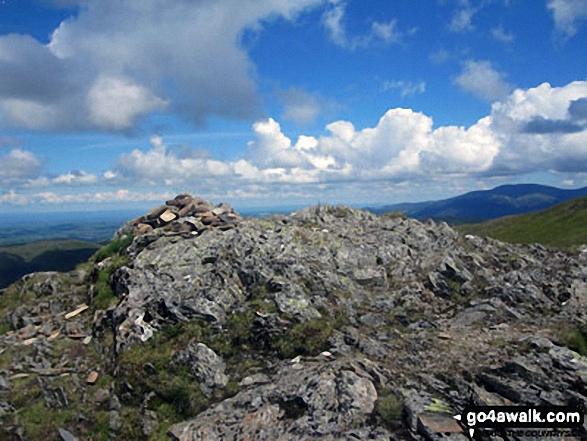
The summit of Grisedale Pike is marked by an Ordnance Survey Trig Point.
Completing this walk will also take you to the top of Hopegill Head at 770m (2525ft). Hopegill Head is classified as an English Mountain (Hewitt) (60th highest in England, 104th highest in England & Wales) and a Wainwright (No. 52).
Hopegill Head is also known as an English Nuttall (74th highest in England, 128th highest in England & Wales).
You will also reach the summit of Hobcarton Crag at 739m (2425ft). Hobcarton Crag is classified as an English Mountain (Hewitt) (73rd highest in England, 128th highest in England & Wales)
Hobcarton Crag is also known as an English Nuttall (92nd highest in England, 159th highest in England & Wales).
Along the way you will also bag:
- Ladyside Pike at 703m (2307ft). Ladyside Pike is known as an English Nuttall (128th highest in England, 213th highest in England & Wales).
- Hobcarton End at 634m (2081ft). Hobcarton End is known as an English Bridget. The summit of Hobcarton End is marked by a cairn.
You can find this walk and other nearby walks on these unique free-to-access Interactive Walk Planning Maps:
1:25,000 scale OS Explorer Map (orange/yellow covers):
1:50,000 scale OS Landranger Maps (pink/magenta covers):
Some Photos and Pictures from Walk c169 Grisedale Pike and Hopegill Head from Whinlatter Forest
In no particular order . . .
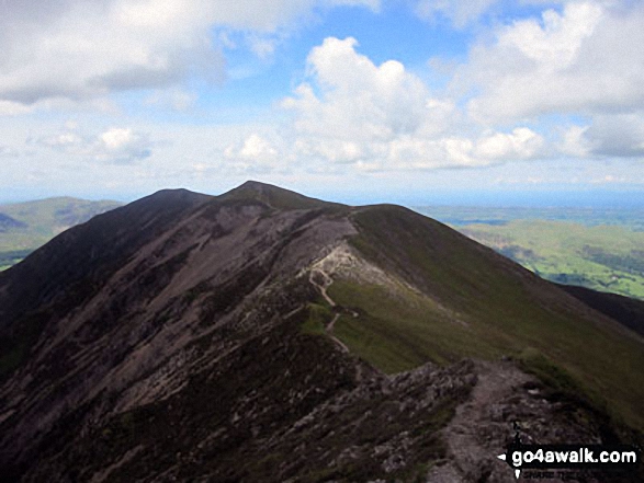
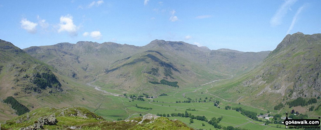
*Kettle Crag (left), Oxendale, The Band (centre - with Crinkle Crags (Crinkle Crags (South Top), Crinkle Crags (Long Top), & Gunson Knott) (top left) and Bow Fell (Bowfell) (top right), Mickleden and The Langdale Pikes from Side Pike
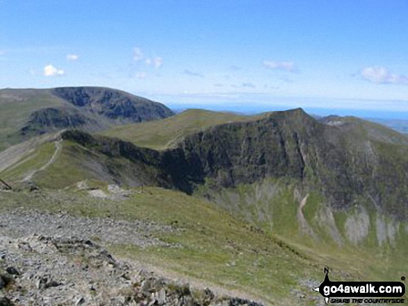
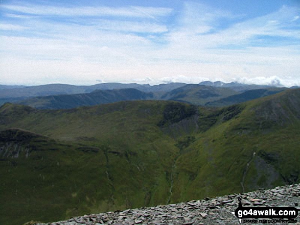
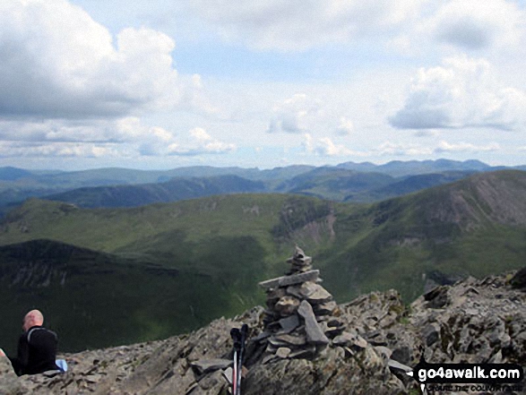
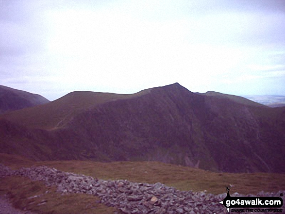
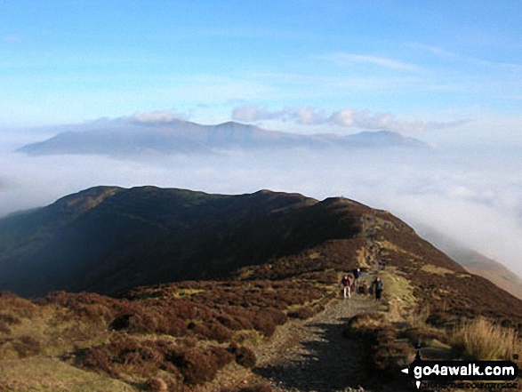
Outerside (foreground in shadow), Causey Pike, Coledale Hause and Crag Hill (Eel Crag) in the mid-distance with The Newlands Fells beyond from the summit cairn on Grisedale Pike

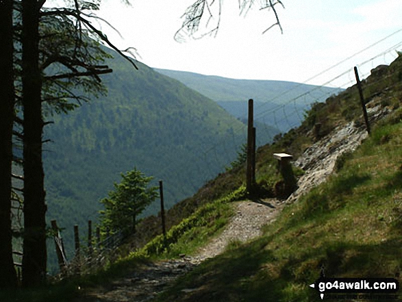
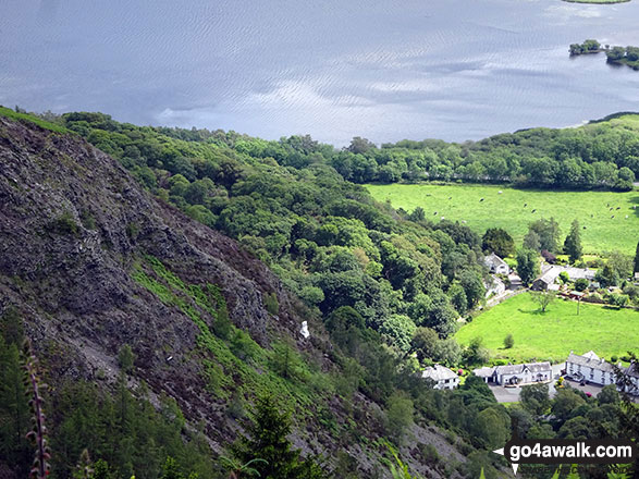
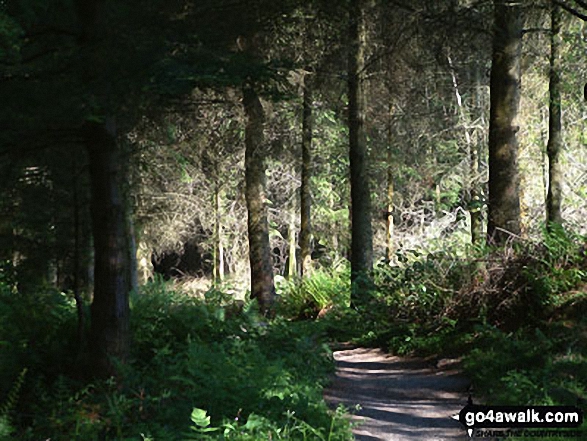
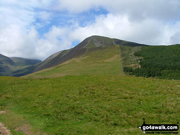
Leaving Whinlatter Forest on route to Whinlatter (Whinlatter Top) and Whinlatter (Brown How)
. . . load all 42 walk photos from Walk c169 Grisedale Pike and Hopegill Head from Whinlatter Forest
Send us your photographs and pictures from your walks and hikes
We would love to see your photographs and pictures from walk c169 Grisedale Pike and Hopegill Head from Whinlatter Forest. Send them in to us as email attachments (configured for any computer) along with your name and where the picture was taken to:
and we shall do our best to publish them.
(Guide Resolution = 300dpi. At least = 660 pixels (wide) x 440 pixels (high).)

You can also submit photos from walk c169 Grisedale Pike and Hopegill Head from Whinlatter Forest via our Facebook Page.
NB. Please indicate where each photo was taken.


