   |
Vital Statistics:
| Length: | 10mls (16km) |
| Ascent: | 3,580ft (1,091m) |
| Time: | 7¼hrs |
| Grade: |  |
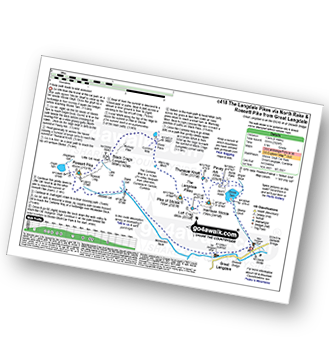
Route outline for walk c418:
Great Langdale - The New Dungeon Ghyll - Stickle Ghyll - Stickle Tarn - North Rake - The Langdale Pikes - Pavey Ark - Thunacar Knott - Harrison Stickle - Loft Crag - Pike of Stickle (Pike o' Stickle) - Martcrag Moor - Stake Pass - Black Crags (Langdale) - Little Gill Head - Rossett Pike - Rossett Gill - The Cumbria Way - Mickleden - Mickleden Beck - The New Dungeon Ghyll - Great Langdale
Peaks, Summits and Tops reached on this walk:
 3 English Mountains |
 6 Wainwrights |
 6 English Nuttalls |
 1 English Dewey |
 0 Wainwright Outlying Fells |
 0 Marilyns |
 0 Bridgets |
Peak Bagging Statistics for this walk:
Completing this walk will also take you to the top of Harrison Stickle at 736m (2415ft). Harrison Stickle is classified as an English Mountain (Hewitt) (77th highest in England, 132nd highest in England & Wales) and a Wainwright (No. 70).
Harrison Stickle is also known as an English Nuttall (96th highest in England, 163rd highest in England & Wales).
You will also reach the summit of Thunacar Knott at 723m (2373ft). Thunacar Knott is classified as an Wainwright (No. 76).
Thunacar Knott is also known as an English Nuttall (105th highest in England, 179th highest in England & Wales).
Along the way you will also bag:
- Pike of Stickle (Pike o' Stickle) at 708m (2324ft). Pike of Stickle (Pike o' Stickle) is classified as an English Mountain (Hewitt) (97th highest in England, 163rd highest in England & Wales), a Wainwright (No. 84) and an English Nuttall (121st highest in England, 205th highest in England & Wales).
- Pavey Ark at 700m (2297ft). Pavey Ark is classified as a Wainwright (No. 89) and an English Nuttall (134th highest in England, 221st highest in England & Wales)
- Loft Crag at 681m (2235ft). Loft Crag is classified as a Wainwright (No. 98) and an English Nuttall (151st highest in England, 255th highest in England & Wales)
- Rossett Pike at 651m (2136ft). Rossett Pike is classified as an English Mountain (Hewitt) (143rd highest in England, 246th highest in England & Wales), a Wainwright (No. 115) and an English Nuttall (191st highest in England, 329th highest in England & Wales).
- Black Crags (Langdale) at 588m (1929ft). Black Crags (Langdale) is classified as an English Dewey (20th highest in England, 52nd highest in England & Wales).
National Trails & Long Paths included on this walk:
Part of this walk follows a section of The Cumbria Way, a 112km (70 miles) linear footpath connecting Ulverston in Cumbria, England with Carlisle in Cumbria, England. The Cumbria Way is waymarked by named posts. For more walks that include a section of this trail see The Cumbria Way.
You can find this walk and other nearby walks on these unique free-to-access Interactive Walk Planning Maps:
1:25,000 scale OS Explorer Map (orange/yellow covers):
1:50,000 scale OS Landranger Maps (pink/magenta covers):
Some Photos and Pictures from Walk c418 The Langdale Pikes via North Rake and Rossett Pike from Great Langdale
In no particular order . . .
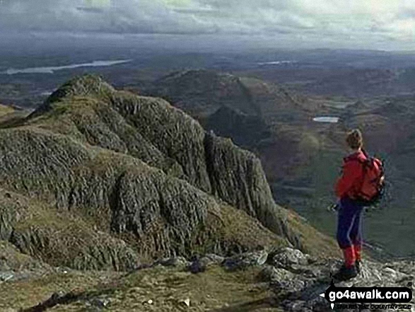
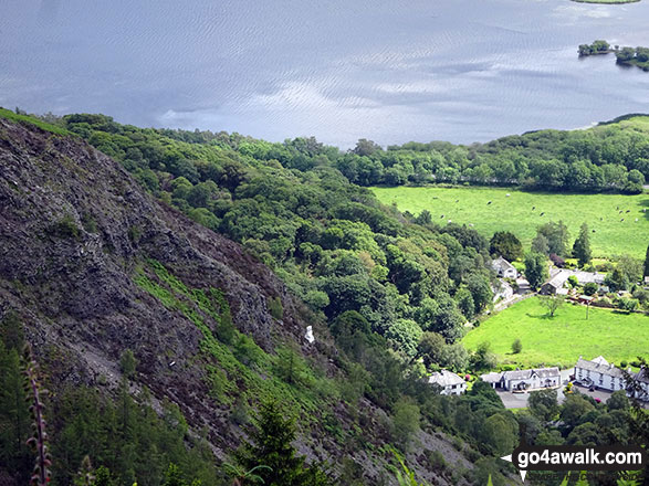
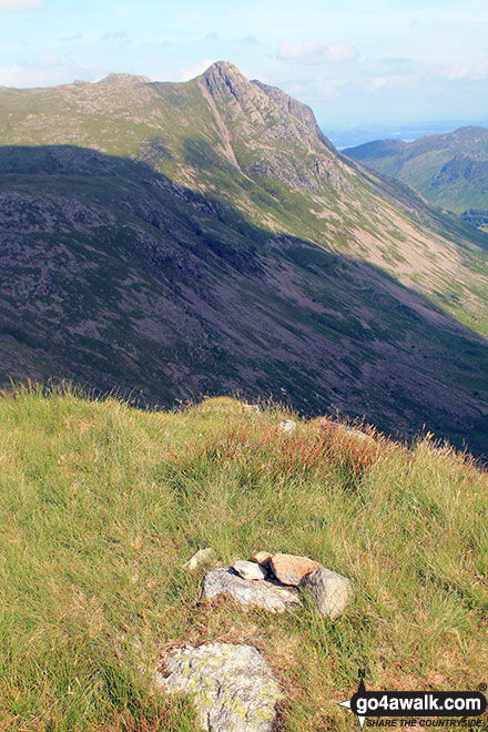
Me on the summit of Pike of Stickle, The Langdale Pikes with Windermere (far left), Loft Crag (near left), Lingmoor Fell (across Great Langdale) and Blea Tarn (right)
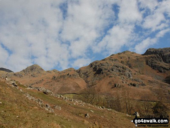
Climbing up Stickle Ghyll towards Harrison Stickle (The Langdale Pikes) (left) from Great Langdale
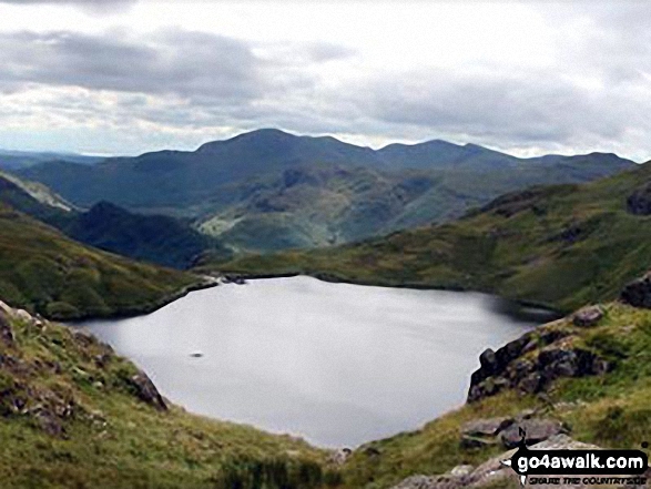
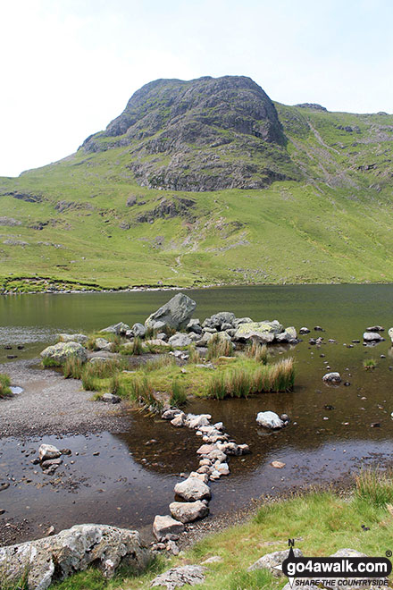
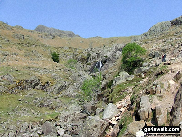
Stickle Tarn from the slopes of Pavey Ark with Pike of Blisco (Pike o' Blisco) and The Coniston Fells in the distance
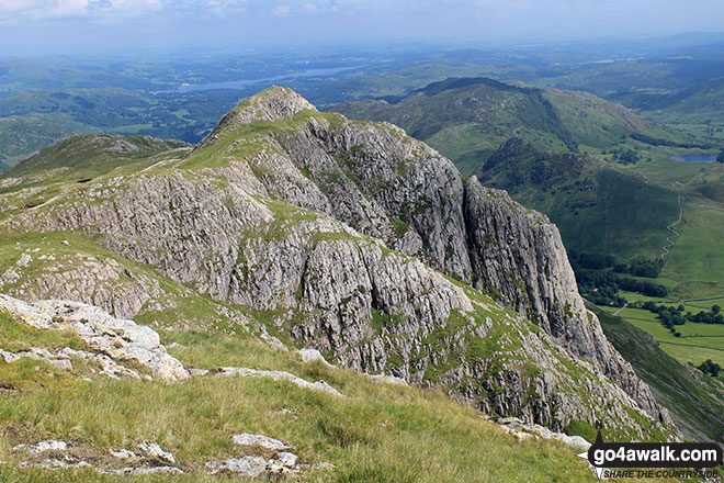
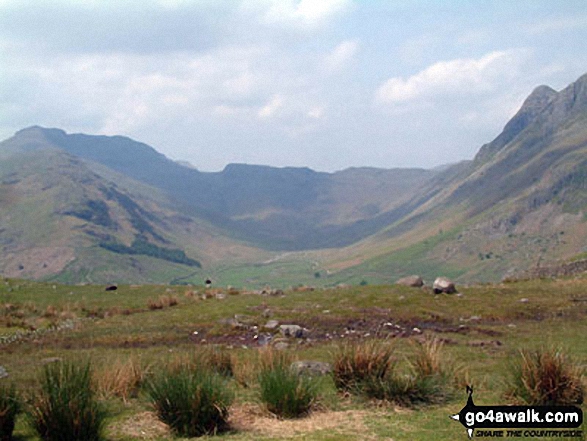
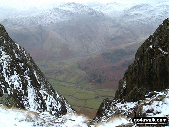
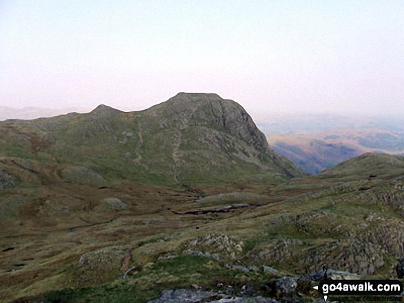
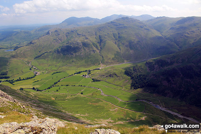
The Band (left), Bow Fell (Bowfell), Esk Pike (centre) and Pike of Stickle (far right) surround Mickleden from Great Langdale
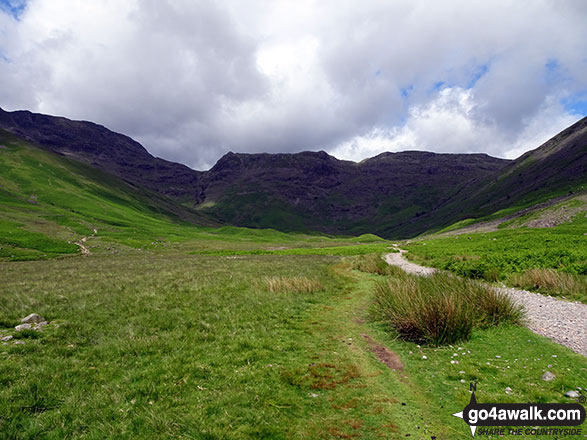
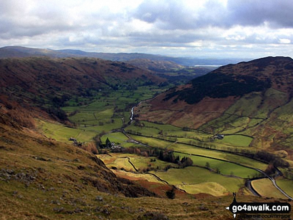
Looking up Mickleden towards Rossett Pike, Buck Pike (Langdale) and Black Crags (Langdale) from Great Langdale
Send us your photographs and pictures from your walks and hikes
We would love to see your photographs and pictures from walk c418 The Langdale Pikes via North Rake and Rossett Pike from Great Langdale. Send them in to us as email attachments (configured for any computer) along with your name and where the picture was taken to:
and we shall do our best to publish them.
(Guide Resolution = 300dpi. At least = 660 pixels (wide) x 440 pixels (high).)

You can also submit photos from walk c418 The Langdale Pikes via North Rake and Rossett Pike from Great Langdale via our Facebook Page.
NB. Please indicate where each photo was taken.


