   |
Vital Statistics:
| Length: | 11¼mls (18km) |
| Ascent: | 2,680ft (817m) |
| Time: | 6¾hrs |
| Grade: |  |
Route outline for walk c239:
Red Moss Nr Dockray - Barbary Rigg - Matterdale Common - Mariel Bridge - White Pike (Clough Head) - Clough Head - Calfhow Pike - Little Dodd (St John's Common) - Great Dodd - Watson's Dodd - Stybarrow Dodd - Green Side (White Stones) - Hart Side - Dowthwaitehead - Red Moss.
Peaks, Summits and Tops reached on this walk:
 3 English Mountains |
 5 Wainwrights |
 5 English Nuttalls |
 0 English Deweys |
 0 Wainwright Outlying Fells |
 0 Marilyns |
 1 Bridget |
Peak Bagging Statistics for this walk:
The highest point of this walk is Great Dodd at 857m (2813ft). Great Dodd is classified as an English Mountain (Hewitt) (22nd highest in England, 45th highest in England & Wales) and a Wainwright (No. 19).
Great Dodd is also known as an English Nuttall (26th highest in England, 52nd highest in England & Wales).
Completing this walk will also take you to the top of Stybarrow Dodd at 843m (2767ft). Stybarrow Dodd is classified as an English Mountain (Hewitt) (25th highest in England, 51st highest in England & Wales) and a Wainwright (No. 21).
Stybarrow Dodd is also known as an English Nuttall (31st highest in England, 59th highest in England & Wales).
You will also reach the summit of Green Side (White Stones) at 795m (2609ft). Green Side (White Stones) is also known as an English Nuttall (53rd highest in England, 100th highest in England & Wales).
Along the way you will also bag:
- Watson's Dodd at 789m (2589ft). Watson's Dodd is classified as a Wainwright (No. 41)
- Hart Side at 756m (2481ft). Hart Side is classified as a Wainwright (No. 61) and an English Nuttall (81st highest in England, 139th highest in England & Wales)
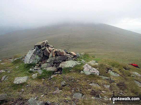
- Clough Head at 726m (2383ft). Clough Head is classified as an English Mountain (Hewitt) (82nd highest in England, 141st highest in England & Wales), a Wainwright (No. 75) and an English Nuttall (103rd highest in England, 175th highest in England & Wales). The summit of Clough Head is marked by an Ordnance Survey Trig Point.
- Calfhow Pike at 650m (2133ft). Calfhow Pike is known as an English Bridget.
You can find this walk and other nearby walks on these unique free-to-access Interactive Walk Planning Maps:
1:25,000 scale OS Explorer Map (orange/yellow covers):
1:50,000 scale OS Landranger Map (pink/magenta covers):
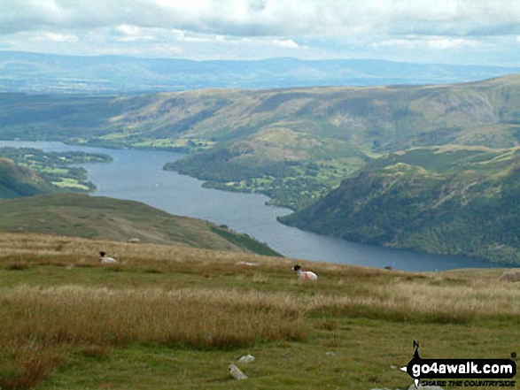
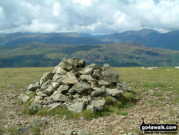
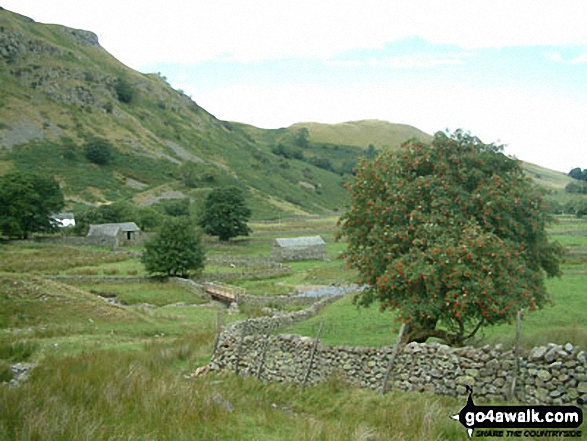
Some Photos and Pictures from Walk c239 The Deepdale Round from nr Dockray
In no particular order . . .
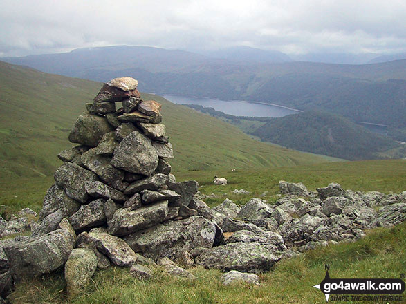
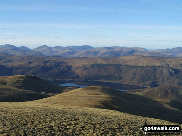
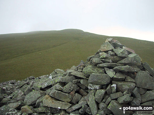
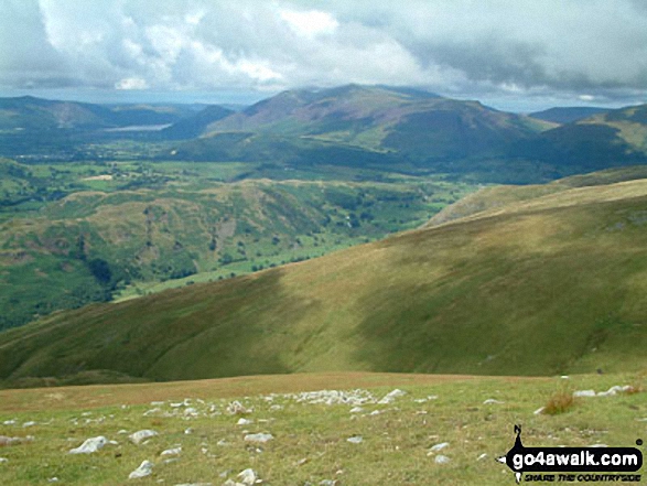
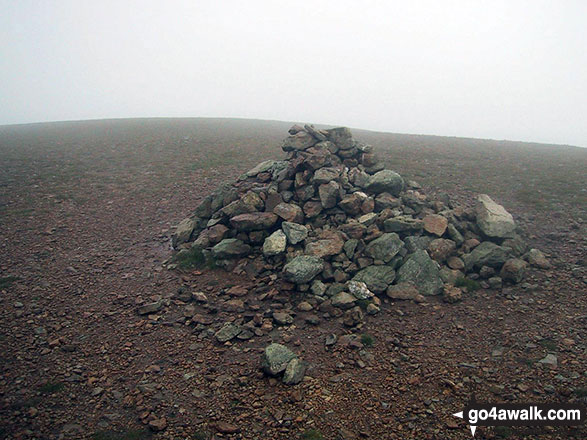
A cairn below Little Dodd (St John's Common) offering good views of Thirlmere in the valley below
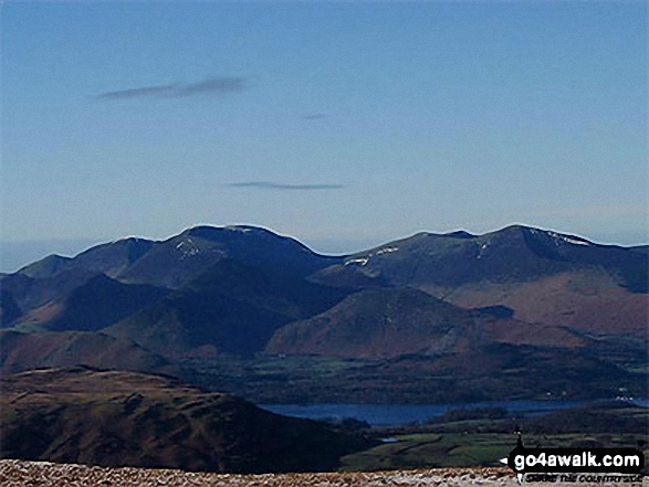
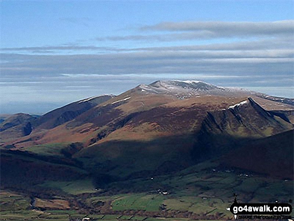
Whiteless Pike, Wandhope, Eel Crag, Hobcarton Pike and Grizedale Pike - with Causey Pike, Barrow (Newlands) and Derwent Water in the foreground from Clough Head
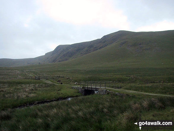
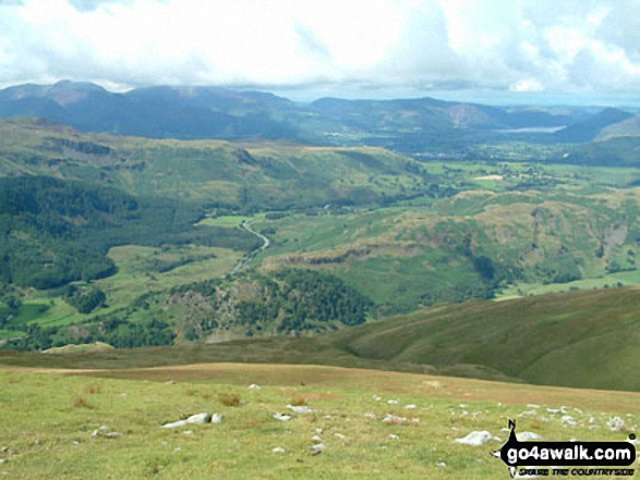
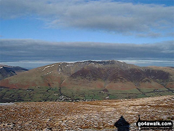
The Dodds from Mariel Bridge on The old Coach Road across Matterdale Common
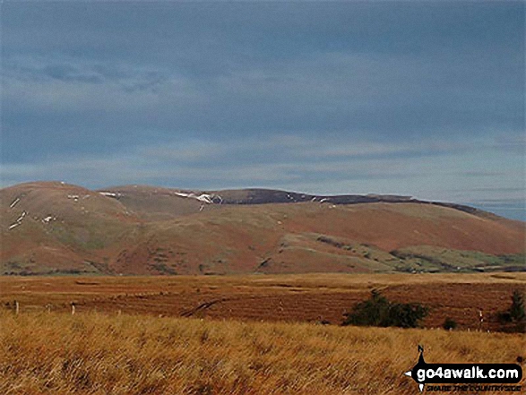
Bowscale Fell, Carrock Fell and Souther Fell from the old coach road nr Barbary Rigg
. . . load all 30 walk photos from Walk c239 The Deepdale Round from nr Dockray
Send us your photographs and pictures from your walks and hikes
We would love to see your photographs and pictures from walk c239 The Deepdale Round from nr Dockray. Send them in to us as email attachments (configured for any computer) along with your name and where the picture was taken to:
and we shall do our best to publish them.
(Guide Resolution = 300dpi. At least = 660 pixels (wide) x 440 pixels (high).)

You can also submit photos from walk c239 The Deepdale Round from nr Dockray via our Facebook Page.
NB. Please indicate where each photo was taken.


