Snowdonia National Park - a fully detailed list of all the Mountains, Peaks, Tops and Hills (Page 3 of 5)
Snowdonia National Park in Clwyd, Conwy, Gwynedd and Powys is the area of Wales within the Snowdonia National Park boundary including the non-National Park 'island' around Blaenau Ffestiniog.
If you include just the Mountains (Hewitts) and the Nuttalls there are 121 tops to climb, bag & conquer and the highest point is Snowdon (Yr Wyddfa) at 1,085m (3,561ft).
To see these Mountains, Peaks, Tops and Hills displayed in different ways - see the options in the left-hand column and towards the bottom of this page.
LOG ON and RELOAD this page to show which Mountains, Peaks, Tops and Hills you have already climbed, bagged & conquered [. . . more details]
Page 3 of 5 Go to page:
1 2 3 4 5 |
See this list in: Alphabetical Order‡
| Height Order
To reverse the order select the link again.
Mountain, Peak, Top or Hill:
Bagged
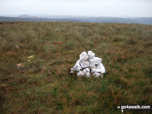
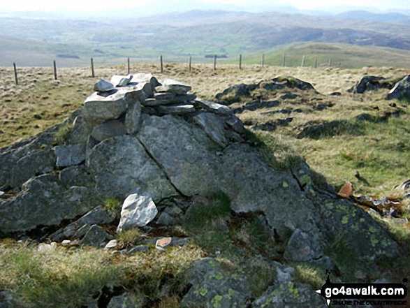
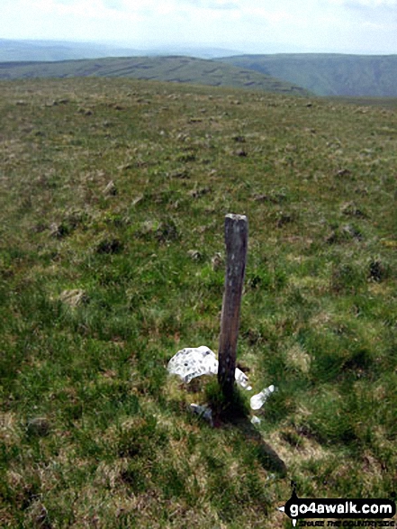
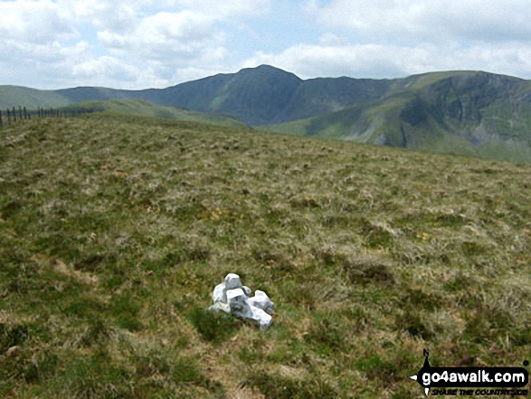
61. Gwaun Lydan
632m (2,074ft)
Nuttall (153rd in Wales, 366th in England & Wales)
To walk, climb & bag Gwaun Lydan use this easy-to-follow walk:
See the location of Gwaun Lydan and walks up it on a google MapGwaun Lydan is on interactive maps:
OS Explorer (Orange Covers): OL23
OS Landranger (Pink Covers): 124
Gwaun Lydan is on downloadable PDF you can Print or Save to your Phone:
|
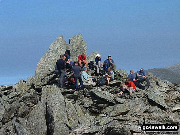
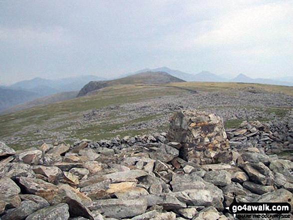
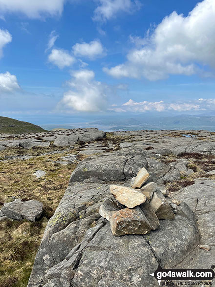
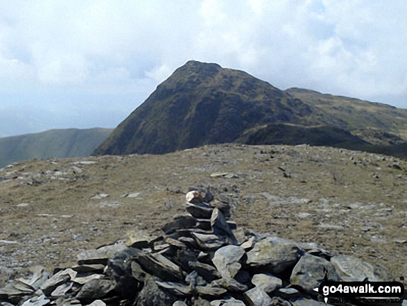
62. Glyder Fawr
999m (3,279ft)
Mountain (5th in Wales, 5th in England & Wales)
Nuttall (5th in Wales, 5th in England & Wales)
Marilyn (3rd in Wales, 111th in GB)
We hope to have walks that climb & bag Glyder Fawr very soon
See the location of Glyder Fawr and walks up it on a google MapGlyder Fawr is on interactive maps:
OS Explorer (Orange Covers): OL17
OS Landranger (Pink Covers): 115
Glyder Fawr is on downloadable PDF you can Print or Save to your Phone:
|
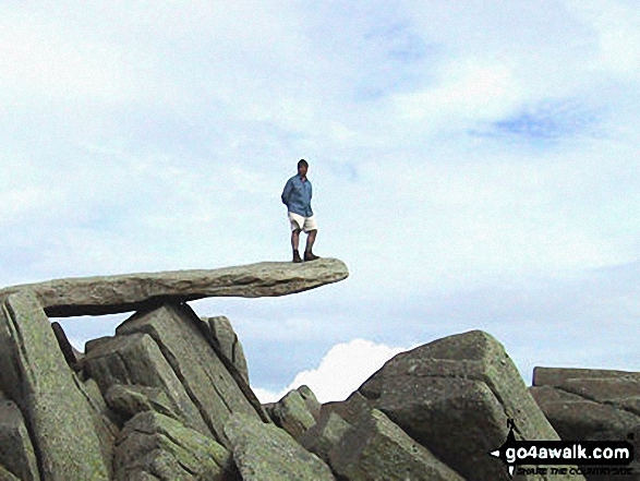
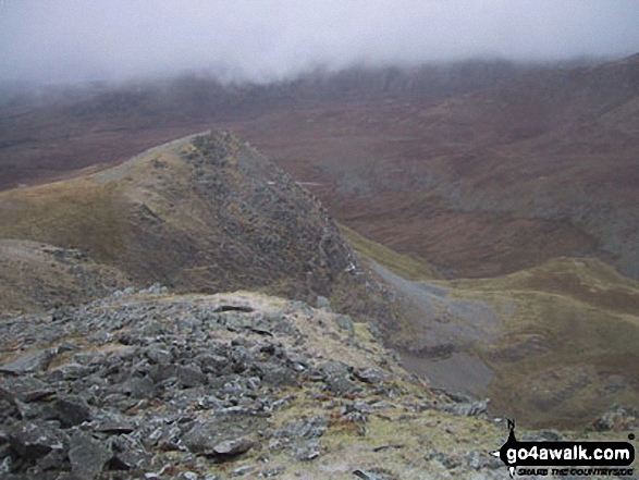
63. Glyder Fach
990m (3,249ft)
Mountain (6th in Wales, 6th in England & Wales)
Nuttall (6th in Wales, 6th in England & Wales)
To walk, climb & bag Glyder Fach use any of these easy-to-follow walks:
See the location of Glyder Fach and walks up it on a google MapGlyder Fach is on interactive maps:
OS Explorer (Orange Covers): OL17
OS Landranger (Pink Covers): 115
Glyder Fach is on downloadable PDF you can Print or Save to your Phone:
|
64. Gau Graig
683m (2,242ft)
Nuttall (103rd in Wales, 253rd in England & Wales)
Gau Graig was deleted from Mountain (Hewitt) status in May, 2015 after a survey found the 'prominence' to be only 25.4m
To walk, climb & bag Gau Graig use either of these easy-to-follow walks:
See the location of Gau Graig and walks up it on a google MapGau Graig is on interactive maps:
OS Explorer (Orange Covers): OL23
OS Landranger (Pink Covers): 124
Gau Graig is on downloadable PDF you can Print or Save to your Phone:
|
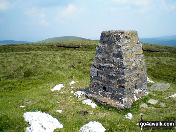
65. Garnedd-goch
700m (2,297ft)
Nuttall (87th in Wales, 220th in England & Wales)
OS Trig Point
To walk, climb & bag Garnedd-goch use any of these easy-to-follow walks:
See the location of Garnedd-goch and walks up it on a google MapGarnedd-goch is on interactive maps:
OS Explorer (Orange Covers): OL17
OS Landranger (Pink Covers): 115
Garnedd-goch is on downloadable PDF you can Print or Save to your Phone:
|
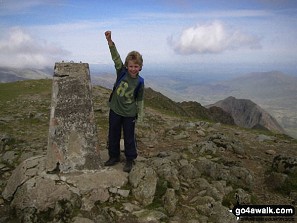
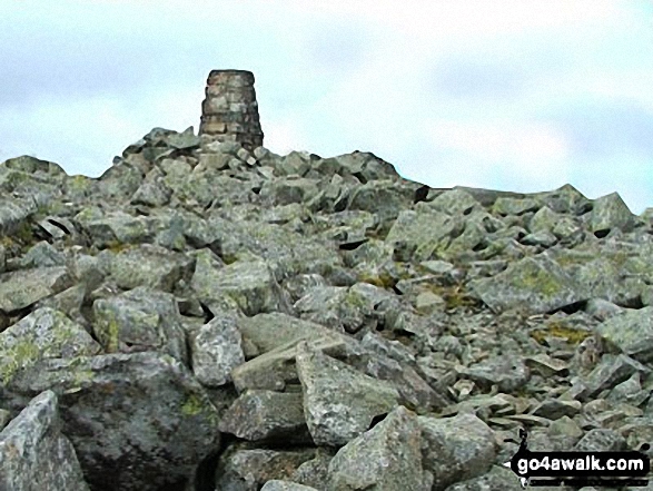
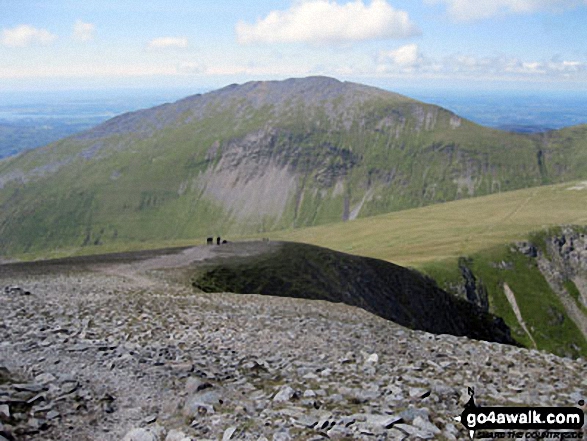
66. Garnedd Ugain (Crib y Ddysgl)
1,066m (3,499ft)
Mountain (2nd in Wales, 2nd in England & Wales)
Nuttall (2nd in Wales, 2nd in England & Wales)
OS Trig Point
To walk, climb & bag Garnedd Ugain (Crib y Ddysgl) use any of these easy-to-follow walks:
See the location of Garnedd Ugain (Crib y Ddysgl) and walks up it on a google MapGarnedd Ugain (Crib y Ddysgl) is on interactive maps:
OS Explorer (Orange Covers): OL17
OS Landranger (Pink Covers): 115
Garnedd Ugain (Crib y Ddysgl) is on downloadable PDF you can Print or Save to your Phone:
|
67. Gallt yr Ogof
763m (2,504ft)
Mountain (45th in Wales, 108th in England & Wales)
Nuttall (56th in Wales, 132nd in England & Wales)
To walk, climb & bag Gallt yr Ogof use either of these easy-to-follow walks:
See the location of Gallt yr Ogof and walks up it on a google MapGallt yr Ogof is on interactive maps:
OS Explorer (Orange Covers): OL17
OS Landranger (Pink Covers): 115
Gallt yr Ogof is on downloadable PDF you can Print or Save to your Phone:
|
68. Gallt y Wenallt
619m (2,032ft)
Nuttall (173rd in Wales, 408th in England & Wales)
To walk, climb & bag Gallt y Wenallt use this easy-to-follow walk:
See the location of Gallt y Wenallt and walks up it on a google MapGallt y Wenallt is on interactive maps:
OS Explorer (Orange Covers): OL17
OS Landranger (Pink Covers): 115
Gallt y Wenallt is on downloadable PDF you can Print or Save to your Phone:
|
69. Gallt y Daren
619m (2,032ft)
Mountain (125th in Wales, 295th in England & Wales)
Nuttall (172nd in Wales, 407th in England & Wales)
To walk, climb & bag Gallt y Daren use either of these easy-to-follow walks:
See the location of Gallt y Daren and walks up it on a google MapGallt y Daren is on interactive maps:
OS Explorer (Orange Covers): OL18 and
OL23
OS Landranger (Pink Covers): 124
Gallt y Daren is on downloadable PDF you can Print or Save to your Phone:
|
70. Foel-goch
831m (2,727ft)
Mountain (28th in Wales, 59th in England & Wales)
Nuttall (32nd in Wales, 68th in England & Wales)
To walk, climb & bag Foel-goch use either of these easy-to-follow walks:
See the location of Foel-goch and walks up it on a google MapFoel-goch is on interactive maps:
OS Explorer (Orange Covers): OL17
OS Landranger (Pink Covers): 115
Foel-goch is on downloadable PDF you can Print or Save to your Phone:
|
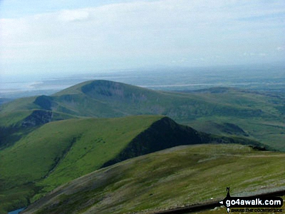
71. Foel-fras (Carneddau)
942m (3,091ft)
Mountain (11th in Wales, 14th in England & Wales)
Nuttall (12th in Wales, 16th in England & Wales)
OS Trig Point
We hope to have walks that climb & bag Foel-fras (Carneddau) very soon
See the location of Foel-fras (Carneddau) and walks up it on a google MapFoel-fras (Carneddau) is on interactive maps:
OS Explorer (Orange Covers): OL17
OS Landranger (Pink Covers): 115
Foel-fras (Carneddau) is on downloadable PDF you can Print or Save to your Phone:
|
72. Foel y Geifr (Berwyns)
626m (2,055ft)
Mountain (119th in Wales, 283rd in England & Wales)
Nuttall (164th in Wales, 385th in England & Wales)
OS Trig Point
To walk, climb & bag Foel y Geifr (Berwyns) use either of these easy-to-follow walks:
See the location of Foel y Geifr (Berwyns) and walks up it on a google MapFoel y Geifr (Berwyns) is on interactive maps:
OS Explorer (Orange Covers): OL23
OS Landranger (Pink Covers): 125
Foel y Geifr (Berwyns) is on downloadable PDF you can Print or Save to your Phone:
|
73. Foel Rhudd
659m (2,163ft)
Nuttall (130th in Wales, 311th in England & Wales)
To walk, climb & bag Foel Rhudd use this easy-to-follow walk:
See the location of Foel Rhudd and walks up it on a google MapFoel Rhudd is on interactive maps:
OS Explorer (Orange Covers): OL23
OS Landranger (Pink Covers): 124
Foel Rhudd is on downloadable PDF you can Print or Save to your Phone:
|
74. Foel Penolau
614m (2,016ft)
Mountain (128th in Wales, 304th in England & Wales)
Nuttall (178th in Wales, 421st in England & Wales)
Foel Penolau was upgraded to a Welsh Mountain (Hewiit) in December, 2018
To walk, climb & bag Foel Penolau use this easy-to-follow walk:
See the location of Foel Penolau and walks up it on a google MapFoel Penolau is on interactive maps:
OS Explorer (Orange Covers): OL18
OS Landranger (Pink Covers): 124
Foel Penolau is on downloadable PDF you can Print or Save to your Phone:
|
75. Foel Meirch
800m (2,625ft)
Nuttall (44th in Wales, 94th in England & Wales)
To walk, climb & bag Foel Meirch use this easy-to-follow walk:
See the location of Foel Meirch and walks up it on a google MapFoel Meirch is on interactive maps:
OS Explorer (Orange Covers): OL17
OS Landranger (Pink Covers): 115
Foel Meirch is on downloadable PDF you can Print or Save to your Phone:
|
76. Foel Gron
629m (2,064ft)
Mountain (116th in Wales, 277th in England & Wales)
Nuttall (160th in Wales, 375th in England & Wales)
To walk, climb & bag Foel Gron use either of these easy-to-follow walks:
See the location of Foel Gron and walks up it on a google MapFoel Gron is on interactive maps:
OS Explorer (Orange Covers): OL17
OS Landranger (Pink Covers): 115
Foel Gron is on downloadable PDF you can Print or Save to your Phone:
|
77. Foel Grach
976m (3,203ft)
Mountain (8th in Wales, 9th in England & Wales)
Nuttall (8th in Wales, 9th in England & Wales)
To walk, climb & bag Foel Grach use this easy-to-follow walk:
See the location of Foel Grach and walks up it on a google MapFoel Grach is on interactive maps:
OS Explorer (Orange Covers): OL17
OS Landranger (Pink Covers): 115
Foel Grach is on downloadable PDF you can Print or Save to your Phone:
|
78. Foel Goch (Berwyns)
612m (2,010ft)
Mountain (130th in Wales, 307th in England & Wales)
Nuttall (182nd in Wales, 427th in England & Wales)
To walk, climb & bag Foel Goch (Berwyns) use either of these easy-to-follow walks:
See the location of Foel Goch (Berwyns) and walks up it on a google MapFoel Goch (Berwyns) is on interactive maps:
OS Explorer (Orange Covers): OL23
OS Landranger (Pink Covers): 125
Foel Goch (Berwyns) is on downloadable PDF you can Print or Save to your Phone:
|
79. Foel Cwm-Sian Llwyd
648m (2,127ft)
Mountain (104th in Wales, 251st in England & Wales)
Nuttall (141st in Wales, 335th in England & Wales)
OS Trig Point
To walk, climb & bag Foel Cwm-Sian Llwyd use either of these easy-to-follow walks:
See the location of Foel Cwm-Sian Llwyd and walks up it on a google MapFoel Cwm-Sian Llwyd is on interactive maps:
OS Explorer (Orange Covers): 255
OS Landranger (Pink Covers): 125
Foel Cwm-Sian Llwyd is on downloadable PDF you can Print or Save to your Phone:
|
80. Foel Boeth (Arenigs)
615m (2,019ft)
Nuttall (177th in Wales, 419th in England & Wales)
To walk, climb & bag Foel Boeth (Arenigs) use either of these easy-to-follow walks:
See the location of Foel Boeth (Arenigs) and walks up it on a google MapFoel Boeth (Arenigs) is on interactive maps:
OS Explorer (Orange Covers): OL18 and
OL23
OS Landranger (Pink Covers): 124
Foel Boeth (Arenigs) is on downloadable PDF you can Print or Save to your Phone:
|
81. Esgeiriau Gwynion
671m (2,202ft)
Mountain (85th in Wales, 213th in England & Wales)
Nuttall (115th in Wales, 284th in England & Wales)
Marilyn (40th in Wales, 650th in GB)
To walk, climb & bag Esgeiriau Gwynion use this easy-to-follow walk:
See the location of Esgeiriau Gwynion and walks up it on a google MapEsgeiriau Gwynion is on interactive maps:
OS Explorer (Orange Covers): OL23
OS Landranger (Pink Covers): 124
Esgeiriau Gwynion is on downloadable PDF you can Print or Save to your Phone:
|
82. Erw y Ddafad-ddu
872m (2,861ft)
Mountain (22nd in Wales, 37th in England & Wales)
Nuttall (24th in Wales, 42nd in England & Wales)
To walk, climb & bag Erw y Ddafad-ddu use either of these easy-to-follow walks:
See the location of Erw y Ddafad-ddu and walks up it on a google MapErw y Ddafad-ddu is on interactive maps:
OS Explorer (Orange Covers): OL23
OS Landranger (Pink Covers): 124
Erw y Ddafad-ddu is on downloadable PDF you can Print or Save to your Phone:
|
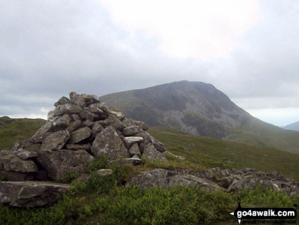
83. Elidir Fawr
924m (3,033ft)
Mountain (13th in Wales, 19th in England & Wales)
Nuttall (14th in Wales, 22nd in England & Wales)
Marilyn (5th in Wales, 201st in GB)
To walk, climb & bag Elidir Fawr use either of these easy-to-follow walks:
See the location of Elidir Fawr and walks up it on a google MapElidir Fawr is on interactive maps:
OS Explorer (Orange Covers): OL17
OS Landranger (Pink Covers): 115
Elidir Fawr is on downloadable PDF you can Print or Save to your Phone:
|
84. Drum (Carneddau)
771m (2,530ft)
Mountain (42nd in Wales, 102nd in England & Wales)
Nuttall (53rd in Wales, 126th in England & Wales)
To walk, climb & bag Drum (Carneddau) use any of these easy-to-follow walks:
See the location of Drum (Carneddau) and walks up it on a google MapDrum (Carneddau) is on interactive maps:
OS Explorer (Orange Covers): OL17
OS Landranger (Pink Covers): 115
Drum (Carneddau) is on downloadable PDF you can Print or Save to your Phone:
|
85. Drosgl
758m (2,488ft)
Mountain (47th in Wales, 113th in England & Wales)
Nuttall (58th in Wales, 137th in England & Wales)
To walk, climb & bag Drosgl use either of these easy-to-follow walks:
See the location of Drosgl and walks up it on a google MapDrosgl is on interactive maps:
OS Explorer (Orange Covers): OL17
OS Landranger (Pink Covers): 115
Drosgl is on downloadable PDF you can Print or Save to your Phone:
|
86. Diffwys (West Top)
643m (2,110ft)
Nuttall (147th in Wales, 343rd in England & Wales)
To walk, climb & bag Diffwys (West Top) use this easy-to-follow walk:
See the location of Diffwys (West Top) and walks up it on a google MapDiffwys (West Top) is on interactive maps:
OS Explorer (Orange Covers): OL18
OS Landranger (Pink Covers): 124
Diffwys (West Top) is on downloadable PDF you can Print or Save to your Phone:
|
87. Diffwys
750m (2,462ft)
Mountain (51st in Wales, 120th in England & Wales)
Nuttall (63rd in Wales, 147th in England & Wales)
OS Trig Point
To walk, climb & bag Diffwys use this easy-to-follow walk:
See the location of Diffwys and walks up it on a google MapDiffwys is on interactive maps:
OS Explorer (Orange Covers): OL18
OS Landranger (Pink Covers): 124
Diffwys is on downloadable PDF you can Print or Save to your Phone:
|
88. Dduallt (Arenigs)
662m (2,172ft)
Mountain (97th in Wales, 232nd in England & Wales)
Nuttall (126th in Wales, 305th in England & Wales)
To walk, climb & bag Dduallt (Arenigs) use this easy-to-follow walk:
See the location of Dduallt (Arenigs) and walks up it on a google MapDduallt (Arenigs) is on interactive maps:
OS Explorer (Orange Covers): OL23
OS Landranger (Pink Covers): 124 and
125
Dduallt (Arenigs) is on downloadable PDF you can Print or Save to your Phone:
|
89. Cyfrwy
811m (2,662ft)
Mountain (31st in Wales, 68th in England & Wales)
Nuttall (39th in Wales, 82nd in England & Wales)
To walk, climb & bag Cyfrwy use any of these easy-to-follow walks:
See the location of Cyfrwy and walks up it on a google MapCyfrwy is on interactive maps:
OS Explorer (Orange Covers): OL23
OS Landranger (Pink Covers): 124
Cyfrwy is on downloadable PDF you can Print or Save to your Phone:
|
90. Cribin Fawr
658m (2,161ft)
Mountain (99th in Wales, 235th in England & Wales)
Nuttall (133rd in Wales, 314th in England & Wales)
To walk, climb & bag Cribin Fawr use either of these easy-to-follow walks:
See the location of Cribin Fawr and walks up it on a google MapCribin Fawr is on interactive maps:
OS Explorer (Orange Covers): OL23
OS Landranger (Pink Covers): 124
Cribin Fawr is on downloadable PDF you can Print or Save to your Phone:
|
Page 3 of 5 Go to page:
1 2 3 4 5 |
View these 121 Mountains, Peaks, Tops and Hills:
# Whether you print copies or download them to your phone, these Peak Baggers' Maps will prove incredibly useful if you want to know what's what when you are up in the mountains and cannot get a phone signal.
Is there a Mountain, Peak, Top or Hill missing from the above google map or list?
Let us know an we will add it to our database.


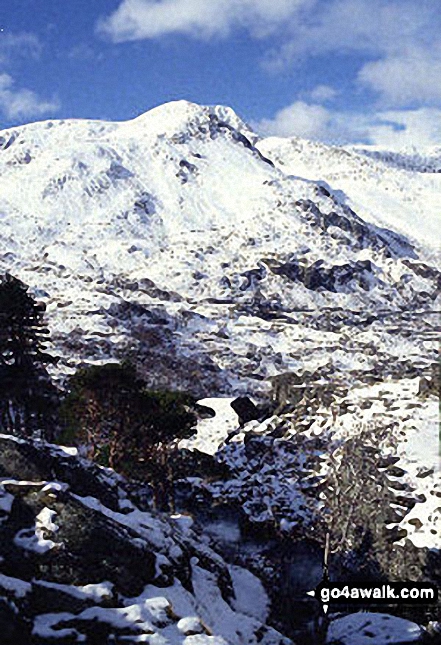
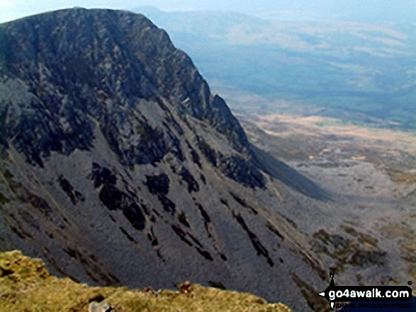
 Snowdon (Yr Wyddfa) in The Cadair Idris areaSnowdonia
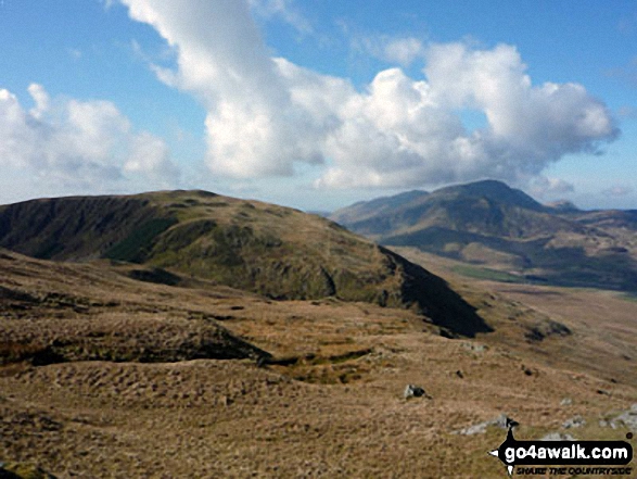


