   |
Vital Statistics:
| Length: | 12mls (19km) |
| Ascent: | 4,723ft (1,439m) |
| Time: | 9¼hrs |
| Grade: |  |
Route outline for walk gw159:
Maes-y-garnedd - Nantcol - Rhinog Fawr - Bwlch Drws-Ardudwy - Rhinog Fach - Llyn Hywel - Y Llethr - Crib-y-rhiw - Diffwys - Diffwys (West Top) - Llyn Bodlyn - Cil-cychwyn - Pont Cerrig - Afon Cwmnantcol - Cwm Nantcol - Maes-y-garnedd
Peaks, Summits and Tops reached on this walk:
 4 Welsh Mountains |
 0 Wainwrights |
 6 Welsh Nuttalls |
 0 Welsh Deweys |
 0 Wainwright Outlying Fells |
 3 Welsh Marilyns |
 0 Bridgets |
Peak Bagging Statistics for this walk:
The highest point of this walk is Y Llethr at 756m (2481ft). Y Llethr is classified as a Welsh Mountain (Hewitt) (48th highest in Wales, 115th highest in England & Wales)
Y Llethr is also known as a Welsh Nuttall (59th highest in Wales, 141st highest in England & Wales) and a Welsh Marilyn (21st highest in Wales, 475th highest in the UK).
Completing this walk will also take you to the top of Diffwys at 750m (2462ft). Diffwys is classified as a Welsh Mountain (Hewitt) (51st highest in Wales, 120th highest in England & Wales)
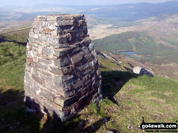
Diffwys is also known as a Welsh Nuttall (63rd highest in Wales, 147th highest in England & Wales). The summit of Diffwys is marked by an Ordnance Survey Trig Point.
You will also reach the summit of Rhinog Fawr at 720m (2363ft). Rhinog Fawr is classified as a Welsh Mountain (Hewitt) (61st highest in Wales, 148th highest in England & Wales)
Rhinog Fawr is also known as a Welsh Nuttall (77th highest in Wales, 185th highest in England & Wales) and a Welsh Marilyn (30th highest in Wales, 548th highest in the UK).
The summit of Rhinog Fawr is marked by an Ordnance Survey Trig Point.
Along the way you will also bag:
- Rhinog Fach at 712m (2337ft). Rhinog Fach is classified as a Welsh Mountain (Hewitt) (63rd Wales, 156th Eng & Wal), a Welsh Nuttall (82nd highest in Wales, 198th highest in England & Wales) and a Welsh Marilyn (31st Wales, 559th highest in the UK). The summit of Rhinog Fach is marked by a cairn.. Rhinog Fach was promoted to Marilyn status in August, 2021
- Crib-y-rhiw at 681m (2235ft). Crib-y-rhiw is known as a Welsh Nuttall (104th highest in Wales, 254th highest in England & Wales).
- Diffwys (West Top) at 643m (2110ft). Diffwys (West Top) is known as a Welsh Nuttall (147th highest in Wales, 343rd highest in England & Wales).
You can find this walk and other nearby walks on these unique free-to-access Interactive Walk Planning Maps:
1:25,000 scale OS Explorer Map (orange/yellow covers):
1:50,000 scale OS Landranger Map (pink/magenta covers):
Some Photos and Pictures from Walk gw159 Rhinog Fawr, Rhinog Fach, Y Llethr and Diffwys from Cwm Nantcol
In no particular order . . .

360 panorama from the summit of Rhinog Fach featuring: Rhinog Fach. Cadair Idris (in the distance), Y Llethr, Moelfre (Rhinogs), Cwm Nantcol and Rhinog Fach
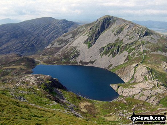
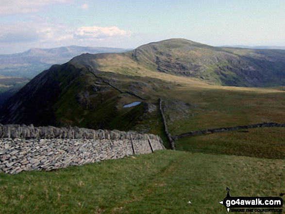
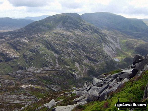
Rhinog Fawr (centre left) and Rhinog Fach (centre right) and Llyn Hywel from Y Llethr
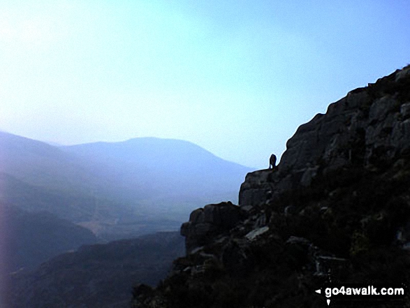
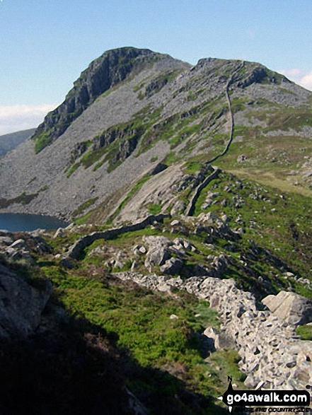
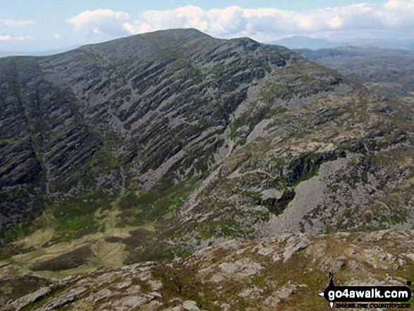
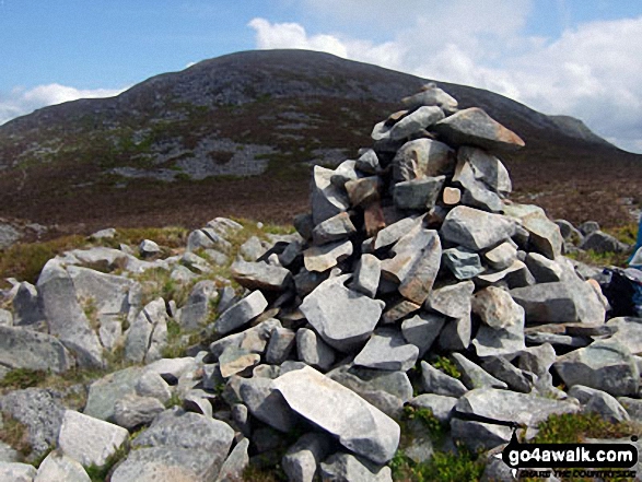
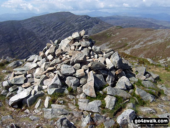
Rhinog Fawr towers above Bwlch Drws-Ardudwy from the cairn on the North end of the Rhinog Fach ridge
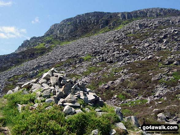
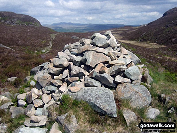
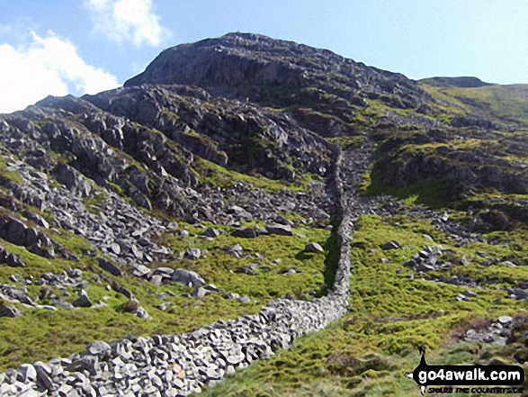
Looking back up to Rhinog Fawr from the large cairn on Bwlch Drws-Ardudwy
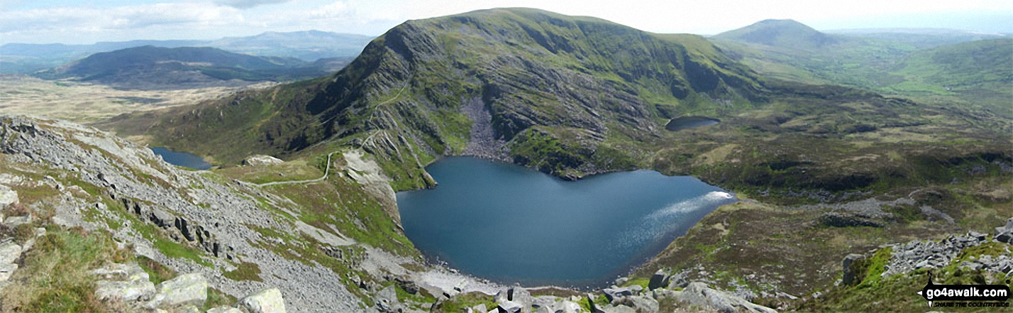
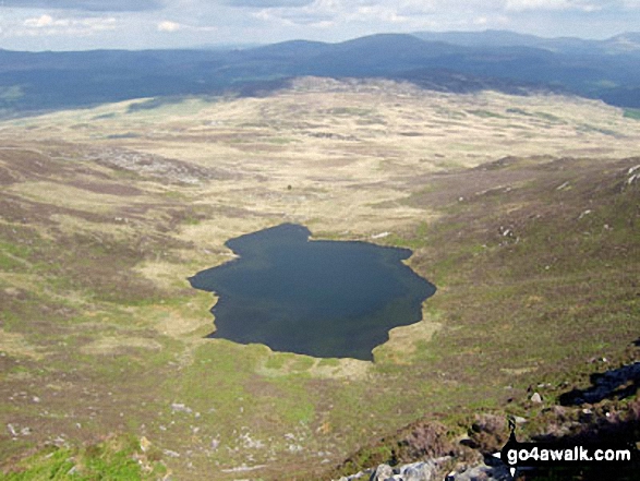
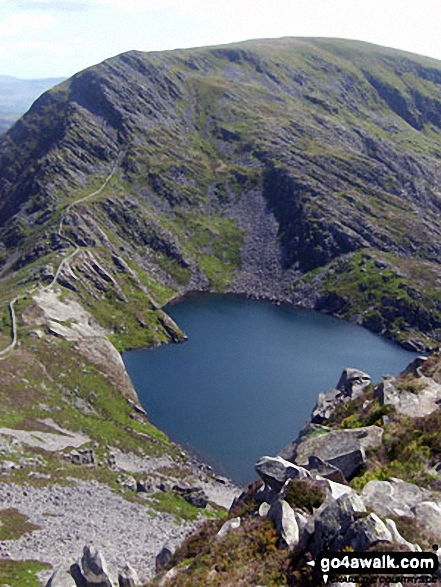
Llyn Hywel below Y Llethr with Cadair Idris (in the distance centre left), Moelfre (Rhinogs) (in the distance centre right) and Cwm Nantcol from the summit of Rhinog Fach
Send us your photographs and pictures from your walks and hikes
We would love to see your photographs and pictures from walk gw159 Rhinog Fawr, Rhinog Fach, Y Llethr and Diffwys from Cwm Nantcol. Send them in to us as email attachments (configured for any computer) along with your name and where the picture was taken to:
and we shall do our best to publish them.
(Guide Resolution = 300dpi. At least = 660 pixels (wide) x 440 pixels (high).)

You can also submit photos from walk gw159 Rhinog Fawr, Rhinog Fach, Y Llethr and Diffwys from Cwm Nantcol via our Facebook Page.
NB. Please indicate where each photo was taken.


