   |
Vital Statistics:
| Length: | 5½mls (9km) |
| Ascent: | 2,854ft (870m) |
| Time: | 5hrs |
| Grade: |  |
Route outline for walk gw115:
Llyn Ogwen - Ogwen Cottage - Llyn Bochlwyd - Bwlch Tryfan - Bristly Ridge - The Cantilever Stone - Glyder Fach - Castell y Gwynt (Glyder Fach) - Bwlch y Ddwy-Glyder - Glyder Fawr - Llyn y Cwm - Twll Du (Devil's Kitchen) - Llyn Idwal - Ogwen Cottage - Pont Pen-y-benglog - Llyn Ogwen
Points of Interest/Notes on this walk:
Try and find time to have a look underneath Pont Pen-y-benglog (near Ogwen Cottage at the western end of Llyn Ogwen) where the remains of the original stone arched bridge built by Thomas Telford can be seen. Access the river bank is via a stile on NW side of the bridge.
Peaks, Summits and Tops reached on this walk:
 2 Welsh Mountains |
 0 Wainwrights |
 3 Welsh Nuttalls |
 0 Welsh Deweys |
 0 Wainwright Outlying Fells |
 1 Welsh Marilyn |
 0 Bridgets |
Peak Bagging Statistics for this walk:
The highest point of this walk is Glyder Fawr at 999m (3279ft). Glyder Fawr is classified as a Welsh Mountain (Hewitt) (5th highest in Wales, 5th highest in England & Wales)
Glyder Fawr is also known as a Welsh Nuttall (5th highest in Wales, 5th highest in England & Wales) and a Welsh Marilyn (3rd highest in Wales, 111th highest in the UK).
Glyder Fawr means 'Large Heap or Large Pile of Stones' in Welsh and is pronounced 'g-lid-der var'.
Completing this walk will also take you to the top of Glyder Fach at 990m (3249ft). Glyder Fach is classified as a Welsh Mountain (Hewitt) (6th highest in Wales, 6th highest in England & Wales)
Glyder Fach is also known as a Welsh Nuttall (6th highest in Wales, 6th highest in England & Wales). Glyder Fach means 'Small Heap or Small Pile of Stones' in Welsh and is pronounced 'g-lid-der vach'.
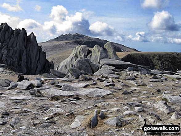
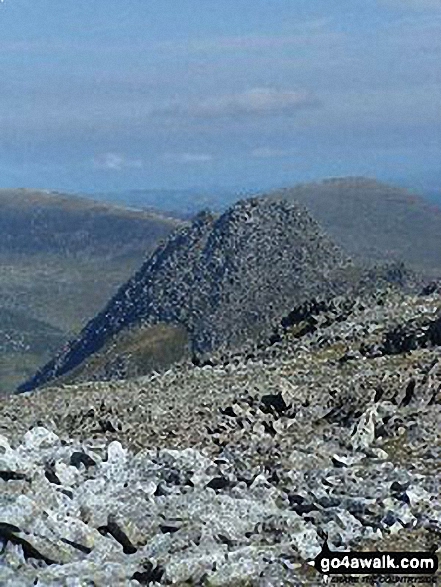
You will also reach the summit of Castell y Gwynt (Glyder Fach) at 972m (3190ft). Castell y Gwynt (Glyder Fach) is also known as a Welsh Nuttall (9th highest in Wales, 10th highest in England & Wales). Castell y Gwynt (Glyder Fach) means 'Castle of the Wind' in Welsh.
You can find this walk and other nearby walks on these unique free-to-access Interactive Walk Planning Maps:
1:25,000 scale OS Explorer Map (orange/yellow covers):
1:50,000 scale OS Landranger Map (pink/magenta covers):
Some Photos and Pictures from Walk gw115 Glyder Fach, Castell y Gwynt and Glyder Fawr from Ogwen Cottage, Llyn Ogwen
In no particular order . . .
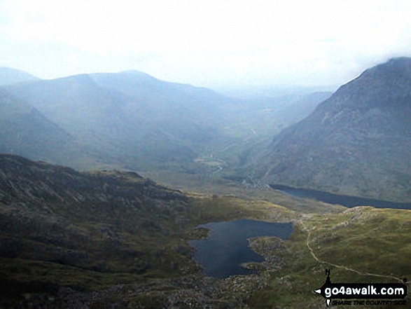
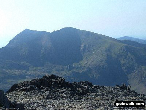
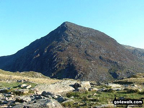
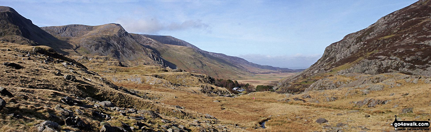
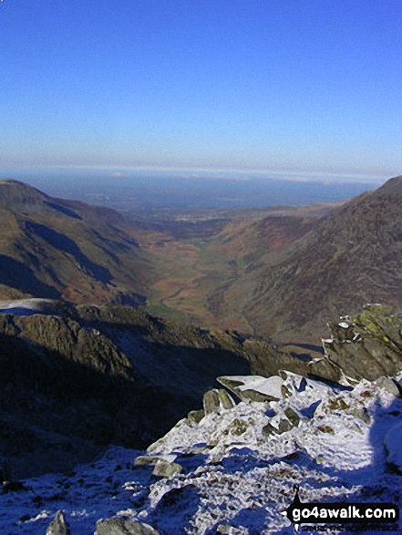
Y Garn (Glyderau) (far left), Foel-goch (Glyderau), Carnedd y Filliast, Ogwen Cottage, Nant Ffrancon and the shoulder of Pen yr Ole Wen (right) from Llyn Idwal
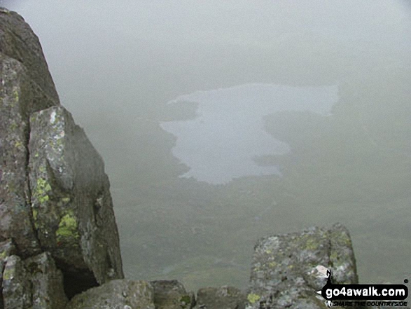
Ogwen Cottage, Nant Ffrancon and the shoulder of Pen yr Ole Wen from Llyn Idwal
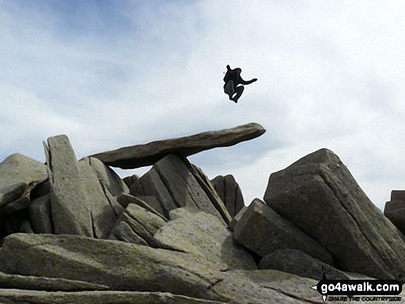
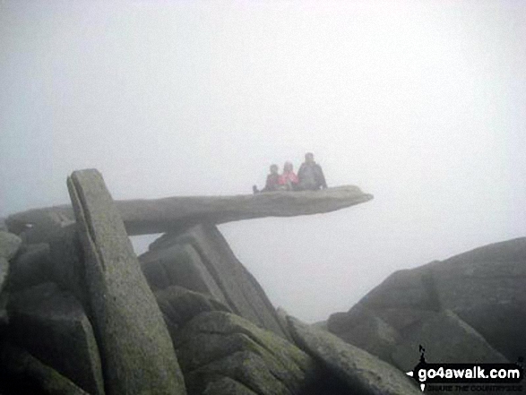
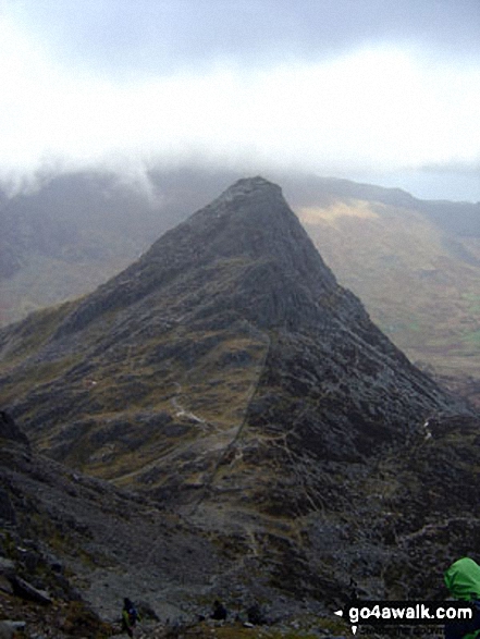
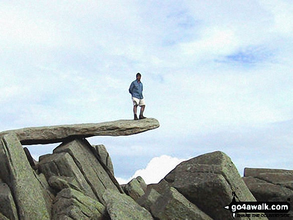
Hubby and kids, YingLi and WingHoi, on the cantilever rock on Glyder Fach in the mist
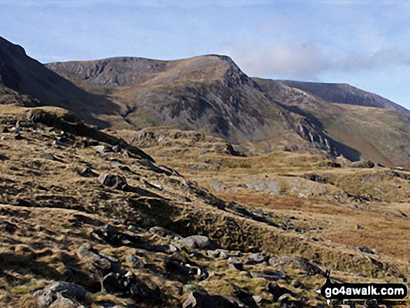
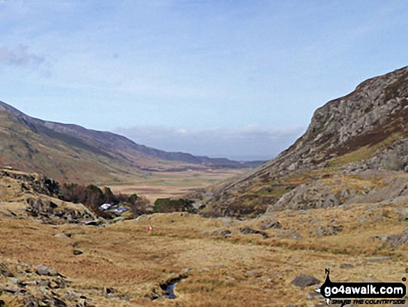
Y Garn (Glyderau) (far left), Foel-goch (Glyderau) and Carnedd y Filliast from Llyn Idwal
Send us your photographs and pictures from your walks and hikes
We would love to see your photographs and pictures from walk gw115 Glyder Fach, Castell y Gwynt and Glyder Fawr from Ogwen Cottage, Llyn Ogwen. Send them in to us as email attachments (configured for any computer) along with your name and where the picture was taken to:
and we shall do our best to publish them.
(Guide Resolution = 300dpi. At least = 660 pixels (wide) x 440 pixels (high).)

You can also submit photos from walk gw115 Glyder Fach, Castell y Gwynt and Glyder Fawr from Ogwen Cottage, Llyn Ogwen via our Facebook Page.
NB. Please indicate where each photo was taken.


