   |
Vital Statistics:
| Length: | 6½mls (10.5km) |
| Ascent: | 1,664ft (507m) |
| Time: | 4¼hrs |
| Grade: |  |
Route outline for walk gw150:
Moel-y-geifr - Llyn Eiddew-bach - Llyn Du - Moel Ysgyfarnogod - Foel Penolau - Llyn Dywarchen - Llyn Eiddew-bach - Moel-y-geifr
Peaks, Summits and Tops reached on this walk:
 2 Welsh Mountains |
 0 Wainwrights |
 2 Welsh Nuttalls |
 0 Welsh Deweys |
 0 Wainwright Outlying Fells |
 1 Welsh Marilyn |
 0 Bridgets |
Peak Bagging Statistics for this walk:
The highest point of this walk is Moel Ysgyfarnogod at 623m (2044ft). Moel Ysgyfarnogod is classified as a Welsh Mountain (Hewitt) (121st highest in Wales, 287th highest in England & Wales)
Moel Ysgyfarnogod is also known as a Welsh Nuttall (168th highest in Wales, 395th highest in England & Wales) and a Welsh Marilyn (50th highest in Wales, 722nd highest in the UK).
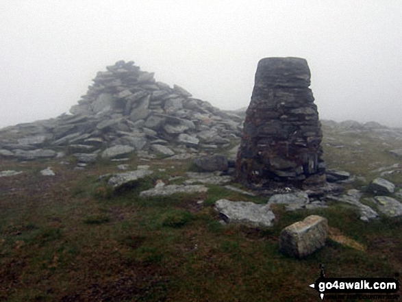
The summit of Moel Ysgyfarnogod is marked by an Ordnance Survey Trig Point.
Completing this walk will also take you to the top of Foel Penolau at 614m (2016ft). Foel Penolau is classified as a Welsh Mountain (Hewitt) (128th highest in Wales, 304th highest in England & Wales)
Foel Penolau is also known as a Welsh Nuttall (178th highest in Wales, 421st highest in England & Wales).
You can find this walk and other nearby walks on these unique free-to-access Interactive Walk Planning Maps:
1:25,000 scale OS Explorer Map (orange/yellow covers):
1:50,000 scale OS Landranger Map (pink/magenta covers):
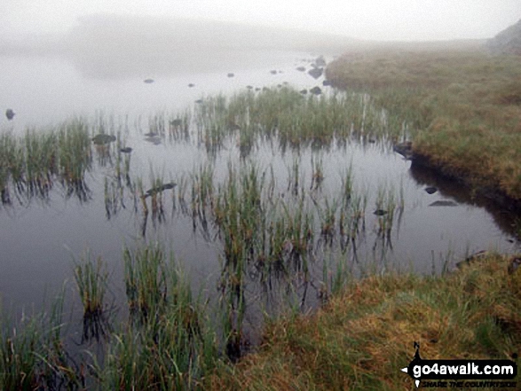
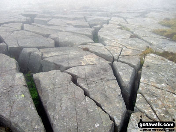
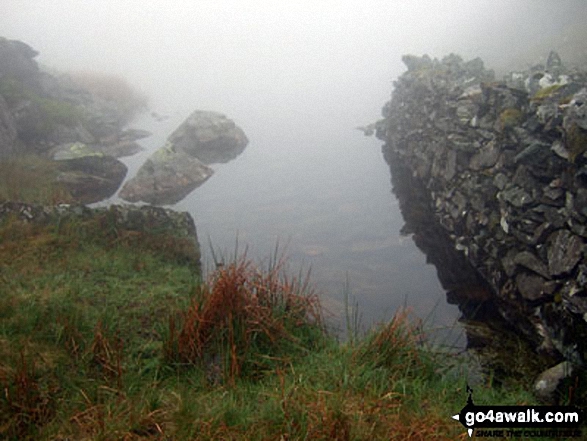
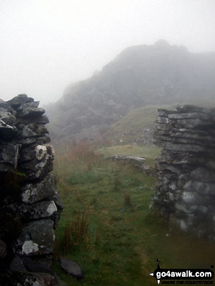
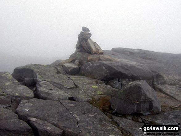
Some Photos and Pictures from Walk gw150 Moel Ysgyfarnogod and Foel Penolau from Moel-y-geifr
In no particular order . . .
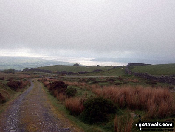
Tremadog Bay from the lower slopes of Moel Ysgyfarnogod as the mist starts to lift
Send us your photographs and pictures from your walks and hikes
We would love to see your photographs and pictures from walk gw150 Moel Ysgyfarnogod and Foel Penolau from Moel-y-geifr. Send them in to us as email attachments (configured for any computer) along with your name and where the picture was taken to:
and we shall do our best to publish them.
(Guide Resolution = 300dpi. At least = 660 pixels (wide) x 440 pixels (high).)

You can also submit photos from walk gw150 Moel Ysgyfarnogod and Foel Penolau from Moel-y-geifr via our Facebook Page.
NB. Please indicate where each photo was taken.


