   |
Vital Statistics:
| Length: | 12¾mls (20.5km) |
| Ascent: | 2,763ft (842m) |
| Time: | 7½hrs |
| Grade: |  |
Route outline for walk gw120:
Hirnant Pass - Foel Goch (Berwyns) - Trum y Gwrgedd - Trum y Gwragedd - Foel y Geifr (Berwyns) - Pen y Cerrig Duon - Pen y Boncyn Trefeilw - Stac Rhos - Cefn Gwyntog - Foel Cedig - Cyrniau Nod - Y Groes Fagl - Pennllyn Forest - Ystrad-y-groes - Hirnant Pass
Points of Interest/Notes on this walk:
Trum y Gwragedd is spelt incorrectly on OS map OL23 as Trum y Gwrgedd
Peaks, Summits and Tops reached on this walk:
 4 Welsh Mountains |
 0 Wainwrights |
 8 Welsh Nuttalls |
 0 Welsh Deweys |
 0 Wainwright Outlying Fells |
 1 Welsh Marilyn |
 1 Bridget |
Peak Bagging Statistics for this walk:
The highest point of this walk is Foel Cedig at 668m (2192ft). Foel Cedig is classified as a Welsh Mountain (Hewitt) (90th highest in Wales, 219th highest in England & Wales)
Foel Cedig is also known as a Welsh Nuttall (120th highest in Wales, 291st highest in England & Wales) and a Welsh Marilyn (42nd highest in Wales, 656th highest in the UK).
Completing this walk will also take you to the top of Cyrniau Nod at 666m (2185ft). Cyrniau Nod is known as a Welsh Bridget.
You will also reach the summit of Y Groes Fagl at 659m (2163ft). Y Groes Fagl is also known as a Welsh Nuttall (131st highest in Wales, 312th highest in England & Wales).
Along the way you will also bag:
- Pen y Boncyn Trefeilw at 646m (2120ft). Pen y Boncyn Trefeilw is classified as a Welsh Mountain (Hewitt) (107th Wales, 259th Eng & Wal) and a Welsh Nuttall (144th highest in Wales, 340th highest in England & Wales).
- Stac Rhos at 630m (2067ft). Stac Rhos is known as a Welsh Nuttall (158th highest in Wales, 373rd highest in England & Wales).
- Foel y Geifr (Berwyns) at 626m (2055ft). Foel y Geifr (Berwyns) is classified as a Welsh Mountain (Hewitt) (119th Wales, 283rd Eng & Wal) and a Welsh Nuttall (164th highest in Wales, 385th highest in England & Wales). The summit of Foel y Geifr (Berwyns) is marked by an Ordnance Survey Trig Point.
- Cefn Gwyntog at 614m (2015ft). Cefn Gwyntog is known as a Welsh Nuttall (179th highest in Wales, 422nd highest in England & Wales).
- Foel Goch (Berwyns) at 612m (2010ft). Foel Goch (Berwyns) is classified as a Welsh Mountain (Hewitt) (130th Wales, 307th Eng & Wal) and a Welsh Nuttall (182nd highest in Wales, 427th highest in England & Wales). Foel Goch (Berwyns) means 'Red Bare Hill' in Welsh and is pronounced 'foil gokh'.
- Trum y Gwrgedd at 612m (2009ft). Trum y Gwrgedd is known as a Welsh Nuttall (183rd highest in Wales, 429th highest in England & Wales).
You can find this walk and other nearby walks on these unique free-to-access Interactive Walk Planning Maps:
1:25,000 scale OS Explorer Maps (orange/yellow covers):
1:50,000 scale OS Landranger Map (pink/magenta covers):
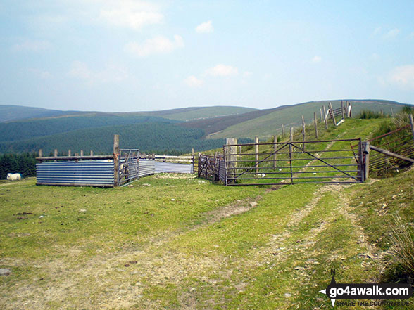
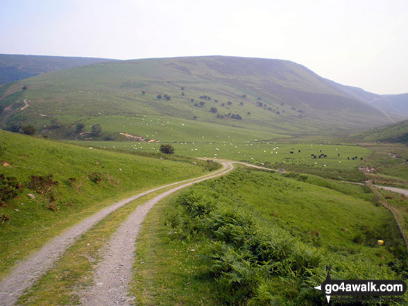
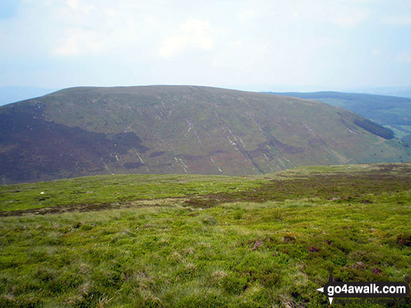
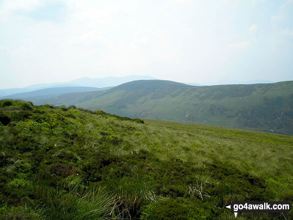
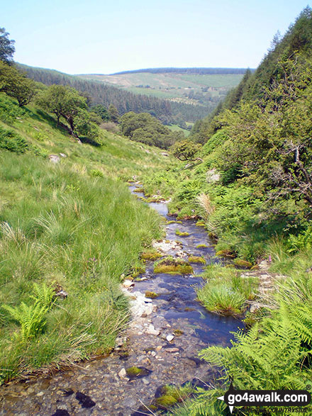
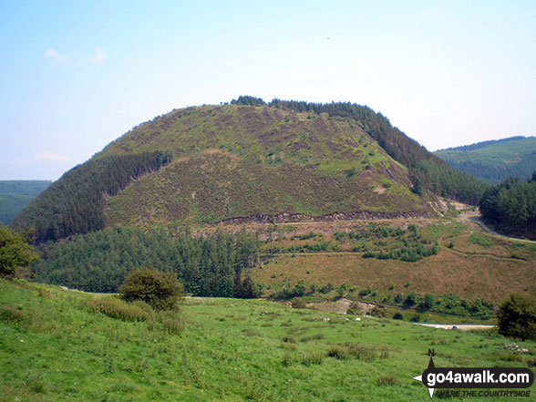
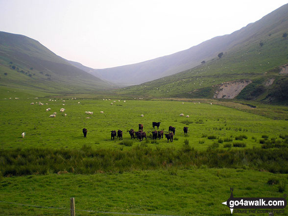
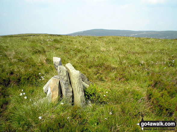
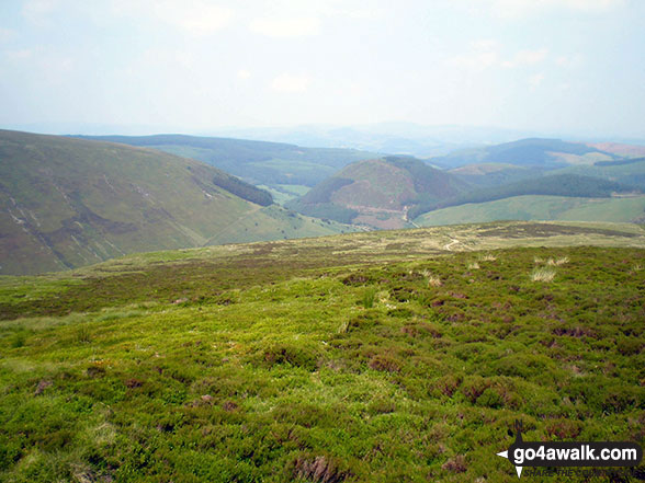
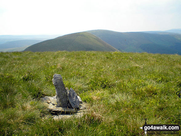
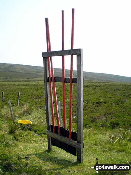
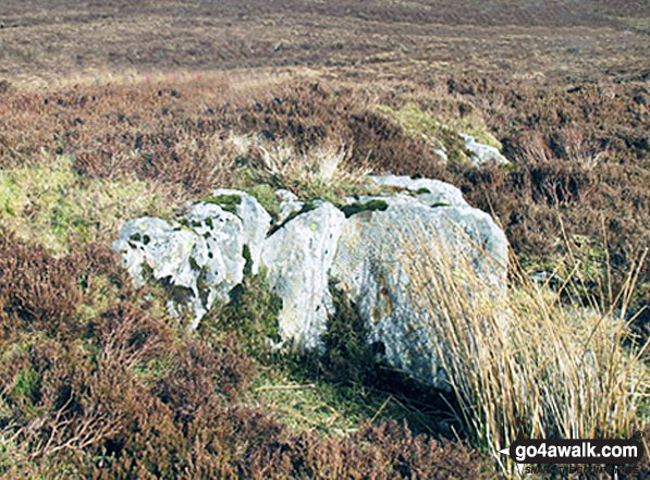
Some Photos and Pictures from Walk gw120 The Western Berwyns from Hirnant Pass
In no particular order . . .

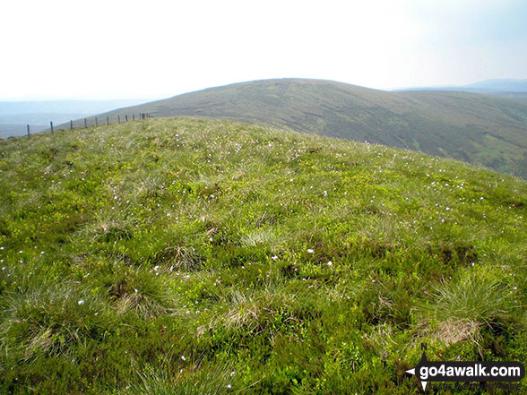
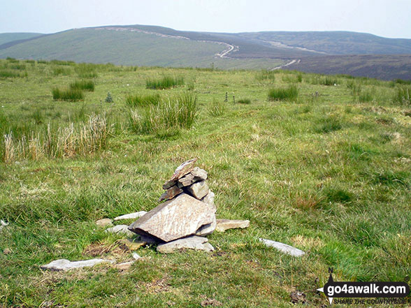
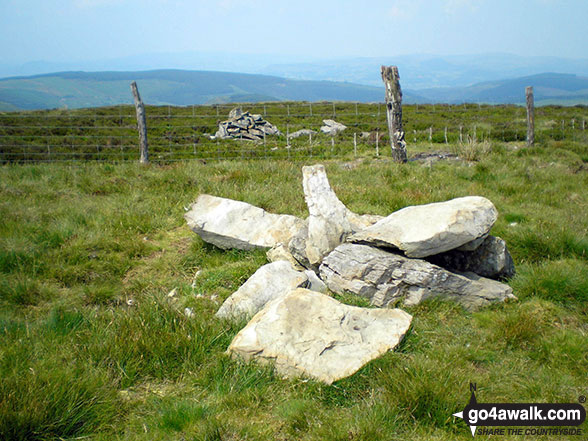
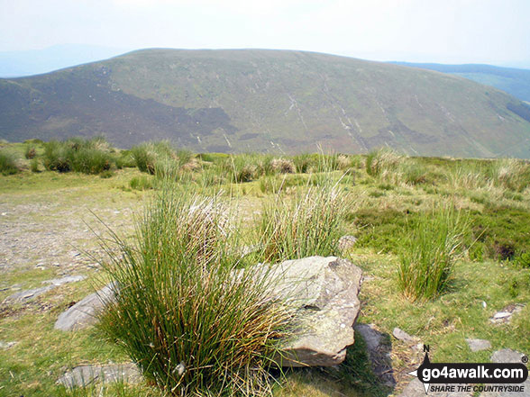
Pen y Cerrig Duon summit cairn with Trum y Gwrgedd and Foel Goch (Berwyns) in the background
. . . load all 28 walk photos from Walk gw120 The Western Berwyns from Hirnant Pass
Send us your photographs and pictures from your walks and hikes
We would love to see your photographs and pictures from walk gw120 The Western Berwyns from Hirnant Pass. Send them in to us as email attachments (configured for any computer) along with your name and where the picture was taken to:
and we shall do our best to publish them.
(Guide Resolution = 300dpi. At least = 660 pixels (wide) x 440 pixels (high).)

You can also submit photos from walk gw120 The Western Berwyns from Hirnant Pass via our Facebook Page.
NB. Please indicate where each photo was taken.


