Walk gw167 Waun-oer, Cribin Fawr and Maesglase from Bryn Coedwig, Aberllefenni
This 12½ mile, Grade 8 (Hard), easy-to-follow, hand-crafted walk, complete with GPS Waypoints, starts at Aberllefenni & will take about 8¼ hrs to complete.
   |
Vital Statistics:
| Length: | 12½mls (20km) |
| Ascent: | 3,738ft (1,139m) |
| Time: | 8¼hrs |
| Grade: |  |
Route outline for walk gw167:
Aberllefenni - Bryn Coedwig Field Studies Centre - Cwm Ratgoed - Fynnon-Badarn - Ffridd Newydd - Mynydd Ceiswyn - Waun-oer - Cribin Fawr - Craig Portas - Craig Portas (East Top) - Maesglase (Craig Rhiw-erch) - Maesglase (Maen Du) - Craig Portas (East Top) - Craig Portas - Mynydd Dolgoed - Dolgoed - Ratgoed Hall - Bryn Coedwig - Aberllefenni
Peaks, Summits and Tops reached on this walk:
 3 Welsh Mountains |
 0 Wainwrights |
 3 Welsh Nuttalls |
 2 Welsh Deweys |
 0 Wainwright Outlying Fells |
 1 Welsh Marilyn |
 0 Bridgets |
Peak Bagging Statistics for this walk:
The highest point of this walk is Maesglase (Craig Rhiw-erch) at 678m (2226ft). Maesglase (Craig Rhiw-erch) is classified as a Welsh Mountain (Hewitt) (82nd highest in Wales, 199th highest in England & Wales)
Maesglase (Craig Rhiw-erch) is also known as a Welsh Nuttall (108th highest in Wales, 261st highest in England & Wales) and a Welsh Marilyn (38th highest in Wales, 641st highest in the UK).
Completing this walk will also take you to the top of Waun-oer at 670m (2198ft). Waun-oer is classified as a Welsh Mountain (Hewitt) (87th highest in Wales, 215th highest in England & Wales)
Waun-oer is also known as a Welsh Nuttall (116th highest in Wales, 286th highest in England & Wales). The summit of Waun-oer is marked by an Ordnance Survey Trig Point.
You will also reach the summit of Cribin Fawr at 658m (2161ft). Cribin Fawr is classified as a Welsh Mountain (Hewitt) (99th highest in Wales, 235th highest in England & Wales)
Cribin Fawr is also known as a Welsh Nuttall (133rd highest in Wales, 314th highest in England & Wales).
Along the way you will also bag and tick-off:
- Mynydd Ceiswyn at 605m (1986ft). Mynydd Ceiswyn is Unclassified
- Craig Portas at 605m (1985ft). Craig Portas is classified as a Welsh Dewey (6th highest in Wales, 11th highest in England & Wales).
- Craig Portas (East Top) at 587m (1926ft). Craig Portas (East Top) is classified as a Welsh Dewey (34th highest in Wales, 55th highest in England & Wales).
You can find this walk and other nearby walks on these unique Interactive Walk Planning Maps:
(worth a look if you're new to go4awalk.com & have never seen one of these before.)
1:25,000 scale OS Explorer Map (orange/yellow covers):
1:50,000 scale OS Landranger Map (pink/magenta covers):
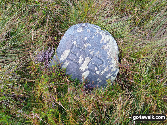
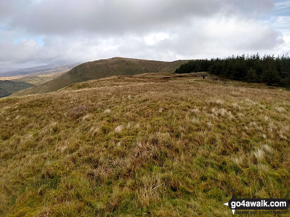
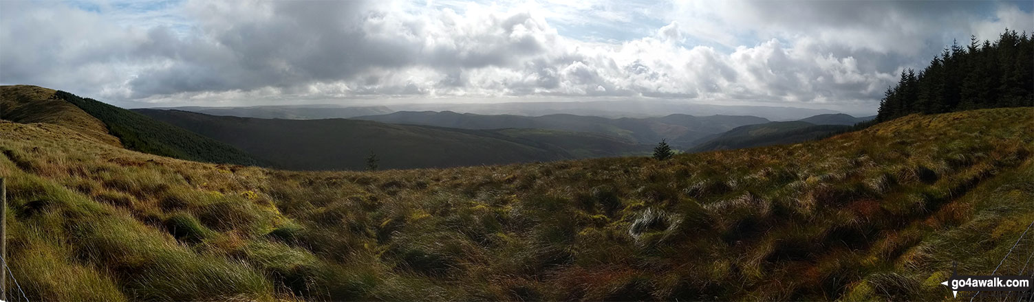
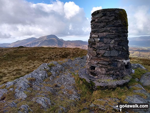
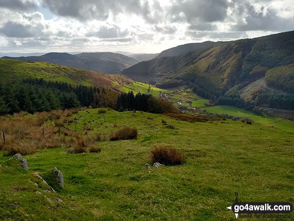
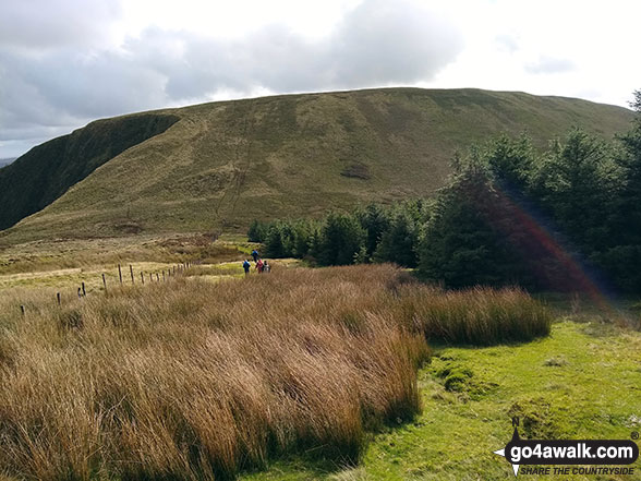
Some Photos and Pictures from Walk gw167 Waun-oer, Cribin Fawr and Maesglase from Bryn Coedwig, Aberllefenni
In no particular order . . .


Send us your photographs and pictures from your walks and hikes
We would love to see your photographs and pictures from walk gw167 Waun-oer, Cribin Fawr and Maesglase from Bryn Coedwig, Aberllefenni. Send them in to us as email attachments (configured for any computer) along with your name and where the picture was taken to:
and we shall do our best to publish them.
(Guide Resolution = 300dpi. At least = 660 pixels (wide) x 440 pixels (high).)

You can also submit photos from walk gw167 Waun-oer, Cribin Fawr and Maesglase from Bryn Coedwig, Aberllefenni via our Facebook Page.
NB. Please indicate where each photo was taken.

To contribute to go4awalk.com or to contact us about anything at all - see Talk To Us.
For help see Help.
go4awalk.com and go4awalk.co.uk are registered trademarks of TMDH Limited.
Copyright © 2000-2026 TMDH Limited. All rights reserved.
Copyright Terms & Conditions Privacy Statement
A - Z Walks Home Log On/Accounts Photo Gallery Walk Ideas and Collections Fell Facts Hill Skills Walking Questions and Answers Your Stories News Competitions Product Reviews/Gear Tests Walking Gear Guides Peaks and Mountains Peak Bagging Find New Walking Friends Camping GPS Waypoints for Walking Contents Walk Search Talk To Us go4awalk.com Help Free Example Walks Newsletter


