
![]()
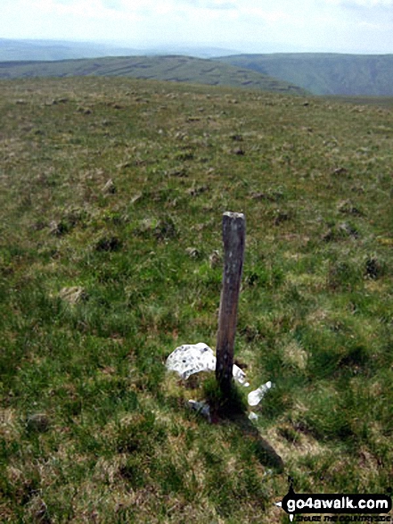
Foel Rhudd
659m (2163ft)
The Arans, Snowdonia, Gwynedd, Wales
Not familiar with this top?
   |
|---|
Vital Statistics:
| Length: | 11ml (17.5km) |
|---|---|
| Ascent: | 2,839ft (865m) |
| Time: | 6.75hrs |
| Grade: |  (Hard) (Hard) |
Route Summary:
Bwlch y Groes - Gwaun Yr Hen-Luest - Clipiau-Duon - Llechwedd Du (Arans) - Afon Twrch - Foel Rhudd - Esgeiriau Gwynion - Bwlch Sirddyn - Foel Hafod-fynydd - Creiglyn Dyfi - Llaethnant - Ceunant y Briddell - Pen y Craig - Natn Llewlyn-goch - Blaen-pennant - Afon Rhiwlech - Foel y Groes - Moel y Cerrig Duon - Bwlch y Groes
See Foel Rhudd and the surrounding tops on our free-to-access 'Google Style' Peak Bagging Maps:
The Arans of Snowdonia National Park
Less data - quicker to download
The Whole of Snowdonia National Park
More data - might take a little longer to download
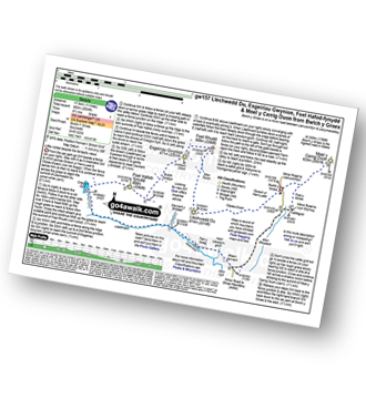
See Foel Rhudd and the surrounding tops on our downloadable Peak Bagging Map in PDF format:

NB: Whether you print off a copy or download it to your phone, this PDF Peak Baggers' Map might prove incredibly useful when your are up there on the tops and you cannot get a phone signal.
You can find Foel Rhudd & all the walks that climb it on these unique free-to-access Interactive Walk Planning Maps:
1:25,000 scale OS Explorer Map (orange/yellow covers):
1:50,000 scale OS Landranger Map (pink/magenta covers):
 Fellow go4awalkers who have already walked, climbed, summited & bagged Foel Rhudd
Christina Lander walked up Foel Rhudd on August 3rd, 2024 [from/via/route] Car park at the top of Bwlch y Groes - Clipiau-Duon - Llechwedd Du - Esgeiriau Gwynion - Foel Rhudd - pathless back to rejoin the outward path before Llechwedd Du - back to the start [with] Dick [weather] A beautiful sunny day, a bit cooler than the rest of the week - On the way home from our holiday staying at Y Gilfach, Bryn Melyn, Llandderfel
Mark Davidson climbed Foel Rhudd on June 4th, 2009 [with] Alone [weather] Lovely & sunny - fantastic views
Robert Taylor-Marriott bagged Foel Rhudd on April 25th, 2014 [from/via/route] 57 Foel Hafod-fynydd. Esgeiriau Gwynion. Foel Rhudd. Llechwedd Du. Moely Cerrig Duon (FELM) Completed 25.04.14 + Route 57: Foel Hafod-fynydd. Esgeiriau Gwynion. Foel Rhudd. Llechwedd Du. Moely Cerrig Duon (FELM) [with] Vince Wetton and Robert Taylor-Marriott [weather] Cloudy.
Vince Wetton hiked Foel Rhudd on April 25th, 2014 [from/via/route] GW157 [with] RTM [weather] Overcast turned to rain
To add (or remove) your name and experiences on this page - Log On and edit your Personal Mountain Bagging Record
Send us your photographs and pictures on, of, or from Foel Rhudd
If you would like to add your walk photographs and pictures featuring views from, on or of Foel Rhudd to this page, please send them as email attachments (configured for any computer) along with your name to:
and we shall do our best to publish them.
(Guide Resolution = 300dpi. At least = 660pixels (wide) x 440 pixels (high).)

You can also submit photos via our Facebook Page.
NB. Please indicate where each photo was taken and whether you wish us to credit your photos with a Username or your First Name/Last Name.
Not familiar with this top?


