Snowdonia National Park - a fully detailed list of all the Mountains, Peaks, Tops and Hills (Page 2 of 3)
Snowdonia National Park in Clwyd, Conwy, Gwynedd and Powys is the area of Wales within the Snowdonia National Park boundary including the non-National Park 'island' around Blaenau Ffestiniog.
If you count only the Mountains (Hewitts) there are 88 tops to climb, bag & conquer and the highest point is Snowdon (Yr Wyddfa) at 1,085m (3,561ft).
To see these Mountains, Peaks, Tops and Hills displayed in different ways - see the options in the left-hand column and towards the bottom of this page.
LOG ON and RELOAD this page to show which Mountains, Peaks, Tops and Hills you have already climbed, bagged & conquered [. . . more details]
Page 2 of 3 Go to page:
1 2 3 |
See this list in: Alphabetical Order
| Height Order‡
To reverse the order select the link again.
Mountain, Peak, Top or Hill:
Bagged
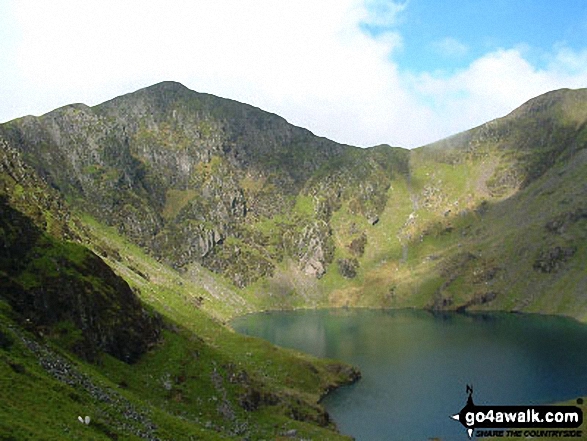
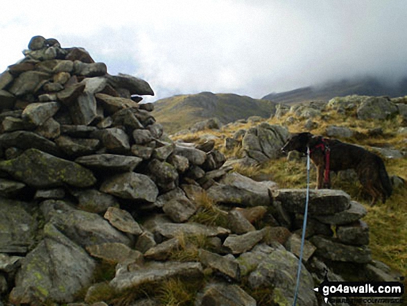
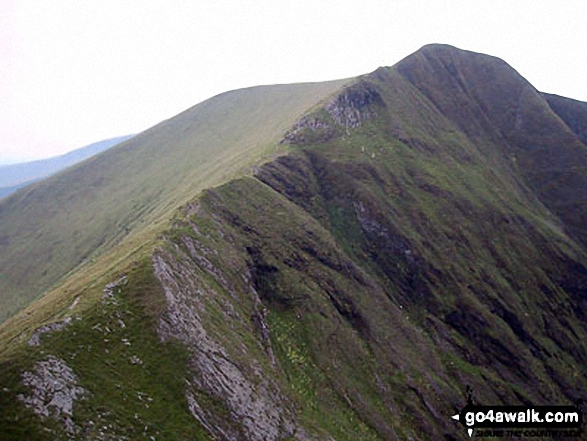
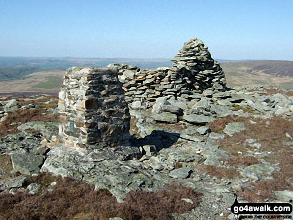
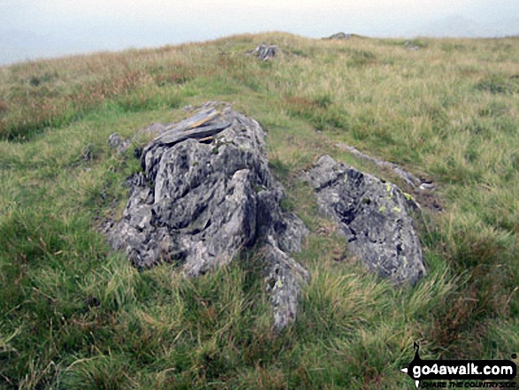
31. Craig Cwm Amarch
791m (2,596ft)
Mountain (38th in Wales, 86th in England & Wales)
Nuttall (49th in Wales, 105th in England & Wales)
To walk, climb & bag Craig Cwm Amarch use any of these easy-to-follow walks:
See the location of Craig Cwm Amarch and walks up it on a google MapCraig Cwm Amarch is on interactive maps:
OS Explorer (Orange Covers): OL23
OS Landranger (Pink Covers): 124
Craig Cwm Amarch is on downloadable PDF you can Print or Save to your Phone:
|
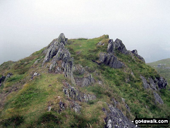
32. Moel Hebog
783m (2,569ft)
Mountain (40th in Wales, 94th in England & Wales)
Nuttall (51st in Wales, 114th in England & Wales)
Marilyn (17th in Wales, 425th in GB)
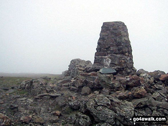
OS Trig Point
To walk, climb & bag Moel Hebog use this easy-to-follow walk:
See the location of Moel Hebog and walks up it on a google MapMoel Hebog is on interactive maps:
OS Explorer (Orange Covers): OL17
OS Landranger (Pink Covers): 115
Moel Hebog is on downloadable PDF you can Print or Save to your Phone:
|
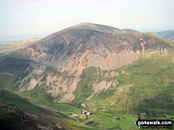
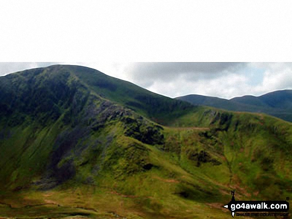
33. Drum (Carneddau)
771m (2,530ft)
Mountain (42nd in Wales, 102nd in England & Wales)
Nuttall (53rd in Wales, 126th in England & Wales)
To walk, climb & bag Drum (Carneddau) use any of these easy-to-follow walks:
See the location of Drum (Carneddau) and walks up it on a google MapDrum (Carneddau) is on interactive maps:
OS Explorer (Orange Covers): OL17
OS Landranger (Pink Covers): 115
Drum (Carneddau) is on downloadable PDF you can Print or Save to your Phone:
|
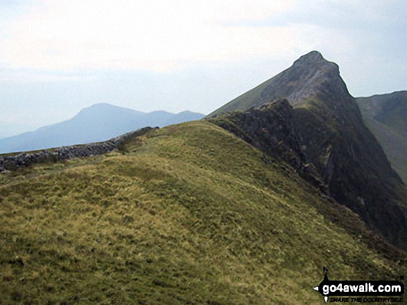
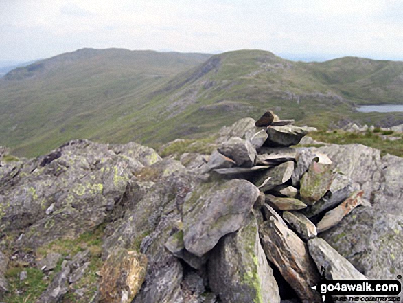
34. Moelwyn Mawr
770m (2,527ft)
Mountain (43rd in Wales, 103rd in England & Wales)
Nuttall (54th in Wales, 127th in England & Wales)
Marilyn (19th in Wales, 448th in GB)
OS Trig Point
To walk, climb & bag Moelwyn Mawr use any of these easy-to-follow walks:
See the location of Moelwyn Mawr and walks up it on a google MapMoelwyn Mawr is on interactive maps:
OS Explorer (Orange Covers): OL18
OS Landranger (Pink Covers): 124
Moelwyn Mawr is on downloadable PDF you can Print or Save to your Phone:
|
35. Gallt yr Ogof
763m (2,504ft)
Mountain (45th in Wales, 108th in England & Wales)
Nuttall (56th in Wales, 132nd in England & Wales)
To walk, climb & bag Gallt yr Ogof use either of these easy-to-follow walks:
See the location of Gallt yr Ogof and walks up it on a google MapGallt yr Ogof is on interactive maps:
OS Explorer (Orange Covers): OL17
OS Landranger (Pink Covers): 115
Gallt yr Ogof is on downloadable PDF you can Print or Save to your Phone:
|
36. Drosgl
758m (2,488ft)
Mountain (47th in Wales, 113th in England & Wales)
Nuttall (58th in Wales, 137th in England & Wales)
To walk, climb & bag Drosgl use either of these easy-to-follow walks:
See the location of Drosgl and walks up it on a google MapDrosgl is on interactive maps:
OS Explorer (Orange Covers): OL17
OS Landranger (Pink Covers): 115
Drosgl is on downloadable PDF you can Print or Save to your Phone:
|
37. Y Llethr
756m (2,481ft)
Mountain (48th in Wales, 115th in England & Wales)
Nuttall (59th in Wales, 141st in England & Wales)
Marilyn (21st in Wales, 475th in GB)
To walk, climb & bag Y Llethr use this easy-to-follow walk:
See the location of Y Llethr and walks up it on a google MapY Llethr is on interactive maps:
OS Explorer (Orange Covers): OL18
OS Landranger (Pink Covers): 124
Y Llethr is on downloadable PDF you can Print or Save to your Phone:
|
38. Moel Llyfnant
751m (2,465ft)
Mountain (50th in Wales, 119th in England & Wales)
Nuttall (62nd in Wales, 146th in England & Wales)
Marilyn (23rd in Wales, 480th in GB)
To walk, climb & bag Moel Llyfnant use either of these easy-to-follow walks:
See the location of Moel Llyfnant and walks up it on a google MapMoel Llyfnant is on interactive maps:
OS Explorer (Orange Covers): OL18 and
OL23
OS Landranger (Pink Covers): 124 and
125
Moel Llyfnant is on downloadable PDF you can Print or Save to your Phone:
|
39. Diffwys
750m (2,462ft)
Mountain (51st in Wales, 120th in England & Wales)
Nuttall (63rd in Wales, 147th in England & Wales)
OS Trig Point
To walk, climb & bag Diffwys use this easy-to-follow walk:
See the location of Diffwys and walks up it on a google MapDiffwys is on interactive maps:
OS Explorer (Orange Covers): OL18
OS Landranger (Pink Covers): 124
Diffwys is on downloadable PDF you can Print or Save to your Phone:
|
40. Yr Aran
747m (2,452ft)
Mountain (53rd in Wales, 124th in England & Wales)
Nuttall (65th in Wales, 151st in England & Wales)
Marilyn (24th in Wales, 489th in GB)
To walk, climb & bag Yr Aran use either of these easy-to-follow walks:
See the location of Yr Aran and walks up it on a google MapYr Aran is on interactive maps:
OS Explorer (Orange Covers): OL17
OS Landranger (Pink Covers): 115
Yr Aran is on downloadable PDF you can Print or Save to your Phone:
|
41. Craig Cwm Silyn
734m (2,409ft)
Mountain (55th in Wales, 134th in England & Wales)
Nuttall (69th in Wales, 166th in England & Wales)
Marilyn (25th in Wales, 514th in GB)
To walk, climb & bag Craig Cwm Silyn use any of these easy-to-follow walks:
See the location of Craig Cwm Silyn and walks up it on a google MapCraig Cwm Silyn is on interactive maps:
OS Explorer (Orange Covers): OL17
OS Landranger (Pink Covers): 115
Craig Cwm Silyn is on downloadable PDF you can Print or Save to your Phone:
|
42. Rhobell Fawr
734m (2,408ft)
Mountain (57th in Wales, 137th in England & Wales)
Nuttall (71st in Wales, 169th in England & Wales)
Marilyn (27th in Wales, 518th in GB)
OS Trig Point
To walk, climb & bag Rhobell Fawr use this easy-to-follow walk:
See the location of Rhobell Fawr and walks up it on a google MapRhobell Fawr is on interactive maps:
OS Explorer (Orange Covers): OL23
OS Landranger (Pink Covers): 124
Rhobell Fawr is on downloadable PDF you can Print or Save to your Phone:
|
43. Moel Eilio (Llanberis)
726m (2,383ft)
Mountain (59th in Wales, 142nd in England & Wales)
Nuttall (73rd in Wales, 176th in England & Wales)
Marilyn (28th in Wales, 535th in GB)
To walk, climb & bag Moel Eilio (Llanberis) use either of these easy-to-follow walks:
See the location of Moel Eilio (Llanberis) and walks up it on a google MapMoel Eilio (Llanberis) is on interactive maps:
OS Explorer (Orange Covers): OL17
OS Landranger (Pink Covers): 115
Moel Eilio (Llanberis) is on downloadable PDF you can Print or Save to your Phone:
|
44. Rhinog Fawr
720m (2,363ft)
Mountain (61st in Wales, 148th in England & Wales)
Nuttall (77th in Wales, 185th in England & Wales)
Marilyn (30th in Wales, 548th in GB)
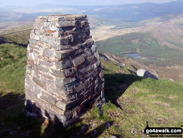
OS Trig Point
To walk, climb & bag Rhinog Fawr use this easy-to-follow walk:
See the location of Rhinog Fawr and walks up it on a google MapRhinog Fawr is on interactive maps:
OS Explorer (Orange Covers): OL18
OS Landranger (Pink Covers): 124
Rhinog Fawr is on downloadable PDF you can Print or Save to your Phone:
|
45. Rhinog Fach
712m (2,337ft)
Mountain (63rd in Wales, 156th in England & Wales)
Nuttall (82nd in Wales, 198th in England & Wales)
Marilyn (31st in Wales, 559th in GB)
Rhinog Fach was promoted to Marilyn status in August, 2021
To walk, climb & bag Rhinog Fach use this easy-to-follow walk:
See the location of Rhinog Fach and walks up it on a google MapRhinog Fach is on interactive maps:
OS Explorer (Orange Covers): OL18
OS Landranger (Pink Covers): 124
Rhinog Fach is on downloadable PDF you can Print or Save to your Phone:
|
46. Moelwyn Bach
710m (2,330ft)
Mountain (64th in Wales, 159th in England & Wales)
Nuttall (83rd in Wales, 201st in England & Wales)
To walk, climb & bag Moelwyn Bach use any of these easy-to-follow walks:
See the location of Moelwyn Bach and walks up it on a google MapMoelwyn Bach is on interactive maps:
OS Explorer (Orange Covers): OL18
OS Landranger (Pink Covers): 124
Moelwyn Bach is on downloadable PDF you can Print or Save to your Phone:
|
47. Trum y Ddysgl
709m (2,327ft)
Mountain (65th in Wales, 160th in England & Wales)
Nuttall (84th in Wales, 202nd in England & Wales)
Marilyn (32nd in Wales, 572nd in GB)
To walk, climb & bag Trum y Ddysgl use any of these easy-to-follow walks:
See the location of Trum y Ddysgl and walks up it on a google MapTrum y Ddysgl is on interactive maps:
OS Explorer (Orange Covers): OL17
OS Landranger (Pink Covers): 115
Trum y Ddysgl is on downloadable PDF you can Print or Save to your Phone:
|
48. Allt-fawr (Moelwyns)
698m (2,291ft)
Mountain (68th in Wales, 175th in England & Wales)
Nuttall (88th in Wales, 223rd in England & Wales)
Marilyn (34th in Wales, 599th in GB)
To walk, climb & bag Allt-fawr (Moelwyns) use this easy-to-follow walk:
See the location of Allt-fawr (Moelwyns) and walks up it on a google MapAllt-fawr (Moelwyns) is on interactive maps:
OS Explorer (Orange Covers): OL17
OS Landranger (Pink Covers): 115
Allt-fawr (Moelwyns) is on downloadable PDF you can Print or Save to your Phone:
|
49. Mynydd Mawr (Llyn Cwellyn)
698m (2,291ft)
Mountain (69th in Wales, 176th in England & Wales)
Nuttall (89th in Wales, 224th in England & Wales)
Marilyn (35th in Wales, 601st in GB)
To walk, climb & bag Mynydd Mawr (Llyn Cwellyn) use this easy-to-follow walk:
See the location of Mynydd Mawr (Llyn Cwellyn) and walks up it on a google MapMynydd Mawr (Llyn Cwellyn) is on interactive maps:
OS Explorer (Orange Covers): OL17
OS Landranger (Pink Covers): 115
Mynydd Mawr (Llyn Cwellyn) is on downloadable PDF you can Print or Save to your Phone:
|
50. Mynydd Drws-y-coed
695m (2,281ft)
Mountain (70th in Wales, 178th in England & Wales)
Nuttall (90th in Wales, 230th in England & Wales)
To walk, climb & bag Mynydd Drws-y-coed use any of these easy-to-follow walks:
See the location of Mynydd Drws-y-coed and walks up it on a google MapMynydd Drws-y-coed is on interactive maps:
OS Explorer (Orange Covers): OL17
OS Landranger (Pink Covers): 115
Mynydd Drws-y-coed is on downloadable PDF you can Print or Save to your Phone:
|
51. Arenig Fach
689m (2,261ft)
Mountain (73rd in Wales, 184th in England & Wales)
Nuttall (95th in Wales, 239th in England & Wales)
Marilyn (36th in Wales, 613th in GB)
OS Trig Point
To walk, climb & bag Arenig Fach use this easy-to-follow walk:
See the location of Arenig Fach and walks up it on a google MapArenig Fach is on interactive maps:
OS Explorer (Orange Covers): OL18
OS Landranger (Pink Covers): 124 and
125
Arenig Fach is on downloadable PDF you can Print or Save to your Phone:
|
52. Cnicht
689m (2,260ft)
Mountain (74th in Wales, 185th in England & Wales)
Nuttall (96th in Wales, 241st in England & Wales)
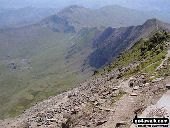
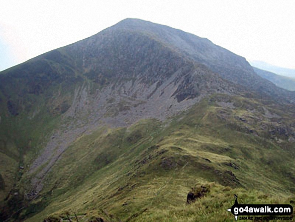
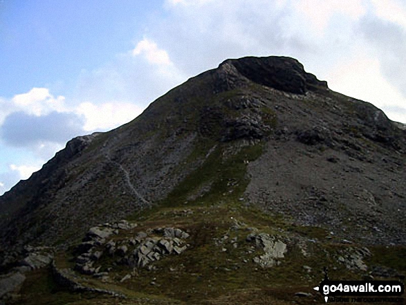
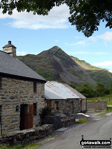
Cnicht is often referred to as the Welsh Matterhorn. When viewed from the village of Croesor and the south-west, Cnicht appears to be a perfect pyramid shaped mountain that resembles the Matterhorn on the border between Italy and Switzerland.
To walk, climb & bag Cnicht use any of these easy-to-follow walks:
See the location of Cnicht and walks up it on a google MapCnicht is on interactive maps:
OS Explorer (Orange Covers): OL17
OS Landranger (Pink Covers): 115
Cnicht is on downloadable PDF you can Print or Save to your Phone:
|
53. Maesglase (Craig Rhiw-erch)
678m (2,226ft)
Mountain (82nd in Wales, 199th in England & Wales)
Nuttall (108th in Wales, 261st in England & Wales)
Marilyn (38th in Wales, 641st in GB)
To walk, climb & bag Maesglase (Craig Rhiw-erch) use this easy-to-follow walk:
See the location of Maesglase (Craig Rhiw-erch) and walks up it on a google MapMaesglase (Craig Rhiw-erch) is on interactive maps:
OS Explorer (Orange Covers): OL23
OS Landranger (Pink Covers): 124 and
125
Maesglase (Craig Rhiw-erch) is on downloadable PDF you can Print or Save to your Phone:
|
54. Creigiau Gleision
678m (2,225ft)
Mountain (80th in Wales, 197th in England & Wales)
Nuttall (109th in Wales, 263rd in England & Wales)
Marilyn (37th in Wales, 634th in GB)
To walk, climb & bag Creigiau Gleision use any of these easy-to-follow walks:
See the location of Creigiau Gleision and walks up it on a google MapCreigiau Gleision is on interactive maps:
OS Explorer (Orange Covers): OL17
OS Landranger (Pink Covers): 115
Creigiau Gleision is on downloadable PDF you can Print or Save to your Phone:
|
55. Moel Druman
676m (2,219ft)
Mountain (81st in Wales, 198th in England & Wales)
Nuttall (111th in Wales, 266th in England & Wales)
To walk, climb & bag Moel Druman use this easy-to-follow walk:
See the location of Moel Druman and walks up it on a google MapMoel Druman is on interactive maps:
OS Explorer (Orange Covers): OL17
OS Landranger (Pink Covers): 115
Moel Druman is on downloadable PDF you can Print or Save to your Phone:
|
56. Moel Cynghorion
674m (2,212ft)
Mountain (83rd in Wales, 205th in England & Wales)
Nuttall (113th in Wales, 274th in England & Wales)
Marilyn (39th in Wales, 643rd in GB)
To walk, climb & bag Moel Cynghorion use any of these easy-to-follow walks:
See the location of Moel Cynghorion and walks up it on a google MapMoel Cynghorion is on interactive maps:
OS Explorer (Orange Covers): OL17
OS Landranger (Pink Covers): 115
Moel Cynghorion is on downloadable PDF you can Print or Save to your Phone:
|
57. Ysgafell Wen
672m (2,206ft)
Mountain (84th in Wales, 208th in England & Wales)
Nuttall (114th in Wales, 279th in England & Wales)
To walk, climb & bag Ysgafell Wen use this easy-to-follow walk:
See the location of Ysgafell Wen and walks up it on a google MapYsgafell Wen is on interactive maps:
OS Explorer (Orange Covers): OL17
OS Landranger (Pink Covers): 115
Ysgafell Wen is on downloadable PDF you can Print or Save to your Phone:
|
58. Esgeiriau Gwynion
671m (2,202ft)
Mountain (85th in Wales, 213th in England & Wales)
Nuttall (115th in Wales, 284th in England & Wales)
Marilyn (40th in Wales, 650th in GB)
To walk, climb & bag Esgeiriau Gwynion use this easy-to-follow walk:
See the location of Esgeiriau Gwynion and walks up it on a google MapEsgeiriau Gwynion is on interactive maps:
OS Explorer (Orange Covers): OL23
OS Landranger (Pink Covers): 124
Esgeiriau Gwynion is on downloadable PDF you can Print or Save to your Phone:
|
59. Waun-oer
670m (2,198ft)
Mountain (87th in Wales, 215th in England & Wales)
Nuttall (116th in Wales, 286th in England & Wales)
OS Trig Point
To walk, climb & bag Waun-oer use either of these easy-to-follow walks:
See the location of Waun-oer and walks up it on a google MapWaun-oer is on interactive maps:
OS Explorer (Orange Covers): OL23
OS Landranger (Pink Covers): 124
Waun-oer is on downloadable PDF you can Print or Save to your Phone:
|
60. Carnedd y Filiast (Arenigs)
669m (2,195ft)
Mountain (89th in Wales, 217th in England & Wales)
Nuttall (117th in Wales, 287th in England & Wales)
Marilyn (41st in Wales, 652nd in GB)
OS Trig Point
We hope to have walks that climb & bag Carnedd y Filiast (Arenigs) very soon
See the location of Carnedd y Filiast (Arenigs) and walks up it on a google MapCarnedd y Filiast (Arenigs) is on interactive maps:
OS Explorer (Orange Covers): OL18
OS Landranger (Pink Covers): 124 and
125
Carnedd y Filiast (Arenigs) is on downloadable PDF you can Print or Save to your Phone:
|
Page 2 of 3 Go to page:
1 2 3 |
View these 88 Mountains, Peaks, Tops and Hills:
# Whether you print copies or download them to your phone, these Peak Baggers' Maps will prove incredibly useful if you want to know what's what when you are up in the mountains and cannot get a phone signal.
Is there a Mountain, Peak, Top or Hill missing from the above google map or list?
Let us know an we will add it to our database.

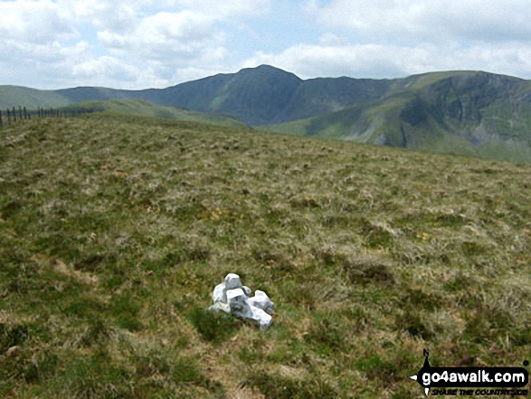
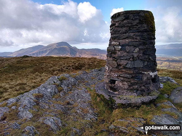
 Snowdon (Yr Wyddfa) in The ArenigsSnowdonia


